RiverReports preview · current series loading
Recent flow
RiverReports gauge
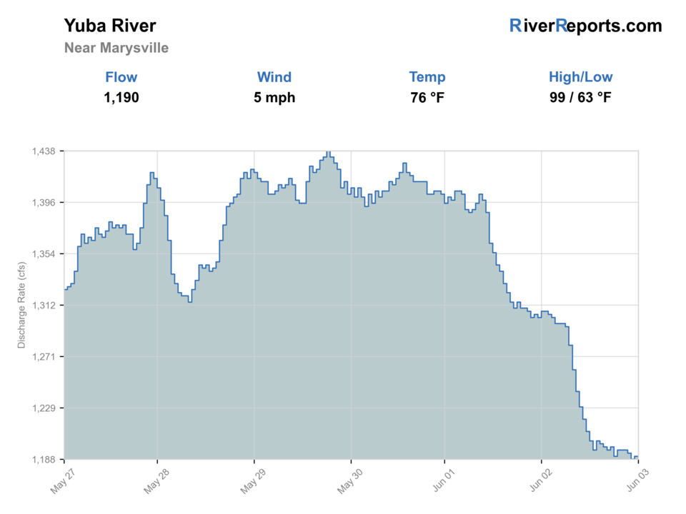
Showing the available RiverReports chart while the current structured flow series loads. Check the chart on RiverReports Opens in a new tab.

Generated artwork: BlueStreamFly · Regional illustration; not the exact location.
Water temperature is unconfirmed. Use a stream thermometer; stop trout fishing at 70°F or warmer, or sooner if fish show stress.
Rating updatedRiver local time:
The current NWS air forecast is about 62F, and the next 24-hour high reaches about 89F. This is an air forecast, not a water-temperature reading. Fish early and check the river with a stream thermometer.
NWS air forecast near
This is an air forecast, not a river-temperature reading. Check the water with a stream thermometer before fishing in hot weather.
RiverReports gauge
Showing the available RiverReports chart while the current structured flow series loads. Check the chart on RiverReports Opens in a new tab.
Sunny
The National Weather Service forecast is temporarily unavailable.
RiverReports gauge: Yuba River near Marysville
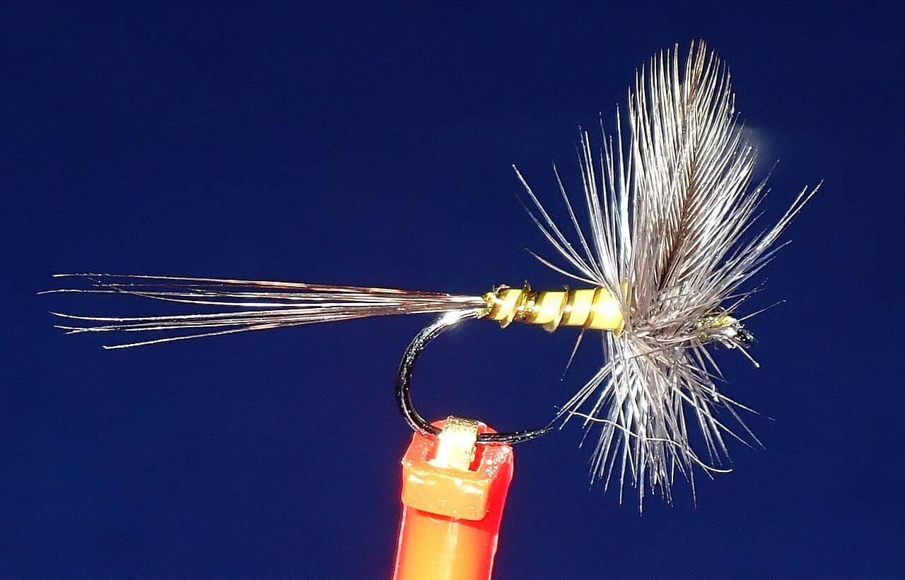
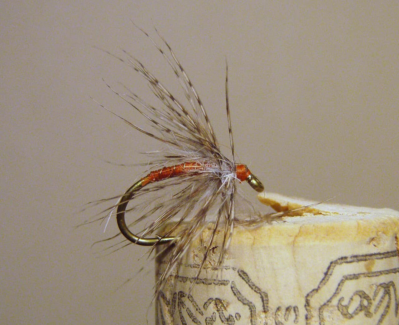
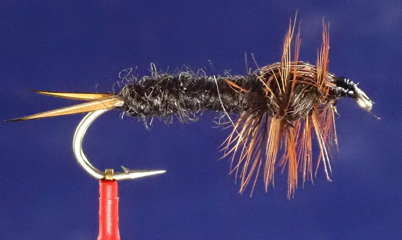
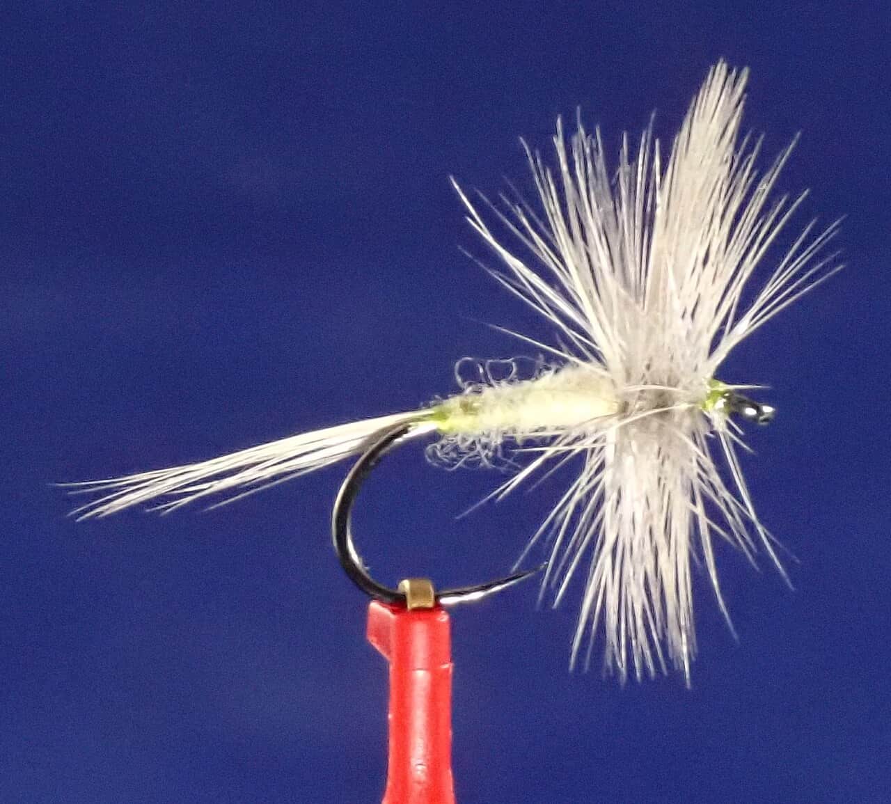
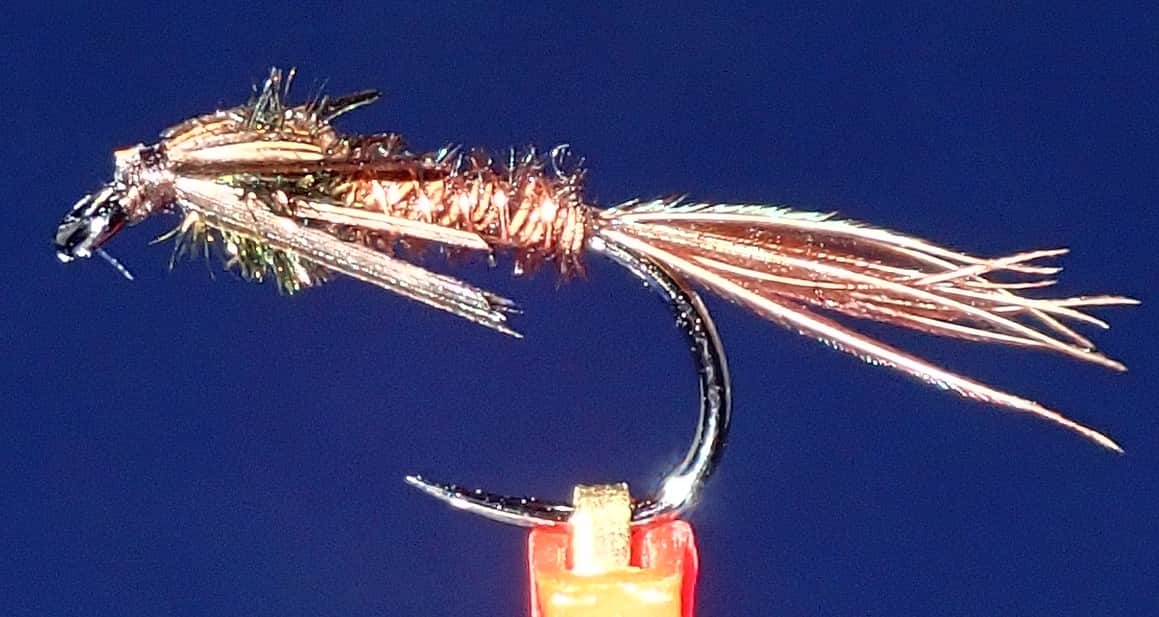
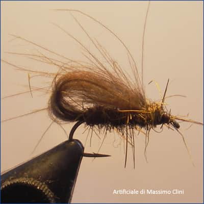
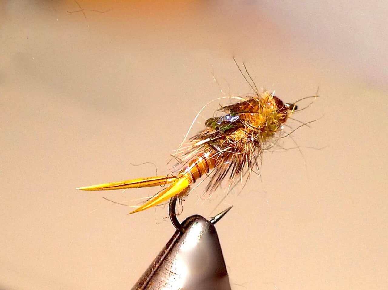
Seasonal starting points, not a live hatch report. Match what you see on the water.
Each fly name opens its matching Fly Box guide.
The best Lower Yuba days come when flows are stable, clarity is good, and you have a legal access plan. Fish the river like pressured wild trout water: move slowly, change depth often, and match the hatch only after checking the rocks and edges.
Use long leaders, careful approaches, small nymphs, emergers, and low-profile dry flies.
The most flexible window for nymphing riffles, swinging soft hackles, and watching for heads.
Wading can become dangerous fast. Focus on safe edges or wait for a lower trend.
Check temperature, shorten fights, and shift plans if trout handling becomes stressful.
Wading, Bank fishing, and Floating have the same top score. Use current access, footing, weather, and local rules to choose.
Wading is in play only where your chosen access has clear footing, legal entry, and no forced crossings.
Bank and edge fishing remains a practical low-commitment option if access is legal and footing is safe.
A float is in play where this report supports boat access and wind, releases, and shuttle logistics are manageable.
Is Lower Yuba River worth the trip today? Check flow, weather, hatches, access, and rules for California before you go.
The Lower Yuba can be a technical, hatch-driven trout river, but public access is limited and flows can change with upstream management. Check the Marysville gauge and current CDFW rules before choosing a reach.
The current NWS air forecast is about 62F, and the next 24-hour high reaches about 89F. This is an air forecast, not a water-temperature reading. Fish early and check the river with a stream thermometer.
USGS shows 896 cfs. The flow has been stable over about 6 hours. USGS marks this reading provisional and may revise it. USGS records for this date (1970-2025, 56 readings) show a typical middle range of 471 cfs to 1,110 cfs. Flow is within the typical range for this date, so weather, temperature, and access become the next checks.
Fall: Cooler water and salmon activity make etiquette, redd awareness, and current rules important.
No active NWS alert was returned for this forecast point.
Skip the trip when release notices suggest rapid change, when warm-weather fish handling is questionable, when the legal access points are already overloaded, or when you would need to guess about private-boundary crossings to reach the water you want.
Use the Marysville gauge and Yuba Water condition notes as a trend tool, not a magic number. Stable or slowly easing releases fish better than abrupt change, and Yuba Water explicitly warns that flows can change rapidly, so a plan that looked fine at breakfast can become a bad wading idea by midday.
Skip the trip when release notices suggest rapid change, when warm-weather fish handling is questionable, when the legal access points are already overloaded, or when you would need to guess about private-boundary crossings to reach the water you want.
Pick the access before the flies: verify the current Yuba Water conditions, decide whether Highway 20, Parks Bar, or another known legal access is your anchor, then fish one reach patiently instead of burning time scouting every visible gravel bar on the river.
If the Lower Yuba is too pushy, crowded, or warm, move to the Feather for a bigger lower-river backup or to the North Yuba if you want a smaller freestone day with different wading and hatch expectations.
Use these places as starting points. Open the access link below and check posted signs before you park or enter.
Verify CDFW's current Lower Yuba River rules, Wild Trout Water notes, steelhead report-card requirements, and emergency notices before fishing.
A common planning landmark, but confirm parking, signs, water level, and legal access before fishing.
Useful for flow reference near the lower river, not a blanket access permission.
Use official access points and respect closures, posted signs, and private boundaries.
Nearby anadromous water if Yuba flows, access, or clarity are wrong.
Official agencies and primary river operators come first. Secondary tools are labeled so you know what carries the most weight.
Check what is allowed, where the rule applies, and whether the river is open.
Check the latest river reading and forecast before you leave.
Check public entry points, land rules, and seasonal access changes.
Use these links for stocking, safety, and other local details.
Check what is allowed, where the rule applies, and whether the river is open.
Open the current rules and check the river section, season, and special limits.
Open the current rules and check the river section, season, and special limits.
Check the latest river reading and forecast before you leave.
Open this page and check the latest safety advice before your trip.
Open this river reading to check the latest level, flow, and update time.
Open this river reading to check the latest level, flow, and update time.
Open this river reading to check the latest level, flow, and update time.
Check public entry points, land rules, and seasonal access changes.
Open the land or access page, then check signs before you park or enter.
Use these links for stocking, safety, and other local details.
Open this page for more river information and check when it was last updated.
Open this page for more river information and check when it was last updated.
Open this page and check the latest safety advice before your trip.
What was checked: This Lower Yuba report combines current flow, access, weather, and regulation sources with practical wild-trout planning guidance. Public review dates change only after material source review or meaningful content updates.
Live measurements and forecasts keep their provider timestamps. Rules, access, and trip guidance use the source-review date shown here. BlueStreamFly planning advice is editorial interpretation, not an agency notice.
First-hand experience: BlueStreamFly does not claim a first-hand visit or local field test for this report unless a real contributor is explicitly named and linked.
Use USGS 11421000, Yuba River near Marysville, along with Yuba Water's current river conditions.
No. Access is limited and mixed with private land, so verify legal parking and river entry before fishing.
Bring stoneflies, PMDs, caddis, BWOs, midges, soft hackles, and a few streamers.
Only at appropriate flows and from safe access. The river has slick cobble and can become pushy quickly.