RiverReports preview · current series loading
Recent flow
RiverReports gauge
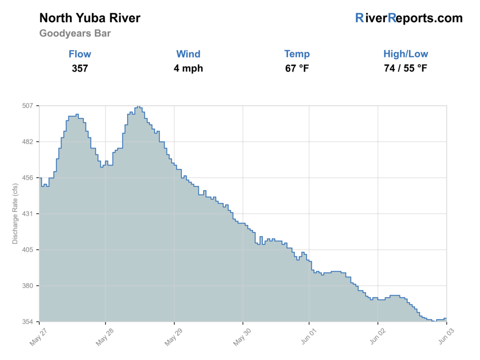
Showing the available RiverReports chart while the current structured flow series loads. Check the chart on RiverReports Opens in a new tab.
No single best way to fish. Wading and Floating have the same top score. Use current access, footing, weather, and local rules to choose.
Check first: Water temperature is unconfirmed. Use a stream thermometer before fishing.
Rating updatedRiver local time:
The current NWS air forecast is about 67F, and the next 24-hour high reaches about 87F. This is an air forecast, not a water-temperature reading. Fish early and check the river with a stream thermometer.
NWS air forecast near
This is an air forecast, not a river-temperature reading. Check the water with a stream thermometer before fishing in hot weather.
RiverReports gauge
Showing the available RiverReports chart while the current structured flow series loads. Check the chart on RiverReports Opens in a new tab.
Sunny
The National Weather Service forecast is temporarily unavailable.
RiverReports gauge: North Yuba River at Goodyears Bar
Seasonal starting points, not a live hatch report. Match what you see on the water.
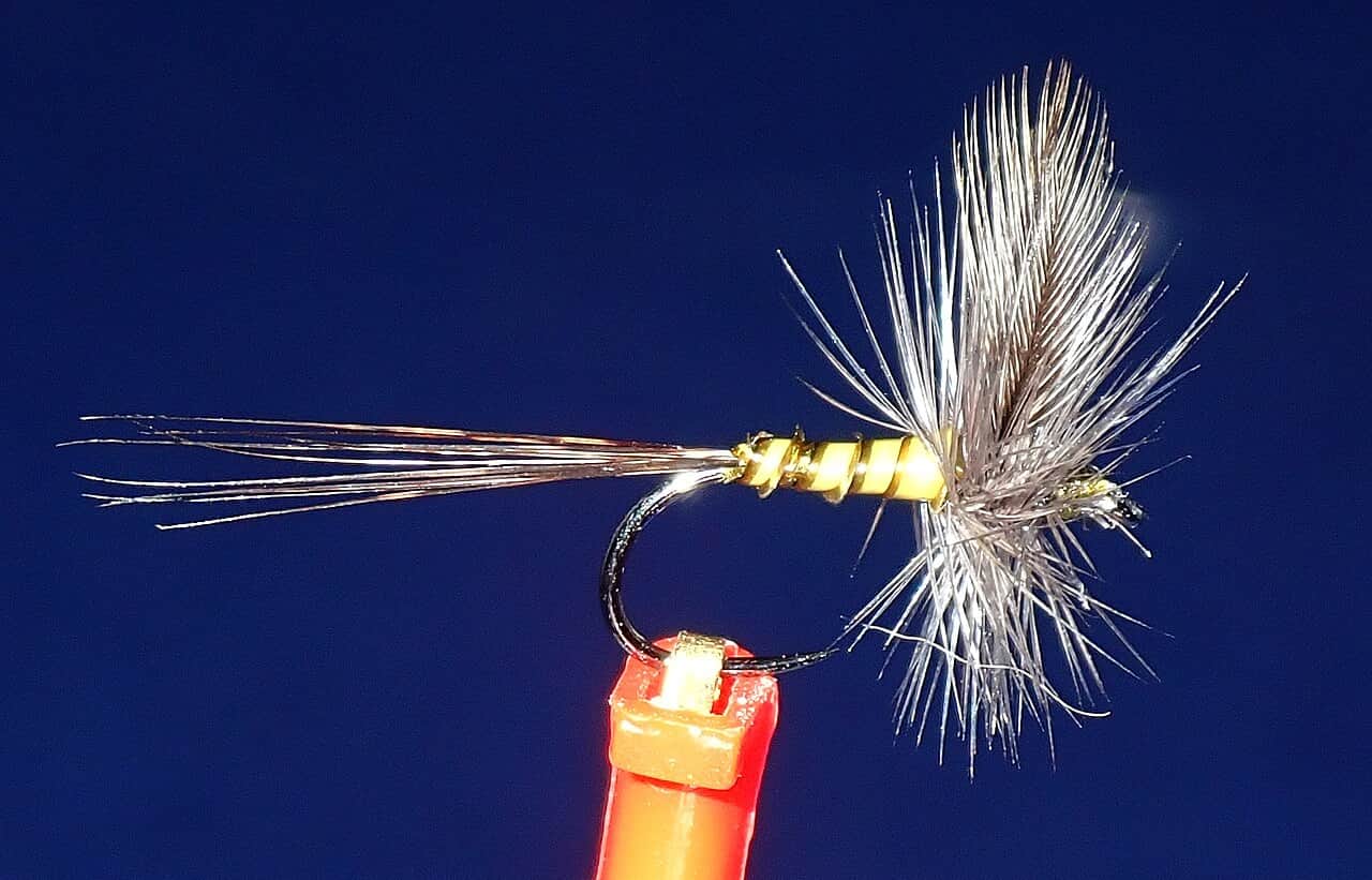
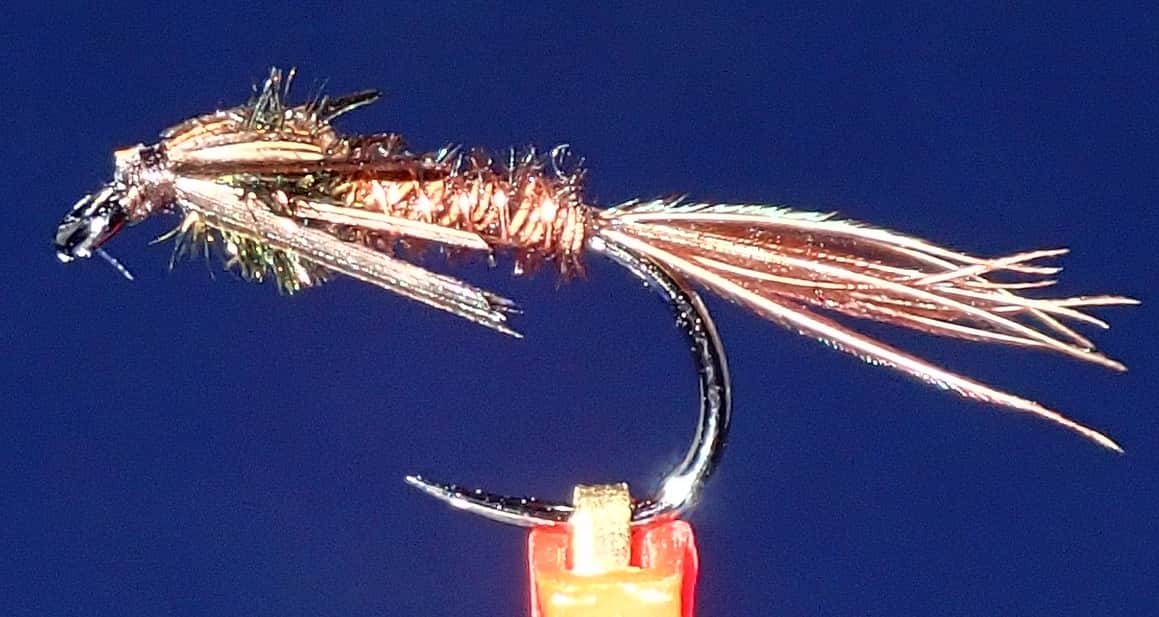
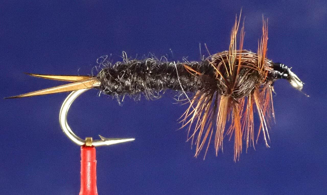
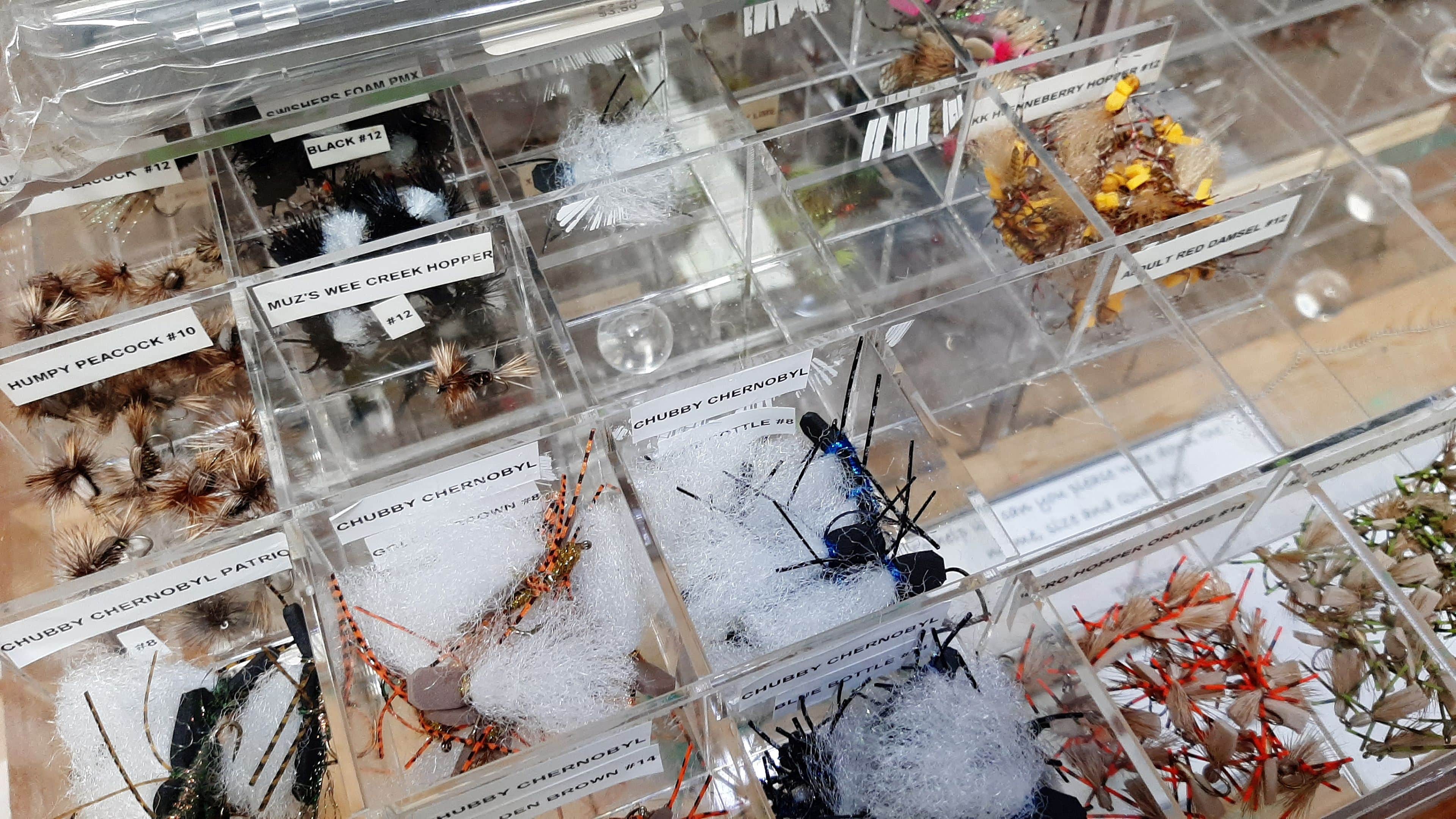
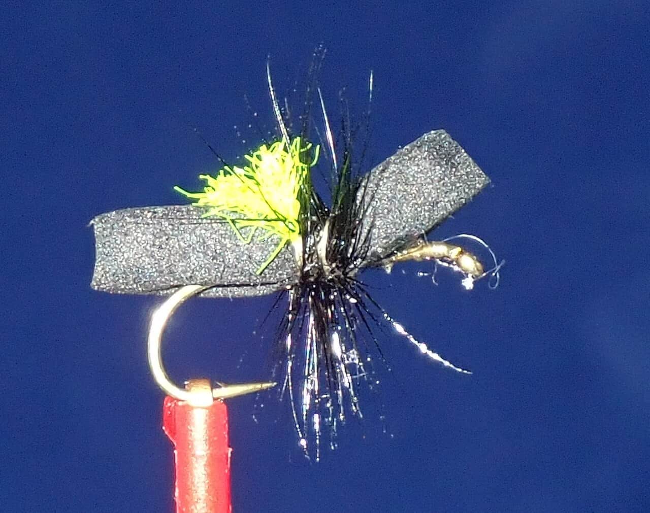
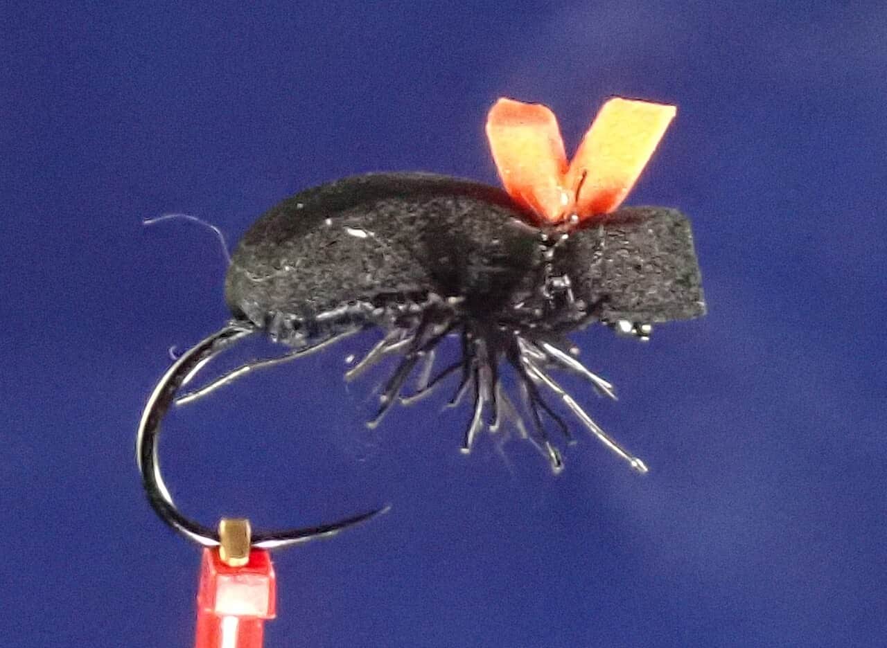
Also try small droppers
Each fly name opens its matching Fly Box guide.
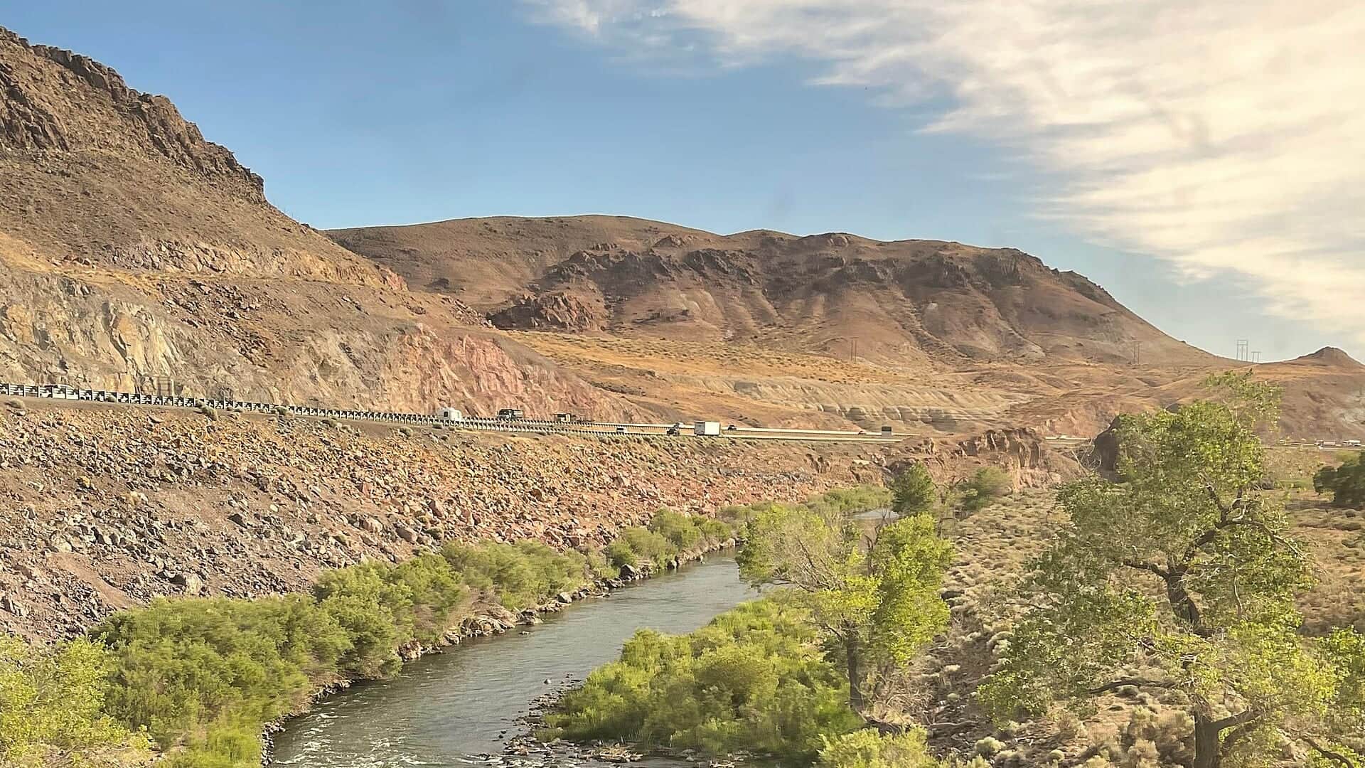
The North Yuba is a flow-sensitive mountain river. Treat wadeability as the first decision, then fish broken pocket water, boulder edges, and softer seams when conditions are stable.
Avoid crossings, fish safe edges, and consider smaller streams or a different day if the river is too powerful.
Work upstream through pocket water with buoyant dries, dry-dropper rigs, and compact nymphs.
Use longer leaders, smaller flies, and careful approaches. Fish can slide into shaded slots and broken oxygenated water.
Nymph first, then switch to dries when sunlight, insects, and trout movement improve.
Wading and Floating have the same top score. Use current access, footing, weather, and local rules to choose.
Wading is in play only where your chosen access has clear footing, legal entry, and no forced crossings.
This report does not recommend bank fishing on this reach.
A float is in play where this report supports boat access and wind, releases, and shuttle logistics are manageable.
Is North Yuba River worth the trip today? Check flow, weather, hatches, access, and rules for Goodyears Bar, California before you go.
The North Yuba is a cold, fast mountain river where runoff, releases, and canyon access can matter more than fly selection. Start with flows, then choose pocket-water tactics that match the current.
The current NWS air forecast is about 67F, and the next 24-hour high reaches about 87F. This is an air forecast, not a water-temperature reading. Fish early and check the river with a stream thermometer.
A heat alert is active near this forecast point, so the score is capped at caution until water temperature and fish-handling risk are checked. NWS alert: Heat Advisory issued October 7 at 8:51AM PDT until October 8 at 10:00PM PDT by NWS Sacramento CA.
Wade: Wading is in play only where your chosen access has clear footing, legal entry, and no forced crossings.
USGS shows 119 cfs. The flow has been stable over about 6 hours. USGS marks this reading provisional and may revise it. USGS records for this date (1931-2026, 95 readings) show a typical middle range of 115 cfs to 165 cfs. Flow is within the typical range for this date, so weather, temperature, and access become the next checks.
Fall: Lower, clearer water rewards careful approaches, longer leaders, and smaller attractor or mayfly patterns.
Use the Goodyears Bar trend to judge whether the river is in a practical pocket-water window. Stable summer and early-fall flows are the clearest fit. Steep runoff, storm bumps, or cold pushy current should move you to the bank, a smaller stream, or another day.
Skip the North Yuba when the river is too pushy to cross or even to enter safely, when wildfire or road issues complicate the canyon, when the easiest pullouts are already crowded, or when you want a relaxed beginner day rather than technical freestone wading.
Base the day around one Highway 49 area near Goodyears Bar or Downieville, then fish upstream through a limited set of pocket-water targets instead of bouncing between every roadside turnout you can see on the map.
If the North Yuba is too high or too busy, pivot to Hot Creek for a very different technical trout plan or to the Lower Yuba if you want a larger river with more hatch-driven structure and less pocket-water scrambling.
Use these places as starting points. Open the access link below and check posted signs before you park or enter.
Confirm current California Department of Fish and Wildlife inland rules and emergency closures before fishing. Also check fish consumption advisories where relevant before keeping or eating fish.
Use as the primary planning anchor for this report and the RiverReports/USGS gauge reach.
Roadside planning is useful, but anglers must respect private property, parking limits, and safe pullouts.
A nearby services and planning base for North Yuba trips upstream of Goodyears Bar.
Nearby public-land stream options can help when the main river is too high, too busy, or unsafe.
Official agencies and primary river operators come first. Secondary tools are labeled so you know what carries the most weight.
Check what is allowed, where the rule applies, and whether the river is open.
Check the latest river reading and forecast before you leave.
Check public entry points, land rules, and seasonal access changes.
Use these links for stocking, safety, and other local details.
Check what is allowed, where the rule applies, and whether the river is open.
Open the current rules and check the river section, season, and special limits.
Open the current rules and check the river section, season, and special limits.
Open the current fish eating advice and check which fish and waters it covers.
Check the latest river reading and forecast before you leave.
Open this page and check the latest safety advice before your trip.
Open this river reading to check the latest level, flow, and update time.
Open this river reading to check the latest level, flow, and update time.
Check public entry points, land rules, and seasonal access changes.
Open the land or access page, then check signs before you park or enter.
Open the land or access page, then check signs before you park or enter.
Use these links for stocking, safety, and other local details.
Open this page and check the latest safety advice before your trip.
Open this page and check the latest safety advice before your trip.
What was checked: This North Yuba report is maintained from current flow, weather, forest-access, regulation, and fish-advisory sources so anglers can plan the Goodyears Bar corridor with realistic wading and canyon-travel expectations.
Live measurements and forecasts keep their provider timestamps. Rules, access, and trip guidance use the source-review date shown here. BlueStreamFly planning advice is editorial interpretation, not an agency notice.
First-hand experience: BlueStreamFly does not claim a first-hand visit or local field test for this report unless a real contributor is explicitly named and linked.
Yes, especially in summer and early fall when flows are approachable and trout are holding in pocket water. A buoyant dry with a small dropper is often a practical starting point.
Use the RiverReports page for a polished chart where available, and keep USGS 11413000 as the durable official gauge reference.
It can be. The river is cold, rocky, and flow-sensitive. Avoid crossings in elevated flows and use traction and a wading staff.
Yes. CDFW emergency rules, fire restrictions, and road conditions can affect Sierra fishing trips.