Conditions and evidence
Checks gauge identity, observation times, weather context, data gaps, and whether the displayed recommendation matches the available evidence.
Source standards
Every fishing recommendation should show the link, the check date, and what may still be unclear.
Read the standardsThe basic rule
Fishing advice is useful only when you can check the facts that may change your trip. Rules, closures, access, flow, weather, fish, and safety notes should stay close to their links.
BlueStreamFly turns those facts into a simple plan. It never replaces an agency notice or what you see at the river.
Who checks river reports
This is BlueStreamFly’s transparent organizational byline, not a fictional person. It identifies the review process that is accountable for every river report.
First-hand experience: BlueStreamFly does not claim a first-hand visit or local field test for this report unless a real contributor is explicitly named and linked.
Checks gauge identity, observation times, weather context, data gaps, and whether the displayed recommendation matches the available evidence.
Checks direct agency rules, closures, reach boundaries, public-access sources, posted-sign cautions, and conservation claims.
Keeps hatches, flies, tactics, and trip planning separate from official facts and labels advice that has not been field tested locally.
Checks citations, review dates, conflicting information, plain language, disclosure wording, and the correction path.
What supports each claim
The source depends on the question. Rules come from rule-makers; measurements come from monitoring systems.
State fish and wildlife agencies, emergency closure pages, federal land managers, and other official notices.
Official rules and closure links stay separate from fishing advice.
A USGS gauge or checked RiverReports page that matches the river.
Show the reading, trend, time, link, and whether the reading may still change.
National Weather Service forecast points for temperature, wind, storms, precipitation, and overnight conditions.
The forecast location and official NWS link remain visible beside the river plan.
Public land, park, forest, hatchery, agency, and other land-manager sources.
A report does not imply legal access when the boundary or entry point is unclear.
Agency pages for fish species, stocking, habitat, and eating-fish warnings.
Advice about keeping or handling fish links back to the agency.
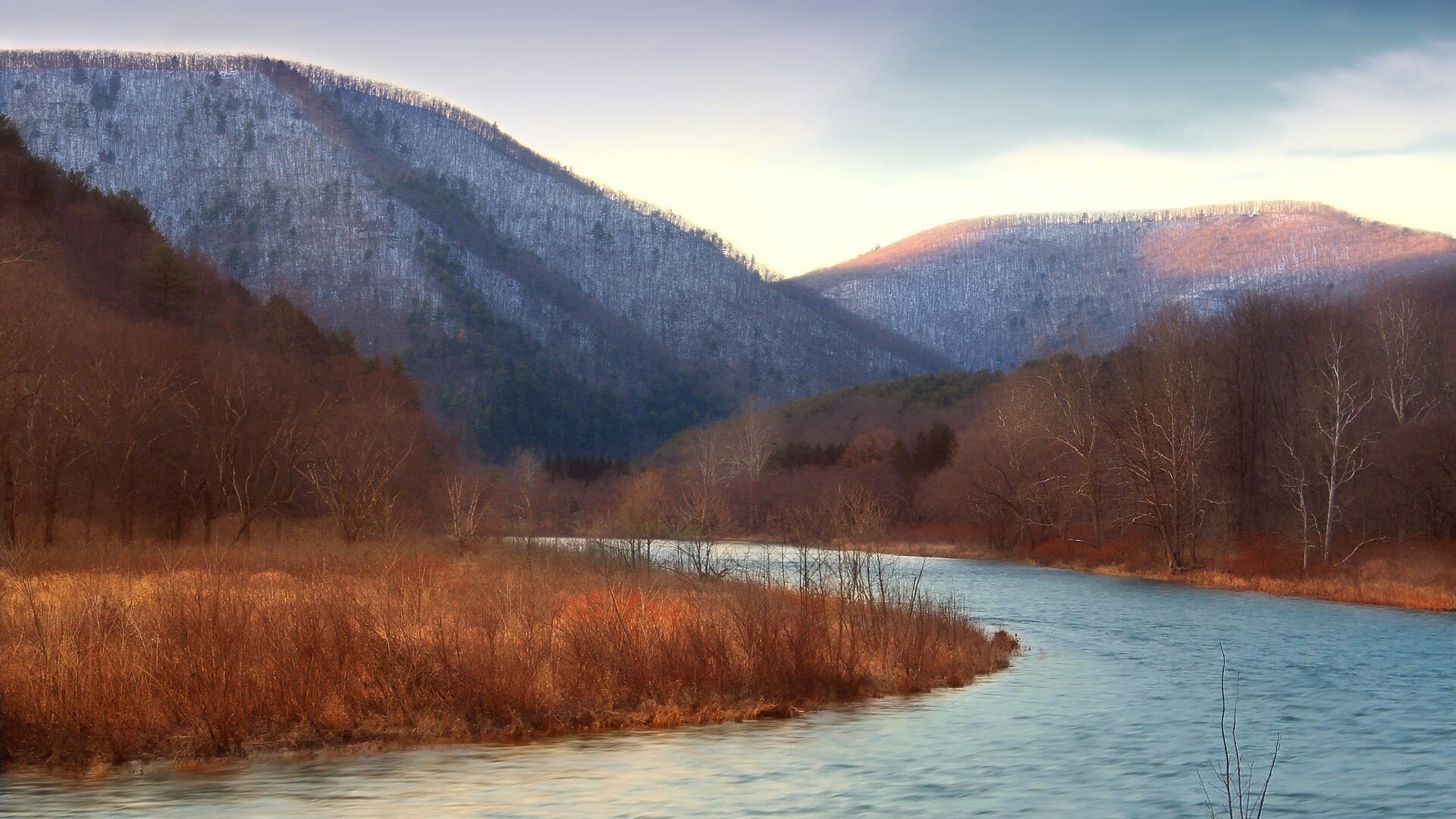
Source-backed photographs with creator and reuse records. Clear instructional diagrams stay labeled as illustrations.
No generated river scenery or unrelated photo stand-ins. When a suitable photograph is unavailable, the page uses a text-only header.
Check the time
A live gauge time is not the same as the date when we checked access notes or fishing tips.
When the gauge recorded the latest water value.
When the weather provider produced the forecast.
When BlueStreamFly combined the available live signals into the fishability score.
When the report links, access notes, and fishing tips were last checked.
What reviewed does not mean
01A fishability score is a planning signal, not a guarantee that fish will feed.
02A report does not replace current regulations, emergency closures, or legal-access confirmation.
03A forecast can change after the page loads, and a gauge reading may change, arrive late, or be unavailable.
04No-gauge rivers stay conservative and explain which live water signal is missing.
Corrections
Send the BlueStreamFly page, the part that looks wrong, and an agency link when the change is about rules, access, closures, safety, fish, or flow.
Report a correctionSee the standards in practice