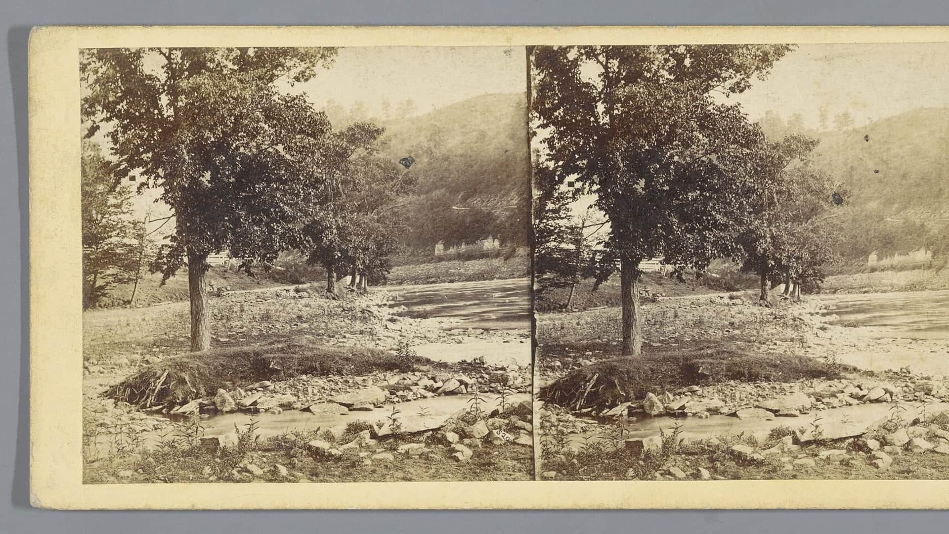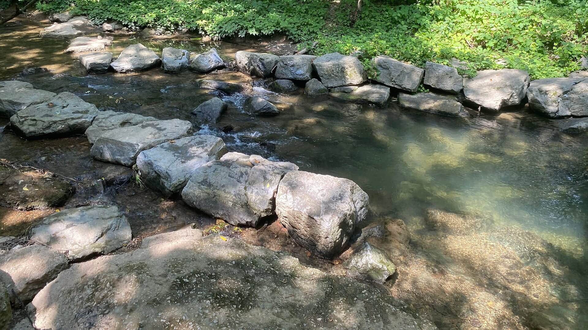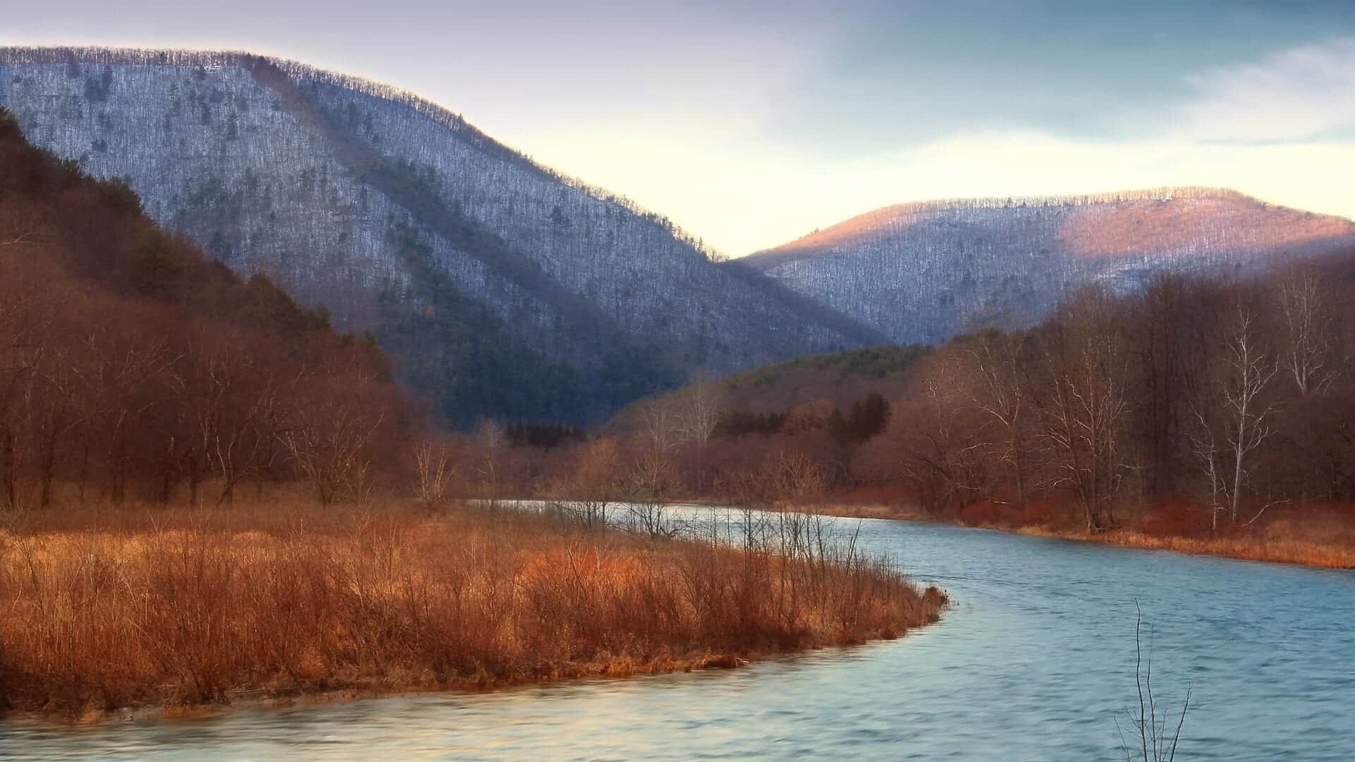
Pine Creek water or watershed scenery in Pennsylvania

Fly fishing report · Northeast

Pine Creek

A practical Pine Creek report for flows, hatches, flies, access, and trip planning through the north-central Pennsylvania gorge corridor.

Check flow & weather
Today's fishing decisionMost live data available
Skip today

Verify conditions before committing.

Current USGS flow is 456 cfs. It has risen about 100% over the past 6 hours. Today's flow is high for this date; the upper end of the normal range is near 232 cfs. Fishable water may exist, but do not rate it highly without a safe access, clarity, and wading or boat plan.

Best supported approachCheck the water first
Watch nextFlow: Current USGS flow is 456 cfs. It has risen about 100% over the past 6 hours.
Updated Aug 3, 1:16 AM UTCUsually refreshes about every 15 minutes
Before choosing how to fishCheck the water first

There is not enough reliable current information to recommend wading, bank fishing, or floating.

Wade, bank, and floatLimited data

Use the live sources and what you see at the river before choosing an approach.

Check before you drive

Current flow and weather.

Look at whether the river is rising or falling, then check wind, rain, and storms. These can change both safety and fishing.

Loading current flow and weather.

Before you rely on this report

How current is this report?

Conditions can change quickly. Check these dates before you decide to fish, and open the official source when safety or rules matter.

River conditions
Checked Aug 2, 2026, 9:16 PM

High confidence in the current score inputs.

Fishing guidance
Reviewed Jul 6, 2026

7 sources are listed below for you to open.

Public access
1 public access point checked

4 public access records are listed. Private spots are never shown.

Rules and closures
Official rule links checked

Source checked Jul 30, 2026

Plan your access

Know where you can enter.

These are public parking, launch, trail, or recreation areas—not secret fishing spots. We never show an angler's private pins, notes, or photos here.

1
Shown on map
3
No map pin
Location checkedDescription only
01

Boat launch

Big Meadows Access Area (Ansonia)

Agency map location

A maintained Pine Creek Water Trail access with public parking at the north end of the gorge corridor.

Restrictions and seasonal notes

A public launch and parking area does not make adjoining shoreline or nearby private land public.

Use posted parking, launch, and state-forest rules.

High or rapidly rising water can make Pine Creek unsafe even when the access area is open.

Official source Checked Jul 30, 2026
02

Area description

Cedar Run corridor

No map pin

Useful for checking the gauge area and planning access around the central Pine Creek corridor.

Restrictions and seasonal notes

Use marked public access and respect private property along roads, cabins, and camp areas.

The rail trail is valuable because it lets anglers spread out without relying only on road pullouts.

Official source Checked Jul 6, 2026
03

Trailhead

Slate Run area

No map pin

A common planning base in the gorge corridor with nearby trail and creek access options.

Restrictions and seasonal notes

Use marked public access and respect private property along roads, cabins, and camp areas.

The rail trail is valuable because it lets anglers spread out without relying only on road pullouts.

Official source Checked Jul 6, 2026
04

Trailhead

Blackwell and rail-trail corridor

No map pin

A practical area for combining walking or biking with longer exploratory fishing days.

Restrictions and seasonal notes

Use marked public access and respect private property along roads, cabins, and camp areas.

The rail trail is valuable because it lets anglers spread out without relying only on road pullouts.

Official source Checked Jul 6, 2026

How to fish it

Start with flow, temperature, and clarity.

Pine Creek can be excellent when flows are stable and water temperatures are trout-safe. Because the creek is large, conditions can change quickly after rain, snowmelt, or hot weather.

  • Use the Cedar Run gauge before choosing a reach or wading plan.
  • Carry a thermometer in late spring and summer; warm water should change the plan.
  • Expect spring hatches to drive the most classic dry-fly windows.
  • If the creek is high or stained, fish edges, softer inside seams, and streamer water instead of heavy mid-channel current.
Why the score looks this way
FlowUse caution

USGS shows 456 cfs with a rising about 100% over about 6 hours trend. Today's flow is high for this date; the upper end of the normal range is near 232 cfs. Fishable water may exist, but do not rate it highly without a safe access, clarity, and wading or boat plan.

Short-term weatherUse caution

The forecast has storm or heavy-precipitation risk, so timing and access matter more than the score alone.

Public alertUse caution

A Flood Watch is active near this forecast point, so the score is capped until runoff, clarity, crossings, and road access are checked. NWS alert: Flood Watch issued August 2 at 3:58PM EDT until August 3 at 2:00AM EDT by NWS State College PA.

SeasonHelps score

Early summer: Morning and evening windows become more important as water warms.

WeatherHelps score

The NWS forecast is about 71F with Showers And Thunderstorms.

Read the water

What changes the plan.

Pine Creek fishes best when flows are stable enough for safe wading and water temperatures support trout activity. Match tactics to season, clarity, and the insects you actually see on the water.

01

Low and clear

Lengthen leaders, reduce weight, fish early or late, and avoid unnecessary wading through likely holding water.

02

Stable medium flow

This is the most flexible window: dry-dropper rigs, nymphs, soft hackles, and hatch-matching dries can all be useful.

03

Rising or stained

Focus on banks, slow seams, and streamers. Skip unsafe crossings and avoid pushing into fast mid-channel water.

04

Warm water

Check temperature before fishing for trout. If temperatures are unsafe, switch species, fish colder tributaries where legal, or wait for cooler conditions.

Your trip plan

Know when to go—and when to skip it.

Best flows

Use the Cedar Run gauge trend more than a single magic number. Stable or slowly falling water is the most useful fly-fishing window; rising, stained, or pushy water should move you to bank work, streamers, or a safer plan.

When to skip

Skip trout fishing when water temperatures are stressful, crossings are unsafe, thunderstorms or muddy tributaries are affecting the corridor, or current PFBC reach rules do not match your plan.

Local plan

Pick the access style before picking flies: Cedar Run for gauge-area checks, Slate Run for a central gorge base, Blackwell for longer trail-linked exploration, and Big Meadows/Ansonia when you need the upper water-trail access context.

Backup water

If the main stem is too high, warm, or crowded, research Little Pine Creek, Cedar Run, or Slate Run only after checking current rules and access. If temperatures are the issue, switch species, move to colder legal water, or wait for better conditions.

Hatches & flies

Bring a flexible box.

TimingWhat to watchUseful flies
01

Start with the gauge. Rising or stained water favors streamers and larger nymphs; falling, clearer water favors dry-dropper rigs and lighter presentations.

02

Fish edges, softer seams, and broken pocket water before stepping into the main current.

03

Carry a thermometer during warm periods and stop trout fishing when temperatures are unsafe.

04

Use the hatch chart as planning guidance, then let current insects on the water decide the exact fly.

05

On bright, low water days, cover water quietly and prioritize shade, depth changes, and broken surface texture.

Rules & closures

Check the official rules before you go.

Open the agency page to confirm the exact river section, species, season, tackle rules, limits, and emergency closures.

Official links checked
Rules for this river or sectionNo special rule found
We did not find a special rule for this river.

We checked the state source but did not find a clearly supported exception for this river. Check the official rules for the exact section you plan to fish.

Rules checkedJul 30, 2026
Report a correction ↗
Always follow the official rule

This summary helps with trip planning. The linked agency rule is the one you must follow.

Updates from anglers

What anglers are seeing.

Recent observations from general areas of Pine Creek. We review every update before it appears and never publish exact fishing spots, private access details, or photo locations.

Angler updates are not loading right now.

You can still use the river plan above. Check back later for recent observations from other anglers.

Where this report comes from

Open the sources we checked.

Fishing guidance checked: Jul 6, 2026

Site check: Jul 14, 2026. We regularly test report links, live scores, flow and weather data, and page loading. The content date changes only when the fishing guidance or its sources change.

Common questions

Before you leave.

Is Pine Creek good for fly fishing?+

Yes, Pine Creek can be very useful for fly anglers, especially when flows and temperatures are right. The key is choosing the right reach, checking current regulations, and matching tactics to water conditions.

What gauge should I check?+

Use USGS 01548500, Pine Creek at Cedar Run, as the primary flow reference for this report.

What flies should I bring?+

Carry BWO and caddis patterns, sulfur and March brown options in spring, terrestrials for summer, small nymphs, soft hackles, and a few small streamers.

Can I fish from the Pine Creek Rail Trail?+

The rail-trail corridor is one of the most practical access tools for planning, but anglers still need to use legal public access, respect private property, and confirm any local restrictions.