RiverReports preview · current series loading
Recent flow
RiverReports gauge
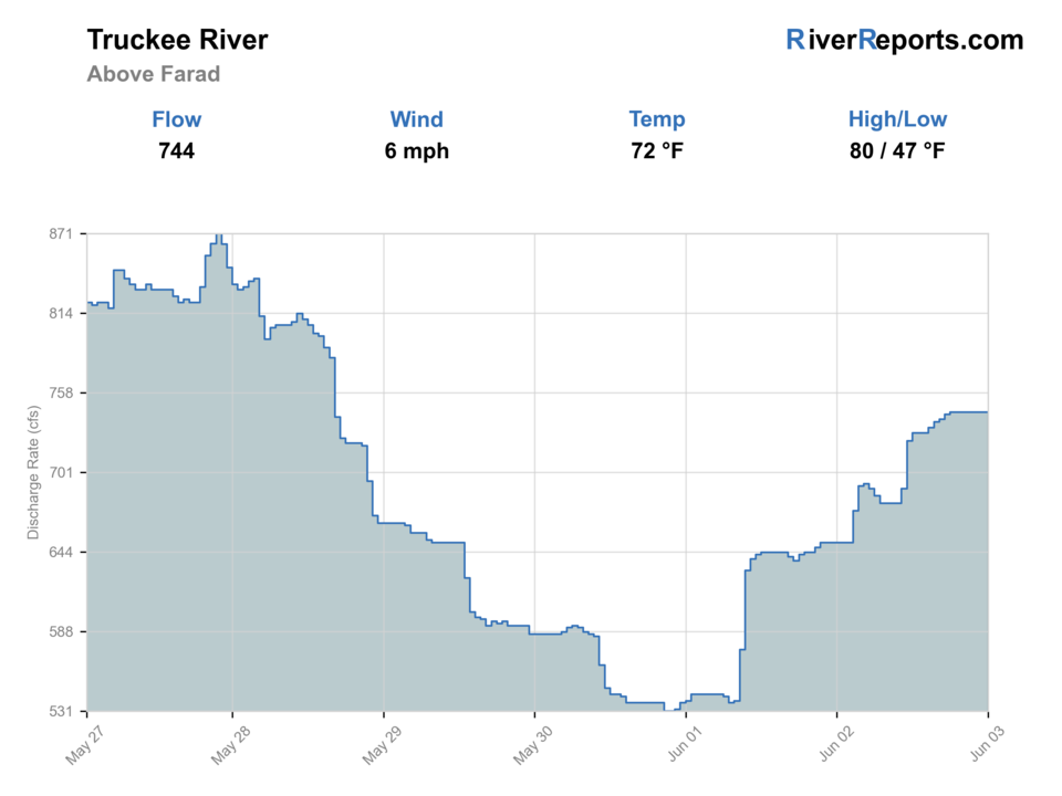
Showing the available RiverReports chart while the current structured flow series loads. Check the chart on RiverReports Opens in a new tab.
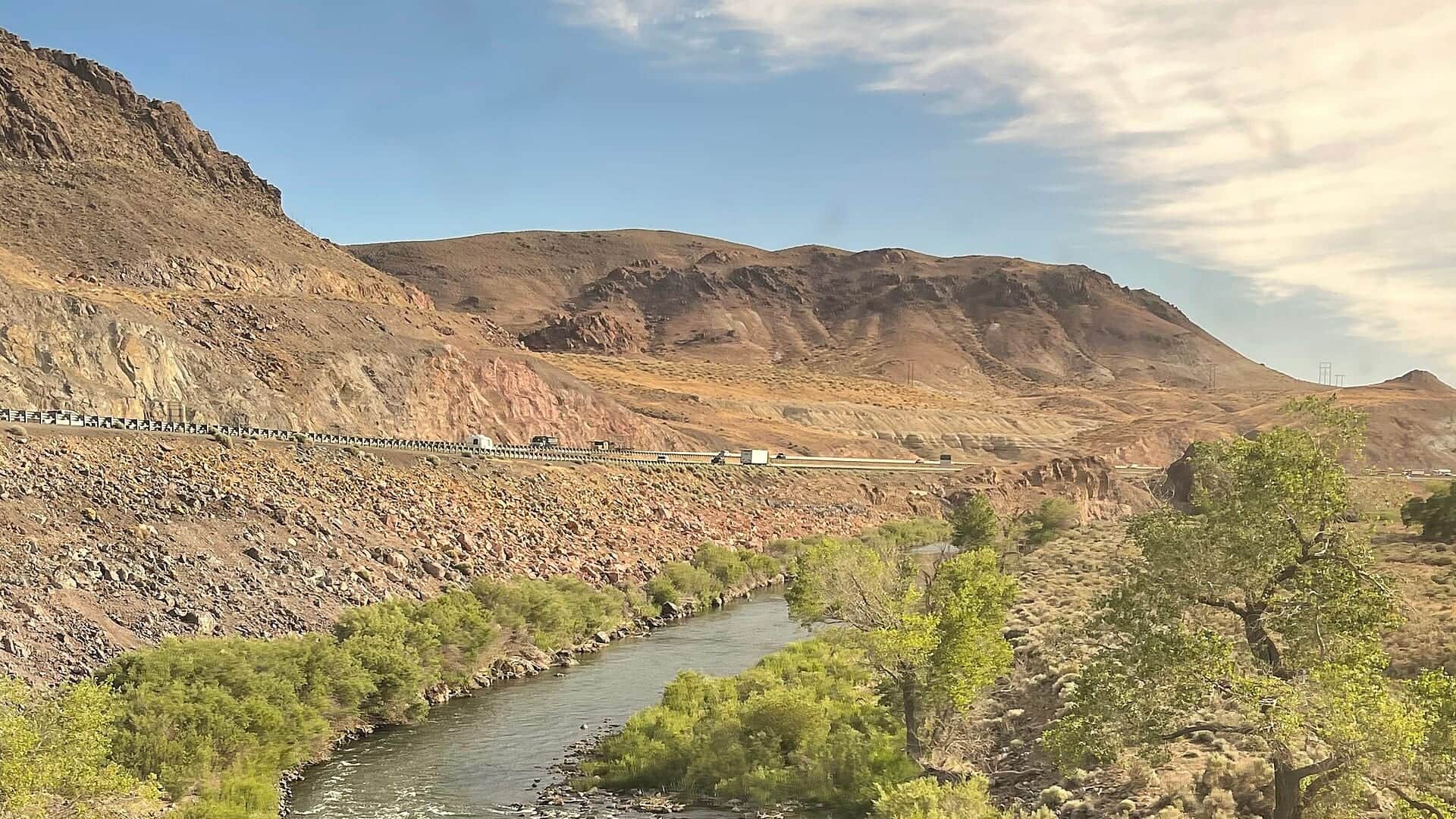
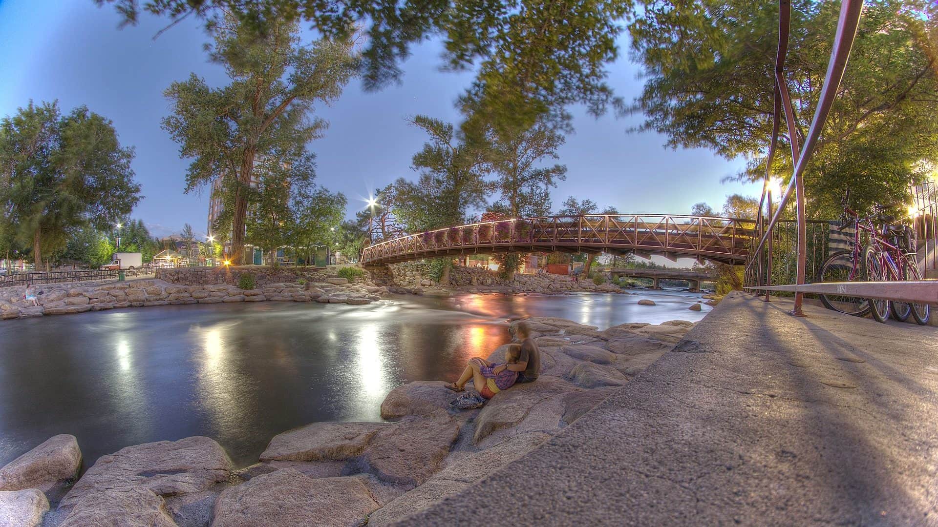
Photo: Missvain Opens in a new tab. · CC BY 4.0
No single best way to fish. Wading and Floating have the same top score. Use current access, footing, weather, and local rules to choose.
Rating updatedRiver local time:
The forecast has storm or heavy-precipitation risk, so timing and access matter more than the score alone.
NWS air forecast near
RiverReports gauge
Showing the available RiverReports chart while the current structured flow series loads. Check the chart on RiverReports Opens in a new tab.
Showers And Thunderstorms Likely
The National Weather Service forecast is temporarily unavailable.
RiverReports gauge: Truckee River at Farad
Seasonal starting points, not a live hatch report. Match what you see on the water.
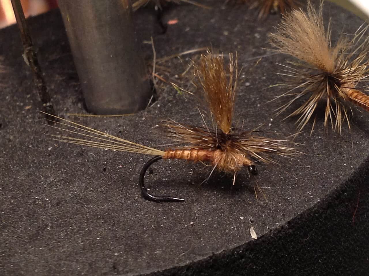
Also try hopper-dropper
Also try October caddis
Each fly name opens its matching Fly Box guide.
The California Truckee fishes best when flow, temperature, and clarity line up. It is a technical river, so start with a gauge and weather check, then choose nymphs, dries, streamers, or dry-droppers based on the reach in front of you.
Use long leaders, small nymphs, careful approaches, and avoid overplaying trout.
Good for nymphs, dry-droppers, streamers, and covering pocket water.
Avoid risky wading and focus on edges only if clarity and access are safe.
Gauge data can be affected by ice in winter, and warm water can make summer trout handling risky.
Wading and Floating have the same top score. Use current access, footing, weather, and local rules to choose.
Wading is in play only where your chosen access has clear footing, legal entry, and no forced crossings.
This report does not recommend bank fishing on this reach.
A float is in play where this report supports boat access and wind, releases, and shuttle logistics are manageable.
Is Truckee River worth the trip today? Check flow, weather, hatches, access, and rules for California before you go.
This Truckee report is scoped to the California main river from Tahoe City and Truckee toward the Nevada line. Use the separate Reno page for downtown Nevada water.
The forecast has storm or heavy-precipitation risk, so timing and access matter more than the score alone.
USGS shows 421 cfs. The flow has been stable over about 6 hours. USGS marks this reading provisional and may revise it. USGS records for this date (1910-2026, 117 readings) show a typical middle range of 316 cfs to 456 cfs. Flow is within the typical range for this date, so weather, temperature, and access become the next checks.
Fall: Cooler weather, BWOs, streamers, and lower crowds often improve the plan.
USGS water temperature is about 51.1F, and the rolling 24-hour high did not trigger a heat caution. USGS marks the temperature data provisional and may revise it.
No active NWS alert was returned for this forecast point.
Use the Farad trend as the planning anchor. Stable or slowly easing flows are the best fit for reading banks, seams, and pocket transitions. Sharp storm or runoff rises should push the plan toward safer edges or another river.
Skip the California main river when flows are rising hard, when summer water temperatures make trout handling questionable, when access roads or forest sites are closed, or when the day you want is really the separate Nevada-side Reno report.
Pick the reach before the fly box: use the Truckee River Wildlife Area or Glenshire-area access when you want a clear public framework, then fish one section carefully instead of trying to sample the whole area in a single morning.
If the California Truckee is too high, too warm, or too crowded, pivot to the Little Truckee for a more technical tailwater-style day or to the Reno Truckee page when your trip is actually downstream in Nevada.
Use these places as starting points. Open the access link below and check posted signs before you park or enter.
Verify CDFW's current Truckee River rules for the California main river and separate smaller streams before fishing. Nevada-side rules are different and belong with the Reno report.
CDFW identifies Boca, Canyon, Polaris, and Union Ice units, with access difficulty varying by unit.
A Tahoe National Forest river-access planning point near Truckee.
Important flow and reach markers as the river approaches the Nevada line.
Upper main river planning differs from downstream Truckee and Farad conditions.
Official agencies and primary river operators come first. Secondary tools are labeled so you know what carries the most weight.
Check what is allowed, where the rule applies, and whether the river is open.
Check the latest river reading and forecast before you leave.
Check public entry points, land rules, and seasonal access changes.
Check what is allowed, where the rule applies, and whether the river is open.
Open the current rules and check the river section, season, and special limits.
Check the latest river reading and forecast before you leave.
Open this page and check the latest safety advice before your trip.
Open this river reading to check the latest level, flow, and update time.
Open this river reading to check the latest level, flow, and update time.
Check public entry points, land rules, and seasonal access changes.
Open the land or access page, then check signs before you park or enter.
Open the land or access page, then check signs before you park or enter.
Open the land or access page, then check signs before you park or enter.
What was checked: This Truckee River report is maintained from current California regulation, public-access, flow, weather, and forest-source checks so anglers can plan the California mainstem without mixing it into the separate Reno reach.
Live measurements and forecasts keep their provider timestamps. Rules, access, and trip guidance use the source-review date shown here. BlueStreamFly planning advice is editorial interpretation, not an agency notice.
First-hand experience: BlueStreamFly does not claim a first-hand visit or local field test for this report unless a real contributor is explicitly named and linked.
No. This page covers the California main river. Use the Reno page for Nevada rules, access, and gauges.
Use the RiverReports Farad chart and USGS 10346000 for near-state-line context, plus Truckee-area gauges for upper reaches.
It can be difficult. Fast water, clear conditions, private boundaries, and technical trout make it better for prepared anglers.
Avoid unsafe runoff, winter ice hazards, and warm summer water that stresses trout.