Live flow is not available
No machine-readable live streamflow feed is attached for this reach. Use the linked flow source manually with weather, clarity, access, and recent rain before committing.
We could not confirm a live gauge for this river. Check the weather, recent rain, local reports, and the water before you fish.
Check first: Live information is incomplete. Treat this score as a planning estimate.
Rating updatedRiver local time:
No verified live public gauge is attached, so the page cannot make a strong real-time call.
NWS air forecast near
This is an air forecast, not a river-temperature reading. Check the water with a stream thermometer before fishing in hot weather.
No machine-readable live streamflow feed is attached for this reach. Use the linked flow source manually with weather, clarity, access, and recent rain before committing.
Light Rain
The National Weather Service forecast is temporarily unavailable.
Official flow source: Feather River at Oroville
No machine-readable live streamflow feed is attached for this reach. Use the linked flow source manually with weather, clarity, access, and recent rain before committing.
Seasonal starting points, not a live hatch report. Match what you see on the water.
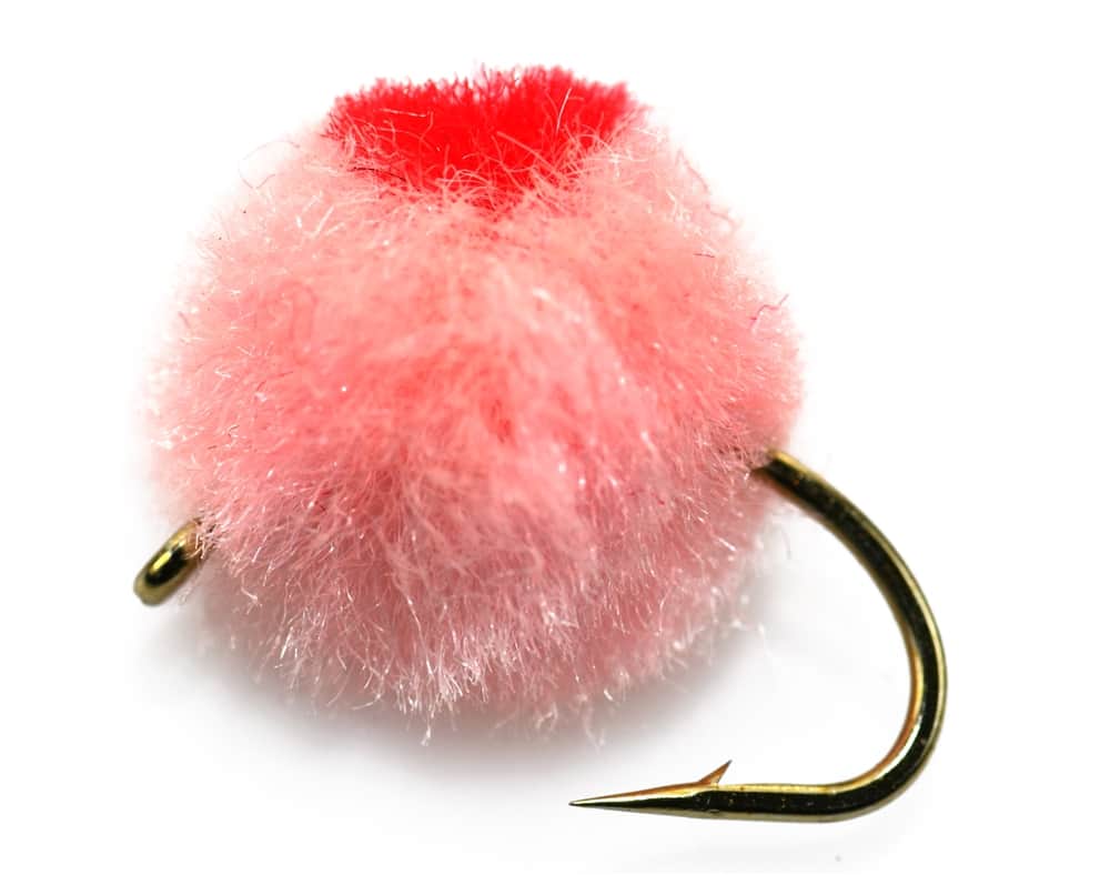
Also try Shad fly, crayfish pattern
Each fly name opens its matching Fly Box guide.
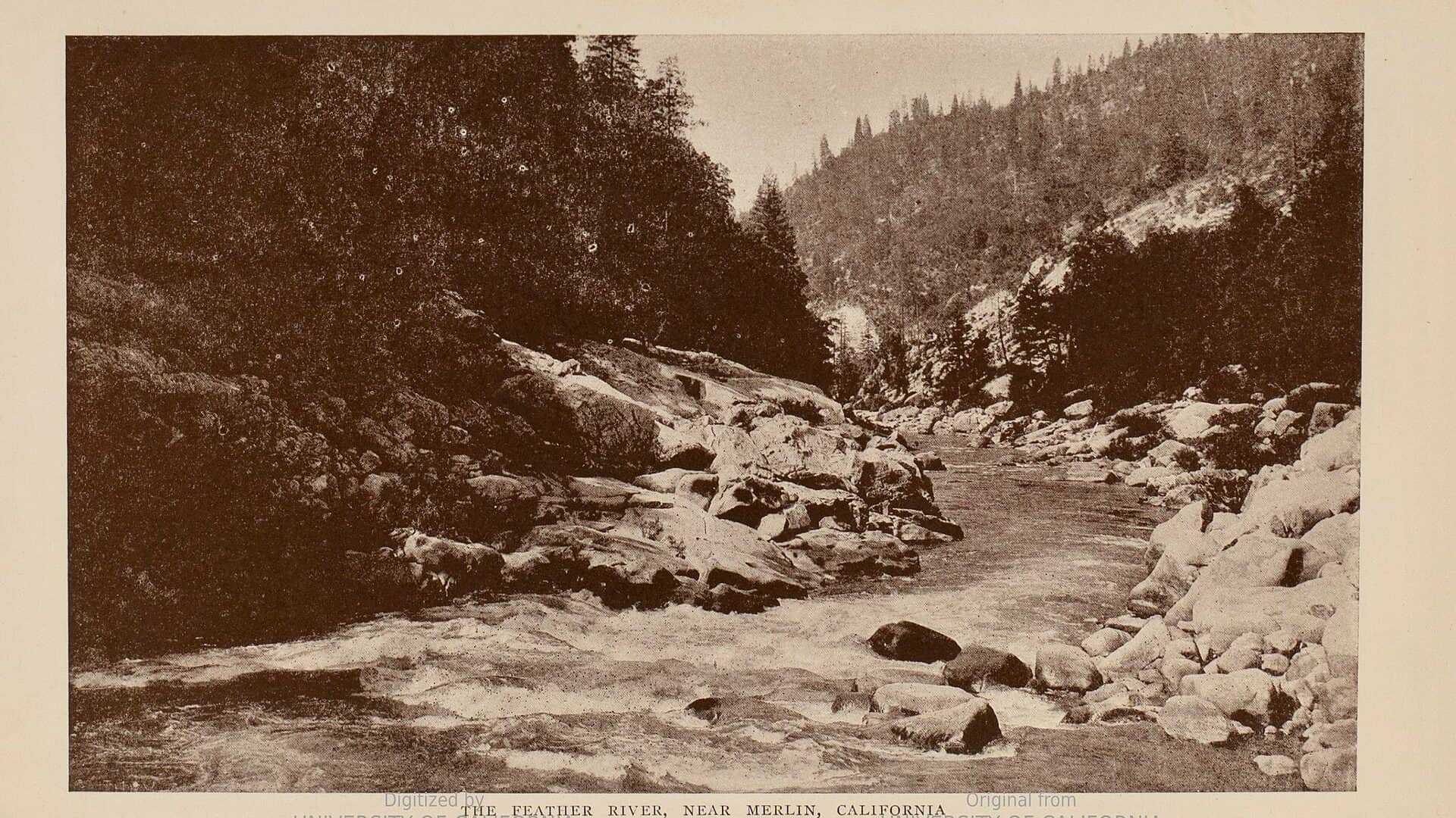
This page is scoped to the lower Feather around Oroville because a generic Feather River report can easily become inaccurate. Salmon and steelhead rules change, so current official sources are more important than old fishing-report copy.
Look for legal riffles, swing water, shad lanes, and wadeable edges with careful boundary checks.
Focus on bank safety, boat plans, side channels, and avoiding unsafe crossings.
Fishing ethics and rules become more sensitive. Verify the current year rules and avoid snagging behavior.
Shad, stripers, and lower-river tactics may be more practical than trout or steelhead-style fishing.
We could not confirm all current conditions. Check locally before choosing how to fish.
Current conditions at the exact access are not verified. No access method is recommended until they are checked.
Current conditions at the exact access are not verified. No access method is recommended until they are checked.
Current conditions at the exact access are not verified. No access method is recommended until they are checked.
Is Feather River worth the trip today? Check flow, weather, hatches, access, and rules for California before you go.
The Feather River has lower-river hatchery, salmon, steelhead, shad, and wildlife-area planning in one area. The useful plan starts by choosing the exact reach and checking current CDFW rules.
No verified live public gauge is attached, so the page cannot make a strong real-time call.
The forecast has storm or heavy-precipitation risk, so timing and access matter more than the score alone.
Fall: Salmon and steelhead context is rule-sensitive.
The current NWS air forecast is about 60F, and the next 24-hour high reaches about 71F. Light Rain.
No active NWS alert was returned for this forecast point.
Use the Oroville gauge as lower-river trend context, not as permission by itself. The better fly-fishing windows are the ones where releases are steady enough to let you fish edges and travel lanes safely. If release changes or local conditions make the river pushy, shift to bank-oriented water or skip it.
Skip the trip when you cannot identify the exact legal reach, when hatchery-boundary or salmon-season rules are unclear, when releases make edge access unsafe, or when the day you really want is a small-stream trout trip rather than a big lower-river plan.
Build the day around one lower-river objective: shad lanes, steelhead-style riffles, or lower-river striper structure. Start near the Oroville wildlife-area and hatchery area only after confirming the current rule boundary, then decide whether you are making a short wade plan or a longer downstream coverage day.
If lower Feather flows, closures, or crowding are wrong, pivot to the Lower Yuba for a more trout-focused tailwater day or to the American for another Central Valley river where urban access may fit the plan better.
Use these places as starting points. Open the access link below and check posted signs before you park or enter.
Verify CDFW's current lower Feather River rules before fishing. Reach boundaries around Fish Barrier Dam, Table Mountain bicycle bridge, hatchery areas, salmon rules, trout/steelhead rules, and annual updates can materially change the plan.
This is the critical legal-or-closed area to verify before fishing the Oroville reach.
CDFW-managed access and habitat context for lower-river planning.
Useful access context for the lower river, after checking current area rules and conditions.
Different from this lower-river page. Check Forest Service access, road, fire, and CDFW wild-trout rules separately.
Official agencies and primary river operators come first. Secondary tools are labeled so you know what carries the most weight.
Check what is allowed, where the rule applies, and whether the river is open.
Check the latest river reading and forecast before you leave.
Check public entry points, land rules, and seasonal access changes.
Use these links for stocking, safety, and other local details.
Check what is allowed, where the rule applies, and whether the river is open.
Open the current rules and check the river section, season, and special limits.
Open the current rules and check the river section, season, and special limits.
Check the latest river reading and forecast before you leave.
Open this river reading to check the latest level, flow, and update time.
Open this page and check the latest safety advice before your trip.
Open this river reading to check the latest level, flow, and update time.
Check public entry points, land rules, and seasonal access changes.
Open the land or access page, then check signs before you park or enter.
Use these links for stocking, safety, and other local details.
Open this page for more river information and check when it was last updated.
Open this page and check the latest safety advice before your trip.
What was checked: This report is maintained from current regulation, access, flow, weather, and public planning sources so anglers can make better trip decisions than a raw gauge or generic overview would allow.
Live measurements and forecasts keep their provider timestamps. Rules, access, and trip guidance use the source-review date shown here. BlueStreamFly planning advice is editorial interpretation, not an agency notice.
First-hand experience: BlueStreamFly does not claim a first-hand visit or local field test for this report unless a real contributor is explicitly named and linked.
It focuses on the lower Feather around Oroville. The North Fork and Middle Fork need separate access and rule checks.
Only where current CDFW rules and posted boundaries allow it. Some hatchery-adjacent reaches are closed.
Bring steelhead nymphs and swing flies, shad flies, caddis and mayfly patterns, eggs, and striper streamers.
This page links current CDFW sources, but salmon rules can change annually or in-season. Confirm before fishing.
Not for an automated live score. This page links the best available flow source where one exists, but the fishability answer stays conservative until a current readable gauge is available for the exact reach. Check the linked source, weather, clarity, access, and recent rain before going.