7-day U.S. Geological Survey chart
Recent flow
Discharge
1,820 cfs1,120 cfs
Oct 15Oct 22
Latest reading: 1,160 cfs. Falling over about 6 hours. Chart covers Oct 15 through Oct 22; readings are provisional and may be revised.
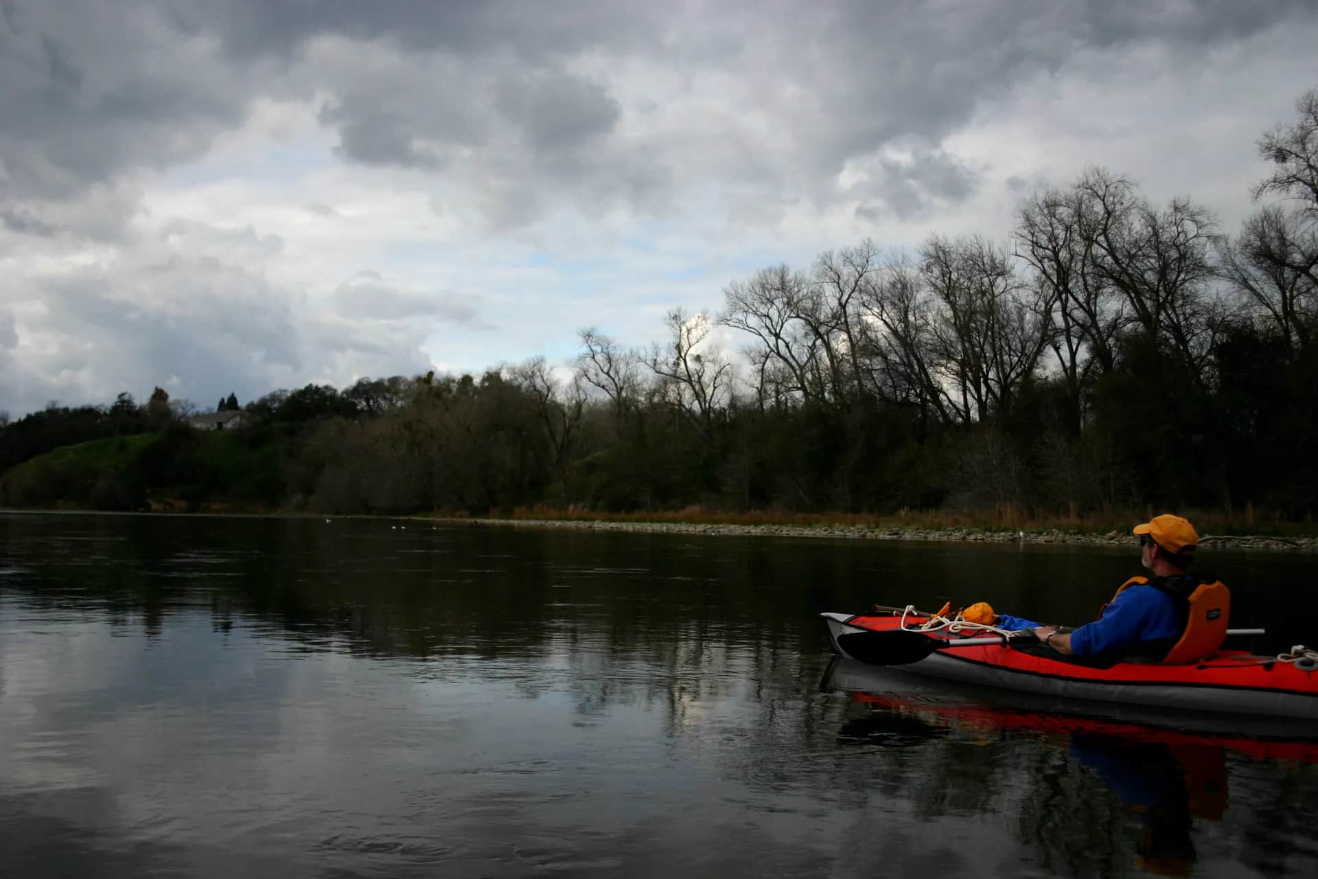
Photo: Dan Cox / Pacific Southwest Region USFWS Opens in a new tab. · CC BY 2.0 (U.S. Fish and Wildlife Service public-domain work)
No single best way to fish. Wading, Bank fishing, and Floating have the same top score. Use current access, footing, weather, and local rules to choose.
Rating updatedRiver local time:
USGS shows 1,130 cfs. The flow has been stable over about 6 hours. USGS marks this reading provisional and may revise it. USGS records for this date (1956-2026, 71 readings) show a median near 1,620 cfs and the lower quartile near 1,230 cfs; today's flow is below normal for the date. This is below normal, so edge depth, temperature, and pressure matter.
NWS air forecast near
Discharge
Latest reading: 1,160 cfs. Falling over about 6 hours. Chart covers Oct 15 through Oct 22; readings are provisional and may be revised.
Light Rain Likely
The National Weather Service forecast is temporarily unavailable.
Current U.S. Geological Survey gauge: American River at Fair Oaks
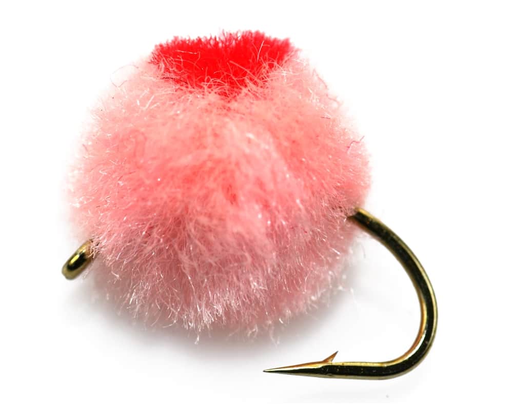
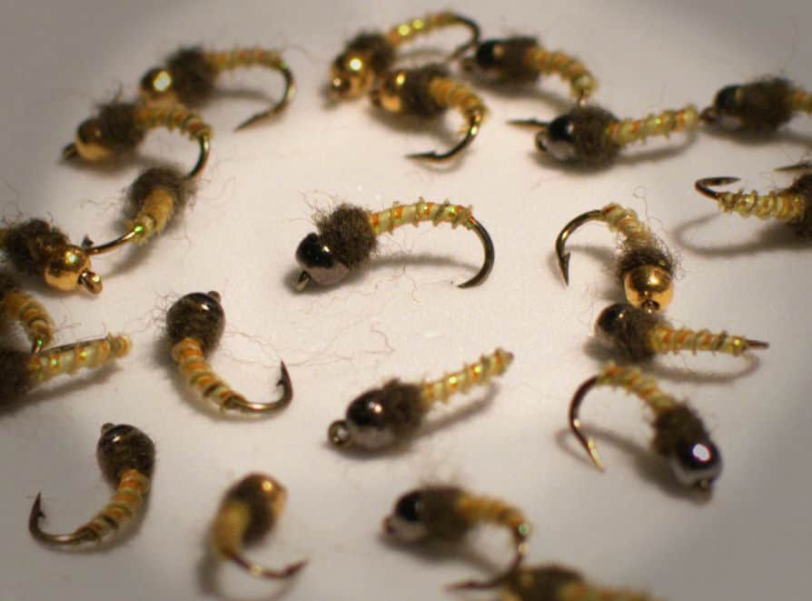
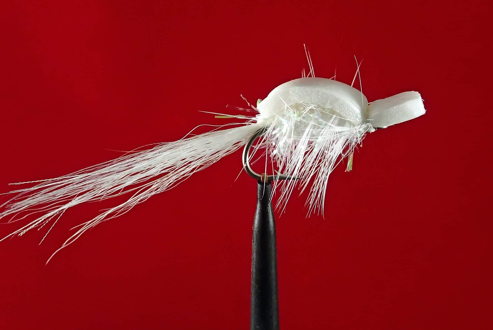
Seasonal starting points, not a live hatch report. Match what you see on the water.
Each fly name opens its matching Fly Box guide.
This page covers the Lower American River from Nimbus Dam through the Sacramento parkway to the mouth. Start with the exact 2026 reach rule, then choose a safe bank, wade, or float plan from live flow, water temperature, and dated access evidence.
Bank fishing, careful edge wading, and verified float plans can all fit when the selected reach is legal and the launch and takeout are open.
Skip casual wading and crossings. Experienced boat or bank anglers still need a confirmed launch, takeout, PFD, legal reach, and retreat plan.
Treat the reading as Watch for salmonids. CDFW identifies prolonged mean-daily temperatures at or above 65°F as a Lower American steelhead concern. Do not turn a mixed-species score into trout or steelhead approval.
Stripers can remain a reasonable legal target when salmonids need a rest. Confirm species rules and avoid implying that warm water helps every fish on the page.
Wading, Bank fishing, and Floating have the same top score. Use current access, footing, weather, and local rules to choose.
Wading is in play only where your chosen access has clear footing, legal entry, and no forced crossings.
Bank and edge fishing remains a practical low-commitment option if access is legal and footing is safe.
A float is in play where this report supports boat access and wind, releases, and shuttle logistics are manageable.
Is the Lower American River worth fishing today? Check Fair Oaks flow and water temperature, the exact 2026 rules, current park access, and the late-summer target before you go.
For late summer, experienced bank or boat anglers can consider stripers or an open Chinook reach after verifying the live Fair Oaks flow, water temperature, and park status. Casual wading is a poor fit at high releases, and a mixed-fishery score is not a green light for trout or steelhead when water is around 65°F or warmer.
USGS shows 1,130 cfs. The flow has been stable over about 6 hours. USGS marks this reading provisional and may revise it. USGS records for this date (1956-2026, 71 readings) show a median near 1,620 cfs and the lower quartile near 1,230 cfs; today's flow is below normal for the date. This is below normal, so edge depth, temperature, and pressure matter.
The forecast has storm or heavy-precipitation risk, so timing and access matter more than the score alone.
Wade: Wading is in play only where your chosen access has clear footing, legal entry, and no forced crossings.
Fall: Chinook closing dates differ by reach: October 31 above the Ancil Hoffman boundary, December 31 to Jibboom Street, and December 16 below Jibboom in the 2026 booklet.
USGS water temperature is about 60.3F, and the rolling 24-hour high did not trigger a heat caution. USGS marks the temperature data provisional and may revise it.
Use the live USGS 11446500 Fair Oaks trend as the anchor. Stable, manageable releases create the broadest options. High or rising water should move the plan away from casual wading and toward a verified bank or experienced float plan.
Skip the chosen method when the reach rule is unclear, a park or launch is closed, releases defeat a safe exit, or an official alert is active. At about 65°F or warmer, stop treating the page as approval to pressure trout or steelhead. Legal striper fishing can remain a separate decision.
Choose among the four 2026 CDFW reaches before leaving the car. In late summer, start with lower-river striper structure or a legal Chinook reach, then match bank, wade, or float access to the dated county status and live Fair Oaks conditions.
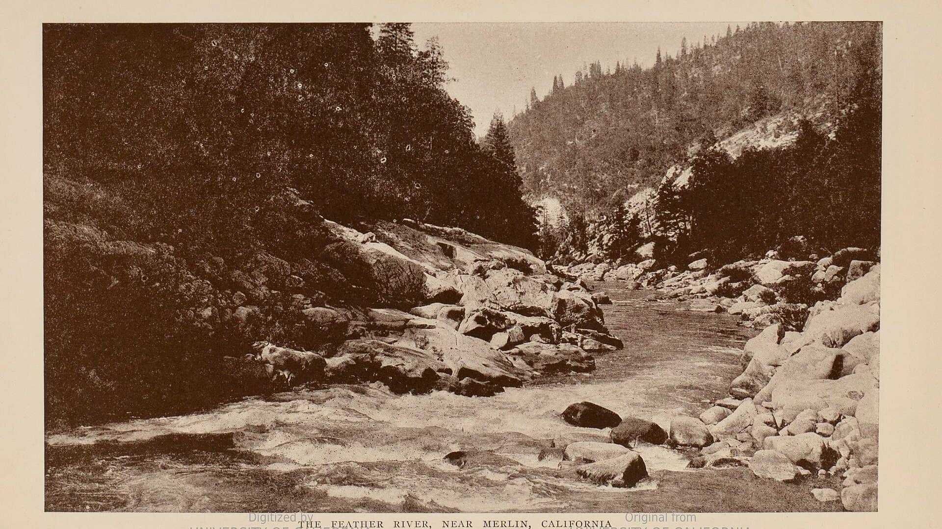
If the Lower American is too high, too warm for salmonids, closed, or crowded, compare the Feather River for another anadromous plan or the North Fork American for a separate Sierra foothill trout decision.
Use these places as starting points. Open the access link below and check posted signs before you park or enter.
The 2026 Lower American rules vary by reach: Nimbus Dam to the USGS cable is closed all year. Chinook dates differ above and below the Ancil Hoffman and Jibboom boundaries. All wild trout and steelhead must be released unharmed. Anyone fishing for steelhead must carry a valid Steelhead Report and Restoration Card, including anglers otherwise exempt from a sport-fishing license. Read the official booklet and in-season updates for complete legal language.
| River section and season | Fishing rules |
|---|---|
| Nimbus Dam to the USGS cable below the fish rack | Closed to all fishing all year. CDFW describes the downstream boundary as the USGS gauging-station cable about 300 yards below the Nimbus Hatchery fish rack. Official rule |
| USGS cable to the SMUD power line at southwest Ancil Hoffman | Open January 1 through October 31 with barbless hooks. Chinook is open July 16 through October 31 with a two-fish daily and four-fish possession limit under the 2026 rule. Official rule |
| SMUD power line to Jibboom Street Bridge | Hatchery trout and steelhead are open all year. Chinook is open July 16 through December 31 with a two-fish daily and four-fish possession limit under the 2026 rule. Official rule |
| Jibboom Street Bridge to the mouth | Hatchery trout and steelhead are open all year. Chinook is open July 16 through December 16 with a two-fish daily and four-fish possession limit under the 2026 rule. Official rule |
Sacramento County listed Sunrise Recreation Area open on August 18, 2026. Upper Sunrise has a small-boat launch and Lower Sunrise is a common summer raft put-in. Recheck the live park-status page before using either.
Site detailsSacramento County listed Watt Avenue open on August 18, 2026. Its small ramp is used for launching and takeout, but high releases can still make the current unsuitable for casual boating or wading.
Site detailsBoth were listed open on August 18, 2026. River Bend is a common raft takeout, while Discovery has boat and car-top launching near the Sacramento River confluence. The status page noted facility limitations at both parks.
Site detailsAncil Hoffman Park was listed open on August 18, 2026, but the SMUD power line at the park's southwest boundary separates two 2026 rule reaches. Locate the boundary before fishing.
Site detailsAmbassador Access, SARA Access, Sarah Court, and Waterton Access were listed closed by Sacramento County on August 18, 2026. Do not use this dated snapshot as proof of a future closure or reopening. Open the current status page.
Site detailsOfficial agencies and primary river operators come first. Secondary tools are labeled so you know what carries the most weight.
Check what is allowed, where the rule applies, and whether the river is open.
Check the latest river reading and forecast before you leave.
Check public entry points, land rules, and seasonal access changes.
Use these links for stocking, safety, and other local details.
Check what is allowed, where the rule applies, and whether the river is open.
Open the current rules and check the river section, season, and special limits.
Open the current rules and check the river section, season, and special limits.
Open the current rules and check the river section, season, and special limits.
Open the current rules and check the river section, season, and special limits.
Check the latest river reading and forecast before you leave.
Open this page and check the latest safety advice before your trip.
Open this river reading to check the latest level, flow, and update time.
Check public entry points, land rules, and seasonal access changes.
Open the land or access page, then check signs before you park or enter.
Open the land or access page, then check signs before you park or enter.
Open the land or access page, then check signs before you park or enter.
Use these links for stocking, safety, and other local details.
Open this page for more river information and check when it was last updated.
Open this page for more river information and check when it was last updated.
What was checked: This review uses official regulation, access, flow, temperature, weather, and public-river sources. BlueStreamFly does not claim a field visit, local field test, or first-hand conditions report for this update.
Live measurements and forecasts keep their provider timestamps. Rules, access, and trip guidance use the source-review date shown here. BlueStreamFly planning advice is editorial interpretation, not an agency notice.
First-hand experience: BlueStreamFly does not claim a first-hand visit or local field test for this report unless a real contributor is explicitly named and linked.
It covers the Lower American River from Nimbus Dam through the Sacramento parkway to the mouth, not the South Fork at Coloma or the North Fork American River.
Stripers are the clearest fly target around baitfish and lower-river structure. Chinook can be targeted only in a reach and date open under the 2026 rules. American shad are usually past their main April-to-early-July run by mid-August.
No. The water from Nimbus Dam to the USGS gauging-station cable about 300 yards below the fish rack is closed to all fishing all year.
Sacramento County identifies launches at Upper Sunrise, Watt Avenue, and Discovery Park, with River Bend commonly used as a takeout. Recheck the live park-status page and current flow before committing to any float.
Treat about 65°F or warmer as a Watch signal for Lower American salmonids. CDFW identifies prolonged mean-daily temperatures at or above 65°F as a steelhead concern, so do not use a favorable striper or mixed-fishery score as permission to pressure trout or steelhead.
Yes when fishing for steelhead or rainbow trout in anadromous water. CDFW says the card is required even for anglers who do not otherwise need a sport-fishing license, and all wild steelhead must be released unharmed.
On August 18, 2026, Sacramento County listed Sunrise Recreation Area, Watt Avenue, Ancil Hoffman, River Bend, and Discovery open. Ambassador, SARA, Sarah Court, and Waterton were listed closed. This is a dated snapshot, so recheck the current status page.