Live flow is not available
No verified live gauge is used for this small special-regulation reach. Check recent rain, clarity, and water temperature before fishing.
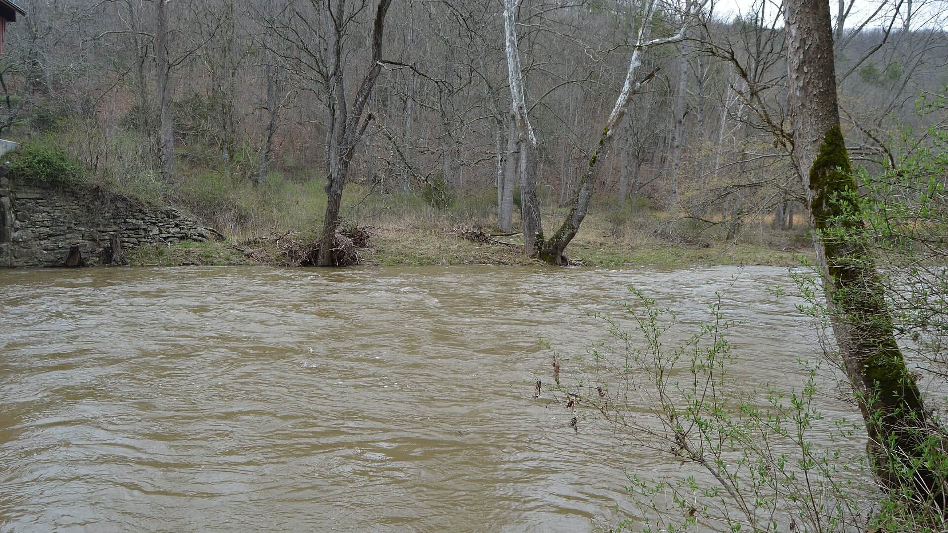
We could not confirm a live gauge for this river. Check the weather, recent rain, local reports, and the water before you fish.
Check first: Live information is incomplete. Treat this score as a planning estimate.
Rating updatedRiver local time:
No verified live public gauge is attached, so the page cannot make a strong real-time call.
NWS air forecast near
This is an air forecast, not a river-temperature reading. Check the water with a stream thermometer before fishing in hot weather.
No verified live gauge is used for this small special-regulation reach. Check recent rain, clarity, and water temperature before fishing.
Clear
The National Weather Service forecast is temporarily unavailable.
Report reach: Second Creek near Rodgers Mill
No verified live gauge is used for this small special-regulation reach. Check recent rain, clarity, and water temperature before fishing.
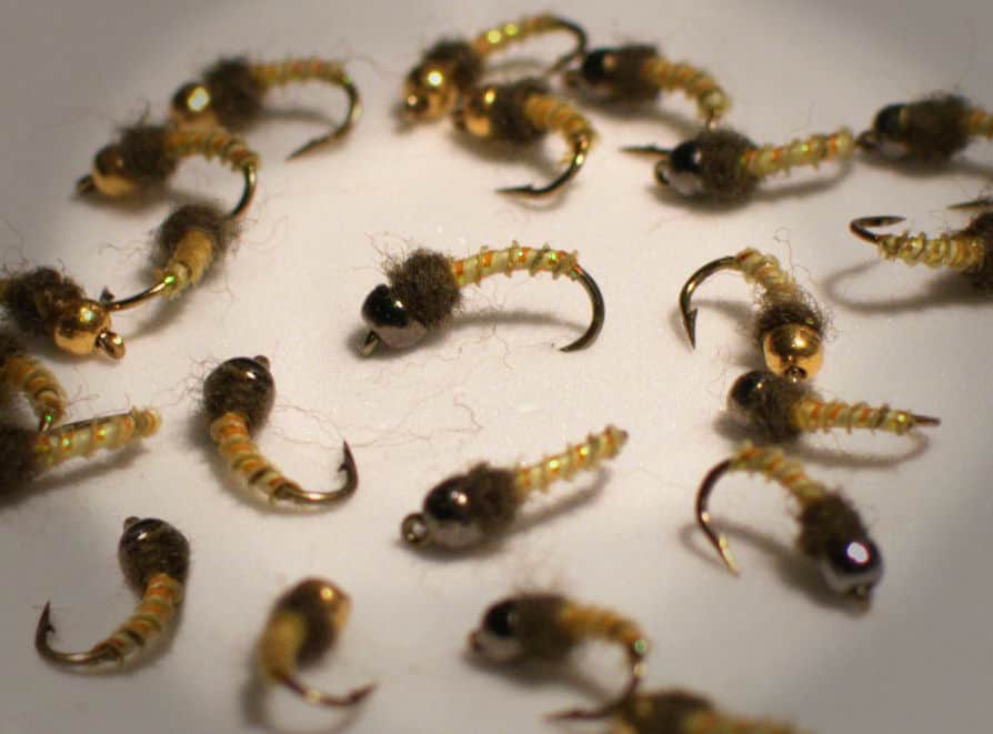
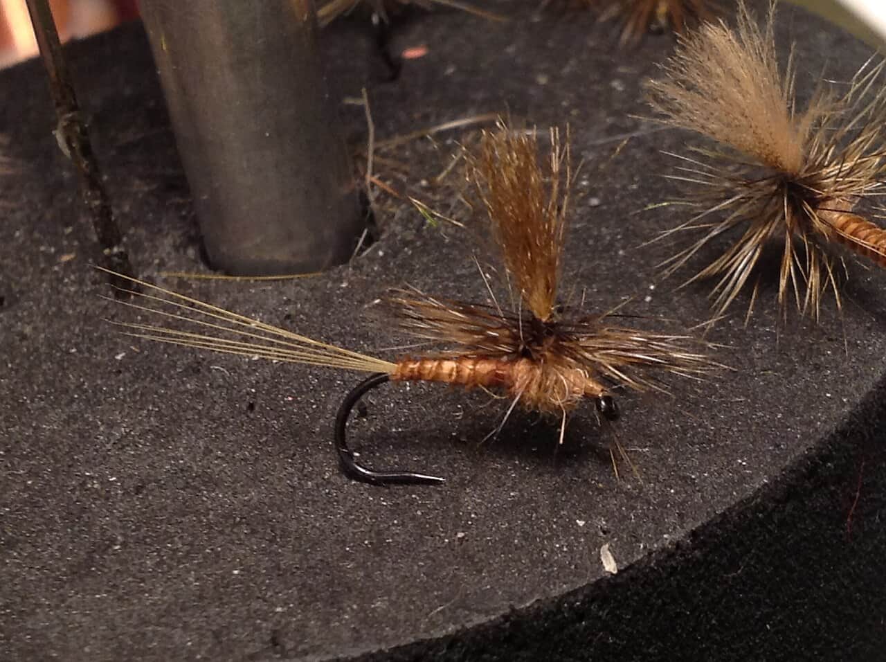
Seasonal starting points, not a live hatch report. Match what you see on the water.
Each fly name opens its matching Fly Box guide.
Best windows are cool spring days, light rain bumps that clear quickly, and shaded fall sessions. Hot afternoons or muddy runoff are better used for scouting access than fishing.
Use long leaders, small dries, and careful approaches from downstream.
Nymph seams, plunge pools, and undercut banks before the creek gets too dirty.
Skip it. Small creeks become unfishable and unsafe quickly.
Check temperature before handling trout and move to another plan if water is stressful.
We could not confirm all current conditions. Check locally before choosing how to fish.
Current conditions at the exact access are not verified. No access method is recommended until they are checked.
Current conditions at the exact access are not verified. No access method is recommended until they are checked.
Current conditions at the exact access are not verified. No access method is recommended until they are checked.
Is Second Creek worth the trip today? Check flow, weather, hatches, access, and rules for West Virginia before you go.
Second Creek is most useful as a focused Rodgers Mill trout plan. There is no verified current public live gauge for the reach, so start with WVDNR rules, then judge recent rain, clarity, and summer water temperature before fishing.
No verified live public gauge is attached, so the page cannot make a strong real-time call.
Fall: Good for small streamers, terrestrials, and quiet pools after rain.
The current NWS air forecast is about 39F, and the next 24-hour high reaches about 65F. Clear.
No active NWS alert was returned for this forecast point.
Skip or change the trip when rain has the creek rising or muddy, special-regulation boundaries are unclear, banks or parking are posted, summer water is warm, or the only plan crowds a short pool.
No verified live public gauge is used for the Rodgers Mill reach. Use recent rain, water clarity, the historical USGS station only as background, and an on-site temperature check before fishing.
Skip or change the trip when rain has the creek rising or muddy, special fishing rule boundaries are unclear, banks or parking are posted, summer water is warm, or the only plan crowds a short pool.
Start with WVDNR rules, stocking context, and the trout map, then choose one Rodgers Mill-area plan with a thermometer, low-profile approach, and a larger backup river ready.
If Second Creek is muddy, warm, crowded, or access-limited, compare Greenbrier River West Fork, Elk River, or Seneca Creek before forcing the same plan.
Use these places as starting points. Open the access link below and check posted signs before you park or enter.
Check current WVDNR fishing rules for the Second Creek fly-fishing-only area before fishing. The managed reach, methods, harvest rules, and possession rules are legal details, not suggestions.
Core fly-fishing-only planning area. Verify current boundaries in WVDNR rules.
Use local roads and posted access carefully. Do not assume open banks.
Use the official map for stocking and managed-water context before driving.
Official agencies and primary river operators come first. Secondary tools are labeled so you know what carries the most weight.
Check what is allowed, where the rule applies, and whether the river is open.
Check the latest river reading and forecast before you leave.
Check public entry points, land rules, and seasonal access changes.
Check what is allowed, where the rule applies, and whether the river is open.
Open the current rules and check the river section, season, and special limits.
Open the current rules and check the river section, season, and special limits.
Check the latest river reading and forecast before you leave.
Open this page and check the latest safety advice before your trip.
Open this page for more river information and check when it was last updated.
Check public entry points, land rules, and seasonal access changes.
Open the land or access page, then check signs before you park or enter.
Open the land or access page, then check signs before you park or enter.
What was checked: This report is maintained from current regulation, access, flow, weather, and public planning sources so anglers can make better trip decisions than a raw gauge or generic overview would allow.
Live measurements and forecasts keep their provider timestamps. Rules, access, and trip guidance use the source-review date shown here. BlueStreamFly planning advice is editorial interpretation, not an agency notice.
First-hand experience: BlueStreamFly does not claim a first-hand visit or local field test for this report unless a real contributor is explicitly named and linked.
WVDNR rules, stocking updates, special fishing rule boundaries, recent rain, and water temperature
Use no live flow widget for this page. Check recent rain, clarity, and water temperature because the old Second Creek station is not a current public fishing gauge.
Start with the Rodgers Mill special fishing rule reach and confirm parking, posted land, and the exact managed-water boundary.
Usually yes in normal flows, but stay out during muddy rises and avoid stepping through the best holding water.