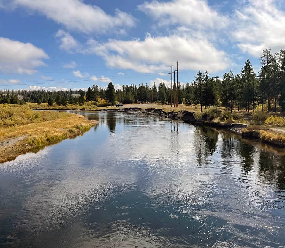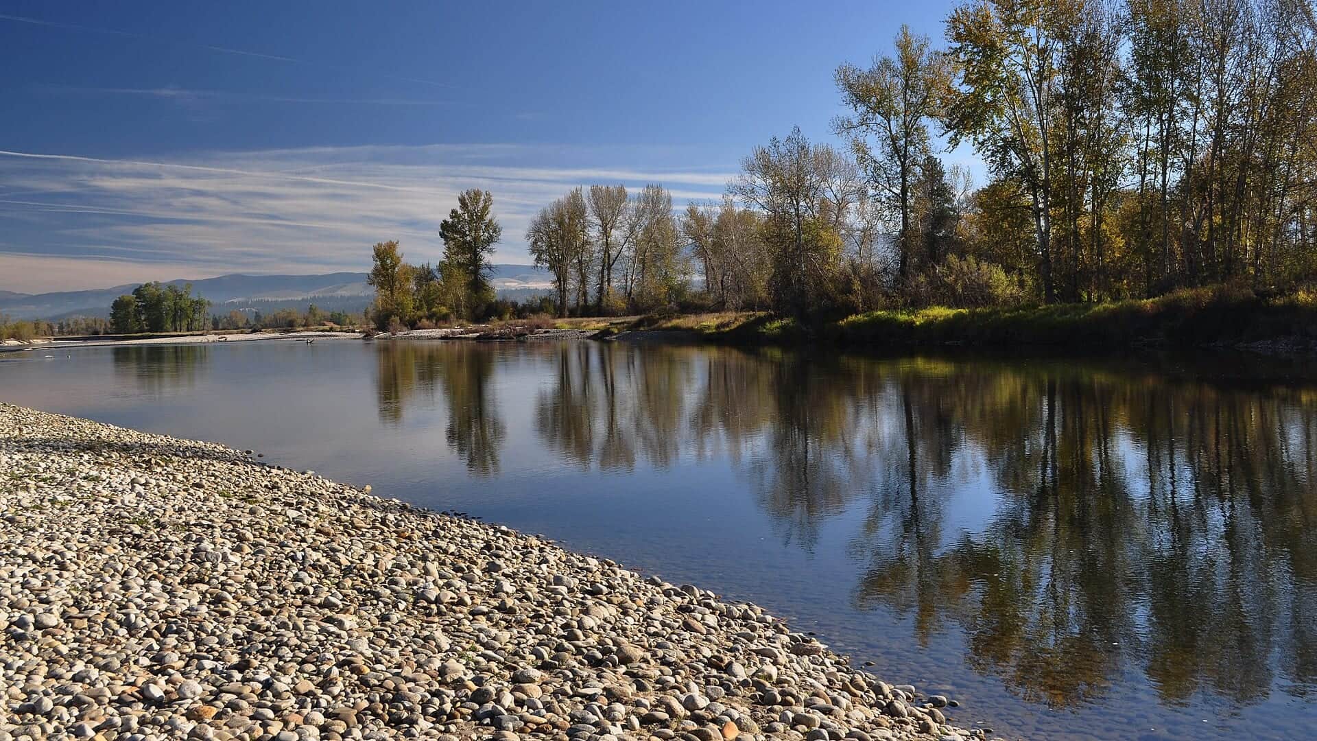
Bitterroot River near Victor Montana
All Montana reports

Fly fishing report · West

Bitterroot River

Is Bitterroot River worth the trip today? Check flow, weather, hatches, access, and rules for Montana before you go.

See the flow chart ↓

Photo: Forest Service Northern Region from Missoula, MT, USA Opens in a new tab. · Public domain

Good day to fish?Check needed
Verify

Check the official notice before fishing.

Hoot-owl fishing restriction on the Bitterroot River covers East and West Fork confluence downstream to the Clark Fork River confluence. The notice needs a new check with the agency. Fishing tips stay hidden until you check it.

Checked just nowRead the notice below
Check neededWait before fishing

Hoot-owl fishing restriction on the Bitterroot River covers East and West Fork confluence downstream to the Clark Fork River confluence. The notice needs a new check with the agency. Fishing tips stay hidden until you check it.

What to doOpen the notice

Check the exact reach, date, and hours before deciding.

Restrictions and advisories

Check Bitterroot River before fishing.

These notices match this river report. No notice here does not mean the river is open. Always check the agency before you fish.

Last known active — check nowOfficial restrictionLegal closure

Hoot-owl fishing restriction on the Bitterroot River

Area
East and West Fork confluence downstream to the Clark Fork River confluence
Link checked
Link status
Checked through Aug 12, 2026, 9:02 PM MDT
Check again by
Starts
Daily hours
Daily, 14:00–24:00 (America/Denver)
Repeats
Daily from 2:00 p.m. to midnight
What to know about this notice

This applies to the mainstem reach named by FWP, not every Bitterroot tributary.

The Darby-to-middle-river report corridor lies within the official mainstem reach.
Open the official notice: Montana FWP current waterbody closures and restrictions Opens in a new tab.

Your plan

Check the notice first.

Hoot-owl fishing restriction on the Bitterroot River covers East and West Fork confluence downstream to the Clark Fork River confluence. The notice needs a new check with the agency. Fishing tips stay hidden until you check it.

Hoot-owl fishing restriction on the Bitterroot River: East and West Fork confluence downstream to the Clark Fork River confluence

Live river check

What the river is doing

Check the latest flow and weather before you go. A quick change can make the river harder or less safe to fish.

Showing the latest stored river check while current readings load.
Flow
490 cfs
From the latest stored river check. Open the official source for the newest reading.Water 61.5°F · 24h high 64.4°F · USGS provisional
Air now
60°F

Current NWS forecast period

Next 24h high
84.0°F

NWS air forecast near

Rain chance
9%

For this forecast period

Latest stored weather check

Partly Cloudy

Partly Cloudy

Wind
3 mph
Weather checked

Recent flow chart is loading

The latest stored reading is shown above. Check the official source below if you need the newest value now.

More forecast and source details
National Weather Service

Bitterroot River near Victor

The National Weather Service forecast is temporarily unavailable.

Live data

Where these readings come from

Latest stored USGS gauge: Bitterroot River near Darby

Water 61.5°F · provisional · 24h high 64.4°F provisionalWater observed · high observed

From the latest stored river check. Open the official source for the newest reading.

How to fish it

Fishing advice is paused.

Use the official notice and current conditions instead of fishing advice.

Hoot-owl fishing restriction on the Bitterroot River covers East and West Fork confluence downstream to the Clark Fork River confluence. The notice needs a new check with the agency. Fishing tips stay hidden until you check it.

What to try

Fly choices are paused.

Check the restriction or advisory before choosing flies or tactics.

Seasonal fly and tactic guidance stays hidden while this stop or unverified notice applies.

Access and safety

Bitterroot River access and rules.

Use these places as starting points. Open the access link below and check posted signs before you park or enter. Montana FWP rules, current closures, hoot-owl restrictions, and special river-use permit information should be checked before fishing the Bitterroot.

Darby and upper valley

Primary gauge context and a good upper-river planning base.

Hamilton, Victor, and Bell Crossing

Middle-valley access area with FWP site and float planning.

Missoula-area lower river

Bigger water and different flow context. Check lower gauges and access before fishing.

Use FWP fishing access sites and official public access. Valley ranch and residential banks are not automatically public.

Commercial-use and section restrictions can apply in parts of the Bitterroot system. Check FWP special use information.

Spring wood and summer low water can both create float hazards. Scout current information before launching.

Compare another river

If this water does not fit the day, check another report before you start the drive.

River sources

Official Bitterroot River sources.

Official agencies and primary river operators come first. Secondary tools are labeled so you know what carries the most weight.

How this report was checked

How this report was checked

Trip guidance checked

What was checked: This Bitterroot River report is maintained from USGS Darby flow data, Montana FWP fishing regulations, current closure and restriction sources, special river-use information, FishMT access records, weather, media-credit, and western Montana freestone planning sources.

Live measurements and forecasts keep their provider timestamps. Rules, access, and trip guidance use the source-review date shown here. BlueStreamFly planning advice is editorial interpretation, not an agency notice.

First-hand experience: BlueStreamFly does not claim a first-hand visit or local field test for this report unless a real contributor is explicitly named and linked.

Rules and closures

Check what is allowed, where the rule applies, and whether the river is open.

Flow and weather

Check the latest river reading and forecast before you leave.

Access and land

Check public entry points, land rules, and seasonal access changes.

More helpful links

Use these links for stocking, safety, and other local details.

See all 7 checked sources

Rules and closures

Check what is allowed, where the rule applies, and whether the river is open.

Flow and weather

Check the latest river reading and forecast before you leave.

Access and land

Check public entry points, land rules, and seasonal access changes.

More helpful links

Use these links for stocking, safety, and other local details.

Source check is old. Last checked . Open the official links now and check for changes.

See something wrong? Report a source problem. Please do not send private spots or private access notes.

Quick answers

Check the official notice first.

Fishing tips stay hidden until the official notice is clear.