Menu
West · 26 river reports
Active check Jul 14, 2026
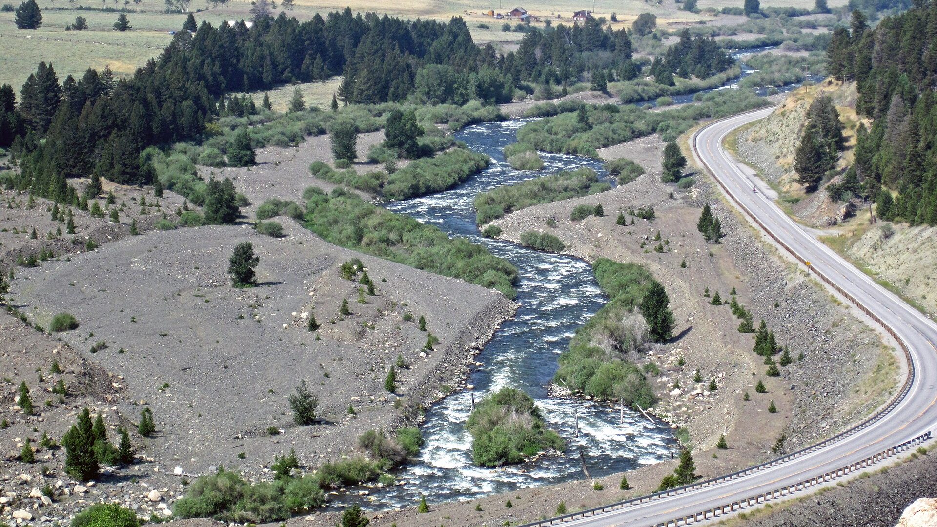
Montana fly fishing reports
Montana is a core fly fishing state in the BlueStreamFly inventory, with famous freestones, tailwaters, float rivers, small-stream options, and national-park-adjacent planning concerns.
Compare riversFishability now
Start with the strongest current read.
Scores combine current flow, weather, access, season, and source confidence. Open a river to see why it earned the number.
Choose the right water
How to fish Montana.
Montana is a core fly fishing state in the BlueStreamFly inventory, with famous freestones, tailwaters, float rivers, small-stream options, and national-park-adjacent planning concerns.
The state hub should help anglers compare the Madison, Missouri, Big Hole, Bitterroot, Clark Fork, Blackfoot, Yellowstone, and smaller tributary options by water type, flow, and access style.
Check Montana Fish, Wildlife and Parks regulations, closures, and restrictions before fishing.
Runoff, low water, warm temperatures, and fire conditions can change the right river choice.
Use the state hub to separate float logistics from wade access and private-bank awareness.
For popular rivers, expect pressure and etiquette to be part of the practical fishing plan.
All Montana reports
Find your river.
Alphabetical for fast scanning. The current score stays visible so you can compare before opening the full report.
Beaverhead River at Dillon
A reach-specific Beaverhead page for anglers deciding whether the Dillon water has the flow, public access, and trout-friendly conditions for a technical brown-trout day.
Beaverhead River at Dillon looks fishable right now.
Beaverhead River at Twin Bridges
A lower-Beaverhead planning page for anglers deciding whether the Twin Bridges reach still has the clarity, current shape, and public access to justify a float or short wade.
Beaverhead River at Twin Bridges looks very fishable right now.
Big Hole River
A Big Hole River report for Montana trout anglers checking Glen flow, drought restrictions, grayling conservation, hatches, access, and weather.
Big Hole River looks very fishable right now.
Bighorn River
A Bighorn River report for Montana tailwater anglers checking Afterbay flow, hatches, access points, public-use rules, weather, and sources.
Bighorn River looks fishable right now.
Bitterroot River
A Bitterroot River report for Montana trout anglers checking Darby flow, FWP restrictions, Skwalas, hoppers, access sites, weather, and rules.
Bitterroot River looks very fishable right now.
Blackfoot River
A Blackfoot River report for anglers checking Bonner flow, access corridor rules, cutthroat and bull-trout safeguards, hatches, and weather.
Blackfoot River looks very fishable right now.
Boulder River
A freestone Boulder River planning page for anglers who need to know whether the Big Timber gauge, Main Boulder access, and current weather justify a wade-focused day.
Boulder River looks very fishable right now.
Clark Fork at Deer Lodge
A Deer Lodge reach page for anglers deciding whether the upper Clark Fork has enough clarity, flow, and public access to justify a quieter Montana day away from headline rivers.
Clark Fork at Deer Lodge looks very fishable right now.
Clark Fork at Goldcreek
A Goldcreek reach page for anglers deciding whether the upper Clark Fork has enough clarity, current shape, and public access to justify a float or focused walk-wade day.
Clark Fork at Goldcreek looks very fishable right now.
Clark Fork River
A Clark Fork River report for Missoula anglers checking below-town flow, freestone tactics, access, heat restrictions, and current Montana rules.
Clark Fork River looks very fishable right now.
East Fork Bitterroot River
An East Fork Bitterroot report for anglers planning small freestone trout water with no exact live gauge, public-land access checks, and current FWP rules.
East Fork Bitterroot River needs a live-condition check before you commit.
Flint Creek
A Flint Creek report for anglers checking Maxville flow, limited public access, small-stream trout tactics, weather, and Montana rules.
Flint Creek looks very fishable right now.
Gallatin River
A Gallatin River report for anglers checking Big Sky flow, canyon access, wade tactics, boat restrictions, hatches, and current FWP rules.
Gallatin River is a cautious call right now.
Jefferson River
A practical Jefferson River page for deciding when the broad headwaters valley has enough cool, clear, structured water to deserve a trout day.
Jefferson River looks fishable right now.
Kootenai River
A Kootenai River report for anglers checking Libby Dam flow, below-dam access, trophy rainbow rules, bull-trout safeguards, and weather.
Kootenai River looks very fishable right now.
Lower Clark Fork River
A Lower Clark Fork report for anglers checking St. Regis flow, big-river access, trout and warmwater transitions, restrictions, and weather.
Lower Clark Fork River looks very fishable right now.
Madison River
A practical upper Madison report for West Yellowstone, Hebgen, Quake Lake, and the fast riffle water downstream.
Madison River is a cautious call right now.
Middle Fork Flathead River
A Middle Fork Flathead report for anglers checking West Glacier flow, Glacier and USFS access rules, native cutthroat tactics, and weather.
Middle Fork Flathead River looks very fishable right now.
Missouri River
A Missouri River report for anglers checking Holter Dam flow, Wolf Creek and Craig access, PMD and caddis hatches, rules, and weather.
Missouri River looks fishable right now.
North Fork Flathead River
A North Fork Flathead report for anglers checking the true North Fork gauge, Glacier and USFS access, native trout safeguards, and weather.
North Fork Flathead River looks very fishable right now.
Rock Creek
A Rock Creek near Missoula report for anglers checking Clinton flow, wade access, boat restrictions, salmonflies, hatches, and FWP rules.
Rock Creek looks very fishable right now.
Smith River
A Smith River planning report for anglers who need more than a flow number: permit rules, multi-day logistics, trout tactics, and when the float is not worth forcing.
Smith River looks very fishable right now.
Soda Butte Creek
A boundary-scoped Soda Butte report for anglers checking Northeast Yellowstone rules, native-fish conservation, flows, access, hatches, and bear-country safety.
Soda Butte Creek looks very fishable right now.
Stillwater River
A Stillwater River report for anglers deciding whether the Absarokee-Columbus freestone has safe flows, useful clarity, and enough public access to fish well.
Stillwater River looks very fishable right now.
West Fork Bitterroot River
A West Fork Bitterroot report for anglers checking Conner flow, Painted Rocks influence, special-use rules, trout tactics, and weather.
West Fork Bitterroot River looks fishable right now.
Yellowstone River
A practical Yellowstone River report for the Paradise Valley and Livingston corridor, with flow, hatches, access, regulations, and safe-day planning.
Yellowstone River looks fishable right now.
This state fits
Who should fish Montana.
Montana pages should stay current on restrictions and access because conditions can shift quickly during runoff, summer heat, and wildfire seasons.
Float and wade anglers comparing major western trout rivers
Tailwater and freestone planning in one state directory
Trips where runoff, drought restrictions, hoot-owl rules, and access matter
Readers choosing between famous destination water and smaller local options
Explore beyond Montana