Today's answer
Score, status, best way to fish, and the main reason.
459 source-backed reports · 38 states
Search a river for today’s score, flow, weather, water temperature when available, access, rules, flies, and the reason for the score.
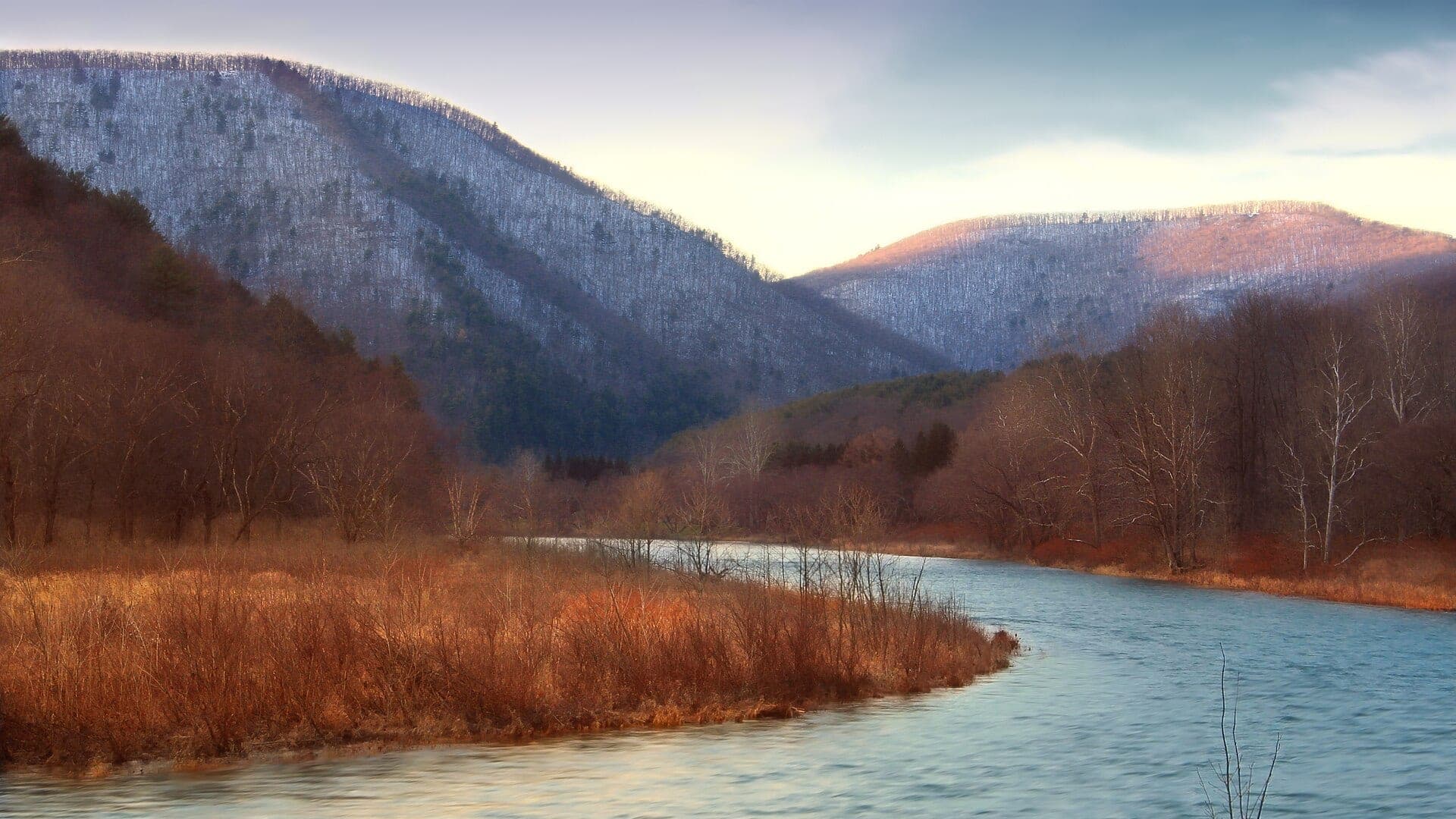
Photo: Pine Creek by Nicholas A. Tonelli Opens in a new tab. · CC BY 2.0 License opens in a new tab.
Three selected rivers
Conditions and restrictions can change. Open the full report before leaving.
USGS shows 449 cfs. The flow has been stable over about 6 hours. USGS marks this reading provisional and may revise it. USGS records for this date (1919-2025, 107 readings) show a median near 110 cfs and a high-water marker near 412 cfs; today's flow is above that high-water marker. USGS 01548500 at Cedar Run is flow context for the gorge corridor. It does not report current continuous water temperature, and neither flow nor air temperature can substitute for an on-site reading. USGS 01549700 at Waterville is a separate downstream gauge and must not be presented as Cedar Run temperature evidence. Treat this as high-water fishing: wading, clarity, crossings, and boat control need a conservative check.
BlueStreamFly cannot confirm whether the report-wide official restriction currently applies: Hoot-owl fishing restriction on the upper Madison River (Yellowstone National Park boundary downstream to Hebgen Reservoir). This does not establish that the restriction is currently active or that the water is legally closed. Do not use score-led guidance until the official source is checked.
USGS 10348000 at Reno reports flow, stage, and turbidity but not current continuous water temperature. Measure the exact Reno reach with a stream thermometer; the downstream Sparks temperature gauge is context only and is not interchangeable. Choose another water at 70°F or warmer.
All report states
These are the eight states with the most reports. See all 38 states below.
Simple trip planning
Score, status, best way to fish, and the main reason.
Flow, weather, water temperature when available, access, rules, and update times.
Target species, seasonal flies, simple tactics, safety limits, and backup water.
 BlueStreamFly field guide
Before you go
Read simple guides on flow, water temperature, access, safety, and rigging.
Before you leave