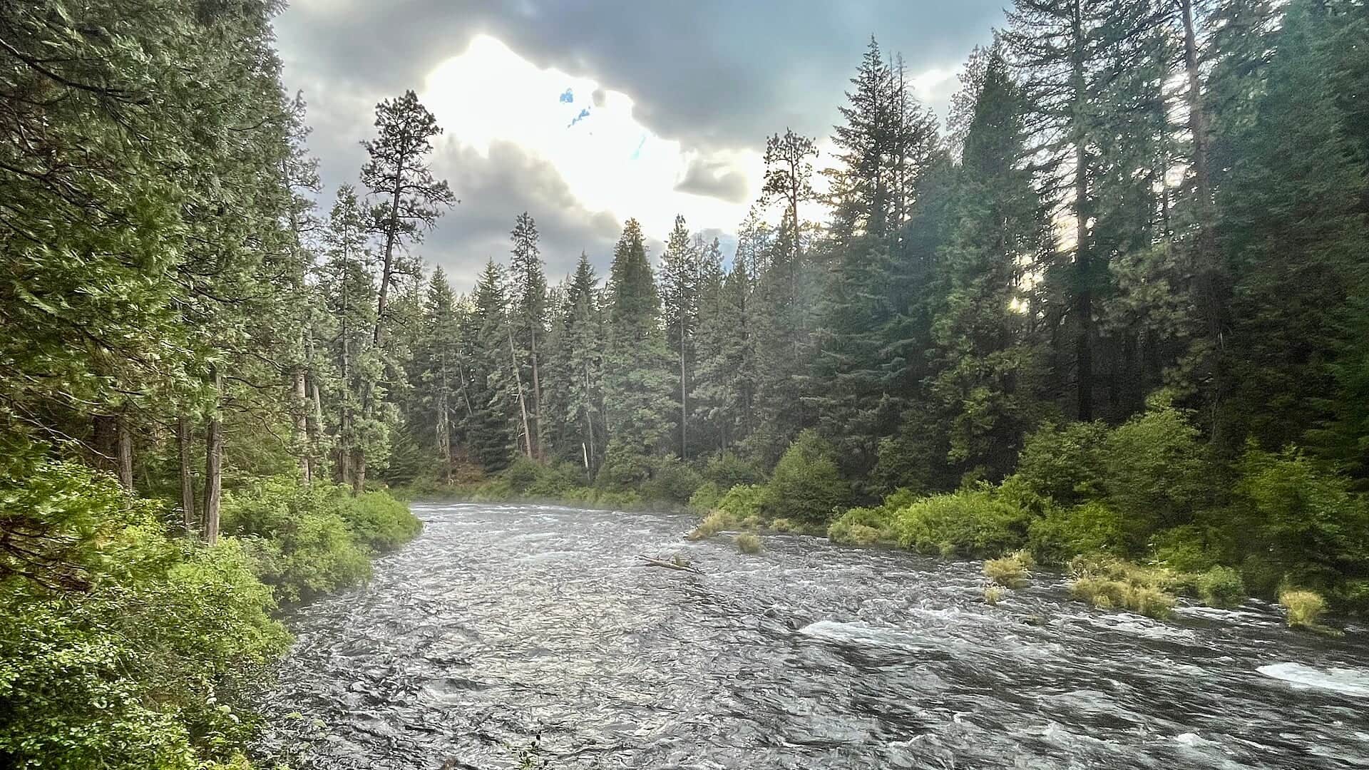
RiverReports preview · current series loading
Recent flow
RiverReports gauge
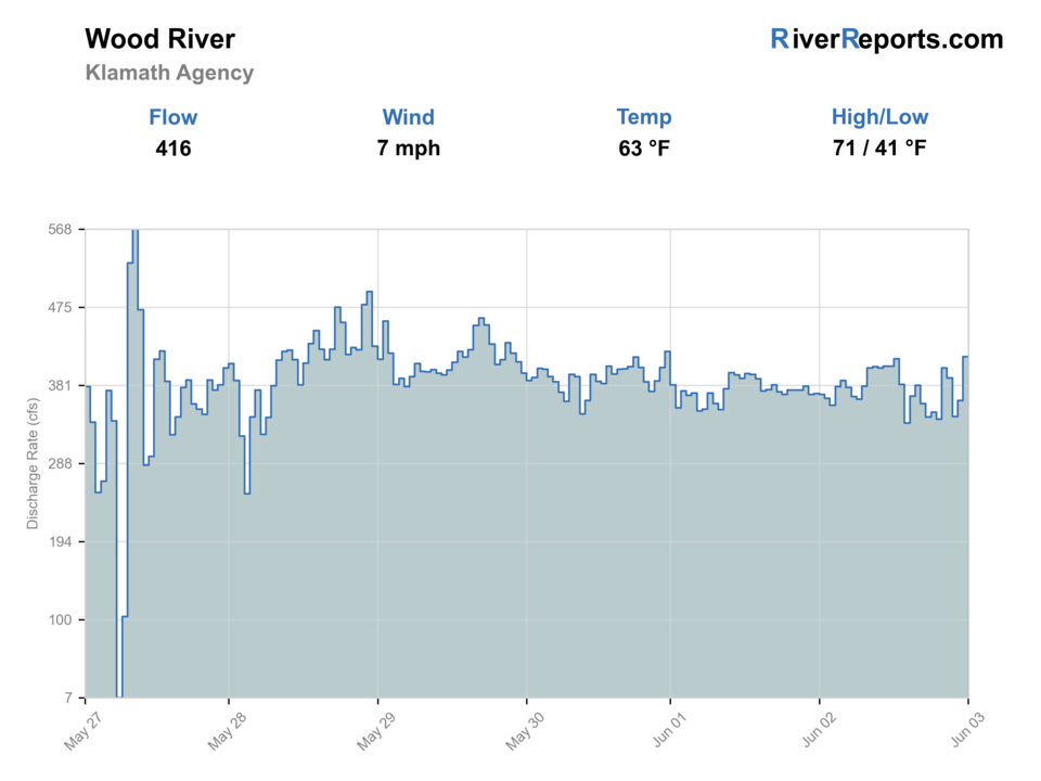
Showing the available RiverReports chart while the current structured flow series loads. Check the chart on RiverReports Opens in a new tab.
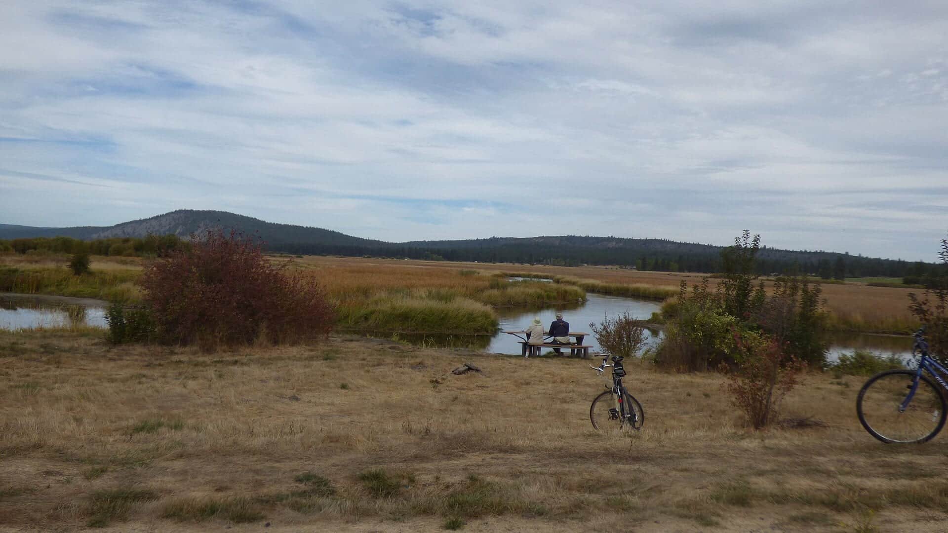
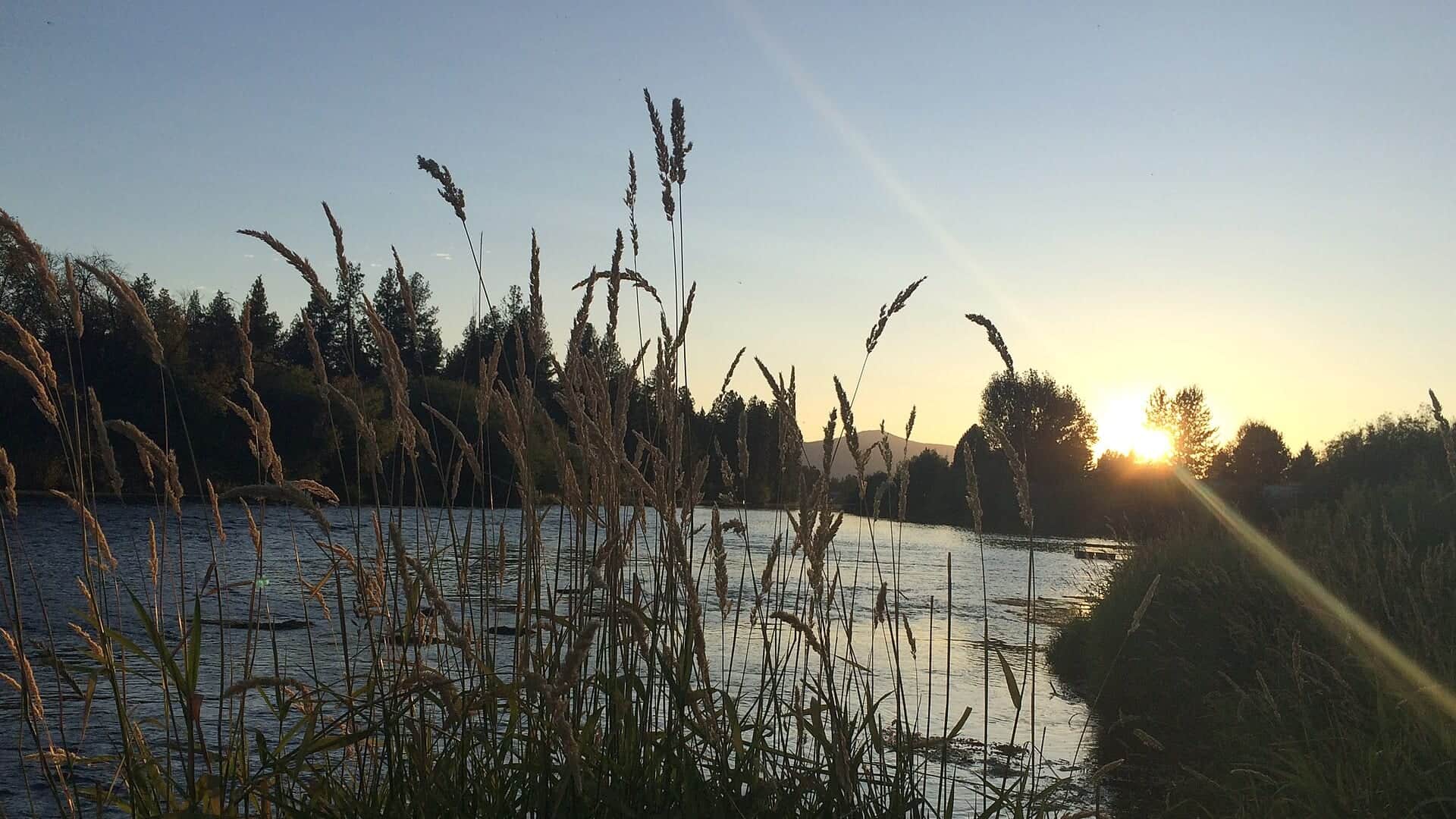
Photo: Bureau of Land Management Oregon and Washington Opens in a new tab. · Public domain
No single best way to fish. Bank fishing and Floating have the same top score. Use current access, footing, weather, and local rules to choose.
Rating updatedRiver local time:
USGS shows 317 cfs. The flow has been stable over about 6 hours. USGS marks this reading provisional and may revise it. USGS records for this date (2014-2026, 13 readings) show a median near 365 cfs and a low-water marker near 325 cfs; today's flow is unusually low for the date. Low water can make fish spooky, warm, pressured, or concentrated; check temperature and handling risk.
NWS air forecast near
RiverReports gauge
Showing the available RiverReports chart while the current structured flow series loads. Check the chart on RiverReports Opens in a new tab.
Light Rain Likely
The National Weather Service forecast is temporarily unavailable.
RiverReports gauge: Wood River near Klamath Agency
Seasonal starting points, not a live hatch report. Match what you see on the water.
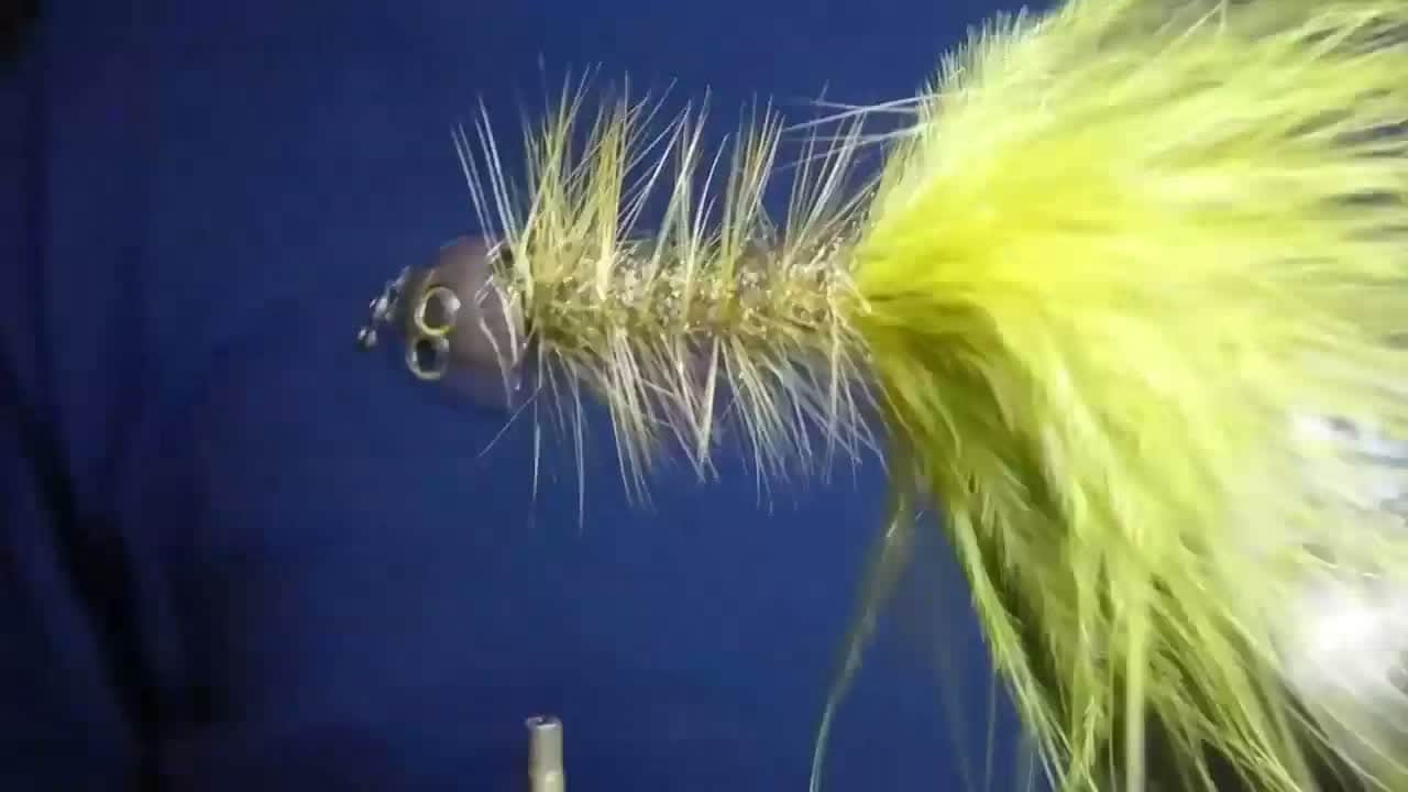
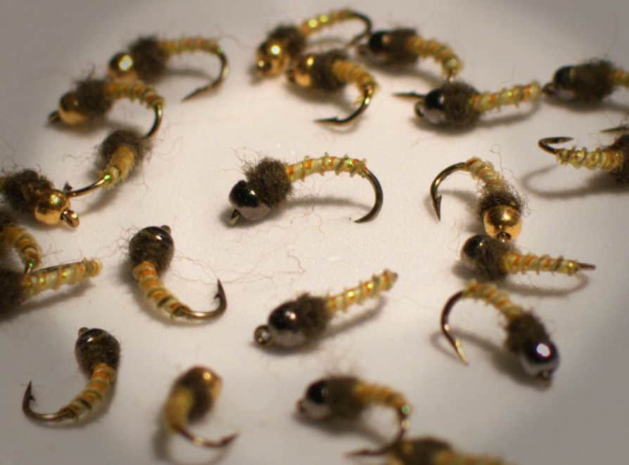
Each fly name opens its matching Fly Box guide.
Good Wood River days come from clear expectations: small water, limited public bank access, boat or bridge logistics, and careful presentations in cold, fertile water.
Use stealth, small nymphs, leeches, and sight-fishing angles instead of heavy disturbance.
Fish protected banks, heavier nymphs, and small streamers when dry-fly accuracy fades.
Give browns a reason to move with leeches, sculpins, and baitfish patterns near cover.
Check temperature and shorten handling. Nearby spring influence does not remove stress risk.
Bank fishing and Floating have the same top score. Use current access, footing, weather, and local rules to choose.
This report does not recommend wading on this reach.
Bank and edge fishing remains a practical low-commitment option if access is legal and footing is safe.
A float is in play where this report supports boat access and wind, releases, and shuttle logistics are manageable.
Is Wood River worth the trip today? Check flow, weather, hatches, access, and rules for Oregon before you go.
The Wood River rewards anglers who understand access and boat logistics before thinking about flies. Use the verified RiverReports chart and USGS 11504115, then match the day to browns, redbands, and careful spring-creek style presentations.
USGS shows 317 cfs. The flow has been stable over about 6 hours. USGS marks this reading provisional and may revise it. USGS records for this date (2014-2026, 13 readings) show a median near 365 cfs and a low-water marker near 325 cfs; today's flow is unusually low for the date. Low water can make fish spooky, warm, pressured, or concentrated; check temperature and handling risk.
Fall: Cooling water can improve brown trout streamer confidence.
USGS water temperature is about 47.1F, and the rolling 24-hour high did not trigger a heat caution. USGS marks the temperature data provisional and may revise it.
No active NWS alert was returned for this forecast point.
Skip or pivot when access signs are unclear, wind makes boat control poor, flows or bridge clearance do not fit the plan, water is too warm for trout handling, or current Oregon rules have not been confirmed.
Use RiverReports and USGS 11504115 together. Stable, cool flow with manageable wind is best. Low clear water, poor boat clearance, or warm conditions should make the plan slower, shorter, or move it elsewhere.
Skip or pivot when access signs are unclear, wind makes boat control poor, flows or bridge clearance do not fit the plan, water is too warm for trout handling, or current Oregon rules have not been confirmed.
Start with the Wood River gauge, ODFW Southeast Zone updates, BLM Wood River Wetland information, and USFS day-use details. Decide whether the day is bridge, wetland, bank, or small-boat oriented before rigging.
If Wood River is windy, access-limited, warm, or too low for the intended setup, compare Williamson River for another Klamath Basin trout plan, Upper Klamath River for a broader southern Oregon option, or the Owyhee River for tailwater timing.
Use these places as starting points. Open the access link below and check posted signs before you park or enter.
Check ODFW Southeast Zone rules and updates for open dates, redband handling, bull trout sensitivity, and any section-by-section restrictions before fishing.
A common orientation point. Verify current rules, bridge clearance, and legal access.
Useful public-land context for lower Wood River planning and wildlife-sensitive access.
USFS day-use information helps orient a first trip before scouting on the ground.
Official agencies and primary river operators come first. Secondary tools are labeled so you know what carries the most weight.
Check what is allowed, where the rule applies, and whether the river is open.
Check the latest river reading and forecast before you leave.
Check public entry points, land rules, and seasonal access changes.
Check what is allowed, where the rule applies, and whether the river is open.
Open the current rules and check the river section, season, and special limits.
Open the current rules and check the river section, season, and special limits.
Open the current rules and check the river section, season, and special limits.
Check the latest river reading and forecast before you leave.
Open this page and check the latest safety advice before your trip.
Open this river reading to check the latest level, flow, and update time.
Open this river reading to check the latest level, flow, and update time.
Check public entry points, land rules, and seasonal access changes.
Open the land or access page, then check signs before you park or enter.
Open the land or access page, then check signs before you park or enter.
What was checked: This Wood River report is maintained from RiverReports and USGS Wood River flow data, Oregon sport-fishing regulations and updates, ODFW Southeast Zone information, BLM Wood River Wetland access, USFS Wood River Day Use information, weather, media-credit, and Klamath Basin spring-creek planning sources.
Live measurements and forecasts keep their provider timestamps. Rules, access, and trip guidance use the source-review date shown here. BlueStreamFly planning advice is editorial interpretation, not an agency notice.
First-hand experience: BlueStreamFly does not claim a first-hand visit or local field test for this report unless a real contributor is explicitly named and linked.
Check ODFW rules, RiverReports, USGS 11504115, wind, boat access, and water temperature.
Start with Weed Road, BLM Wood River Wetland, and USFS day-use information, then confirm legal access on site.
Some wading is possible, but much of the practical fishing depends on legal bank access and small-boat logistics.
Bring the seasonal fly box, a few confidence nymphs or streamers, and enough tippet to change when flow, clarity, temperature, or pressure changes.