Williamson River in Oregon
All Oregon reports

Fly fishing report · West

Williamson River

Is Williamson River worth the trip today? Check flow, weather, hatches, access, and rules for Oregon before you go.

See the flow chart ↓

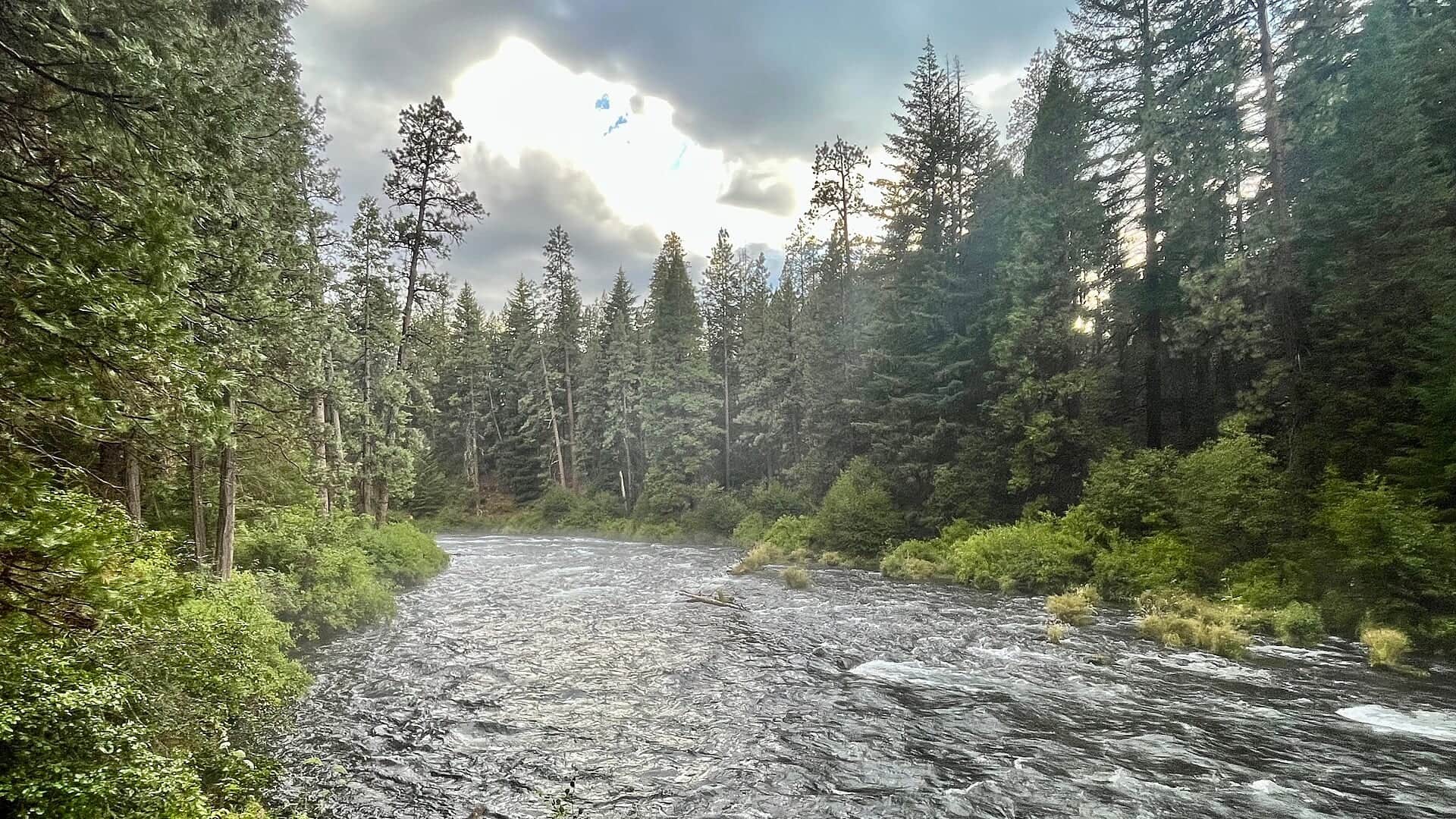
Photo: Merry Lorraine Opens in a new tab. · CC BY-SA 4.0

Good day to fish?Latest river check
Great

Yes. This is a strong time to fish.

No clear best access mode. Wade and Bank / edge have the same top score. Use current access, footing, weather, and local rules to choose.

See update time and confidence
Live data checkHighHow much of the live flow, weather, and alert data came back.
Today's callHighCurrent flow, weather, alerts, and trip-critical signals support this decision.
Score calculated Aug 23, 2026, 12:45 AM PDTUsually checks again about every 45 minutes
Access choicesNo clear best mode

Wade and Bank / edge have the same top score. Use current access, footing, weather, and local rules to choose.

Wade94/100

Wading is in play only where your chosen access has clear footing, legal entry, and no forced crossings.

Bank / edge94/100

Bank and edge fishing remains a practical low-commitment option if access is legal and footing is safe.

FloatNot recommended

This report does not recommend floating this reach.

Your plan

Today's Williamson River plan.

The lower Williamson near Chiloquin is the famous redband water, but the upper river has different access and rule logic. Use RiverReports and USGS 11502500 for the lower flow picture, then confirm ODFW rules for the exact reach before fishing.

Check first
RiverReports has a verified Williamson chart. USGS 11502500 remains the official gauge source.
Try
Fish visible structure first: bends, weed edges, undercut banks, and soft inside seams.
Leave when
Skip or pivot when water is too warm for trout handling, flows are changing quickly, legal access is uncertain, floating-device or reach rules are unclear, or private-property boundaries cannot be confirmed.

Live river check

What the river is doing

Check the latest flow and weather before you go. A quick change can make the river harder or less safe to fish.

Showing the latest stored river check while current readings load.
Flow
495 cfs
From the latest stored river check. Open the official source for the newest reading.Water 60.4°F · 24h high 61.3°F · USGS provisional
Air now
56°F

Current NWS forecast period

Next 24h high
83.0°F

NWS air forecast near

Rain chance
0%

For this forecast period

Latest stored weather check

Clear

Clear

Wind
2 mph
Weather checked

Recent flow chart is loading

The latest stored reading is shown above. Check the official source below if you need the newest value now.

More forecast and source details
National Weather Service

Chiloquin, Oregon

The National Weather Service forecast is temporarily unavailable.

Live data

Where these readings come from

RiverReports gauge: Williamson River below Sprague River near Chiloquin

Water 60.4°F · provisional · 24h high 61.3°F provisionalWater observed · high observed

How to fish it

How to fish Williamson River today.

The best plan is a legal-season, temperature-aware redband trip with a second option nearby. Watch ODFW updates closely around openers, closures, and warm-water periods.

01

Stable flows

Fish riffle edges, weed lines, bends, and soft seams with nymphs, emergers, and leeches.

02

Low clear water

Lengthen leaders, drop fly size, and approach from below or from the bank.

03

Warm weather

Use a thermometer and shift to coldest windows or stop if trout are stressed.

04

Breezy afternoons

Use ants, beetles, small leeches, or heavier nymphs when surface work gets hard.

Fishing words used on this page
U.S. Geological Survey (USGS) gauge
A USGS gauge is an official river station that measures flow or water height.
Cubic feet per second (cfs)
Cubic feet per second, or cfs, shows how much water passes the gauge each second.
Nymph
A nymph is a young water insect. Anglers also use the word for a fly that copies it.
Presentation
Presentation means how you cast and move the fly so it looks natural to a fish.
Riffle
A riffle is shallow, fast water broken by rocks.
Seam
A seam is the line where fast and slow water meet.
Blue-winged olive (BWO)
Blue-winged olives, or BWOs, are small mayflies that often hatch in cool or cloudy weather.
Caddis
Caddis are small water insects. The adults look a little like tiny moths.
Emerger
An emerger copies an insect as it rises from below the water toward the surface.
Midge
Midges are tiny flies and a common trout food, especially in cold water.
Why this call

Why this score

FlowHelps

USGS shows 495 cfs. The flow has been stable over about 6 hours. USGS marks this reading provisional and may revise it. USGS records for this date (1918-2024, 106 readings) show a typical middle range of 465 cfs to 558 cfs. Flow is within the typical range for this date, so weather, temperature, and access become the next checks.

SeasonHelps

Late summer: Temperature and pressure become the main filters.

Water temperatureHelps

USGS water temperature is about 60.4F, and the rolling 24-hour high did not trigger a heat caution. USGS marks the temperature data provisional and may revise it.

Public alertsHelps

No active NWS alert was returned for this forecast point.

Fishing usefulnessHelps

Skip or pivot when water is too warm for trout handling, flows are changing quickly, legal access is uncertain, floating-device or reach rules are unclear, or private-property boundaries cannot be confirmed.

Trip notes

Trip notes

Check these before you choose a reach.

Best flows

Use RiverReports and USGS 11502500 for the lower Williamson near Chiloquin, then keep USGS 11493500 in mind for upper-river context. Stable, cool, readable water is best. Heat, sudden changes, or unclear reach rules should shrink or pause the plan.

When to leave

Skip or pivot when water is too warm for trout handling, flows are changing quickly, legal access is uncertain, floating-device or reach rules are unclear, or private-property boundaries cannot be confirmed.

Local plan

Start with the lower Williamson gauge, the ODFW Southeast Zone report, current rule updates, and one legal access plan. Fish bends, weed edges, undercut banks, and softer seams instead of covering water blindly.

Backup water

If the Williamson is warm, crowded, private-access-limited, or unclear on rules, compare Wood River for a smaller Klamath Basin plan, Upper Klamath River for a separate southern Oregon option, or the Owyhee River for tailwater timing.

What to try

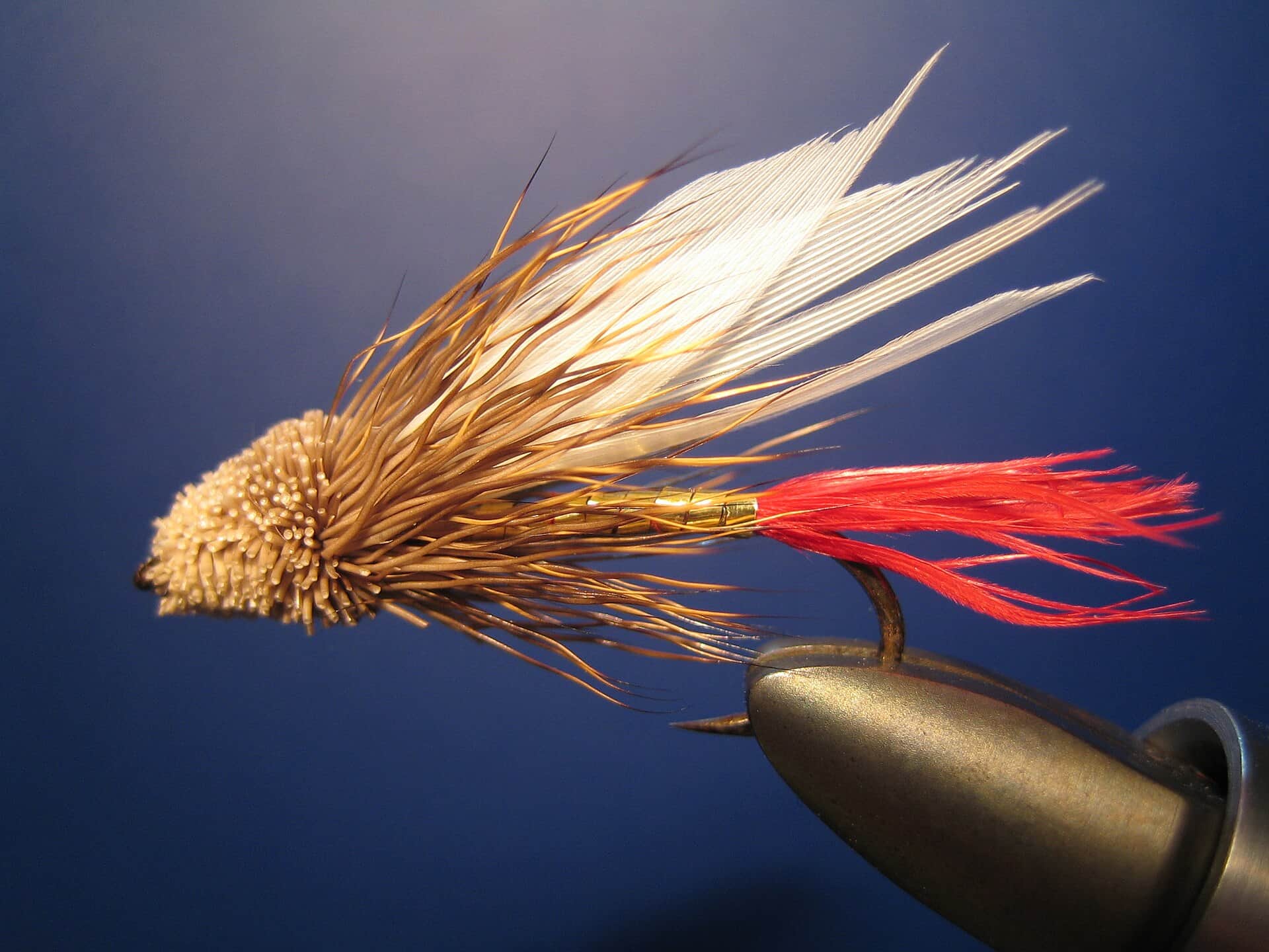
Williamson River flies through the year.

Match the time of year, then let rising fish and current speed guide the next change.

SeasonWhat to look forFlies to try

Each fly name opens its matching Fly Box guide.

Access and safety

Williamson River access and rules.

Use these places as starting points. Open the access link below and check posted signs before you park or enter. Williamson River rules change by reach and season. Check ODFW Southeast Zone rules and updates before fishing, especially lower-river dates and redband handling rules.

Chiloquin and lower Williamson area

Primary lower-river orientation, with private-property sensitivity and seasonal rules.

Kirk Road and upper reach context

Use current rules to separate upper and lower reach plans.

Klamath Falls base

A practical base when combining Williamson, Wood, and Upper Klamath checks.

Do not assume access from a bridge means legal bank travel.

Check ODFW rules for no-floating-device language and reach breaks.

Have a nearby backup because the best redband windows can be narrow.

Compare another river

If this water does not fit the day, check another report before you start the drive.

River sources

Official Williamson River sources.

Official agencies and primary river operators come first. Secondary tools are labeled so you know what carries the most weight.

How this report was checked

How this report was checked

Trip guidance checked

What was checked: This Williamson River report is maintained from RiverReports and USGS lower and upper Williamson flow data, Oregon sport-fishing regulations and updates, ODFW Southeast Zone information, weather, media-credit, and Klamath Basin redband planning sources.

Live measurements and forecasts keep their provider timestamps. Rules, access, and trip guidance use the source-review date shown here. BlueStreamFly planning advice is editorial interpretation, not an agency notice.

First-hand experience: BlueStreamFly does not claim a first-hand visit or local field test for this report unless a real contributor is explicitly named and linked.

Rules and closures

Check what is allowed, where the rule applies, and whether the river is open.

Flow and weather

Check the latest river reading and forecast before you leave.

Access and land

Check public entry points, land rules, and seasonal access changes.

See all 8 checked sources

Rules and closures

Check what is allowed, where the rule applies, and whether the river is open.

Flow and weather

Check the latest river reading and forecast before you leave.

Access and land

Check public entry points, land rules, and seasonal access changes.

Source check is old. Last checked . Open the official links now and check for changes.

See something wrong? Report a source problem. Please do not send private spots or private access notes.

Quick answers

Quick Williamson River answers.

What should I check first before fishing the Williamson River?

Check ODFW reach rules first, then RiverReports and USGS 11502500 for flow and temperature.

Where should a first-time visitor start on the Williamson River?

Start by deciding whether you are fishing the upper or lower river, because access and rules change.

Can I wade the Williamson River?

Yes in some places, but clear water, private land, and reach rules make careful entry more important than covering miles.

What flies should I bring for the Williamson River?

Bring the seasonal fly box, a few confidence nymphs or streamers, and enough tippet to change when flow, clarity, temperature, or pressure changes.