Wade49/100
Wading is the most sensitive plan today. Use protected edges only, avoid crossings, and downgrade quickly if clarity or current feels wrong.
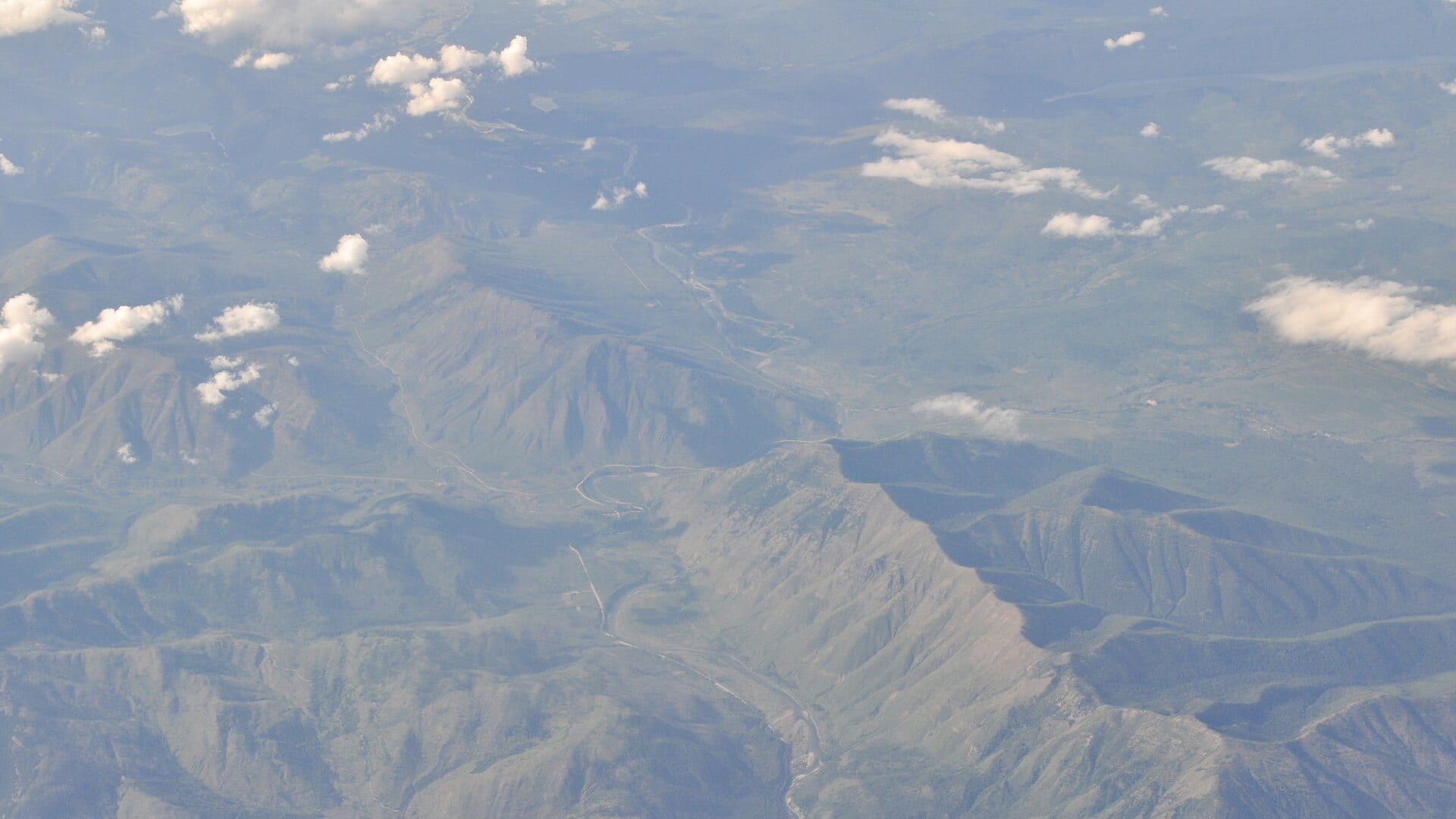
Fly fishing report · West
A North Fork Flathead report for anglers checking the true North Fork gauge, Glacier and USFS access, native trout safeguards, and weather.
Check flow & weatherAn Air Quality Alert is active near this forecast point, so the score is capped at caution until smoke and access conditions are checked. NWS alert: Air Quality Alert issued August 2 at 9:12AM MDT by NWS Great Falls MT.
Compare wading, bank fishing, and floating before choosing how you will fish.
Wading is the most sensitive plan today. Use protected edges only, avoid crossings, and downgrade quickly if clarity or current feels wrong.
This report does not describe this as a primary mode. Verify legal access, depth, launches, and retreat options before planning around it.
A float can fit better than wading only if launches, shuttle, boat skill, wind, and local rules all check out.
Check before you drive
Look at whether the river is rising or falling, then check wind, rain, and storms. These can change both safety and fishing.
Before you rely on this report
Conditions can change quickly. Check these dates before you decide to fish, and open the official source when safety or rules matter.
High confidence in the current score inputs.
8 sources are listed below for you to open.
3 public access records are listed. Private spots are never shown.
Source checked Jul 30, 2026
Plan your access
These are public parking, launch, trail, or recreation areas—not secret fishing spots. We never show an angler's private pins, notes, or photos here.
Area description
USFS access context and lower-river planning near the true North Fork gauge.
The North Fork is remote. Road conditions, fire, weather, and bears matter as much as the hatch.
Glacier National Park and Montana rules can differ by where you fish from. Check official guidance.
Roadside access
Remote upper access with road, weather, and Glacier boundary planning.
The North Fork is remote. Road conditions, fire, weather, and bears matter as much as the hatch.
Glacier National Park and Montana rules can differ by where you fish from. Check official guidance.
Area description
Lower river context where the North Fork joins other Flathead water.
The North Fork is remote. Road conditions, fire, weather, and bears matter as much as the hatch.
Glacier National Park and Montana rules can differ by where you fish from. Check official guidance.
How to fish it
The North Fork Flathead is a cold, remote border-country river. This page uses the North Fork near Columbia Falls gauge, not a generic Flathead River substitute, and keeps access and native-trout rules front and center.
An Air Quality Alert is active near this forecast point, so the score is capped at caution until smoke and access conditions are checked. NWS alert: Air Quality Alert issued August 2 at 9:12AM MDT by NWS Great Falls MT.
USGS shows 1,480 cfs with a stable over about 6 hours trend. Today's flow is within the normal seasonal range of 1,430 cfs to 2,580 cfs. Weather, water temperature, and access are the next checks.
Early summer: Runoff drop can create the first strong dry-dropper windows.
USGS water temperature is about 61F, with no heat stop triggered.
Skip or pivot when runoff is high, roads are uncertain, Glacier or Forest Service rules do not fit the plan, fire or smoke affects access, water is too warm for cutthroat handling, or remote travel gear is not ready.
Read the water
The best North Fork days happen after runoff drops, roads are passable, and cool clear water lets cutthroat feed along seams and gravel edges. If flows are high or access is uncertain, wait.
Cold and powerful. Postpone wading or use safer access until flows drop.
Fish attractor dries, caddis, stonefly nymphs, and soft inside seams.
Use stealth, smaller dries, shade, and temperature checks.
Recheck road, fire, weather, and emergency conditions before driving far.
Your trip plan
Use USGS 12355500 near Columbia Falls as the primary flow reference. Dropping clear water after runoff gives the best native-trout window; high cold water, storm jumps, smoke, or road uncertainty should move the plan to a safer option.
Skip or pivot when runoff is high, roads are uncertain, Glacier or Forest Service rules do not fit the plan, fire or smoke affects access, water is too warm for cutthroat handling, or remote travel gear is not ready.
Start with the North Fork gauge, road and fire context, and one legal access area. Then fish soft gravel edges, boulder cushions, and side channels without pushing into fast glacial current.
If the North Fork is high, smoky, road-limited, or too remote for the day, compare the Middle Fork Flathead for Hwy 2 access, the Kootenai for a larger below-dam plan, or the Blackfoot for a different native-trout-sensitive freestone.
Hatches & flies
 Fly family · report suggests “BWO emerger”Blue-Winged Olive PatternsBWO describes a hatch group, not one fly. Nymph, emerger, dry, cripple, and spinner profiles must stay separate because they occupy different parts of the water column.See family guide ↗
 Fly pattern · report suggests “zebra midge”Zebra MidgeLook for a very slim tapered thread body, evenly spaced contrasting wire rib, a small bead, and no tail or wing. The reviewed classic is black with silver wire and a silver bead. Red, olive, brown, glass-bead, jig-hook, resin-coated, or tailed forms must remain labeled variations rather than replacing the classic identity.See photos & how to fish it ↗+ 2 more reviewed guides in the Fly Box
  Fly pattern · report suggests “Chubby Chernobyl”Chubby ChernobylIdentify the construction, not the color: a long foam overbody over a segmented dubbed underside, rubber legs at two tie-in stations, two distinct buoyant synthetic-yarn wing sections, and a short flash tail. The paired wing stations and layered foam-and-dubbing body separate the reviewed Chubby from the original Chernobyl Ant and from generic foam hoppers or beetles.See photos & how to fish it ↗
 Fly family · report suggests “caddis”Caddis Patterns by StageCaddis is not one fly. Larvae live below, pupae and emergers rise through the column, tent-wing adults ride or move on top, and spent forms create other silhouettes.See family guide ↗+ 3 more reviewed guides in the Fly Box
  Fly family · report suggests “Foam hopper”Grasshopper PatternsHopper patterns share a substantial body and long rear-leg impression, but foam, deer hair, wing construction, and waterline differ widely among named patterns.See family guide ↗
 Fly family · report suggests “ant”Ant PatternsAnt patterns can be foam, fur-bodied, winged, or sunken. The narrow waist and paired body lobes matter more than one material recipe.See family guide ↗+ 3 more reviewed guides in the Fly Box Fly family · report suggests “BWO”Blue-Winged Olive PatternsBWO describes a hatch group, not one fly. Nymph, emerger, dry, cripple, and spinner profiles must stay separate because they occupy different parts of the water column.See family guide ↗
 Fly family · report suggests “October caddis”October Caddis PatternsOctober Caddis names a hatch group. Amber or orange pupae, soft-hackle or wet forms, and large tent-wing adults fish at different levels.See family guide ↗+ 3 more reviewed guides in the Fly Box
 Use the gauge and road status before committing to long remote access.
Fish gravel bar seams, soft edges, boulder cushions, and side channels after runoff drops.
Start with a buoyant dry and small dropper, then switch to smaller dries in clear low water.
Keep native trout wet, avoid overplaying fish, and stop if water is too warm.
Carry enough food, layers, and safety gear for a remote river day.
Rules & closures
Open the agency page to confirm the exact river section, species, season, tackle rules, limits, and emergency closures.
Official links checkedWe checked the state source but did not find a clearly supported exception for this river. Check the official rules for the exact section you plan to fish.
This summary helps with trip planning. The linked agency rule is the one you must follow.
Updates from anglers
Recent observations from general areas of North Fork Flathead River. We review every update before it appears and never publish exact fishing spots, private access details, or photo locations.
You can still use the river plan above. Check back later for recent observations from other anglers.
Where this report comes from
Fishing guidance checked: May 31, 2026
Site check: Jul 14, 2026. We regularly test report links, live scores, flow and weather data, and page loading. The content date changes only when the fishing guidance or its sources change.
Common questions
Check USGS 12355500, Glacier and FWP rules, road conditions, weather, fire or smoke status, and access logistics.
Yes. Native-trout protections, single-point hook context, and park boundary details can affect your plan.
Bring the hatch-chart flies, a few confidence nymphs, and a streamer box. Then adjust for water temperature, clarity, and the insects you actually see.
Yes at some flows and bars, but it is cold remote water. Use official access and conservative wading.
Skip it when flows are unsafe, temperatures stress trout, wildfire or emergency closures are active, or legal access for the reach is not clear.