Live flow is not available
No current exact discharge feed was verified for the South Branch fishing reach. Use DNR stream-condition updates, rainfall, visual clarity, and nearby Root River gauges as planning context.
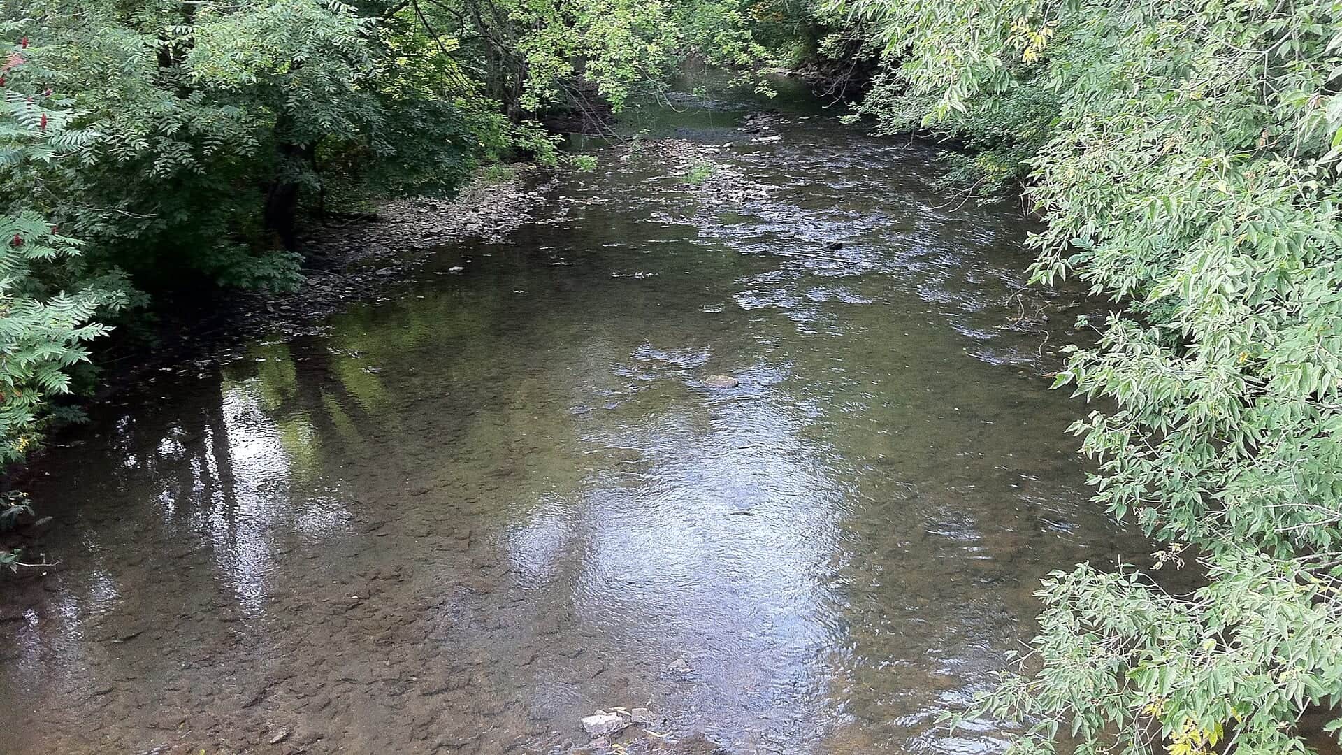
Photo: Jayesh Naithani Opens in a new tab. · CC BY-SA 3.0
We could not confirm a live gauge for this river. Check the weather, recent rain, local reports, and the water before you fish.
Check first: Live information is incomplete. Treat this score as a planning estimate.
Rating updatedRiver local time:
No verified live public gauge is attached, so the page cannot make a strong real-time call.
NWS air forecast near
This is an air forecast, not a river-temperature reading. Check the water with a stream thermometer before fishing in hot weather.
No current exact discharge feed was verified for the South Branch fishing reach. Use DNR stream-condition updates, rainfall, visual clarity, and nearby Root River gauges as planning context.
Mostly Sunny
The National Weather Service forecast is temporarily unavailable.
Official flow source: South Branch Root nearby gauge context
No current exact discharge feed was verified for the South Branch fishing reach. Use DNR stream-condition updates, rainfall, visual clarity, and nearby Root River gauges as planning context.
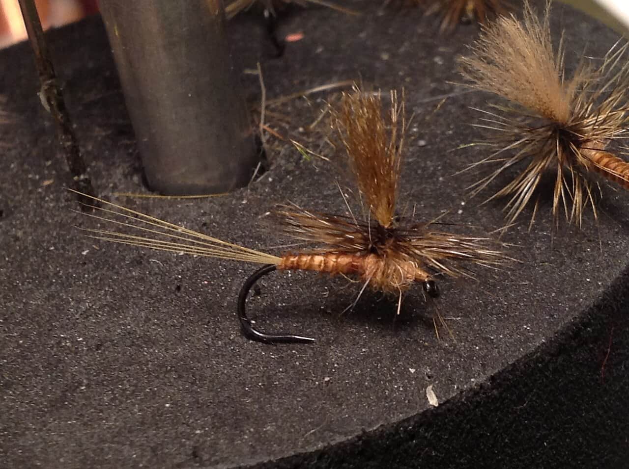
Seasonal starting points, not a live hatch report. Match what you see on the water.
Also try trico spinner, dry-dropper
Also try scud, pink squirrel
Each fly name opens its matching Fly Box guide.
The best plan is a careful small-stream day: clear water, legal easement, light gear, and a short list of confidence flies. If rainfall has the creek stained, fish a safer option or wait for it to drop.
Use long leaders, small dries, scuds, and careful upstream or cross-stream casts.
Try small streamers, worm-style flies where legal, or larger nymphs near banks.
Skip it or move to safer water. Banks and crossings can become poor quickly.
Fish early, check temperature, and stop trout fishing when handling is risky.
We could not confirm all current conditions. Check locally before choosing how to fish.
Current conditions at the exact access are not verified. No access method is recommended until they are checked.
Current conditions at the exact access are not verified. No access method is recommended until they are checked.
Current conditions at the exact access are not verified. No access method is recommended until they are checked.
Is South Branch Root River worth the trip today? Check flow, weather, hatches, access, and rules for Minnesota before you go.
The South Branch Root has trout water that changes quickly after rain, but the exact live gauge picture is limited. Use DNR trout maps, Lanesboro stream conditions, and nearby Root gauges as planning context.
No verified live public gauge is attached, so the page cannot make a strong real-time call.
Fall and winter: BWOs, midges, scuds, and small streamers during legal fishing windows.
The current NWS air forecast is about 61F, and the next 24-hour high reaches about 77F. Mostly Sunny.
No active NWS alert was returned for this forecast point.
Skip when rain has stained the valley, banks are too muddy, the legal easement is unclear, water is too warm, or nearby gauge context conflicts with what you see on arrival.
No current exact live discharge station was verified for the fishing reach. Use Lanesboro stream conditions, rainfall, nearby Root gauges, and visual clarity before committing.
Skip when rain has stained the valley, banks are too muddy, the legal easement is unclear, water is too warm, or nearby gauge context conflicts with what you see on arrival.
Start with the DNR trout map and Lanesboro conditions, then pick one legal access and carry a small, simple box of scuds, BWOs, caddis, terrestrials, and a few streamers.
If South Branch Root is off-color, warm, or access-limited, compare South Fork Root, Whitewater River, or a warmwater Mississippi plan.
Use these places as starting points. Open the access link below and check posted signs before you park or enter.
Minnesota trout stream rules and special fishing rule reaches vary. Check the rule PDF, trout maps, and local DNR condition notes before fishing.
Useful base for South Branch and nearby Root system trout access.
Important trout-reach planning area with special-rule and public-access checks.
Use DNR stream condition updates before driving after rain.
Official agencies and primary river operators come first. Secondary tools are labeled so you know what carries the most weight.
Check what is allowed, where the rule applies, and whether the river is open.
Check the latest river reading and forecast before you leave.
Check public entry points, land rules, and seasonal access changes.
Use these links for stocking, safety, and other local details.
Check what is allowed, where the rule applies, and whether the river is open.
Open the current rules and check the river section, season, and special limits.
Check the latest river reading and forecast before you leave.
Open this page and check the latest safety advice before your trip.
Open this river reading to check the latest level, flow, and update time.
Open this river reading to check the latest level, flow, and update time.
Check public entry points, land rules, and seasonal access changes.
Open the land or access page, then check signs before you park or enter.
Open the land or access page, then check signs before you park or enter.
Use these links for stocking, safety, and other local details.
Open this page and check the latest safety advice before your trip.
What was checked: This report is maintained from current regulation, access, flow, weather, and public planning sources so anglers can make better trip decisions than a raw gauge or generic overview would allow.
Live measurements and forecasts keep their provider timestamps. Rules, access, and trip guidance use the source-review date shown here. BlueStreamFly planning advice is editorial interpretation, not an agency notice.
First-hand experience: BlueStreamFly does not claim a first-hand visit or local field test for this report unless a real contributor is explicitly named and linked.
Check Minnesota trout maps, Lanesboro stream conditions, rainfall, nearby Root gauges, and the exact special-rule reach.
Yes. Special trout rules can differ by reach, so use current Minnesota DNR maps and rules.
Yes, if you match the reach, season, target species, water temperature, and current access rules. This report is built to help you choose that plan.
Bring the hatch-chart flies, confidence nymphs, and a backup streamer or warmwater box so you can adjust to flow, clarity, and temperature.
Plan through DNR trout easements, road crossings, and posted public access. Respect private pasture and farm property.