WadeNot advised
Wading is the most sensitive plan today. Use protected edges only, avoid crossings, and downgrade quickly if clarity or current feels wrong.

Fly fishing report · West
Scott River planning with RiverReports flow, official agency sources, NWS weather, access notes, hatch timing, fly picks, and practical safety guidance.
Check flow & weatherCurrent USGS flow is 20 cfs and has been stable for about 6 hours. Today's flow is below the normal seasonal range, which begins near 26 cfs. This is below normal, so edge depth, temperature, and pressure matter.
Compare wading, bank fishing, and floating before choosing how you will fish.
Wading is the most sensitive plan today. Use protected edges only, avoid crossings, and downgrade quickly if clarity or current feels wrong.
Bank and edge fishing is the safer default when water is high, pushy, or not fully verified.
A float can fit better than wading only if launches, shuttle, boat skill, wind, and local rules all check out.
Check before you drive
Look at whether the river is rising or falling, then check wind, rain, and storms. These can change both safety and fishing.
Before you rely on this report
Conditions can change quickly. Check these dates before you decide to fish, and open the official source when safety or rules matter.
High confidence in the current score inputs.
9 sources are listed below for you to open.
3 public access records are listed. Private spots are never shown.
Source checked Jul 30, 2026
Plan your access
These are public parking, launch, trail, or recreation areas—not secret fishing spots. We never show an angler's private pins, notes, or photos here.
Area description
Good for reading flow, but not a complete public-access guarantee.
Klamath National Forest lists Scott River access points in the Wild and Scenic corridor, but valley banks and bridges still require land-status checks.
Confirm parking, land ownership, launch status, and current agency notices before relying on any access point.
Roadside access
Forest Service lists Bridge Flat, Canyon Creek, and other access context.
Klamath National Forest lists Scott River access points in the Wild and Scenic corridor, but valley banks and bridges still require land-status checks.
Confirm parking, land ownership, launch status, and current agency notices before relying on any access point.
Parking
Confirm parking and land ownership before walking banks.
Klamath National Forest lists Scott River access points in the Wild and Scenic corridor, but valley banks and bridges still require land-status checks.
Confirm parking, land ownership, launch status, and current agency notices before relying on any access point.
How to fish it
Scott River should be planned around flow, legal access, and the specific reach you intend to fish. These North Coast systems can fish well when open, cool, and clearing, but they are built around salmonid conservation, private-land edges, and fast-changing storms.
USGS shows 20 cfs with a stable over about 6 hours trend. Today's flow is below the normal seasonal range, which begins near 26 cfs. This is below normal, so edge depth, temperature, and pressure matter.
A heat alert is active near this forecast point, so the score is capped at caution until water temperature and fish-handling risk are checked. NWS alert: Heat Advisory issued August 2 at 10:32AM PDT until August 6 at 11:00PM PDT by NWS Medford OR.
Float: A float can fit better than wading only if launches, shuttle, boat skill, wind, and local rules all check out.
Summer: Often a scouting or warmwater season.
The NWS forecast is about 76F with Patchy Smoke.
Read the water
Best windows come after the river is open under current rules and the hydrograph is dropping into fishable shape. Skip the trip during closures, muddy storm pulses, hot low water, or unclear access.
Best for cautious salmonid scouting when rules allow.
Avoid trout or salmonid pressure and check current restrictions.
High canyon water can be unsafe and difficult to fish.
Use smaller flies and avoid visible spawning fish.
Your trip plan
Open under CDFW low-flow rules, dropping after rain, and clear enough to fish without stressing salmonids.
Skip during closures, muddy storm spikes, hot low water, or private-access uncertainty.
Fort Jones, Etna, or Scott Bar is the practical base. Check cdfw rules, scott river flow, klamath national forest access status, and water temperature, then pick a short legal access plan instead of trying to cover the whole river.
Check nearby BlueStreamFly reports if the gauge, rules, or weather do not fit the plan.
Hatches & flies
 Fly family · report suggests “Black stone”Black Stonefly PatternsBlack stonefly wording is a color and insect-group label, not one exact recipe. Size, nymph versus adult stage, wing profile, and weighting must remain explicit.See family guide ↗
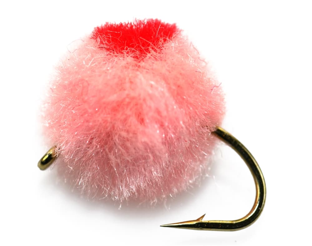 Fly family · report suggests “egg pattern where legal”Egg Fly PatternsEgg flies are tied to the hook. Round clipped-yarn eggs, sparkly chenille eggs, veiled eggs, single eggs, and clusters differ in material and silhouette; pegged or free-sliding beads are rigs, not fly patterns.See family guide ↗+ 3 more reviewed guides in the Fly Box
  Fly family · report suggests “BWO emerger”Blue-Winged Olive PatternsBWO describes a hatch group, not one fly. Nymph, emerger, dry, cripple, and spinner profiles must stay separate because they occupy different parts of the water column.See family guide ↗
 Fly family · report suggests “caddis pupa”Caddis Pupa PatternsCaddis pupa is a life-stage family. Curved bodies, wing pads, legs, beads, and soft-hackle collars differ among exact patterns and must be labeled.See family guide ↗+ 3 more reviewed guides in the Fly Box
  Fly family · report suggests “Foam ant”Ant PatternsAnt patterns can be foam, fur-bodied, winged, or sunken. The narrow waist and paired body lobes matter more than one material recipe.See family guide ↗
 Fly family · report suggests “small caddis”Caddis Patterns by StageCaddis is not one fly. Larvae live below, pupae and emergers rise through the column, tent-wing adults ride or move on top, and spent forms create other silhouettes.See family guide ↗+ 3 more reviewed guides in the Fly Box
  Fly family · report suggests “Soft hackle”Soft-Hackle Wet FliesA slim body and sparse webby feather collar define the family. Body material, tail, bead, and insect-specific color create different named patterns.See family guide ↗Fly family · report suggests “BWO”Blue-Winged Olive PatternsBWO describes a hatch group, not one fly. Nymph, emerger, dry, cripple, and spinner profiles must stay separate because they occupy different parts of the water column.See family guide ↗+ 3 more reviewed guides in the Fly Box
 Check open status before leaving home, then match the gauge to clarity when you arrive.
Swing sparse flies or small streamers through soft traveling lanes only when the river is legal and fishable.
Avoid redds, staging fish, and crowded slots; these rivers depend on careful handling.
Keep a backup plan because coastal rivers can close or blow out quickly.
Rules & closures
Open the agency page to confirm the exact river section, species, season, tackle rules, limits, and emergency closures.
Official links checkedWe checked the state source but did not find a clearly supported exception for this river. Check the official rules for the exact section you plan to fish.
This summary helps with trip planning. The linked agency rule is the one you must follow.
Updates from anglers
Recent observations from general areas of Scott River. We review every update before it appears and never publish exact fishing spots, private access details, or photo locations.
You can still use the river plan above. Check back later for recent observations from other anglers.
Where this report comes from
Fishing guidance checked: May 31, 2026
Site check: Jul 14, 2026. We regularly test report links, live scores, flow and weather data, and page loading. The content date changes only when the fishing guidance or its sources change.
Common questions
Do not assume it is open. Low-flow rules, salmonid protections, and current sport-fishing regulations decide the legal plan.
Wade from known legal access first. Float plans need current landings, safe flow, and local knowledge.
Use the RiverReports chart for a fast read and USGS 11519500 as the official flow source or context source.