RiverReports preview · current series loading
Recent flow
RiverReports gauge
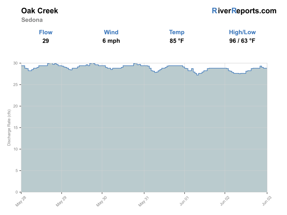
Showing the available RiverReports chart while the current structured flow series loads. Check the chart on RiverReports Opens in a new tab.
No access method is recommended today. Review the live conditions below before choosing another river or day.
Rating updatedRiver local time:
USGS shows 2,430 cfs. The flow has been rising about 904% over about 6 hours. USGS marks this reading provisional and may revise it. USGS records for this date (1982-2026, 45 readings) show a median near 30 cfs and a high-water marker near 37 cfs; today's flow is above that high-water marker. Treat this as high-water fishing: wading, clarity, crossings, and boat control need a conservative check.
NWS air forecast near
RiverReports gauge
Showing the available RiverReports chart while the current structured flow series loads. Check the chart on RiverReports Opens in a new tab.
Showers And Thunderstorms
The National Weather Service forecast is temporarily unavailable.
RiverReports gauge: Oak Creek at Sedona
Seasonal starting points, not a live hatch report. Match what you see on the water.
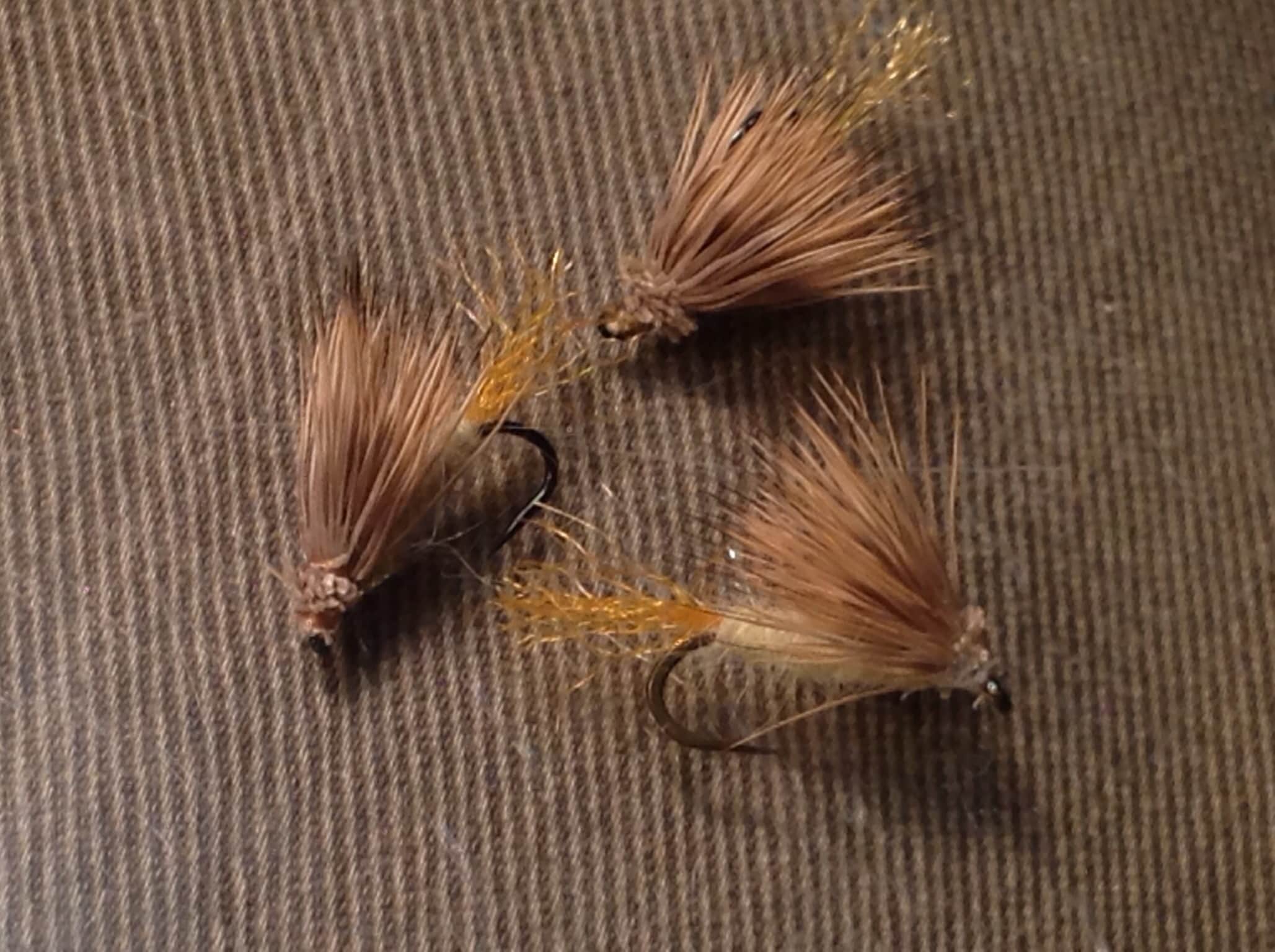
Each fly name opens its matching Fly Box guide.
The best Oak Creek days usually have clear water, stable flows, cool shade, and enough space to fish without crowding swimmers or hikers. Fish early, keep presentations light, and move to another reach if the canyon is busy or the water warms.
Use longer leaders, small dries, tiny nymphs, and a careful upstream approach. Avoid repeated casts over visible fish.
This is the best flexible window. Dry-droppers, small beadheads, caddis dries, and soft hackles can all work through riffles and pocket water.
Do not push crossings. Fish soft edges and protected pockets only if safe, or wait for the creek to clear after storms.
Move earlier, higher, or to a shaded reach. If trout are stressed or swimmers are using the pool, scout instead of forcing the fishing.
No access method is recommended in today's conditions. Review the live river and weather checks before making another plan.
Not recommended today. Recheck the river, weather, and access before planning another trip.
Not recommended today. Recheck the river, weather, and access before planning another trip.
Not recommended today. Recheck the river, weather, and access before planning another trip.
Is Oak Creek worth the trip today? Check flow, weather, hatches, access, and rules for Arizona before you go.
Oak Creek is useful trout water, but the plan changes quickly between shaded canyon water, the catch-and-release reach near Slide Rock and West Fork, tourist-heavy access, and warmer lower water near Sedona and Page Springs.
USGS shows 2,430 cfs. The flow has been rising about 904% over about 6 hours. USGS marks this reading provisional and may revise it. USGS records for this date (1982-2026, 45 readings) show a median near 30 cfs and a high-water marker near 37 cfs; today's flow is above that high-water marker. Treat this as high-water fishing: wading, clarity, crossings, and boat control need a conservative check.
The forecast has storm or heavy-precipitation risk, so timing and access matter more than the score alone.
A severe thunderstorm alert is active near this forecast point, so the score is capped until lightning, wind, and access risk are checked. NWS alert: Severe Thunderstorm Watch issued October 22 at 2:15AM MST until October 22 at 10:00AM MST by NWS Flagstaff AZ.
Fall: Cooler weather, lighter crowds, small BWOs, midges, and small streamers can make a good walk-and-wade day.
USGS water temperature is about 59.2F, and the rolling 24-hour high did not trigger a heat caution. USGS marks the temperature data provisional and may revise it.
Use the Sedona gauge trend, water clarity, and temperature together. Stable or slowly falling clear water is the best clue. Rising, stained, warm, or crowded water should move the plan higher, earlier, or to another route.
Skip trout fishing when water temperatures are stressful, storms are staining the canyon, crossings look unsafe, the special fishing rule reach is unclear, or swimmers and hikers have already taken over the pools you planned to fish.
Start with a gauge and access check, then choose the reach: West Fork or the Slide Rock-to-Sterling Springs rule water for a shaded trout session, lower Sedona only when temperature, access, and crowds still support it.
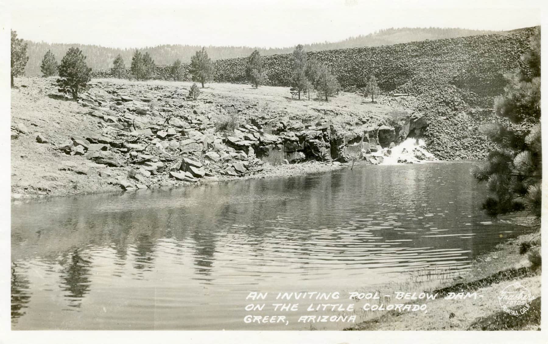
If Oak Creek is warm, stained, crowded, or rule-limited, compare Canyon Creek, the Little Colorado near Greer, Black River, or a stocked lake after checking each water's current access and rules.
Use these places as starting points. Open the access link below and check posted signs before you park or enter.
Verify the current Arizona fishing rules before fishing. Coconino National Forest says the catch-and-release section that began Jan. 1, 2023 runs from the Highway 89A bridge crossing at Slide Rock State Park upstream to the Arizona Game and Fish Sterling Springs Fish Hatchery property boundary, including West Fork Oak Creek. Arizona's Commission Order 40 lists that trout reach as catch-and-release, artificial fly and lure only, with barbless hooks. Arizona also lists Oak Creek as a New Zealand mudsnail affected water, so clean and dry gear after fishing.
The main canyon road parallels the creek between Flagstaff and Sedona, with picnic sites, campgrounds, and pullouts. Parking can fill early.
This is the key special fishing rule reference reach. Confirm the current Arizona rule before fishing above the Highway 89A bridge crossing at Slide Rock.
A shaded side-canyon plan with special fishing rule implications and high hiking pressure. Fish lightly and respect trail traffic.
Scenic lower access can be useful, but private land, warm water, swimmers, and mixed species should shape expectations.
Useful for birding and lower-creek context, but do not assume all hatchery or private property edges are legal fishing access.
Official agencies and primary river operators come first. Secondary tools are labeled so you know what carries the most weight.
Check what is allowed, where the rule applies, and whether the river is open.
Check the latest river reading and forecast before you leave.
Check public entry points, land rules, and seasonal access changes.
Use these links for stocking, safety, and other local details.
Check what is allowed, where the rule applies, and whether the river is open.
Open the current rules and check the river section, season, and special limits.
Open the current rules and check the river section, season, and special limits.
Check the latest river reading and forecast before you leave.
Open this page and check the latest safety advice before your trip.
Open this river reading to check the latest level, flow, and update time.
Open this river reading to check the latest level, flow, and update time.
Check public entry points, land rules, and seasonal access changes.
Open the land or access page, then check signs before you park or enter.
Use these links for stocking, safety, and other local details.
Open this page and check the latest safety advice before your trip.
Open this page for more river information and check when it was last updated.
Open this page for more river information and check when it was last updated.
Open this page and check the latest safety advice before your trip.
Open this page and check the latest safety advice before your trip.
Open this page for more river information and check when it was last updated.
Open this page for more river information and check when it was last updated.
What was checked: This report is maintained from official flow, weather, Arizona special-regulation, Forest Service access, and conservation-planning sources, then converted into conservative canyon-stream fishability guidance.
Live measurements and forecasts keep their provider timestamps. Rules, access, and trip guidance use the source-review date shown here. BlueStreamFly planning advice is editorial interpretation, not an agency notice.
First-hand experience: BlueStreamFly does not claim a first-hand visit or local field test for this report unless a real contributor is explicitly named and linked.
Yes, especially in cooler, clear, less crowded windows. It is a small canyon stream, so stealth, legal reach selection, and water temperature matter more than long casts.
Use RiverReports for the quick Oak Creek at Sedona chart and USGS 09504420 for official discharge, gage height, water temperature, and cloudy water context.
Check the current Arizona rules. The key reach is from the Highway 89A bridge crossing at Slide Rock State Park upstream to the Sterling Springs Hatchery property boundary, including West Fork Oak Creek.
Bring small dries, caddis, blue-winged olives, ants, beetles, zebra midges, pheasant tails, hare's ears, soft hackles, and small buggers.