RiverReports preview · current series loading
Recent flow
RiverReports gauge
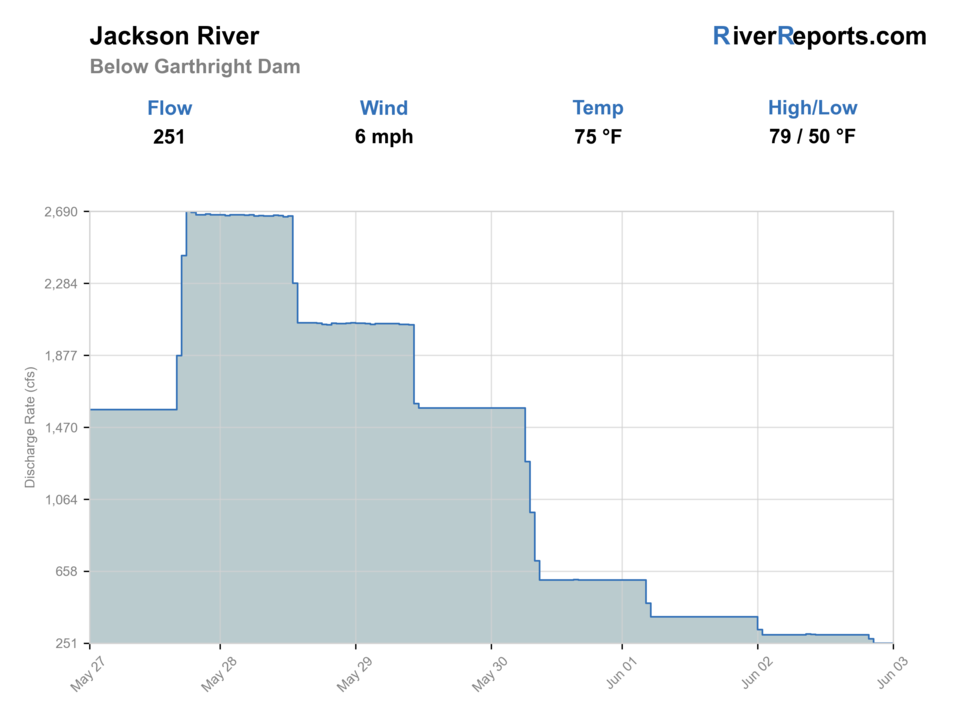
Showing the available RiverReports chart while the current structured flow series loads. Check the chart on RiverReports Opens in a new tab.
No single best way to fish. Wading and Bank fishing have the same top score. Use current access, footing, weather, and local rules to choose.
Rating updatedRiver local time:
USGS shows 197 cfs. The flow has been stable over about 6 hours. USGS marks this reading provisional and may revise it. USGS records for this date (1980-2026, 47 readings) show a median near 194 cfs and the upper quartile near 201 cfs; today's flow is on the high side for the date. This is near the high side of normal, so be careful about wading, clarity, and pushy current before calling it good.
NWS air forecast near
RiverReports gauge
Showing the available RiverReports chart while the current structured flow series loads. Check the chart on RiverReports Opens in a new tab.
Clear
The National Weather Service forecast is temporarily unavailable.
RiverReports gauge: Jackson River below Gathright Dam
Seasonal starting points, not a live hatch report. Match what you see on the water.
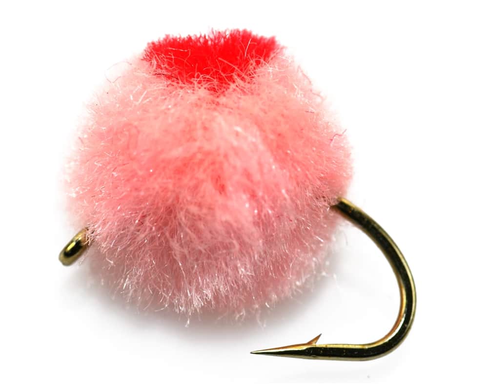
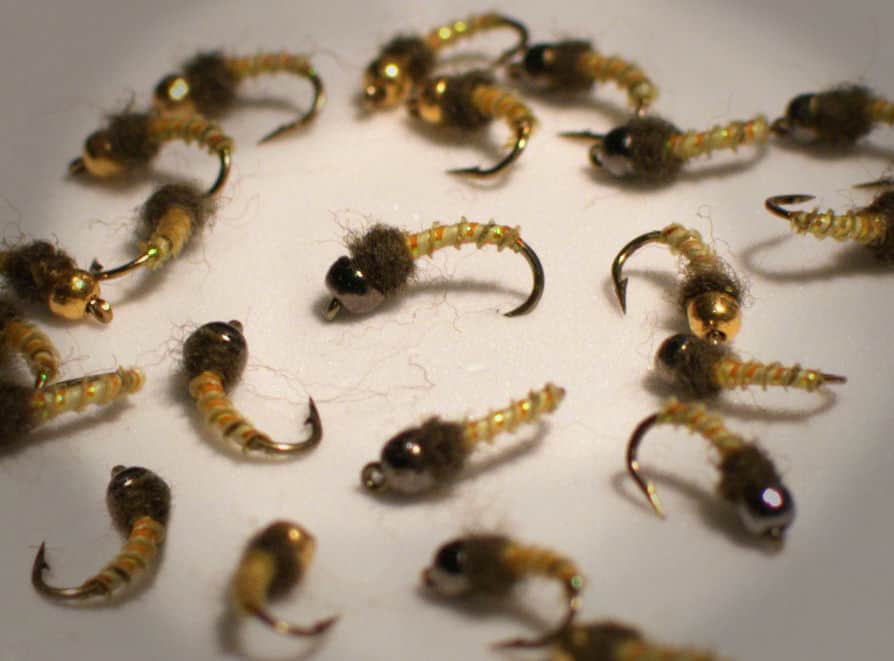
Also try scud, sowbug
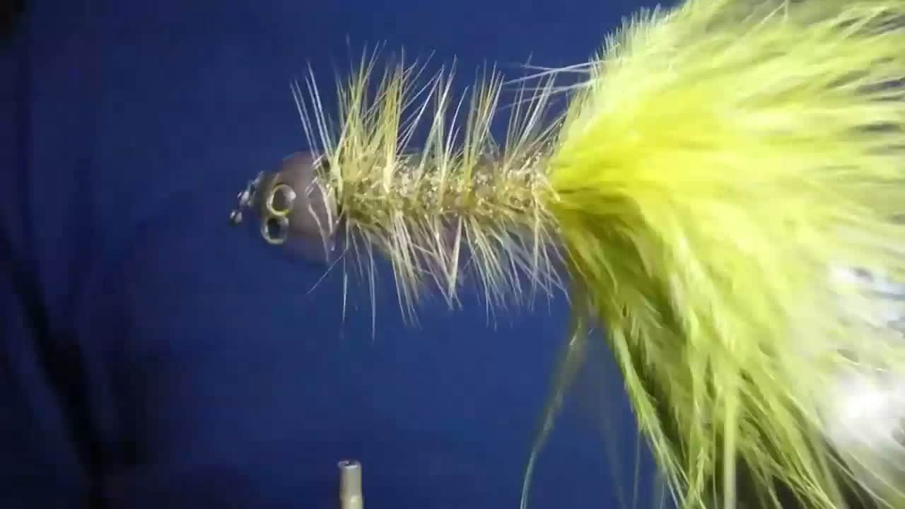
Each fly name opens its matching Fly Box guide.
A good lower Jackson day has stable tailwater flow, clear access, and water cold enough for trout handling. If the access question is unclear, move rather than guessing.
Use small flies, long leaders, and careful positioning.
Fish nymphs through seams and streamers along deeper cover.
Avoid committing to midstream ledges or islands with poor exits.
The tailwater can stay cooler, but always check temperature and handling stress.
Wading and Bank fishing have the same top score. Use current access, footing, weather, and local rules to choose.
Wading is in play only where your chosen access has clear footing, legal entry, and no forced crossings.
Bank and edge fishing remains a practical low-commitment option if access is legal and footing is safe.
This report does not recommend floating this reach.
Is Lower Jackson River worth the trip today? Check flow, weather, hatches, access, and rules for Virginia before you go.
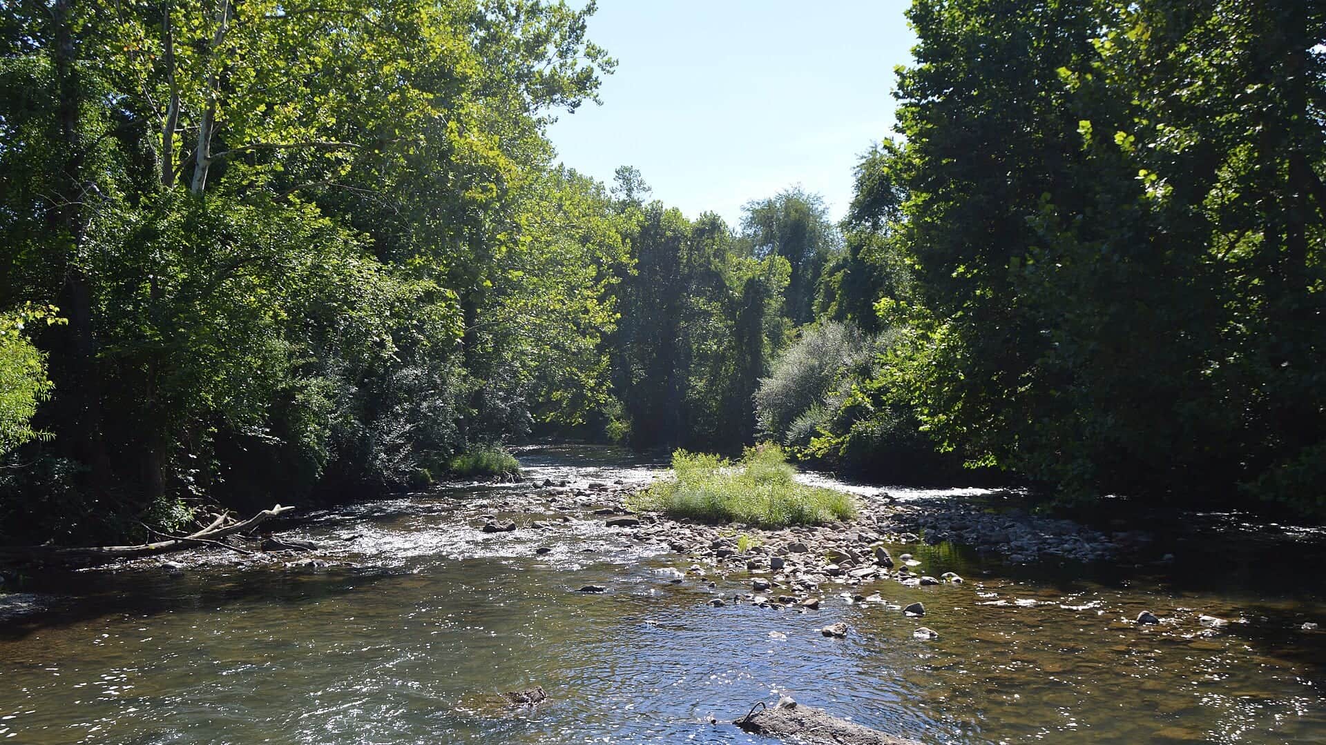
The lower Jackson can be excellent trout water, but it is also one of Virginia's more access-sensitive rivers. Match the tailwater flow to legal access and a conservative wading plan.
USGS shows 197 cfs. The flow has been stable over about 6 hours. USGS marks this reading provisional and may revise it. USGS records for this date (1980-2026, 47 readings) show a median near 194 cfs and the upper quartile near 201 cfs; today's flow is on the high side for the date. This is near the high side of normal, so be careful about wading, clarity, and pushy current before calling it good.
Fall: Streamer and nymph windows improve as fish respond to cooler conditions.
USGS water temperature is about 55.4F, and the rolling 24-hour high did not trigger a heat caution. USGS marks the temperature data provisional and may revise it.
No active NWS alert was returned for this forecast point.
Skip or change the trip when the below-dam gauge is rising, access depends on posted or private land, DWR rule language is unclear, storms are nearby, or warm-weather handling risk outweighs the trout opportunity.
Use RiverReports and USGS 02011800 below Gathright Dam as the main live trend. Stable or gradually falling water gives the cleanest trout window. Fast changes, rising water, or unclear release behavior should keep the plan close to shore or move it elsewhere.
Skip or change the trip when the below-dam gauge is rising, access depends on posted or private land, DWR rule language is unclear, storms are nearby, or warm-weather handling risk outweighs the trout opportunity.
Start with DWR rules and the Jackson River waterbody page, then match the below-Gathright flow to one legal access plan near Gathright, Covington, or Clifton Forge with a safe exit already chosen.
If the tailwater is high, crowded, access-limited, or rule-complicated, compare the upper Jackson River, Mossy Creek, or Upper James River before forcing the same reach.
Use these places as starting points. Open the access link below and check posted signs before you park or enter.
Check Virginia DWR lower Jackson River rules, access guidance, and posted signs before fishing below Gathright Dam.
Core scope for flow, safety, and tailwater trout planning.
Downstream context with different access and species considerations.
Use current DWR and local information rather than informal pullouts.
Official agencies and primary river operators come first. Secondary tools are labeled so you know what carries the most weight.
Check what is allowed, where the rule applies, and whether the river is open.
Check the latest river reading and forecast before you leave.
Check public entry points, land rules, and seasonal access changes.
Check what is allowed, where the rule applies, and whether the river is open.
Open the current rules and check the river section, season, and special limits.
Open the current rules and check the river section, season, and special limits.
Check the latest river reading and forecast before you leave.
Open this page and check the latest safety advice before your trip.
Open this river reading to check the latest level, flow, and update time.
Open this river reading to check the latest level, flow, and update time.
Check public entry points, land rules, and seasonal access changes.
Open the land or access page, then check signs before you park or enter.
What was checked: This report is maintained from current regulation, access, flow, weather, and public planning sources so anglers can make better trip decisions than a raw gauge or generic overview would allow.
Live measurements and forecasts keep their provider timestamps. Rules, access, and trip guidance use the source-review date shown here. BlueStreamFly planning advice is editorial interpretation, not an agency notice.
First-hand experience: BlueStreamFly does not claim a first-hand visit or local field test for this report unless a real contributor is explicitly named and linked.
Check DWR rules, below-Gathright flow, legal access, weather, and water temperature.
Start with mapped public access below Gathright Dam and avoid any private-bank shortcut.
Yes at safe flows and legal access points, but tailwater ledges and changing water demand caution.
Bring the seasonal fly box, then adjust size, weight, and color to the water level, clarity, temperature, and pressure you find.