7-day U.S. Geological Survey chart
Recent flow
Discharge
198 cfs112 cfs
Oct 15Oct 22
Latest reading: 126 cfs. Stable over about 6 hours. Chart covers Oct 15 through Oct 22; readings are provisional and may be revised.
No single best way to fish. Wading and Bank fishing have the same top score. Use current access, footing, weather, and local rules to choose.
Rating updatedRiver local time:
USGS shows 126 cfs. The flow has been stable over about 6 hours. USGS marks this reading provisional and may revise it. USGS records for this date (1921-2026, 76 readings) show a typical middle range of 89 cfs to 234 cfs. Flow is within the typical range for this date, so weather, temperature, and access become the next checks.
NWS air forecast near
This is an air forecast, not a river-temperature reading. Check the water with a stream thermometer before fishing in hot weather.
Discharge
Latest reading: 126 cfs. Stable over about 6 hours. Chart covers Oct 15 through Oct 22; readings are provisional and may be revised.
Sunny
The National Weather Service forecast is temporarily unavailable.
Current U.S. Geological Survey gauge: Little Pigeon River at Sevierville
Seasonal starting points, not a live hatch report. Match what you see on the water.
Each fly name opens its matching Fly Box guide.
The Little Pigeon is useful when you pick the right reach. Use Smokies-style dry-dropper tactics for wild trout water and smallmouth streamers or poppers for lower warmwater reaches.
Use dry-droppers, small nymphs, and short accurate casts.
Be careful with swift rises. Streamers can work when color is safe.
Fish poppers, crayfish, and baitfish patterns around ledges and shade.
Check temperature and switch away from trout if water is stressful.
Wading and Bank fishing have the same top score. Use current access, footing, weather, and local rules to choose.
Wading is in play only where your chosen access has clear footing, legal entry, and no forced crossings.
Bank and edge fishing remains a practical low-commitment option if access is legal and footing is safe.
This report does not recommend floating this reach.
Is Little Pigeon River worth the trip today? Check flow, weather, hatches, access, and rules for Tennessee before you go.
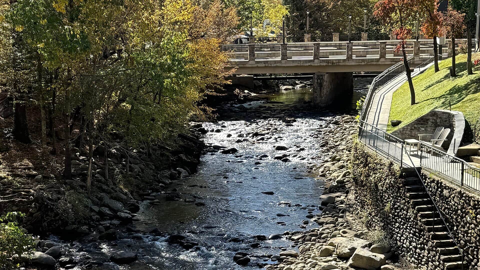
The Little Pigeon system changes from Smokies and West Prong trout water to lower river smallmouth and town access. USGS 03470000 is a main river Sevierville check, not a perfect reading for every park prong.
USGS shows 126 cfs. The flow has been stable over about 6 hours. USGS marks this reading provisional and may revise it. USGS records for this date (1921-2026, 76 readings) show a typical middle range of 89 cfs to 234 cfs. Flow is within the typical range for this date, so weather, temperature, and access become the next checks.
Fall: Cooler weather, lower crowds, and clear flows can improve trout fishing.
The current NWS air forecast is about 45F, and the next 24-hour high reaches about 72F. Sunny.
No active NWS alert was returned for this forecast point.
Skip or pivot when Smokies storms are building, the lower river is rising or stained, trout water is too warm, tourist or private-bank access is unclear, or the current NPS and TWRA rule context has not been checked.
Use USGS 03470000 at Sevierville for lower/main river trend and safety context. It does not replace checking West Prong, park-prong, town-water, or storm conditions in the exact reach.
Skip or pivot when Smokies storms are building, the lower river is rising or stained, trout water is too warm, tourist or private-bank access is unclear, or the current NPS and TWRA rule context has not been checked.
Start with the reach, then check NPS rules, TWRA exceptions, the Sevierville gauge, weather, and one legal access choice. Fish dry-droppers in mountain water, small streamers after safe rain bumps, and poppers or crayfish lower down.
If Little Pigeon water is high, crowded, too warm, or access-limited, compare Little River for Smokies trout context, Tellico River for another mountain trout option, or Watauga River for a tailwater alternative.
Use these places as starting points. Open the access link below and check posted signs before you park or enter.
Check TWRA exceptions, Gatlinburg trout rules, and Great Smoky Mountains National Park rules for the exact Little Pigeon reach before fishing.
Check NPS and TWRA/Gatlinburg rules before fishing.
USGS gauge context and lower-river smallmouth planning.
Use official park access and rules, not informal pullouts alone.
Official agencies and primary river operators come first. Secondary tools are labeled so you know what carries the most weight.
Check what is allowed, where the rule applies, and whether the river is open.
Check the latest river reading and forecast before you leave.
Check public entry points, land rules, and seasonal access changes.
Check what is allowed, where the rule applies, and whether the river is open.
Open the current rules and check the river section, season, and special limits.
Open the current rules and check the river section, season, and special limits.
Open the current rules and check the river section, season, and special limits.
Check the latest river reading and forecast before you leave.
Open this page and check the latest safety advice before your trip.
Open this river reading to check the latest level, flow, and update time.
Check public entry points, land rules, and seasonal access changes.
Open the land or access page, then check signs before you park or enter.
What was checked: This Little Pigeon River report is maintained from Tennessee Wildlife Resources Agency regulations and exception sources, Great Smoky Mountains National Park fishing rules, USGS Sevierville flow data, weather, media-credit, and Smokies-to-mainstem trout and smallmouth planning sources.
Live measurements and forecasts keep their provider timestamps. Rules, access, and trip guidance use the source-review date shown here. BlueStreamFly planning advice is editorial interpretation, not an agency notice.
First-hand experience: BlueStreamFly does not claim a first-hand visit or local field test for this report unless a real contributor is explicitly named and linked.
Check TWRA and NPS rules, USGS 03470000 for main river trend, weather, access, and water temperature.
Pick the reach first: West Prong or park trout water, Gatlinburg rules, or lower Sevierville smallmouth water.
Yes in many places at safe flows, but storm rises and private access make caution important.
Bring the seasonal fly box, then adjust size, weight, and color to water level, clarity, temperature, and fishing pressure.