RiverReports preview · current series loading
Recent flow
RiverReports gauge
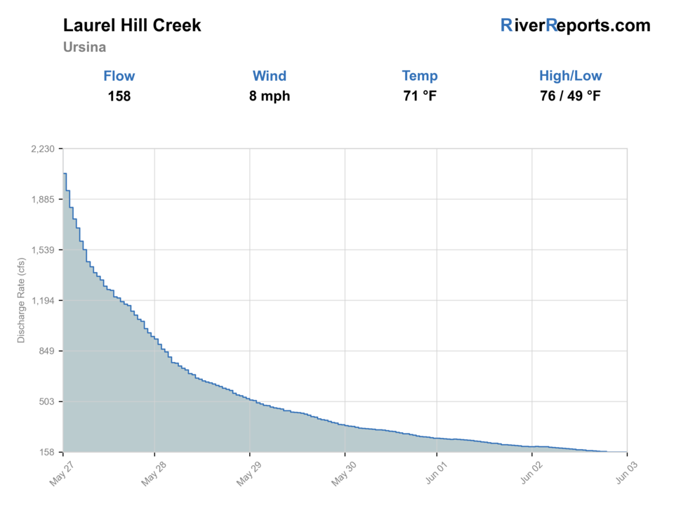
Showing the available RiverReports chart while the current structured flow series loads. Check the chart on RiverReports Opens in a new tab.
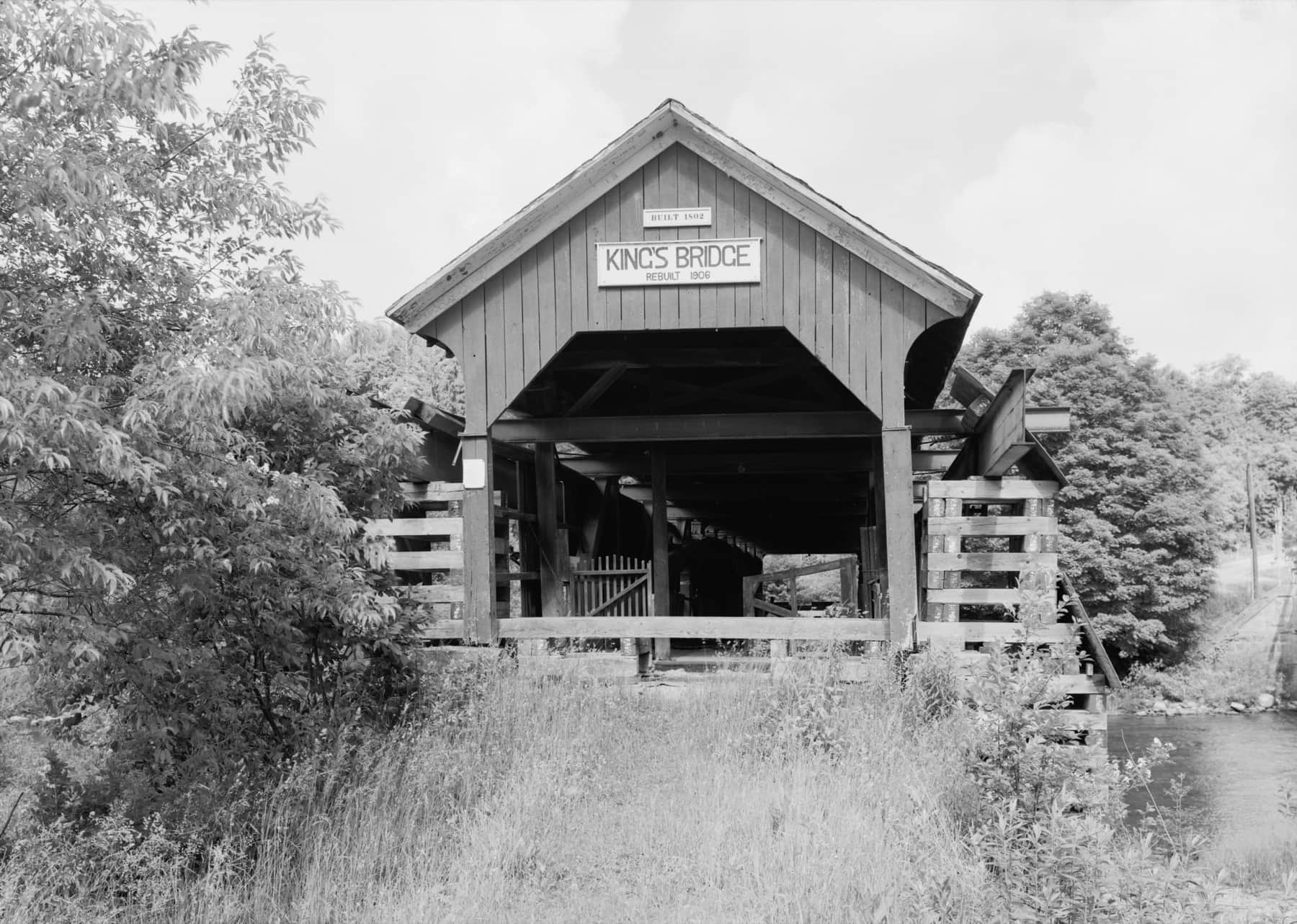
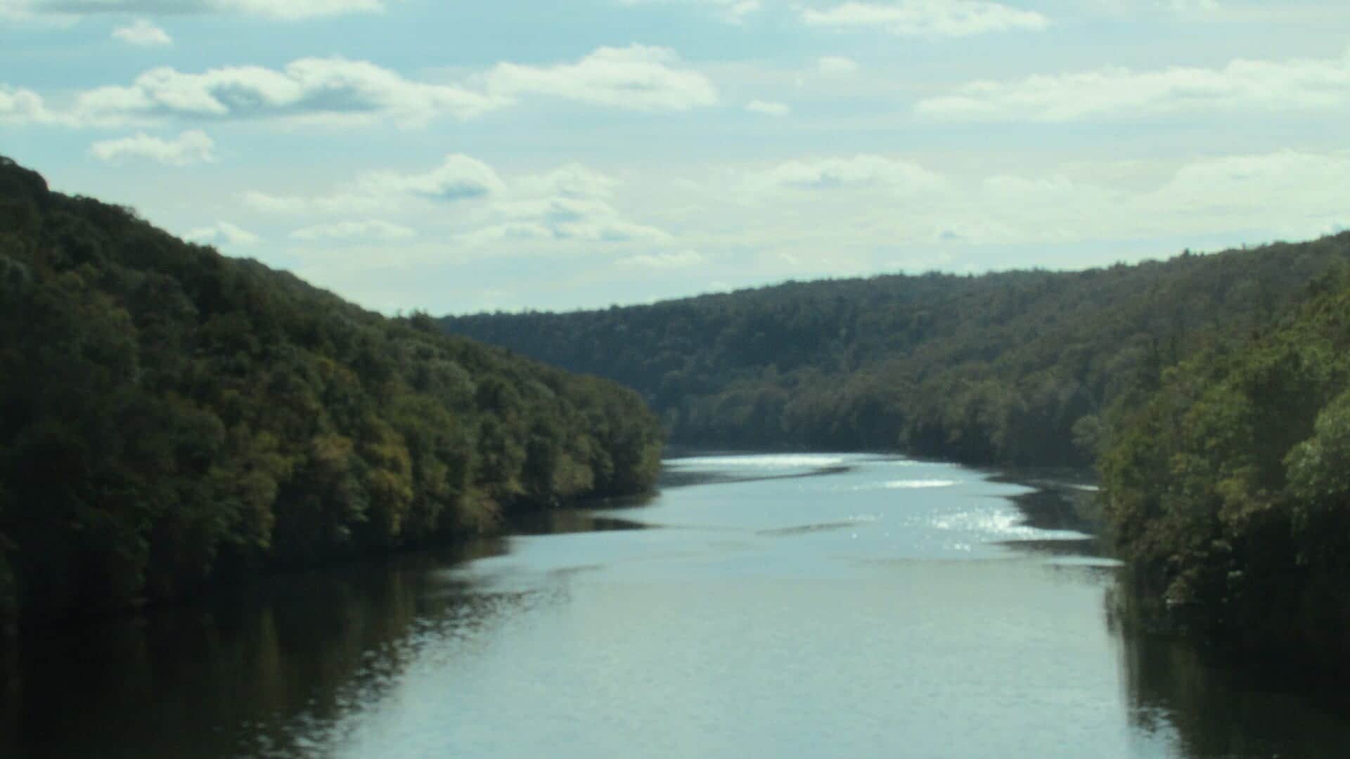
Photo: Historic American Engineering Record Opens in a new tab. · Public domain
No single best way to fish. Wading and Bank fishing have the same top score. Use current access, footing, weather, and local rules to choose.
Rating updatedRiver local time:
USGS shows 139 cfs. The flow has been stable over about 6 hours. USGS marks this reading provisional and may revise it. USGS records for this date (1919-2026, 108 readings) show a median near 51 cfs and the upper quartile near 145 cfs; today's flow is on the high side for the date. This is near the high side of normal, so be careful about wading, clarity, and pushy current before calling it good.
NWS air forecast near
This is an air forecast, not a river-temperature reading. Check the water with a stream thermometer before fishing in hot weather.
RiverReports gauge
Showing the available RiverReports chart while the current structured flow series loads. Check the chart on RiverReports Opens in a new tab.
Areas Of Frost
The National Weather Service forecast is temporarily unavailable.
RiverReports gauge: Laurel Hill Creek at Ursina
Seasonal starting points, not a live hatch report. Match what you see on the water.
Also try Trico, dry-dropper
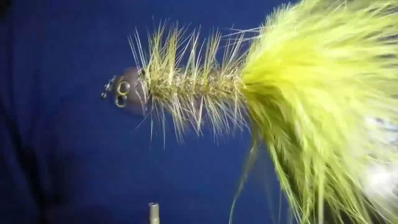
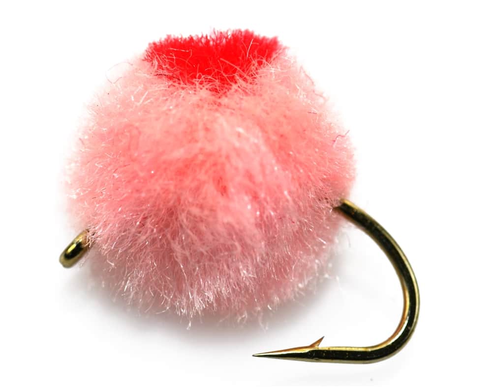
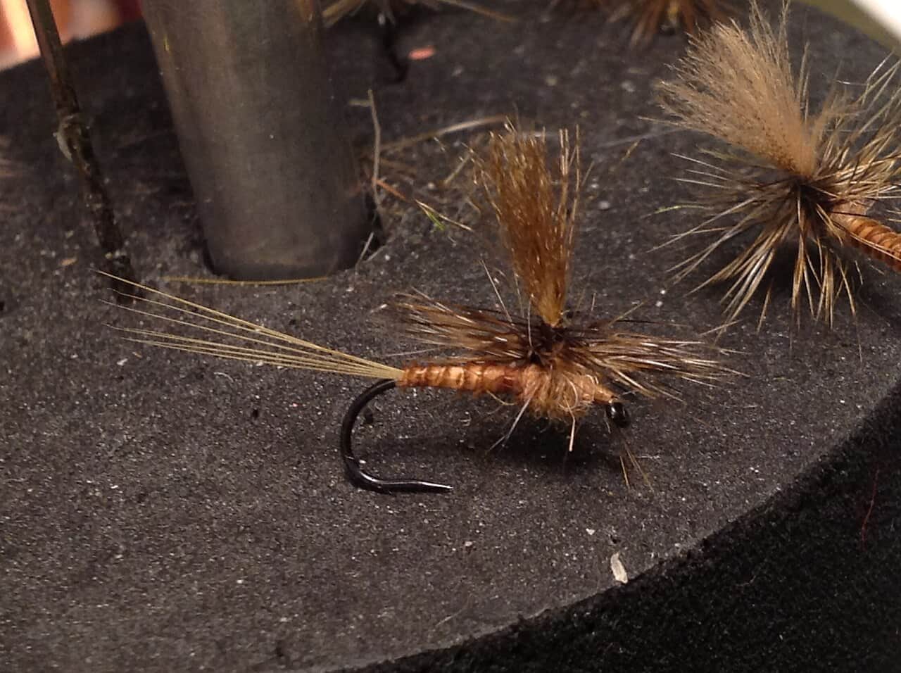
Each fly name opens its matching Fly Box guide.
The safest helpful plan is to fish cool, stable water and confirm the exact PFBC section. High water, warm afternoons, or uncertain reach rules should push you to a different plan.
Fish pocket water and riffle seams with nymphs, caddis, and mayfly emergers.
Use streamers and heavier nymphs from safe edges. Avoid risky crossings.
Fish early, use terrestrials, and stop if water is warm.
Slow down with midges, small stones, and soft hackles in deeper buckets.
Wading and Bank fishing have the same top score. Use current access, footing, weather, and local rules to choose.
Wading is in play only where your chosen access has clear footing, legal entry, and no forced crossings.
Bank and edge fishing remains a practical low-commitment option if access is legal and footing is safe.
This report does not recommend floating this reach.
Is Laurel Hill Creek worth the trip today? Check flow, weather, hatches, access, and rules for Pennsylvania before you go.
Laurel Hill Creek is a Laurel Highlands trout stream with several section types. RiverReports and USGS 03080000 help with the flow picture near Ursina, but the rule and access plan depends on the exact reach.
USGS shows 139 cfs. The flow has been stable over about 6 hours. USGS marks this reading provisional and may revise it. USGS records for this date (1919-2026, 108 readings) show a median near 51 cfs and the upper quartile near 145 cfs; today's flow is on the high side for the date. This is near the high side of normal, so be careful about wading, clarity, and pushy current before calling it good.
Fall: Cooler flows and lower pressure help nymphs and streamers.
The current NWS air forecast is about 36F, and the next 24-hour high reaches about 64F. Areas Of Frost.
No active NWS alert was returned for this forecast point.
Skip or pivot when Laurel Hill Creek is rising fast, warm for trout handling, stained after storms, crowded near obvious access, or when the intended bank or reach has not been confirmed as legal to fish.
Use RiverReports and USGS 03080000 at Ursina as the primary flow checks. Stable, cool, readable water is best. Sharp rises, stain, pushy pockets, or warm afternoons should narrow or cancel the trout plan.
Skip or pivot when Laurel Hill Creek is rising fast, warm for trout handling, stained after storms, crowded near obvious access, or when the intended bank or reach has not been confirmed as legal to fish.
Start with the Ursina gauge, PFBC rules, DCNR state-park fishing guidance, weather, and one legal access choice. Fish shaded riffles, pocket edges, and pool tails before moving to more exposed water.
If Laurel Hill Creek is high, warm, crowded, or access-limited, compare the Youghiogheny River for a larger system, Slippery Rock Creek for western Pennsylvania freestone water, or Oil Creek for another trout option.
Use these places as starting points. Open the access link below and check posted signs before you park or enter.
Check PFBC stocked trout, DHALO, and statewide trout rules for the exact Laurel Hill Creek section before fishing.
Useful access and logistics context. Verify current park and fishing rules.
Check exact PFBC section boundaries before fishing or keeping trout.
Primary flow reference for lower creek planning.
Official agencies and primary river operators come first. Secondary tools are labeled so you know what carries the most weight.
Check what is allowed, where the rule applies, and whether the river is open.
Check the latest river reading and forecast before you leave.
Check public entry points, land rules, and seasonal access changes.
Check what is allowed, where the rule applies, and whether the river is open.
Open the current rules and check the river section, season, and special limits.
Open the current rules and check the river section, season, and special limits.
Check the latest river reading and forecast before you leave.
Open this page and check the latest safety advice before your trip.
Open this river reading to check the latest level, flow, and update time.
Open this river reading to check the latest level, flow, and update time.
Check public entry points, land rules, and seasonal access changes.
Open the land or access page, then check signs before you park or enter.
What was checked: This Laurel Hill Creek report is maintained from RiverReports and USGS Ursina flow data, Pennsylvania Fish and Boat Commission regulations and stocking sources, DCNR Laurel Hill State Park fishing access guidance, weather, media-credit, and Laurel Highlands trout planning sources.
Live measurements and forecasts keep their provider timestamps. Rules, access, and trip guidance use the source-review date shown here. BlueStreamFly planning advice is editorial interpretation, not an agency notice.
First-hand experience: BlueStreamFly does not claim a first-hand visit or local field test for this report unless a real contributor is explicitly named and linked.
Check PFBC section rules, RiverReports, USGS 03080000, and water temperature before fishing.
Start with Laurel Hill State Park or verified public sections, then match the exact reach to the rule.
Yes at normal flows, but freestone footing and high water call for careful wading.
Bring the seasonal fly box, a few confidence nymphs or streamers, and enough tippet to change when flow, clarity, temperature, or pressure changes.