Wade, bank, and floatLimited data
Use the live sources and what you see at the river before choosing an approach.

Fly fishing report · West
A Nehalem River report for Oregon coast planning, with Foss flows, current ODFW trout guidance, public launch and bay access notes, and realistic cutthroat-first tactics.
Check flow & weatherCurrent USGS flow is 191 cfs and has been stable for about 6 hours. Today's flow is near the high side of the normal seasonal range, which tops out near 197 cfs. This is near the high side of normal, so be careful about wading, clarity, and pushy current before calling it good.
There is not enough reliable current information to recommend wading, bank fishing, or floating.
Use the live sources and what you see at the river before choosing an approach.
Check before you drive
Look at whether the river is rising or falling, then check wind, rain, and storms. These can change both safety and fishing.
Before you rely on this report
Conditions can change quickly. Check these dates before you decide to fish, and open the official source when safety or rules matter.
Priority river · checked more closely for freshness and source changes
High confidence in the current score inputs.
11 sources are listed below for you to open.
3 public access records are listed. Private spots are never shown.
Source checked Jul 30, 2026
Plan your access
These are public parking, launch, trail, or recreation areas—not secret fishing spots. We never show an angler's private pins, notes, or photos here.
Boat launch
Public launch and ramp conditions should be checked in the Marine Board access report before committing the day.
The Marine Board currently notes open lower-river launch options plus cautions about the Nehalem County Park ramp and Roy Creek mud and silt, so check the latest access report before towing or launching.
Nehalem Bay State Park provides a cleaner bayside access anchor than guessing at informal pull-offs when wind or tide become part of the plan.
Boat launch
Useful bayside access with a boat ramp and seasonal docks when lower-river or estuary planning fits the conditions.
The Marine Board currently notes open lower-river launch options plus cautions about the Nehalem County Park ramp and Roy Creek mud and silt, so check the latest access report before towing or launching.
Nehalem Bay State Park provides a cleaner bayside access anchor than guessing at informal pull-offs when wind or tide become part of the plan.
Boat launch
Good for cutthroat scouting when you want a lighter wade-and-cover plan instead of a launch day.
The Marine Board currently notes open lower-river launch options plus cautions about the Nehalem County Park ramp and Roy Creek mud and silt, so check the latest access report before towing or launching.
Nehalem Bay State Park provides a cleaner bayside access anchor than guessing at informal pull-offs when wind or tide become part of the plan.
How to fish it
ODFW's current Northwest Zone report says the Nehalem and North Fork Nehalem opened to trout on May 22 and have no shortage of places to fish. That makes the best Nehalem fly plan a public-access cutthroat day first, with sea-run and lower-river seasonal opportunities only when tide, clarity, and current updates actually line up.
USGS shows 191 cfs with a stable over about 6 hours trend. Today's flow is near the high side of the normal seasonal range, which tops out near 197 cfs. This is near the high side of normal, so be careful about wading, clarity, and pushy current before calling it good.
Trout and salmonids need extra handling discipline in this temperature window; consider warmwater targets where that matches the river and rules.
USGS water temperature is about 69F. Fish early and stop if handling stress is likely.
A heat alert is active near this forecast point, so the score is capped at caution until water temperature and fish-handling risk are checked. NWS alert: Heat Advisory issued August 2 at 10:16AM PDT until August 5 at 11:00PM PDT by NWS Portland OR.
Summer: The cleanest cutthroat season, especially early and late in the day on lighter presentations.
Read the water
The best Nehalem sessions come on stable or gently dropping flows when the river is clear enough to read wood, seams, and tidal influence without turning every approach into a muddy guess. If the river is brown, tidewater is blown out, or ramp conditions are poor, keep the day short or pick a smaller backup stream.
Best for reading woody banks, tailouts, and lower-basin soft water without chasing color all day.
Reduce expectations and focus on safe access because the Nehalem spreads out and loses clarity quickly.
Use lighter flies, longer leaders, and shade-focused presentations for basin cutthroat.
Match the session to launch timing and current direction instead of treating it like a simple upstream wade.
Your trip plan
Stable or gradually dropping flow with enough clarity to fish wood and seams confidently without turning the day into a tide-and-mud salvage operation.
Skip the trip when the river is brown, the ramp you need has current access issues, or strong wind and tide will keep you from fishing the lower river well.
Pick either an upper or middle-basin cutthroat circuit or a lower-river launch-and-cover day. Trying to sample both usually wastes more time than it saves.
The Wilson or Trask make better backups when you want clearer steelhead structure, while the Sandy is a stronger fallback if the coast goes fully muddy.
Hatches & flies
 Fly pattern · report suggests “Zebra midge”Zebra MidgeLook for a very slim tapered thread body, evenly spaced contrasting wire rib, a small bead, and no tail or wing. The reviewed classic is black with silver wire and a silver bead. Red, olive, brown, glass-bead, jig-hook, resin-coated, or tailed forms must remain labeled variations rather than replacing the classic identity.See photos & how to fish it ↗
 Fly family · report suggests “BWO emerger”Blue-Winged Olive PatternsBWO describes a hatch group, not one fly. Nymph, emerger, dry, cripple, and spinner profiles must stay separate because they occupy different parts of the water column.See family guide ↗+ 3 more reviewed guides in the Fly Box
  Fly pattern · report suggests “Elk hair caddis”Elk Hair CaddisLook for a tented elk- or deer-hair wing, clipped hair head, dubbed body, rib, and hackle palmered along the body. The body color should be labeled because tiers often match different natural caddis colors.See photos & how to fish it ↗
 Fly family · report suggests “caddis pupa”Caddis Pupa PatternsCaddis pupa is a life-stage family. Curved bodies, wing pads, legs, beads, and soft-hackle collars differ among exact patterns and must be labeled.See family guide ↗+ 3 more reviewed guides in the Fly Box
  Fly family · report suggests “Ant”Ant PatternsAnt patterns can be foam, fur-bodied, winged, or sunken. The narrow waist and paired body lobes matter more than one material recipe.See family guide ↗
 Fly family · report suggests “beetle”Beetle PatternsBeetle flies range from simple foam shells to hair-bodied and sunken forms. A rounded back and compact profile distinguish the family from ants and hoppers.See family guide ↗+ 4 more reviewed guides in the Fly Box
 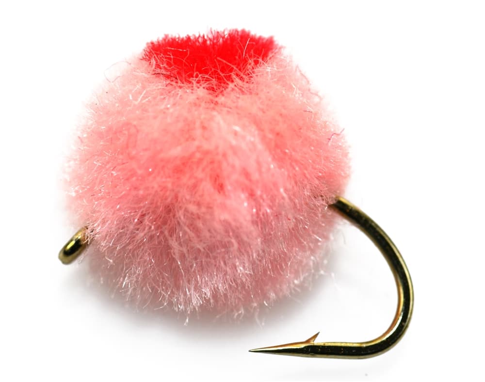 Fly family · report suggests “Egg pattern”Egg Fly PatternsEgg flies are tied to the hook. Round clipped-yarn eggs, sparkly chenille eggs, veiled eggs, single eggs, and clusters differ in material and silhouette; pegged or free-sliding beads are rigs, not fly patterns.See family guide ↗
 Fly family · report suggests “stonefly nymph”Stonefly Nymph PatternsStonefly nymph patterns generally emphasize two tails, a broad thorax, segmented abdomen, and bottom contact; rubber legs, biots, beads, and jig hooks define different exact forms.See family guide ↗+ 3 more reviewed guides in the Fly Box
 Pick a basin segment before you rig. Upper road-access pull-ins, mid-basin wood, and lower-river boat water are three different fishing days.
On stable summer flows, cover undercut wood, shade lines, and broken banks with a dry-dropper or light streamer before you overwork the middle of the channel.
If you are fishing lower in the system, use tide and launch windows to your advantage instead of forcing long dead-drift casts in moving estuary water.
When the river gains color, slow down and fish softer seams or tide-protected water rather than chasing every broad run you see on the map.
Rules & closures
Open the agency page to confirm the exact river section, species, season, tackle rules, limits, and emergency closures.
Official links checkedWe checked the state source but did not find a clearly supported exception for this river. Check the official rules for the exact section you plan to fish.
This summary helps with trip planning. The linked agency rule is the one you must follow.
Updates from anglers
Recent observations from general areas of Nehalem River. We review every update before it appears and never publish exact fishing spots, private access details, or photo locations.
You can still use the river plan above. Check back later for recent observations from other anglers.
Where this report comes from
Fishing guidance checked: Jun 3, 2026
Site check: Jul 14, 2026. We regularly test report links, live scores, flow and weather data, and page loading. The content date changes only when the fishing guidance or its sources change.
Common questions
Start with the Foss flow trend, then check the current ODFW Northwest Zone update and the Marine Board access report for the exact launch or ramp you want to use.
For most anglers it is a cutthroat-first plan built around stable flows and a realistic access zone. Add lower-river or sea-run goals only when tide, clarity, and current updates support them.
Not everywhere. Some sections suit short wades well, but the basin is broad, woody, and muddy enough that launch choice and selective bank coverage often beat all-day crossing attempts.
Skip it when the river is muddy, the ramp you need is in poor shape, or your entire plan depends on guessing about tidewater conditions.