RiverReports preview · current series loading
Recent flow
RiverReports gauge
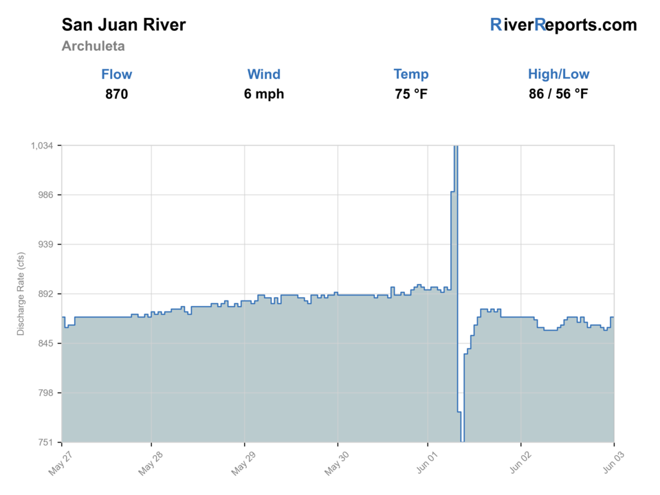
Showing the available RiverReports chart while the current structured flow series loads. Check the chart on RiverReports Opens in a new tab.
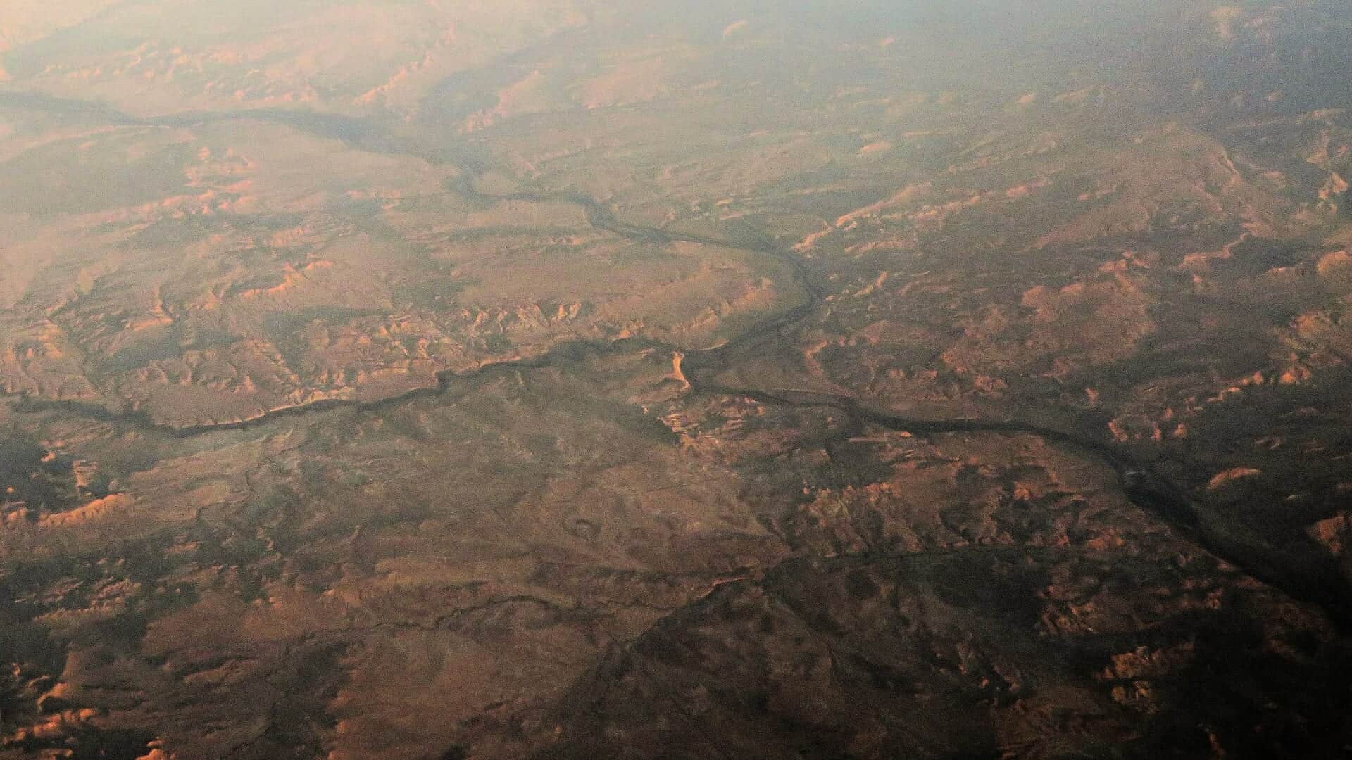
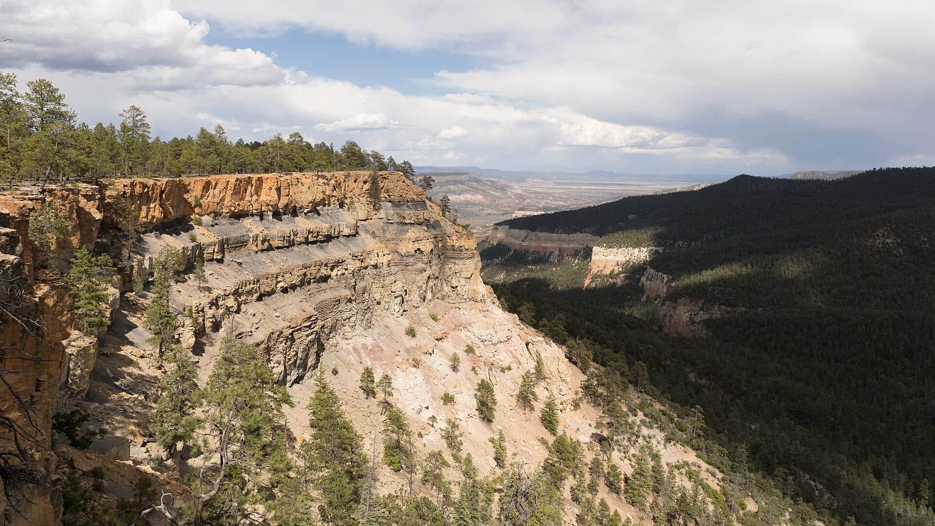
Photo: Ken Lund from Reno, Nevada, USA Opens in a new tab. · CC BY-SA 2.0
No access method is recommended today. Review the live conditions below before choosing another river or day.
Rating updatedRiver local time:
USGS shows 2,190 cfs. The flow has been rising about 90% over about 6 hours. USGS marks this reading provisional and may revise it. USGS records for this date (1963-2023, 61 readings) show a median near 557 cfs and a high-water marker near 1,570 cfs; today's flow is above that high-water marker. Treat this as high-water fishing: wading, clarity, crossings, and boat control need a conservative check.
Flash Flood Warning issued October 22 at 6:20PM MDT until October 22 at 11:45PM MDT by NWS Albuquerque NM
NWS air forecast near
RiverReports gauge
Showing the available RiverReports chart while the current structured flow series loads. Check the chart on RiverReports Opens in a new tab.
Showers And Thunderstorms
The National Weather Service forecast is temporarily unavailable.
RiverReports gauge: San Juan River near Archuleta
Seasonal starting points, not a live hatch report. Match what you see on the water.
Also try hopper-dropper, trico spinner
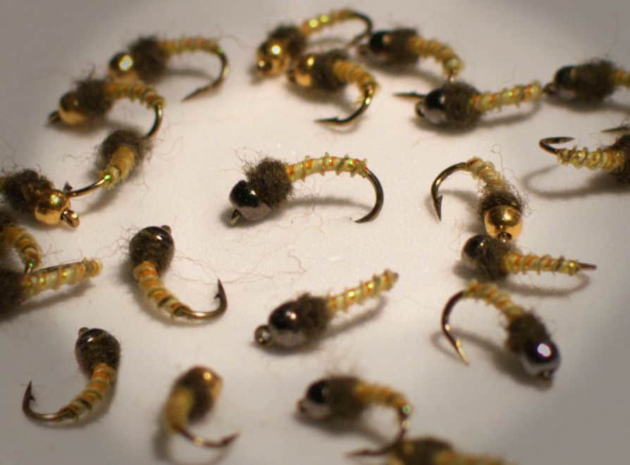
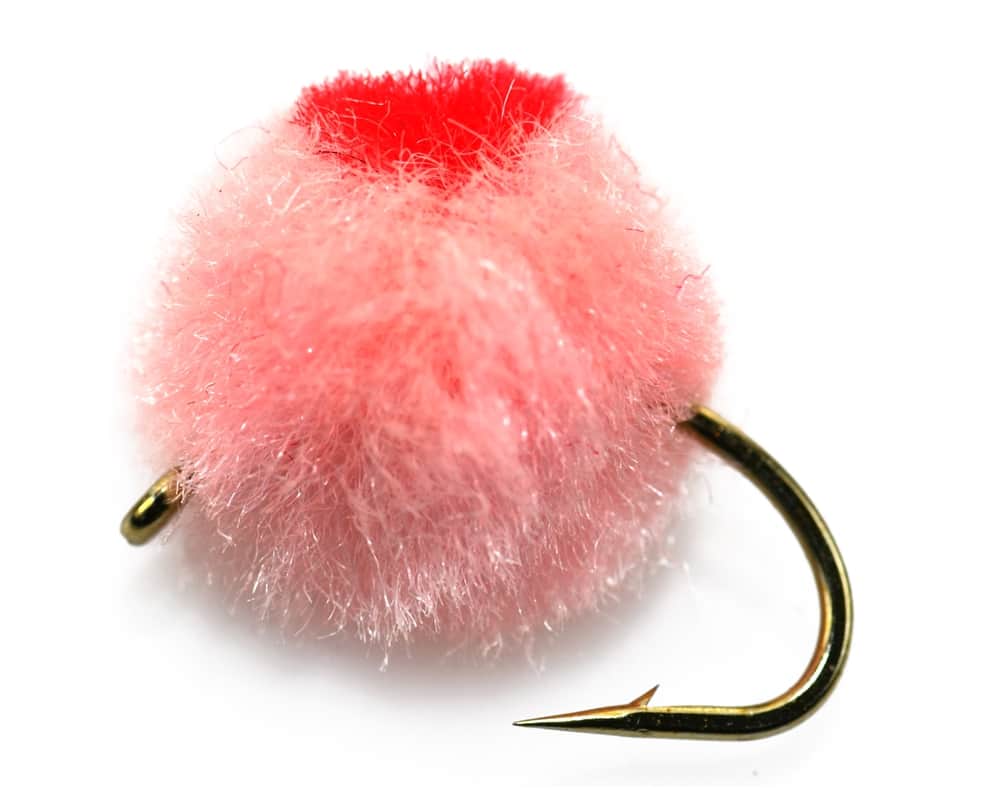
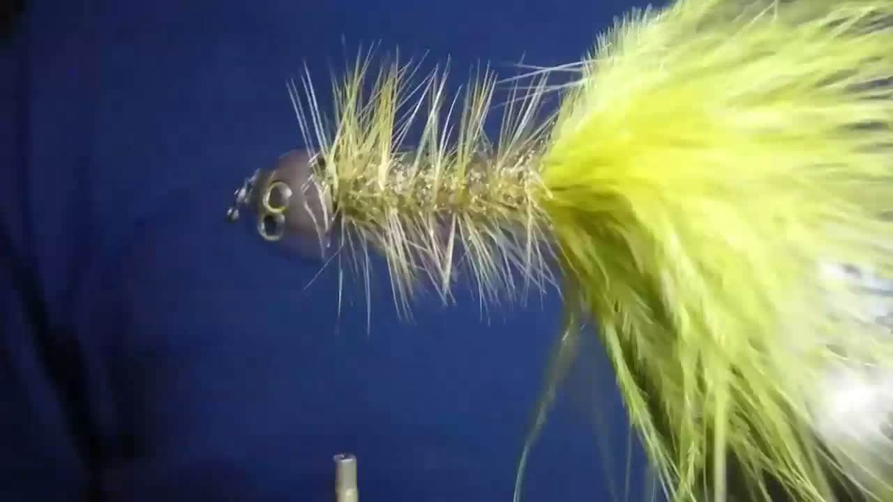
Each fly name opens its matching Fly Box guide.
The San Juan can fish year-round because Navajo Dam releases cold water, but flows, pressure, weeds, and weather decide the best tactic. Slow down, fish lighter, and change depth before changing every fly in the box.
Fish long midge or BWO drifts, adjust depth, and work feeding lanes patiently.
Use heavier rigs, protected edges, and avoid unsafe crossings.
Use smaller flies, lighter tippet, and longer leaders with clean presentations.
Clean flies often and fish lanes where rigs can drift without fouling.
No access method is recommended in today's conditions. Review the live river and weather checks before making another plan.
Not recommended today. Recheck the river, weather, and access before planning another trip.
Not recommended today. Recheck the river, weather, and access before planning another trip.
Not recommended today. Recheck the river, weather, and access before planning another trip.
Is San Juan River worth the trip today? Check flow, weather, hatches, access, and rules for New Mexico before you go.
The San Juan below Navajo Dam is one of New Mexico's best-known trout tailwaters. It rewards flow checks, small flies, long drifts, and careful handling more than blind casting.
USGS shows 2,190 cfs. The flow has been rising about 90% over about 6 hours. USGS marks this reading provisional and may revise it. USGS records for this date (1963-2023, 61 readings) show a median near 557 cfs and a high-water marker near 1,570 cfs; today's flow is above that high-water marker. Treat this as high-water fishing: wading, clarity, crossings, and boat control need a conservative check.
An active alert is in effect: Flash Flood Warning issued October 22 at 6:20PM MDT until October 22 at 11:45PM MDT by NWS Albuquerque NM. Check public safety sources before going.
The forecast has storm or heavy-precipitation risk, so timing and access matter more than the score alone.
Fall: Cooler weather, BWOs, streamers, and lighter pressure can improve the day.
USGS water temperature is about 50F, and the rolling 24-hour high did not trigger a heat caution. USGS marks the temperature data provisional and may revise it.
Use RiverReports Archuleta and USGS 09355500 as the primary release trend, then compare current Navajo Dam and state-park context before choosing a wade depth or boat day.
Skip exposed wading when releases rise, weeds make footing and drifts poor, winter weather adds ice risk, or the Quality Water rule and access boundary are not clear.
Start with the Archuleta gauge, NMDGF rules, and Navajo Lake State Park notices. Pick one access area, rig small midge/BWO options, and carry a backup plan for crowds.
If the San Juan is crowded, weedy, or release-complicated, compare the Chama, Pecos, or Cimarron reports before forcing a technical tailwater day.
Use these places as starting points. Open the access link below and check posted signs before you park or enter.
New Mexico lists the San Juan below Navajo Dam as Special Trout Water with Quality Water rules and tackle limits. Check the current NMDGF rule book and state park notices before fishing.
Primary special fishing rule tailwater focus for this report.
Well-known tailwater areas where crowds, drift quality, and etiquette matter.
Use current state park and NMDGF information before choosing a lower reach.
Official agencies and primary river operators come first. Secondary tools are labeled so you know what carries the most weight.
Check what is allowed, where the rule applies, and whether the river is open.
Check the latest river reading and forecast before you leave.
Check public entry points, land rules, and seasonal access changes.
Use these links for stocking, safety, and other local details.
Check what is allowed, where the rule applies, and whether the river is open.
Open the current rules and check the river section, season, and special limits.
Open the current rules and check the river section, season, and special limits.
Check the latest river reading and forecast before you leave.
Open this page and check the latest safety advice before your trip.
Open this river reading to check the latest level, flow, and update time.
Open this river reading to check the latest level, flow, and update time.
Check public entry points, land rules, and seasonal access changes.
Open the land or access page, then check signs before you park or enter.
Open the land or access page, then check signs before you park or enter.
Use these links for stocking, safety, and other local details.
Open this page for more river information and check when it was last updated.
What was checked: This report is maintained from current regulation, access, flow, weather, and public planning sources so anglers can make better trip decisions than a raw gauge or generic overview would allow.
Live measurements and forecasts keep their provider timestamps. Rules, access, and trip guidance use the source-review date shown here. BlueStreamFly planning advice is editorial interpretation, not an agency notice.
First-hand experience: BlueStreamFly does not claim a first-hand visit or local field test for this report unless a real contributor is explicitly named and linked.
Check the Navajo Dam release, Archuleta gauge, Quality Water rules, state park notices, and the NWS forecast.
Yes. The Quality Water and Special Trout Water rules are central to fishing this river legally.
Bring the hatch-chart flies, a small nymph box, and a few streamers. Then adjust for water temperature, clarity, pressure, and the insects or baitfish you actually see.
Yes in many tailwater areas, but releases, weeds, and cold water make conservative wading important.
Skip it when flows are unsafe, water is too warm for trout, emergency closures are active, or legal access for the reach is not clear.