RiverReports preview · current series loading
Recent flow
RiverReports gauge
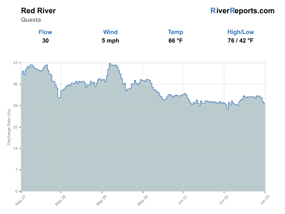
Showing the available RiverReports chart while the current structured flow series loads. Check the chart on RiverReports Opens in a new tab.
Best option: Wading. Wading is in play only where your chosen access has clear footing, legal entry, and no forced crossings.
Rating updatedRiver local time:
This month is not listed as a top seasonal window in this page's reviewed season notes. Use current regulations, flow, temperature, and access checks before treating the score as a slam dunk.
NWS air forecast near
RiverReports gauge
Showing the available RiverReports chart while the current structured flow series loads. Check the chart on RiverReports Opens in a new tab.
Partly Sunny
The National Weather Service forecast is temporarily unavailable.
RiverReports gauge: Red River below Fish Hatchery
Seasonal starting points, not a live hatch report. Match what you see on the water.
Also try hopper-dropper
Each fly name opens its matching Fly Box guide.
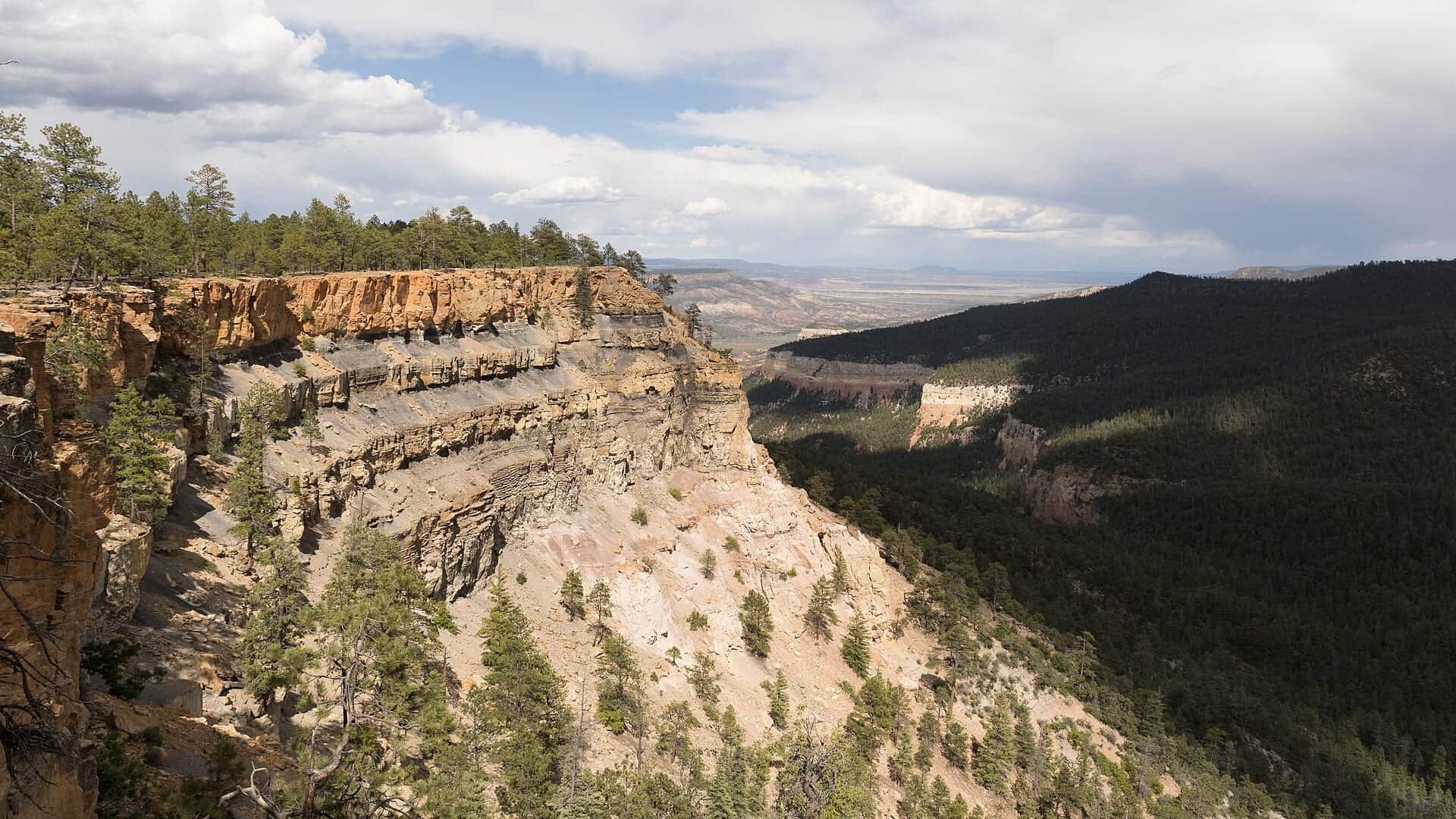
Upper Red River trout planning is strongest when flows are steady and cold enough for good trout handling. The lower canyon section is best saved for anglers who want a hiking day and are comfortable trading easy access for scenery and fewer casual anglers.
Best for dries, dry-droppers, and precise nymphing along banks and pocket water.
Upper roadside water may still offer a look, but the lower gorge loses value fast.
Fish early, use longer leaders, and move away from pressured easy-access pockets.
Small streamers and darker nymphs can beat tiny dries until clarity returns.
These scores compare the risks of wading, bank fishing, and floating.
Wading is in play only where your chosen access has clear footing, legal entry, and no forced crossings.
This report does not recommend bank fishing on this reach.
This report does not recommend floating this reach.
Is Red River worth the trip today? Check flow, weather, hatches, access, and rules for New Mexico before you go.
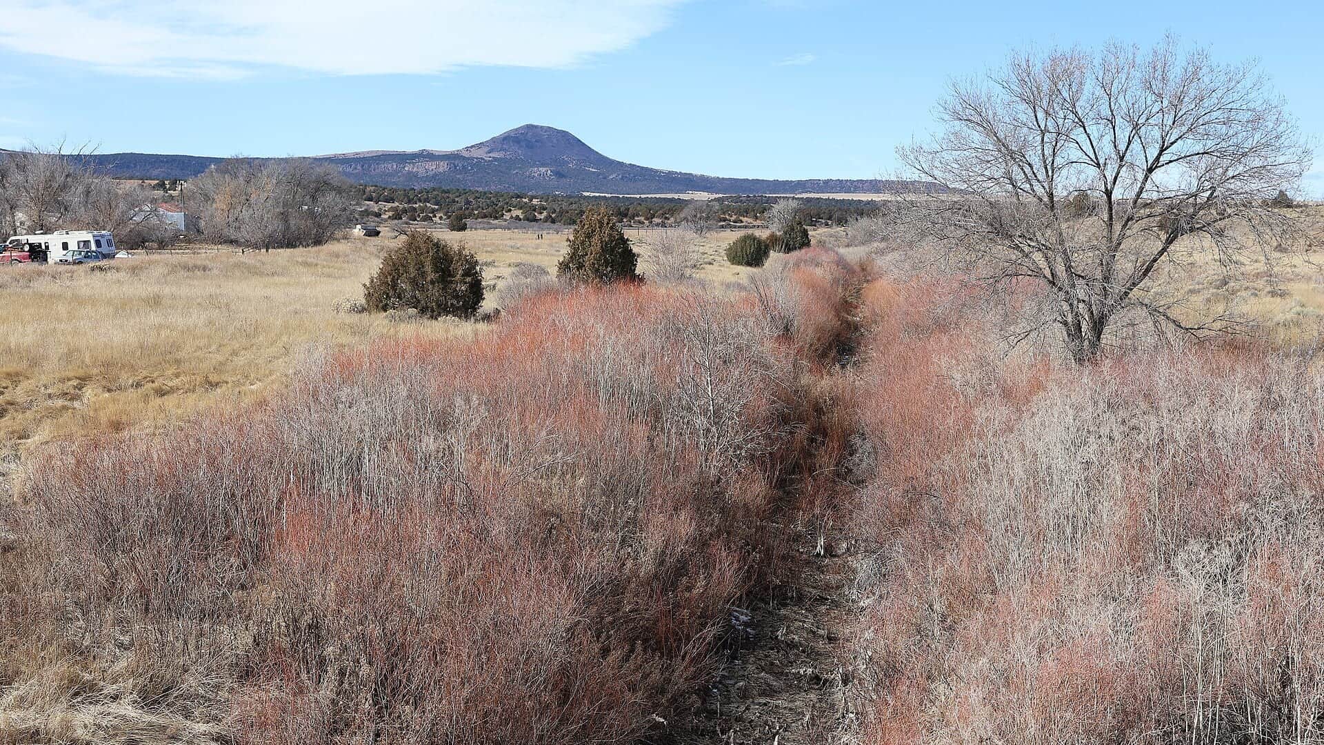
The Red River offers one of the cleaner first looks for northern New Mexico trout trips because the hatchery gauge and Carson access are simple to understand. What changes the plan is where you want to fish: town and forest water above Questa or the much steeper lower river in Wild Rivers country.
This month is not listed as a top seasonal window in this page's reviewed season notes. Use current regulations, flow, temperature, and access checks before treating the score as a slam dunk.
USGS shows 46 cfs. The flow has been stable over about 6 hours. USGS marks this reading provisional and may revise it. USGS records for this date (1979-2026, 48 readings) show a typical middle range of 40 cfs to 59 cfs. Flow is within the typical range for this date, so weather, temperature, and access become the next checks.
USGS water temperature is about 54F, and the rolling 24-hour high did not trigger a heat caution. USGS marks the temperature data provisional and may revise it.
No active NWS alert was returned for this forecast point.
Skip during sharp runoff, active lightning, trail-closure uncertainty, or when mid-day heat becomes the main trout-handling issue.
Stable clear flows that keep upper-river pocket water readable and make the lower-canyon hike worth the effort.
Skip during sharp runoff, active lightning, trail-closure uncertainty, or when mid-day heat becomes the main trout-handling issue.
Base in Red River or Questa, check the gauge first, then decide whether the easy upper river or the lower canyon gives you the better day.
Cimarron River, Pecos River, and Chama River are better backups than forcing a crowded or high Red River day.
Use these places as starting points. Open the access link below and check posted signs before you park or enter.
Confirm current New Mexico fishing rules and any special-trout-water restrictions before fishing the Red River. This page is a planning aid, not the rule digest.
Carson access with parking, river-adjacent fishing opportunity, and a simple first stop.
Town and forest access are convenient, but pressure can be highest here.
BLM hike-in access using the Arsenic trails while La Junta Trail remains closed.
Official agencies and primary river operators come first. Secondary tools are labeled so you know what carries the most weight.
Check what is allowed, where the rule applies, and whether the river is open.
Check the latest river reading and forecast before you leave.
Check public entry points, land rules, and seasonal access changes.
Check what is allowed, where the rule applies, and whether the river is open.
Open the current rules and check the river section, season, and special limits.
Check the latest river reading and forecast before you leave.
Open this page and check the latest safety advice before your trip.
Open this river reading to check the latest level, flow, and update time.
Open this river reading to check the latest level, flow, and update time.
Check public entry points, land rules, and seasonal access changes.
Open the land or access page, then check signs before you park or enter.
Open the land or access page, then check signs before you park or enter.
What was checked: This report starts with official regulation, flow, weather, and public-access sources, then adds practical planning guidance for fly anglers.
Live measurements and forecasts keep their provider timestamps. Rules, access, and trip guidance use the source-review date shown here. BlueStreamFly planning advice is editorial interpretation, not an agency notice.
First-hand experience: BlueStreamFly does not claim a first-hand visit or local field test for this report unless a real contributor is explicitly named and linked.
Use RiverReports for the quick chart and USGS 08266820 below the fish hatchery near Questa for the official gauge reference.
No. The lower Wild and Scenic section is a hike-in plan, and current BLM guidance routes access through the Arsenic trails while La Junta Trail is closed.
It is strongest when flows are steady, trout water stays cool, and you choose the reach that fits your day instead of forcing the lower canyon or the busiest roadside water.