Wade · Best fit82/100
Wading is in play only where your chosen access has clear footing, legal entry, and no forced crossings.
Fly fishing report · Southwest
A Rio Chama report for the El Vado and canyon corridor, with release-driven flow checks, trout tactics, access logistics, and regulations.
Check flow & weatherCurrent USGS flow is 100 cfs and has been stable for about 6 hours. Today's flow is below the normal seasonal range, which begins near 164 cfs. This is below normal, so edge depth, temperature, and pressure matter.
Compare wading, bank fishing, and floating before choosing how you will fish.
Wading is in play only where your chosen access has clear footing, legal entry, and no forced crossings.
Bank and edge fishing remains a practical low-commitment option if access is legal and footing is safe.
A float is in play where this report supports boat access and wind, releases, and shuttle logistics are manageable.
Check before you drive
Look at whether the river is rising or falling, then check wind, rain, and storms. These can change both safety and fishing.
Before you rely on this report
Conditions can change quickly. Check these dates before you decide to fish, and open the official source when safety or rules matter.
High confidence in the current score inputs.
7 sources are listed below for you to open.
3 public access records are listed. Private spots are never shown.
Source checked Jul 30, 2026
Plan your access
These are public parking, launch, trail, or recreation areas—not secret fishing spots. We never show an angler's private pins, notes, or photos here.
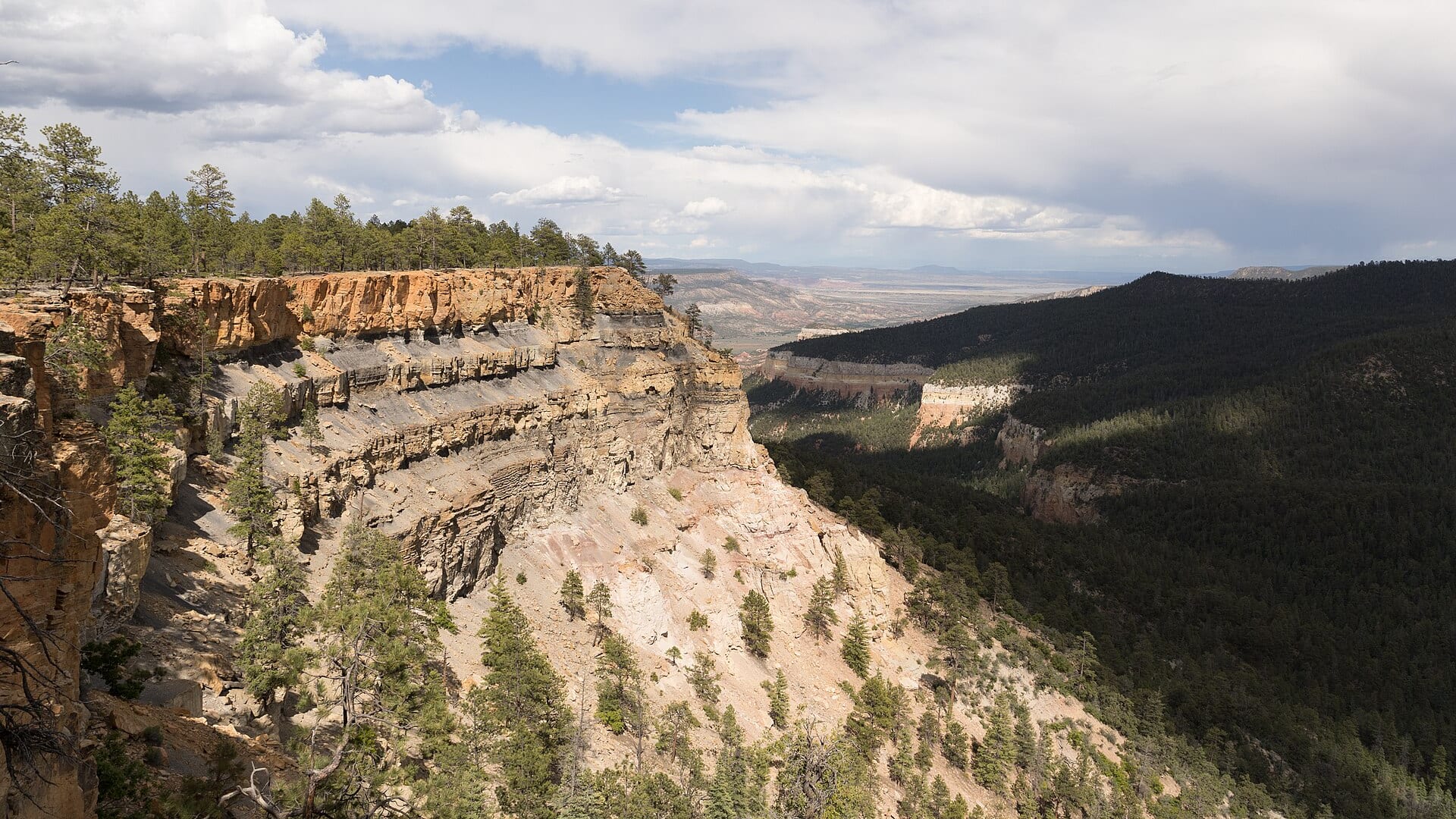
Area description
Primary flow and tailwater reference for this report.
BLM and USFS-managed canyon reaches can involve permits, fees, remote travel, and seasonal road issues.
Do not assume roadside pullouts create legal bank access across private land.
Boat launch
Use BLM/USFS information before planning boat or canyon logistics.
BLM and USFS-managed canyon reaches can involve permits, fees, remote travel, and seasonal road issues.
Do not assume roadside pullouts create legal bank access across private land.
Area description
Useful downstream context, but it is a different reach than the El Vado tailwater.
BLM and USFS-managed canyon reaches can involve permits, fees, remote travel, and seasonal road issues.
Do not assume roadside pullouts create legal bank access across private land.
How to fish it
The Rio Chama can fish well when releases are stable, roads are passable, and access is clear. A good plan starts with the El Vado gauge before choosing a wade, bank, or float day.
USGS shows 100 cfs with a stable over about 6 hours trend. Today's flow is below the normal seasonal range, which begins near 164 cfs. This is below normal, so edge depth, temperature, and pressure matter.
Early summer: Caddis, PMDs, and canyon float timing can line up when releases are friendly.
The NWS forecast is about 71F with Partly Cloudy.
No active NWS alert was returned for this forecast point.
Skip or simplify the trip when releases jump, roads are muddy, monsoon storms threaten, permits or access are unclear, or remote canyon conditions exceed the group's plan.
Read the water
Stable releases, cool weather, and clear enough water make the best Chama windows. If the release jumps, roads are muddy, or access is uncertain, save the canyon for a safer day.
Fish seams, ledges, and softer banks with dry-droppers, nymphs, and caddis.
Avoid aggressive wading and look for protected bank water only if access is safe.
Use darker streamers, larger nymphs, and short presentations near softer edges.
Lengthen leaders, downsize flies, and approach pools quietly.
Your trip plan
Use RiverReports and USGS 08285500 below El Vado as the primary release trend for this report, then check BLM river information and weather before entering the canyon.
Skip or simplify the trip when releases jump, roads are muddy, monsoon storms threaten, permits or access are unclear, or remote canyon conditions exceed the group's plan.
Start with the below-El-Vado flow, BLM Rio Chama information, New Mexico rules, and weather, then decide whether a short wade, bank session, or permitted float is realistic.
If the Chama is release-spiky, road-limited, or access-complicated, compare the San Juan, Pecos, or Cimarron before forcing a canyon trip.
Hatches & flies
 Fly pattern · report suggests “Zebra midge”Zebra MidgeLook for a very slim tapered thread body, evenly spaced contrasting wire rib, a small bead, and no tail or wing. The reviewed classic is black with silver wire and a silver bead. Red, olive, brown, glass-bead, jig-hook, resin-coated, or tailed forms must remain labeled variations rather than replacing the classic identity.See photos & how to fish it ↗
 Fly pattern · report suggests “RS2”RS2Start with the beadless architecture: two dark-dun Microfibett tails separated behind a slim, tightly twisted and visibly segmented dubbed abdomen; a fuller thorax; and saddle-hackle web clipped into a short angled wing bud. Rim Chung's original-style form uses natural beaver dubbing and hackle web. CDC- or Antron-wing ties, beads, curved hooks, flash, and tailless Avatar-style flies must remain labeled variations.See photos & how to fish it ↗+ 3 more reviewed guides in the Fly Box
  Fly pattern · report suggests “Elk hair caddis”Elk Hair CaddisLook for a tented elk- or deer-hair wing, clipped hair head, dubbed body, rib, and hackle palmered along the body. The body color should be labeled because tiers often match different natural caddis colors.See photos & how to fish it ↗
 Fly family · report suggests “PMD emerger”Pale Morning Dun PatternsPMD names an insect group, not one fly. Pale nymphs, trailing-shuck emergers, upright or low-riding duns, cripples, and spent-wing spinners stay visibly separate.See family guide ↗+ 3 more reviewed guides in the Fly Box
  Fly family · report suggests “Foam ant”Ant PatternsAnt patterns can be foam, fur-bodied, winged, or sunken. The narrow waist and paired body lobes matter more than one material recipe.See family guide ↗
 Fly family · report suggests “beetle”Beetle PatternsBeetle flies range from simple foam shells to hair-bodied and sunken forms. A rounded back and compact profile distinguish the family from ants and hoppers.See family guide ↗+ 2 more reviewed guides in the Fly Box
  Fly family · report suggests “Midge pupa”Midge Patterns by StageMidge wording can mean a threadlike larva, wing-padded pupa, film emerger, tiny adult, or visible cluster. Those profiles fish at different depths.See family guide ↗
 Fly family · report suggests “BWO”Blue-Winged Olive PatternsBWO describes a hatch group, not one fly. Nymph, emerger, dry, cripple, and spinner profiles must stay separate because they occupy different parts of the water column.See family guide ↗+ 3 more reviewed guides in the Fly Box
 Start with the El Vado gauge and decide whether the day is a short wade, bank session, or float-access plan.
Fish the inside edge of heavier current with a dry-dropper when releases are stable.
Use small midge and BWO patterns in slower tailwater slicks when the water is clear.
Switch to streamers or larger dark nymphs when release changes or storms add color.
Keep a second plan ready because canyon roads, permits, and release timing can matter as much as the hatch.
Rules & closures
Open the agency page to confirm the exact river section, species, season, tackle rules, limits, and emergency closures.
Official links checkedWe checked the state source but did not find a clearly supported exception for this river. Check the official rules for the exact section you plan to fish.
This summary helps with trip planning. The linked agency rule is the one you must follow.
Updates from anglers
Recent observations from general areas of Chama River. We review every update before it appears and never publish exact fishing spots, private access details, or photo locations.
You can still use the river plan above. Check back later for recent observations from other anglers.
Where this report comes from
Fishing guidance checked: May 31, 2026
Site check: Jul 14, 2026. We regularly test report links, live scores, flow and weather data, and page loading. The content date changes only when the fishing guidance or its sources change.
Common questions
Check the El Vado flow, road and weather conditions, BLM river information, and current New Mexico regulations.
Yes. The Chama drainage includes special rules and reach-specific details, so use the current NMDGF rule book.
Bring the hatch-chart flies, a small nymph box, and a few streamers. Then adjust for water temperature, clarity, pressure, and the insects or baitfish you actually see.
Yes in appropriate public reaches, but release changes and canyon access can make wading unsafe quickly.
Skip it when flows are unsafe, water is too warm for trout, emergency closures are active, or legal access for the reach is not clear.