Wade, bank, and floatLimited data
Use the live sources and what you see at the river before choosing an approach.
Fly fishing report · Northeast
A Savage River report for upper-system and Barton-area trout planning, forest access, flows, hatches, flies, regulations, and safe wading.
Check flow & weatherUSGS water temperature is about 69F. Fish early and stop if handling stress is likely.
There is not enough reliable current information to recommend wading, bank fishing, or floating.
Use the live sources and what you see at the river before choosing an approach.
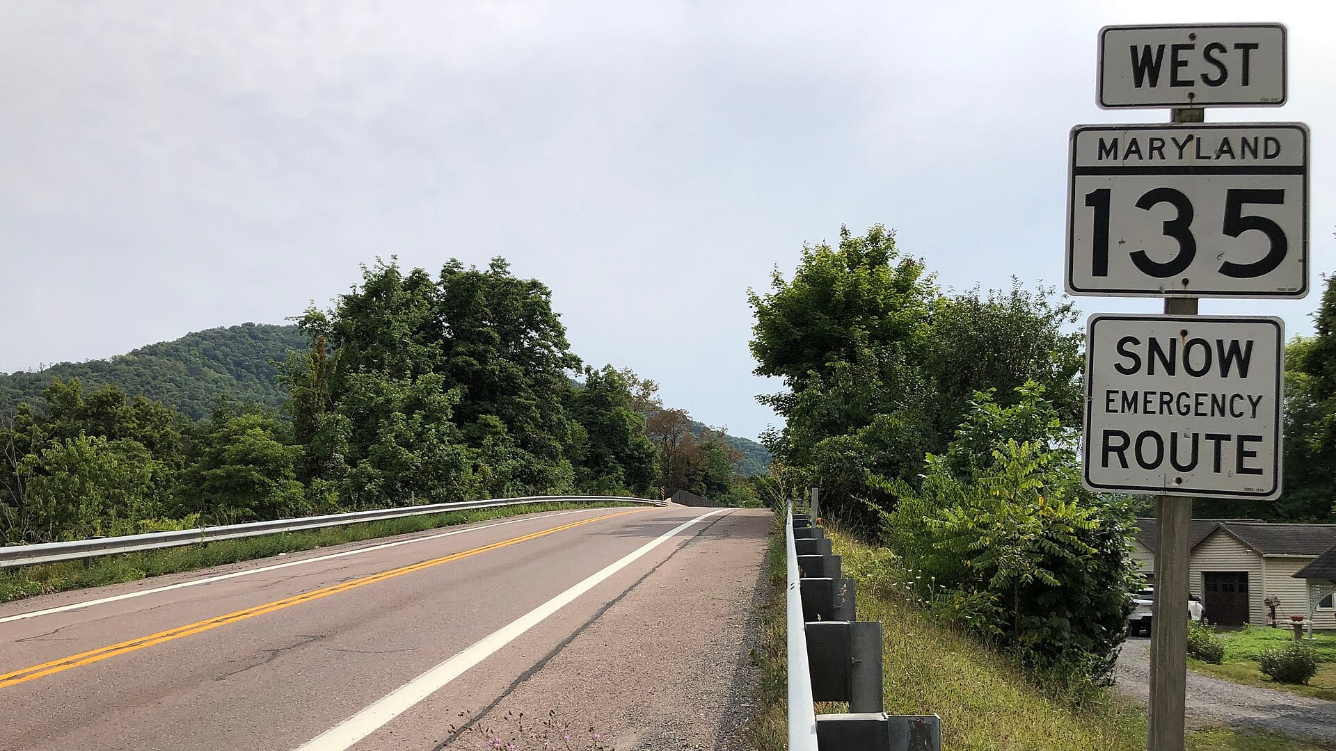
Check before you drive
Look at whether the river is rising or falling, then check wind, rain, and storms. These can change both safety and fishing.
Before you rely on this report
Conditions can change quickly. Check these dates before you decide to fish, and open the official source when safety or rules matter.
High confidence in the current score inputs.
5 sources are listed below for you to open.
3 public access records are listed. Private spots are never shown.
Source checked Jul 30, 2026
Plan your access
These are public parking, launch, trail, or recreation areas—not secret fishing spots. We never show an angler's private pins, notes, or photos here.
Parking
Useful for upper-system access, but check road condition and parking.
State forest access does not remove the need to check reach-specific regulations.
Avoid parking in ways that block gates, lanes, bridges, or emergency access.
Area description
Good for upper Savage context, not the same as lower tailwater flow below the dam.
State forest access does not remove the need to check reach-specific regulations.
Avoid parking in ways that block gates, lanes, bridges, or emergency access.
Area description
Useful in warm weather when legal and accessible, but protect small-water fish.
State forest access does not remove the need to check reach-specific regulations.
Avoid parking in ways that block gates, lanes, bridges, or emergency access.
How to fish it
This page focuses on upper and Barton-area Savage River planning. The lower tailwater below the reservoir has its own report and rule set, so check the exact reach before you fish.
USGS water temperature is about 69F. Fish early and stop if handling stress is likely.
The forecast has storm or heavy-precipitation risk, so timing and access matter more than the score alone.
A Flood Watch is active near this forecast point, so the score is capped until runoff, clarity, crossings, and road access are checked. NWS alert: Flood Watch issued August 2 at 3:50PM EDT until August 3 at 2:00AM EDT by NWS Baltimore MD/Washington DC.
USGS shows 8 cfs with a stable over about 6 hours trend. Today's flow is within the normal seasonal range of 4 cfs to 13 cfs. Weather, water temperature, and access are the next checks.
Early summer: Caddis, dry-dropper fishing, and cool mornings can be productive.
Read the water
The upper Savage fishes best when water is cold, clear enough to present small flies, and not so high that pocket water becomes unsafe. If temperatures rise, move to colder tributary-influenced water or stop.
Use short accurate drifts, dry-droppers, and small nymphs close to structure.
Fish banks and soft pockets; avoid climbing over slick rocks or wood.
Use a thermometer, fish early, and protect trout from repeated stress.
Small streamers and darker nymphs can help, but skip unsafe crossings.
Your trip plan
Use the Barton RiverReports and USGS flow as upper-watershed context, then match the reading to the exact pocket-water reach, recent rain, and road conditions.
Skip or shorten the day when the Barton flow is pushy, summer temperatures are climbing, forest roads are washed out, or you are not sure which Savage rule section you are standing in.
Start with the Barton flow and Maryland special-management rules, pick a short forest-road or tributary-influenced reach, and keep the lower tailwater as a separate plan.
If the upper Savage is too warm, high, or unclear by rule section, compare Savage River Lower, the North Branch Potomac, or Big Gunpowder Falls before forcing the day.
Hatches & flies
 Fly pattern · report suggests “Zebra midge”Zebra MidgeLook for a very slim tapered thread body, evenly spaced contrasting wire rib, a small bead, and no tail or wing. The reviewed classic is black with silver wire and a silver bead. Red, olive, brown, glass-bead, jig-hook, resin-coated, or tailed forms must remain labeled variations rather than replacing the classic identity.See photos & how to fish it ↗
 Fly family · report suggests “black stonefly nymph”Black Stonefly PatternsBlack stonefly wording is a color and insect-group label, not one exact recipe. Size, nymph versus adult stage, wing profile, and weighting must remain explicit.See family guide ↗+ 2 more reviewed guides in the Fly Box
  Fly family · report suggests “Hendrickson”Hendrickson PatternsHendrickson is a hatch name. Nymphs and emergers, upright or low-riding duns, and rusty spent spinners are different fly jobs.See family guide ↗
 Fly pattern · report suggests “elk hair caddis”Elk Hair CaddisLook for a tented elk- or deer-hair wing, clipped hair head, dubbed body, rib, and hackle palmered along the body. The body color should be labeled because tiers often match different natural caddis colors.See photos & how to fish it ↗+ 2 more reviewed guides in the Fly Box
  Fly family · report suggests “Caddis dry”Caddis Patterns by StageCaddis is not one fly. Larvae live below, pupae and emergers rise through the column, tent-wing adults ride or move on top, and spent forms create other silhouettes.See family guide ↗
 Fly family · report suggests “ant”Ant PatternsAnt patterns can be foam, fur-bodied, winged, or sunken. The narrow waist and paired body lobes matter more than one material recipe.See family guide ↗+ 2 more reviewed guides in the Fly Box
  Fly family · report suggests “BWO dry”Blue-Winged Olive PatternsBWO describes a hatch group, not one fly. Nymph, emerger, dry, cripple, and spinner profiles must stay separate because they occupy different parts of the water column.See family guide ↗
 Fly family · report suggests “soft hackle”Soft-Hackle Wet FliesA slim body and sparse webby feather collar define the family. Body material, tail, bead, and insect-specific color create different named patterns.See family guide ↗+ 3 more reviewed guides in the Fly Box
 Fish upstream, keep casts short, and avoid lining small pockets.
Use dry-droppers through riffles and pocket seams when fish are not rising.
Nymph deeper buckets with small natural flies before switching to streamers.
Move carefully around downed wood and slick shaded rocks.
Use the lower Savage report if your plan is the dam tailwater below the reservoir.
Rules & closures
Open the agency page to confirm the exact river section, species, season, tackle rules, limits, and emergency closures.
Official links checkedWe checked the state source but did not find a clearly supported exception for this river. Check the official rules for the exact section you plan to fish.
This summary helps with trip planning. The linked agency rule is the one you must follow.
Updates from anglers
Recent observations from general areas of Savage River. We review every update before it appears and never publish exact fishing spots, private access details, or photo locations.
You can still use the river plan above. Check back later for recent observations from other anglers.
Where this report comes from
Fishing guidance checked: May 31, 2026
Site check: Jul 14, 2026. We regularly test report links, live scores, flow and weather data, and page loading. The content date changes only when the fishing guidance or its sources change.
Common questions
Check the Barton gauge, state forest access, weather, and reach-specific Maryland trout rules first.
Yes. Savage River trout rules change by reach, and lower tailwater rules are separate.
Upper-system access can be practical, but forest roads, parking, and reach boundaries need checking.
Bring the hatch chart flies, a few confidence nymphs or baitfish patterns, and a backup selection for high, low, clear, stained, cold, or warm conditions.