Wade, bank, and floatLimited data
Use the live sources and what you see at the river before choosing an approach.
Fly fishing report · Northeast
A North Branch Potomac report for Jennings Randolph tailwater planning, border-water regulations, RiverReports flow, trout tactics, access, and safety.
Check flow & weatherCurrent USGS flow is 260 cfs and has been stable for about 6 hours. Today's flow is high for this date; the upper end of the normal range is near 259 cfs. Fishable water may exist, but do not rate it highly without a safe access, clarity, and wading or boat plan.
There is not enough reliable current information to recommend wading, bank fishing, or floating.
Use the live sources and what you see at the river before choosing an approach.
Check before you drive
Look at whether the river is rising or falling, then check wind, rain, and storms. These can change both safety and fishing.
Before you rely on this report
Conditions can change quickly. Check these dates before you decide to fish, and open the official source when safety or rules matter.
High confidence in the current score inputs.
6 sources are listed below for you to open.
3 public access records are listed. Private spots are never shown.
Source checked Jul 30, 2026
Plan your access
These are public parking, launch, trail, or recreation areas—not secret fishing spots. We never show an angler's private pins, notes, or photos here.
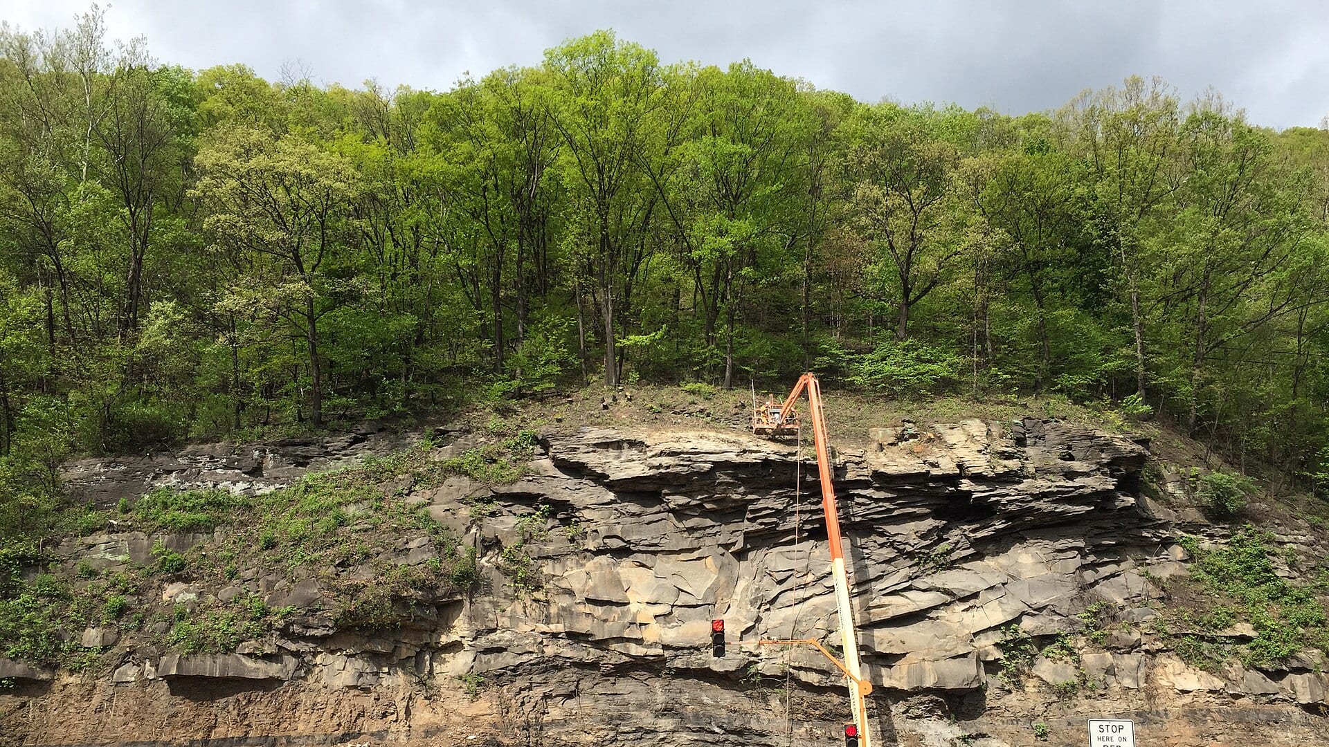
Area description
Primary upper flow-reference reach; check dam and rule context before fishing.
Maryland DNR and Potomac-Garrett sources are better than old pullout descriptions.
Border-water fishing can create rule confusion; check current state rules before harvesting fish.
Area description
Lower North Branch context with different gauge value and access planning.
Maryland DNR and Potomac-Garrett sources are better than old pullout descriptions.
Border-water fishing can create rule confusion; check current state rules before harvesting fish.
Area description
Useful for trip planning, but exact riverbank access still needs confirmation.
Maryland DNR and Potomac-Garrett sources are better than old pullout descriptions.
Border-water fishing can create rule confusion; check current state rules before harvesting fish.
How to fish it
The North Branch Potomac has upper tailwater and lower border-water sections with different gauges, access, and regulation details. Use Barnum for Jennings Randolph planning and Luke for lower context.
USGS shows 260 cfs with a stable over about 6 hours trend. Today's flow is high for this date; the upper end of the normal range is near 259 cfs. Fishable water may exist, but do not rate it highly without a safe access, clarity, and wading or boat plan.
The forecast has storm or heavy-precipitation risk, so timing and access matter more than the score alone.
A Flood Watch is active near this forecast point, so the score is capped until runoff, clarity, crossings, and road access are checked. NWS alert: Flood Watch issued August 2 at 3:50PM EDT until August 3 at 2:00AM EDT by NWS Baltimore MD/Washington DC.
Early summer: Caddis, mayflies, and stable flows can produce good trout windows.
USGS water temperature is about 58F, with no heat stop triggered.
Read the water
The North Branch fishes best when cold releases and stable flows create defined lanes without making wading dangerous. If the river is rising or too heavy, fish from safe edges or pick a smaller tributary.
Nymph deep seams, swing soft hackles, and cover pockets with careful wading.
Avoid mid-channel wading; use bank water or a safer backup reach.
Use longer leaders, smaller flies, and avoid repeated casts over the same fish.
Check temperature and move to colder water if trout handling becomes risky.
Your trip plan
Use RiverReports and USGS 01595800 at Barnum for upper tailwater planning, then compare USGS 01598500 at Luke when the lower corridor is part of the day. One gauge does not answer every reach.
Skip wading when releases are high or rising, border-water rules are unclear, the access point depends on private land, or boulder current and weather make exits uncertain.
Pick upper Barnum or lower Luke context first, check the Maryland special-management rule language, then choose a public access plan through Potomac-Garrett or a known corridor before tying on flies.
If the North Branch is too high, crowded, or access-limited, compare the lower Savage, upper Savage, or Big Gunpowder depending on travel range and target species.
Hatches & flies
 Fly pattern · report suggests “Zebra midge”Zebra MidgeLook for a very slim tapered thread body, evenly spaced contrasting wire rib, a small bead, and no tail or wing. The reviewed classic is black with silver wire and a silver bead. Red, olive, brown, glass-bead, jig-hook, resin-coated, or tailed forms must remain labeled variations rather than replacing the classic identity.See photos & how to fish it ↗
 Fly family · report suggests “black stonefly nymph”Black Stonefly PatternsBlack stonefly wording is a color and insect-group label, not one exact recipe. Size, nymph versus adult stage, wing profile, and weighting must remain explicit.See family guide ↗+ 2 more reviewed guides in the Fly Box
  Fly family · report suggests “Hendrickson”Hendrickson PatternsHendrickson is a hatch name. Nymphs and emergers, upright or low-riding duns, and rusty spent spinners are different fly jobs.See family guide ↗
 Fly pattern · report suggests “elk hair caddis”Elk Hair CaddisLook for a tented elk- or deer-hair wing, clipped hair head, dubbed body, rib, and hackle palmered along the body. The body color should be labeled because tiers often match different natural caddis colors.See photos & how to fish it ↗+ 2 more reviewed guides in the Fly Box
  Fly family · report suggests “Caddis dry”Caddis Patterns by StageCaddis is not one fly. Larvae live below, pupae and emergers rise through the column, tent-wing adults ride or move on top, and spent forms create other silhouettes.See family guide ↗
 Fly family · report suggests “ant”Ant PatternsAnt patterns can be foam, fur-bodied, winged, or sunken. The narrow waist and paired body lobes matter more than one material recipe.See family guide ↗+ 2 more reviewed guides in the Fly Box
  Fly family · report suggests “BWO dry”Blue-Winged Olive PatternsBWO describes a hatch group, not one fly. Nymph, emerger, dry, cripple, and spinner profiles must stay separate because they occupy different parts of the water column.See family guide ↗
 Fly family · report suggests “soft hackle”Soft-Hackle Wet FliesA slim body and sparse webby feather collar define the family. Body material, tail, bead, and insect-specific color create different named patterns.See family guide ↗+ 3 more reviewed guides in the Fly Box
 Decide whether you are fishing the Barnum tailwater area or lower Luke/Westernport water.
Nymph boulder seams and pool heads with enough weight to control depth.
Swing streamers and soft hackles through slower tailouts when flows allow.
Cross only where you can return safely if releases or weather change.
Respect posted private land and do not assume every bank is legal access.
Rules & closures
Open the agency page to confirm the exact river section, species, season, tackle rules, limits, and emergency closures.
Official links checkedWe checked the state source but did not find a clearly supported exception for this river. Check the official rules for the exact section you plan to fish.
This summary helps with trip planning. The linked agency rule is the one you must follow.
Updates from anglers
Recent observations from general areas of North Branch Potomac. We review every update before it appears and never publish exact fishing spots, private access details, or photo locations.
You can still use the river plan above. Check back later for recent observations from other anglers.
Where this report comes from
Fishing guidance checked: Jul 6, 2026
Site check: Jul 14, 2026. We regularly test report links, live scores, flow and weather data, and page loading. The content date changes only when the fishing guidance or its sources change.
Common questions
Check Barnum and Luke flows, the weather forecast, and current Maryland trout special-area rules first.
Yes. Several sections have catch-and-return, artificial-lure, and boundary-specific rules.
Some access is practical, but it is a larger border river with private land, boulders, and reach-specific planning.
Bring the hatch chart flies, a few confidence nymphs or baitfish patterns, and a backup selection for high, low, clear, stained, cold, or warm conditions.