WadeNot advised
Wading is the most sensitive plan today. Use protected edges only, avoid crossings, and downgrade quickly if clarity or current feels wrong.
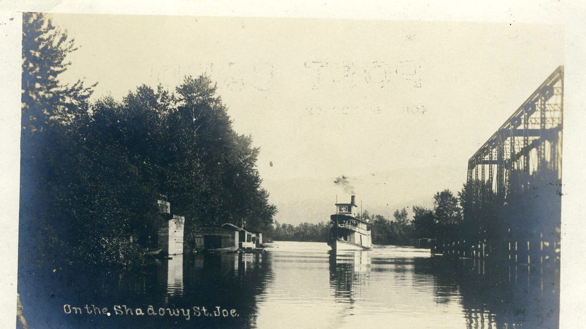
Fly fishing report · West
A St. Joe River report for Calder flows, lower road access, upper Wild and Scenic water, cutthroat rules, hatches, dry flies, road planning, and source-checked safety.
Check flow & weatherCurrent USGS flow is 511 cfs and has been stable for about 6 hours. Today's flow is below the normal seasonal range, which begins near 575 cfs. This is below normal, so edge depth, temperature, and pressure matter.
Compare wading, bank fishing, and floating before choosing how you will fish.
Wading is the most sensitive plan today. Use protected edges only, avoid crossings, and downgrade quickly if clarity or current feels wrong.
Bank and edge fishing is the safer default when water is high, pushy, or not fully verified.
This report does not describe this as a primary mode. Verify legal access, depth, launches, and retreat options before planning around it.
Check before you drive
Look at whether the river is rising or falling, then check wind, rain, and storms. These can change both safety and fishing.
Before you rely on this report
Conditions can change quickly. Check these dates before you decide to fish, and open the official source when safety or rules matter.
High confidence in the current score inputs.
6 sources are listed below for you to open.
4 public access records are listed. Private spots are never shown.
Source checked Jul 30, 2026
Plan your access
These are public parking, launch, trail, or recreation areas—not secret fishing spots. We never show an angler's private pins, notes, or photos here.
Area description
The main flow-reference point and lower-river planning anchor.
Rules differ by lower and upper reaches.
Spring runoff can make familiar wades unsafe.
Boat launch
Roaded access with services, campgrounds, and upper-river launch points.
Rules differ by lower and upper reaches.
Spring runoff can make familiar wades unsafe.
Roadside access
Upper-corridor access where road and weather conditions matter.
Rules differ by lower and upper reaches.
Spring runoff can make familiar wades unsafe.
Area description
A more remote cutthroat plan with stronger self-sufficiency needs.
Rules differ by lower and upper reaches.
Spring runoff can make familiar wades unsafe.
How to fish it
The St. Joe is a cutthroat-first Idaho river with easy roaded access in places and more remote upper water above. Flow, road conditions, and reach-specific rules decide whether it should be a quick dry-fly day or a remote plan.
USGS shows 511 cfs with a stable over about 6 hours trend. Today's flow is below the normal seasonal range, which begins near 575 cfs. This is below normal, so edge depth, temperature, and pressure matter.
An Air Quality Alert is active near this forecast point, so the score is capped at caution until smoke and access conditions are checked. NWS alert: Air Quality Alert issued August 2 at 5:42PM PDT by NWS Spokane WA.
Bank / edge: Bank and edge fishing is the safer default when water is high, pushy, or not fully verified.
Summer: Prime dry-fly cutthroat season with caddis, stones, and terrestrials.
The NWS forecast is about 73F with Haze.
Read the water
The St. Joe is best after runoff drops, water stays cool, and cutthroat are willing to rise. If the river is high or access is questionable, wait or choose a lower-risk nearby river.
Best for attractor dries, caddis, and dry-droppers in riffles and pocket water.
Avoid unsafe wading and wait for the Calder gauge to settle.
Use stealth, smaller dries, and lighter tippet in visible pools.
Move higher, fish early, and stop if trout recovery is poor.
Your trip plan
Use the RiverReports Calder chart and USGS 12414500 together. Stable or slowly falling post-runoff flows are the best window; high snowmelt, storm color, or warm low water should move the plan to safer edges, a different reach, or another river.
Skip the trip when cutthroat rules are unclear, when runoff makes wading unsafe, when forest-road or weather conditions make the upper corridor risky, when access signs do not support the bank you planned to fish, or when warm low water would stress trout.
Start with the Calder and Avery corridor for the most practical read on flows and access, then decide whether the day fits roaded lower water, campground-based fishing, or a more remote upper-river scout.
If the St. Joe is high, warm, crowded, or access-limited, compare the Coeur d'Alene River, Clearwater River, or Silver Creek after checking current rules, flows, and travel time.
Hatches & flies
 Fly family · report suggests “BWO emerger”Blue-Winged Olive PatternsBWO describes a hatch group, not one fly. Nymph, emerger, dry, cripple, and spinner profiles must stay separate because they occupy different parts of the water column.See family guide ↗
 Fly pattern · report suggests “zebra midge”Zebra MidgeLook for a very slim tapered thread body, evenly spaced contrasting wire rib, a small bead, and no tail or wing. The reviewed classic is black with silver wire and a silver bead. Red, olive, brown, glass-bead, jig-hook, resin-coated, or tailed forms must remain labeled variations rather than replacing the classic identity.See photos & how to fish it ↗+ 2 more reviewed guides in the Fly Box
  Fly pattern · report suggests “Elk hair caddis”Elk Hair CaddisLook for a tented elk- or deer-hair wing, clipped hair head, dubbed body, rib, and hackle palmered along the body. The body color should be labeled because tiers often match different natural caddis colors.See photos & how to fish it ↗
 Fly pattern · report suggests “stimulator”StimulatorLook for a hair tail, dubbed abdomen with palmered hackle, tented hair wing, contrasting front hackle, and bright thorax or head. Colors and sizes vary widely and must remain labeled.See photos & how to fish it ↗+ 2 more reviewed guides in the Fly Box
  Fly family · report suggests “Hopper”Grasshopper PatternsHopper patterns share a substantial body and long rear-leg impression, but foam, deer hair, wing construction, and waterline differ widely among named patterns.See family guide ↗
 Fly family · report suggests “ant”Ant PatternsAnt patterns can be foam, fur-bodied, winged, or sunken. The narrow waist and paired body lobes matter more than one material recipe.See family guide ↗+ 3 more reviewed guides in the Fly Box Fly family · report suggests “BWO dry”Blue-Winged Olive PatternsBWO describes a hatch group, not one fly. Nymph, emerger, dry, cripple, and spinner profiles must stay separate because they occupy different parts of the water column.See family guide ↗
 Fly family · report suggests “soft hackle”Soft-Hackle Wet FliesA slim body and sparse webby feather collar define the family. Body material, tail, bead, and insect-specific color create different named patterns.See family guide ↗+ 2 more reviewed guides in the Fly Box
 Wait for runoff to drop before planning a dry-fly cutthroat day.
Fish attractor dries through riffles and pocket water in summer.
Move higher when lower water warms.
Check upper-reach barbless/no-bait rules before fishing above the North Fork.
Use road and wildfire conditions as part of the access plan.
Rules & closures
Open the agency page to confirm the exact river section, species, season, tackle rules, limits, and emergency closures.
Official links checkedTackle restriction
This summary helps with trip planning. The linked agency rule is the one you must follow.
Updates from anglers
Recent observations from general areas of St. Joe River. We review every update before it appears and never publish exact fishing spots, private access details, or photo locations.
You can still use the river plan above. Check back later for recent observations from other anglers.
Where this report comes from
Fishing guidance checked: May 31, 2026
Site check: Jul 14, 2026. We regularly test report links, live scores, flow and weather data, and page loading. The content date changes only when the fishing guidance or its sources change.
Common questions
After runoff drops and before lower water warms, summer dry-fly fishing is the classic window.
Use USGS 12414500 at Calder, shown with RiverReports and official USGS context.
Yes. IDFG lists different language for upper sections, including no-bait and barbless-hook rules.
For fly anglers, yes. Native cutthroat are the core target and should be handled carefully.