RiverReports chart
Recent flow
RiverReports gauge
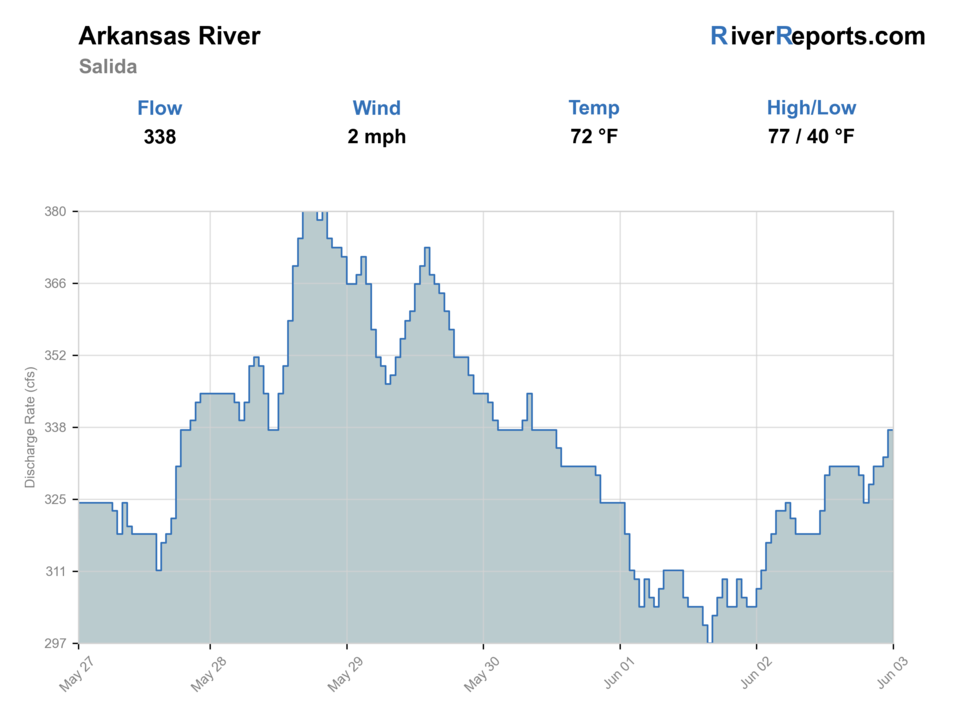
BlueStreamFly cannot read the latest value from this image. Check the chart on RiverReports Opens in a new tab.
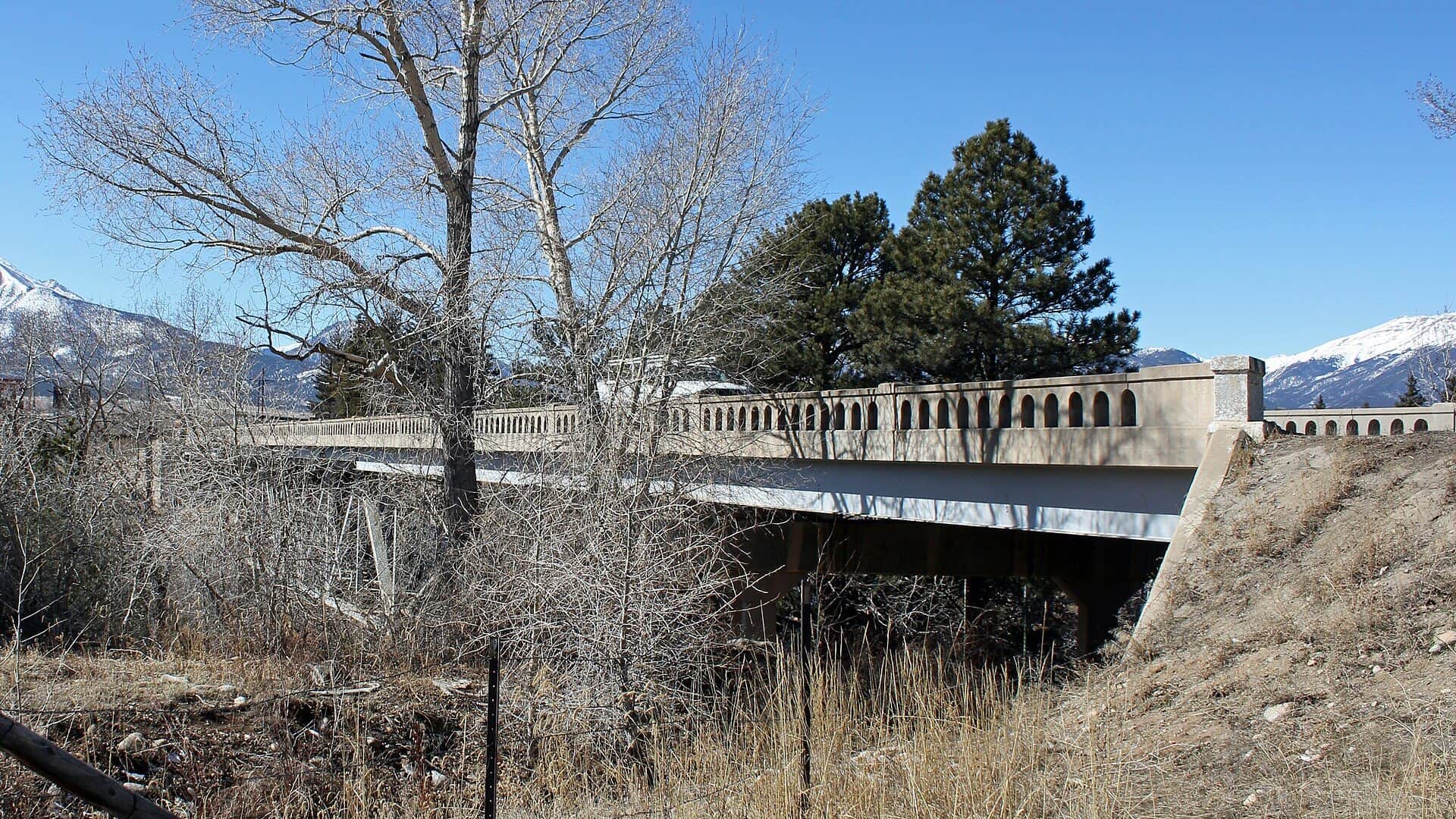
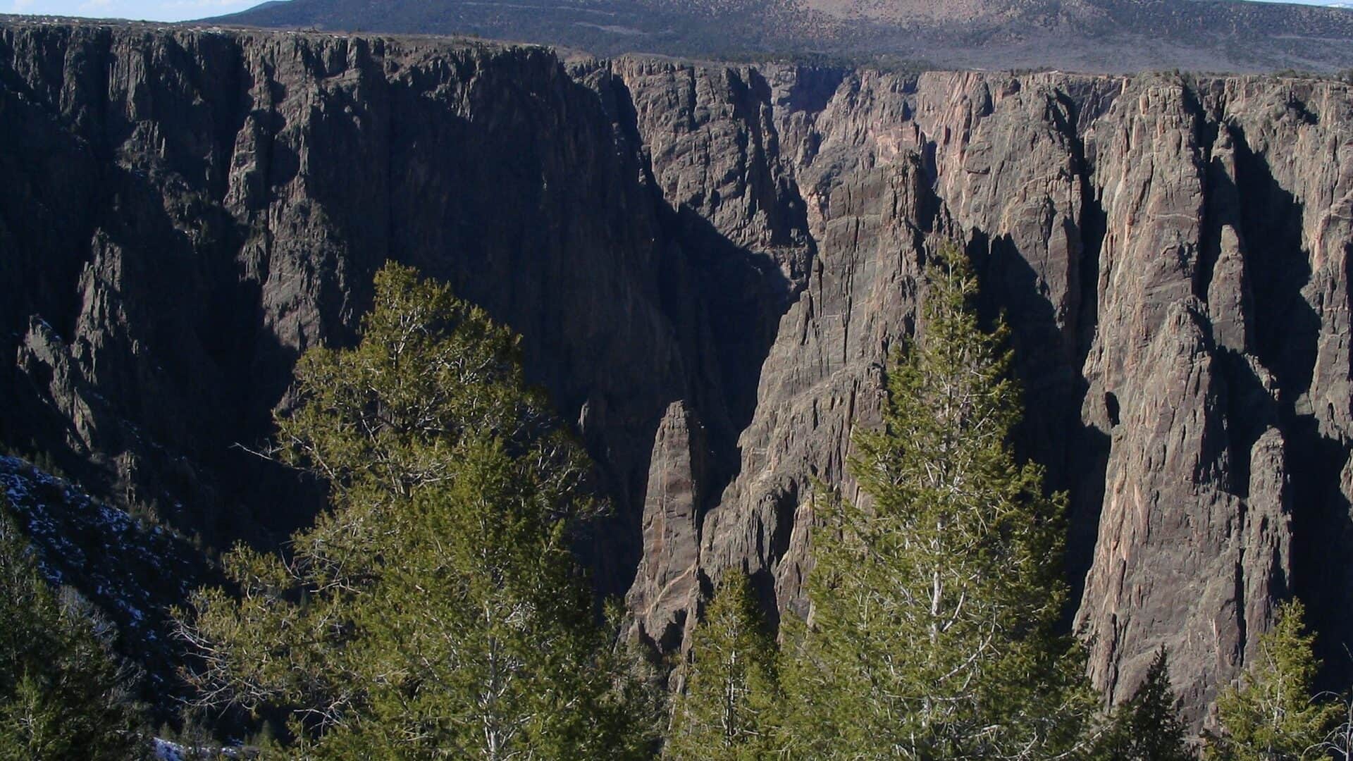
Photo: Jeffrey Beall Opens in a new tab. · CC BY 3.0
No access method is recommended today. Review the live conditions below before choosing another river or day.
Check first: Flow unavailable
Rating updatedRiver local time:
The USGS source did not return a usable value. Open the official station before committing to the trip.
NWS air forecast near
This is an air forecast, not a river-temperature reading. Check the water with a stream thermometer before fishing in hot weather.
RiverReports gauge
BlueStreamFly cannot read the latest value from this image. Check the chart on RiverReports Opens in a new tab.
Showers And Thunderstorms Likely
The National Weather Service forecast is temporarily unavailable.
RiverReports gauge: Arkansas River at Salida / Nathrop gauge backstop
Seasonal starting points, not a live hatch report. Match what you see on the water.
Each fly name opens its matching Fly Box guide.
The Arkansas rewards anglers who treat it as a condition-driven river. When the graph is stable or dropping, clarity improves, and water temperatures are trout-safe, fish broken banks, pocket water, boulder cushions, and softer seams instead of forcing long casts into heavy current.
Use longer leaders, smaller droppers, and careful wading. Fish broken texture, shaded banks, and depth changes before stepping into the lane.
The most flexible window. Dry-dropper rigs, caddis dries, small nymphs, and soft hackles can all work when clarity is good.
Expect limited wading and reduced clarity. Fish banks and soft edges, or choose a safer reach instead of crossing pushy current.
Boat traffic can change the feel of the day. Fish early, late, or away from the busiest ramps when possible.
No access method is recommended in today's conditions. Review the live river and weather checks before making another plan.
Not recommended today. Recheck the river, weather, and access before planning another trip.
Not recommended today. Recheck the river, weather, and access before planning another trip.
Not recommended today. Recheck the river, weather, and access before planning another trip.
Is Arkansas River worth the trip today? Check flow, weather, hatches, access, and rules for Colorado before you go.
The upper Arkansas is a long public-river area with strong trout opportunity, but it changes fast with runoff, storms, and summer recreation flows. Start with the Salida gauge, then choose wade, bank, or float tactics that match the trend.
The USGS source did not return a usable value. Open the official station before committing to the trip.
The forecast has storm or heavy-precipitation risk, so timing and access matter more than the score alone.
Fall: Often the cleanest wade-fishing window after flows settle.
The current NWS air forecast is about 58F, and the next 24-hour high reaches about 63F. Showers And Thunderstorms Likely.
No active NWS alert was returned for this forecast point.
Use the Salida trend more than a single magic cfs number. Stable or slowly falling flows are the cleanest all-around trout window. Rising or pushy water should move the day toward protected edges, shorter wades, or another report.
Skip aggressive wading when runoff is climbing, when summer boating traffic is heavy in the reach you picked, when thunderstorms are muddying side water, or when afternoon temperatures make trout handling questionable.
Start by choosing a area, not just a fly box: Buena Vista and Browns Canyon for pocket-water scouting, Salida for easy gauge and town logistics, and lower canyon or Pueblo-tailwater alternatives only after checking that those sections match the conditions you want.
If the upper Arkansas is high, muddy, or too busy, pivot to the Arkansas River Tailwater below Pueblo for a more controlled release-based day or to the South Platte when you want clearer technical trout water.
Use these places as starting points. Open the access link below and check posted signs before you park or enter.
Colorado fishing rules can vary by reach and year. Before fishing or keeping fish, confirm the current Colorado Parks and Wildlife fishing brochure, special fishing rules for the Arkansas River, license requirements, emergency notices, and any Arkansas Headwaters Recreation Area site rules.
Useful for services, public-river planning, and checking the Salida-area gauge before choosing a reach.
A classic Arkansas planning zone with pocket water, boat traffic, and public access considerations.
A high-value section for dry-dropper and pocket-water planning when flows are suitable.
Can be productive, but wading and boating context changes downstream. Check current CPW access and river-section information.
Official agencies and primary river operators come first. Secondary tools are labeled so you know what carries the most weight.
Check what is allowed, where the rule applies, and whether the river is open.
Check the latest river reading and forecast before you leave.
Check public entry points, land rules, and seasonal access changes.
Use these links for stocking, safety, and other local details.
Check what is allowed, where the rule applies, and whether the river is open.
Open the current rules and check the river section, season, and special limits.
Check the latest river reading and forecast before you leave.
Open this river reading to check the latest level, flow, and update time.
Open this page and check the latest safety advice before your trip.
Open this river reading to check the latest level, flow, and update time.
Open this river reading to check the latest level, flow, and update time.
Check public entry points, land rules, and seasonal access changes.
Open the land or access page, then check signs before you park or enter.
Use these links for stocking, safety, and other local details.
Open this page for more river information and check when it was last updated.
What was checked: This report starts with official regulation, access, flow, weather, and public-river sources, then adds practical planning guidance for anglers.
Live measurements and forecasts keep their provider timestamps. Rules, access, and trip guidance use the source-review date shown here. BlueStreamFly planning advice is editorial interpretation, not an agency notice.
First-hand experience: BlueStreamFly does not claim a first-hand visit or local field test for this report unless a real contributor is explicitly named and linked.
Use the RiverReports Salida chart for a familiar Arkansas River visual, and use USGS 07091200 Arkansas River near Nathrop as the readable official backstop for the score. The older Salida station is not the current machine-readable backstop for this page.
Use the RiverReports Salida chart for a familiar Arkansas River visual, and use USGS 07091200 Arkansas River near Nathrop as the readable official backstop for the score. The older Salida station is not the current machine-readable backstop for this page.
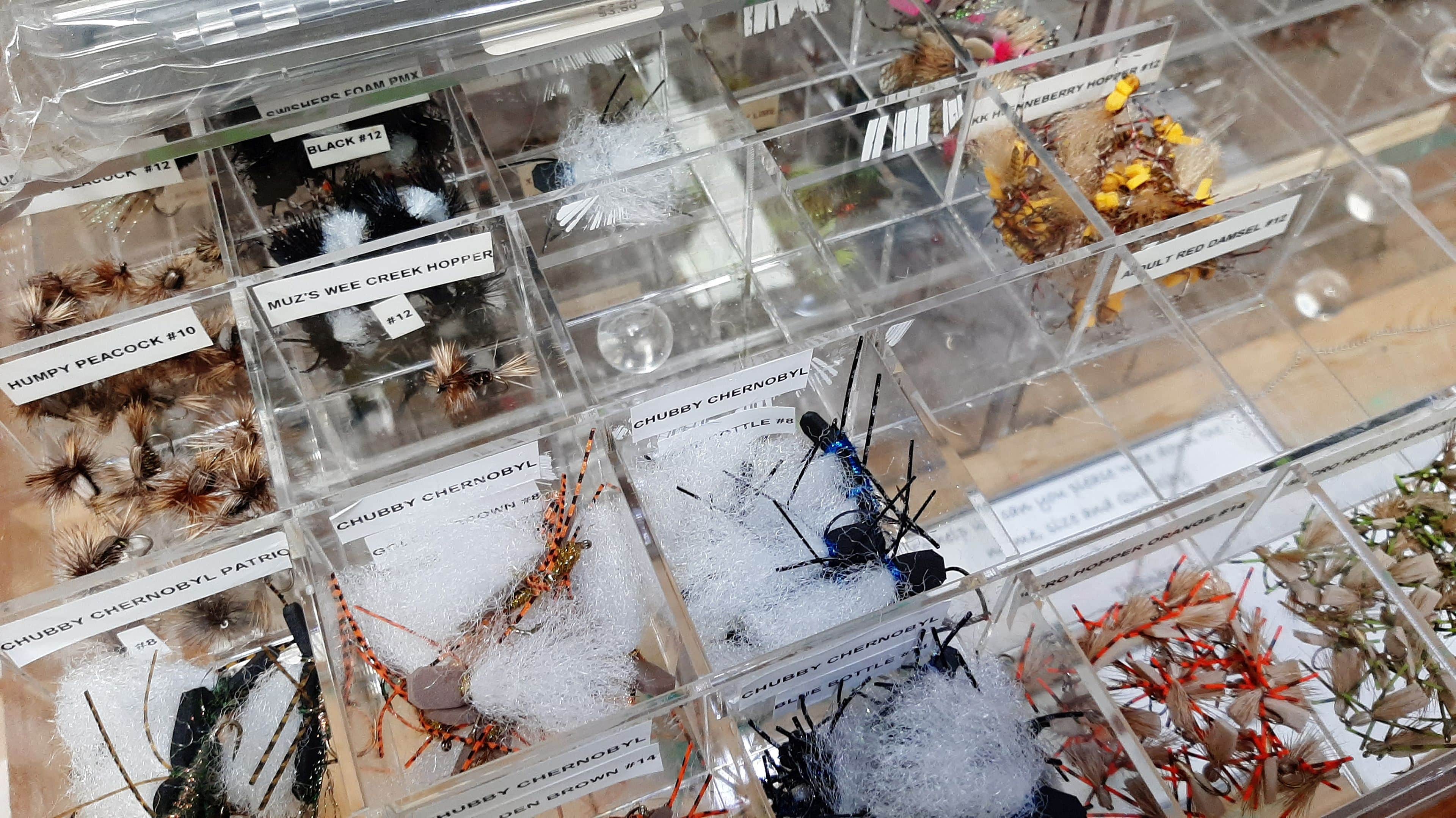
Bring caddis dries and pupa, BWO patterns, stonefly nymphs, attractor dries, foam terrestrials, small nymphs, soft hackles, and a few small streamers.
Use the RiverReports Salida chart for a familiar Arkansas River visual, and use USGS 07091200 Arkansas River near Nathrop as the readable official backstop for the score. The older Salida station is not the current machine-readable backstop for this page.