Wade, bank, and floatLimited data
Use the live sources and what you see at the river before choosing an approach.
Fly fishing report · West
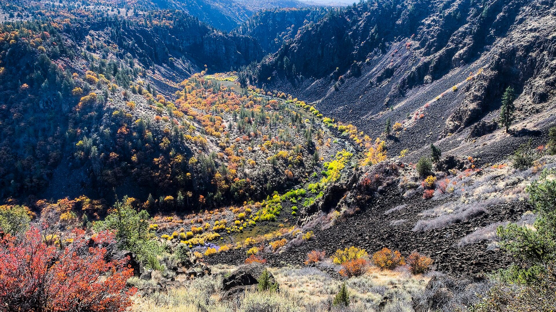
A Pit River report focused on rugged canyon access, hydro-managed flow caution, pocket-water tactics, safety, current regulations, and practical trip planning.
Check flow & weatherThis river does not have a reliable live gauge attached. Check the weather, recent rain, local reports, and the water when you arrive.
There is not enough reliable current information to recommend wading, bank fishing, or floating.
Use the live sources and what you see at the river before choosing an approach.
Check before you drive
Look at whether the river is rising or falling, then check wind, rain, and storms. These can change both safety and fishing.
Before you rely on this report
Conditions can change quickly. Check these dates before you decide to fish, and open the official source when safety or rules matter.
Medium confidence in the current score inputs.
7 sources are listed below for you to open.
4 public access records are listed. Private spots are never shown.
Source checked Jul 30, 2026
Plan your access
These are public parking, launch, trail, or recreation areas—not secret fishing spots. We never show an angler's private pins, notes, or photos here.
Public land
BLM's Pit River Campground is an official access anchor in the broader system.
The Pit rewards fit, careful anglers and punishes casual wading.
Hydro-influenced flow changes can make a reach unsafe or unfishable.
Area description
Hydro project context matters for flows, access, and safety. Check current notices.
The Pit rewards fit, careful anglers and punishes casual wading.
Hydro-influenced flow changes can make a reach unsafe or unfishable.
Area description
Useful towns for logistics, food, fuel, and backup water choices.
The Pit rewards fit, careful anglers and punishes casual wading.
Hydro-influenced flow changes can make a reach unsafe or unfishable.
Area description
Fall River and Hat Creek can be better choices when Pit flows or wading look wrong.
The Pit rewards fit, careful anglers and punishes casual wading.
Hydro-influenced flow changes can make a reach unsafe or unfishable.
How to fish it
The Pit can fish well for strong trout in pocket water, but it is one of the least forgiving wading rivers in the region. Treat flow, traction, and exit routes as part of the fishing plan.
No verified live public gauge is attached, so the page cannot make a strong real-time call.
The NWS forecast is near 90F. Fish early and verify water temperature where trout stress is possible.
Early summer: Caddis, stones, and pocket-water nymphing can be useful before heat is severe.
No active NWS alert was returned for this forecast point.
Skip the Pit when you are guessing about the exact reach flow, when the approach or exit looks worse than your comfort level, when heat or smoke turns the canyon into a grind, or when you would need to make risky crossings just to reach the first likely seam.
Read the water
The Pit is a high-effort trout river. If flows, access, and weather line up, fish short drifts through pockets, plunge pools, and edge seams. If any safety piece is questionable, move to a more forgiving nearby water.
Fish upstream with short casts, dry-droppers, and nymphs through every soft slot.
Use heavier nymph rigs and stay conservative with crossings.
Skip risky wading. Hydropower-influenced reaches can become dangerous quickly.
Start early, carry water, and be ready to stop if fish handling or personal safety suffers.
Your trip plan
Use project and local flow context as a warning system more than a promise. The best windows are stable enough to let you plant your feet, fish short drifts, and climb out cleanly; if the river is pushy, changing, or simply looks harder than the trout are worth, that is the signal to move to another river.
Skip the Pit when you are guessing about the exact reach flow, when the approach or exit looks worse than your comfort level, when heat or smoke turns the canyon into a grind, or when you would need to make risky crossings just to reach the first likely seam.
Start with one access reality such as the BLM campground corridor or another clearly legal public entry, then fish one reach methodically instead of chasing every named Pit section. The river rewards a smaller safer day more than an ambitious mileage plan.
If the Pit is running too hard or feels too physical for the day, pivot to the Upper Sacramento for a more forgiving freestone option or to Hat Creek if you need a technical trout backup with simpler footing and clearer public structure.
Hatches & flies
 Fly family · report suggests “Stonefly nymph”Stonefly Nymph PatternsStonefly nymph patterns generally emphasize two tails, a broad thorax, segmented abdomen, and bottom contact; rubber legs, biots, beads, and jig hooks define different exact forms.See family guide ↗
 Fly family · report suggests “caddis pupa”Caddis Pupa PatternsCaddis pupa is a life-stage family. Curved bodies, wing pads, legs, beads, and soft-hackle collars differ among exact patterns and must be labeled.See family guide ↗+ 2 more reviewed guides in the Fly Box
  Fly pattern · report suggests “Stimulator”StimulatorLook for a hair tail, dubbed abdomen with palmered hackle, tented hair wing, contrasting front hackle, and bright thorax or head. Colors and sizes vary widely and must remain labeled.See photos & how to fish it ↗
 Fly family · report suggests “golden stone nymph”Golden Stonefly PatternsGolden stonefly wording may describe the insect, nymph, or dry. Nymph tones can range from yellow-gold to amber and brown, while adult patterns require a distinct winged surface silhouette.See family guide ↗+ 2 more reviewed guides in the Fly Box
  Fly pattern · report suggests “Elk hair caddis”Elk Hair CaddisLook for a tented elk- or deer-hair wing, clipped hair head, dubbed body, rib, and hackle palmered along the body. The body color should be labeled because tiers often match different natural caddis colors.See photos & how to fish it ↗
 Fly family · report suggests “ant”Ant PatternsAnt patterns can be foam, fur-bodied, winged, or sunken. The narrow waist and paired body lobes matter more than one material recipe.See family guide ↗+ 3 more reviewed guides in the Fly Box
  Fly family · report suggests “BWO”Blue-Winged Olive PatternsBWO describes a hatch group, not one fly. Nymph, emerger, dry, cripple, and spinner profiles must stay separate because they occupy different parts of the water column.See family guide ↗
 Fly family · report suggests “October caddis”October Caddis PatternsOctober Caddis names a hatch group. Amber or orange pupae, soft-hackle or wet forms, and large tent-wing adults fish at different levels.See family guide ↗+ 2 more reviewed guides in the Fly Box
 Make short upstream casts and fish one pocket at a time.
Keep your feet planted before casting; the wading is often harder than the drift.
Use a dry-dropper to find active fish, then switch to heavier nymphs for deeper slots.
Avoid long crossings and never assume you can climb out downstream.
Watch for snakes, poison oak, heat, and steep loose banks.
Rules & closures
Open the agency page to confirm the exact river section, species, season, tackle rules, limits, and emergency closures.
Official links checkedWe checked the state source but did not find a clearly supported exception for this river. Check the official rules for the exact section you plan to fish.
This summary helps with trip planning. The linked agency rule is the one you must follow.
Updates from anglers
Recent observations from general areas of Pit River. We review every update before it appears and never publish exact fishing spots, private access details, or photo locations.
You can still use the river plan above. Check back later for recent observations from other anglers.
Where this report comes from
Fishing guidance checked: Jul 6, 2026
Site check: Jul 14, 2026. We regularly test report links, live scores, flow and weather data, and page loading. The content date changes only when the fishing guidance or its sources change.
Common questions
Usually no. The river is rugged, slippery, and physically demanding even when the fishing is good.
Check USGS and project/land-manager information for the reach you plan to fish. A single verified live graph was not used for this broad Pit report.
Stonefly nymphs, caddis pupa, tungsten mayfly nymphs, heavy dry-droppers, and small streamers are practical starting points.
Wading. Slick boulders, pushy slots, steep banks, and flow changes are the main reasons to be conservative.