WadeNot advised
Wading is the most sensitive plan today. Use protected edges only, avoid crossings, and downgrade quickly if clarity or current feels wrong.
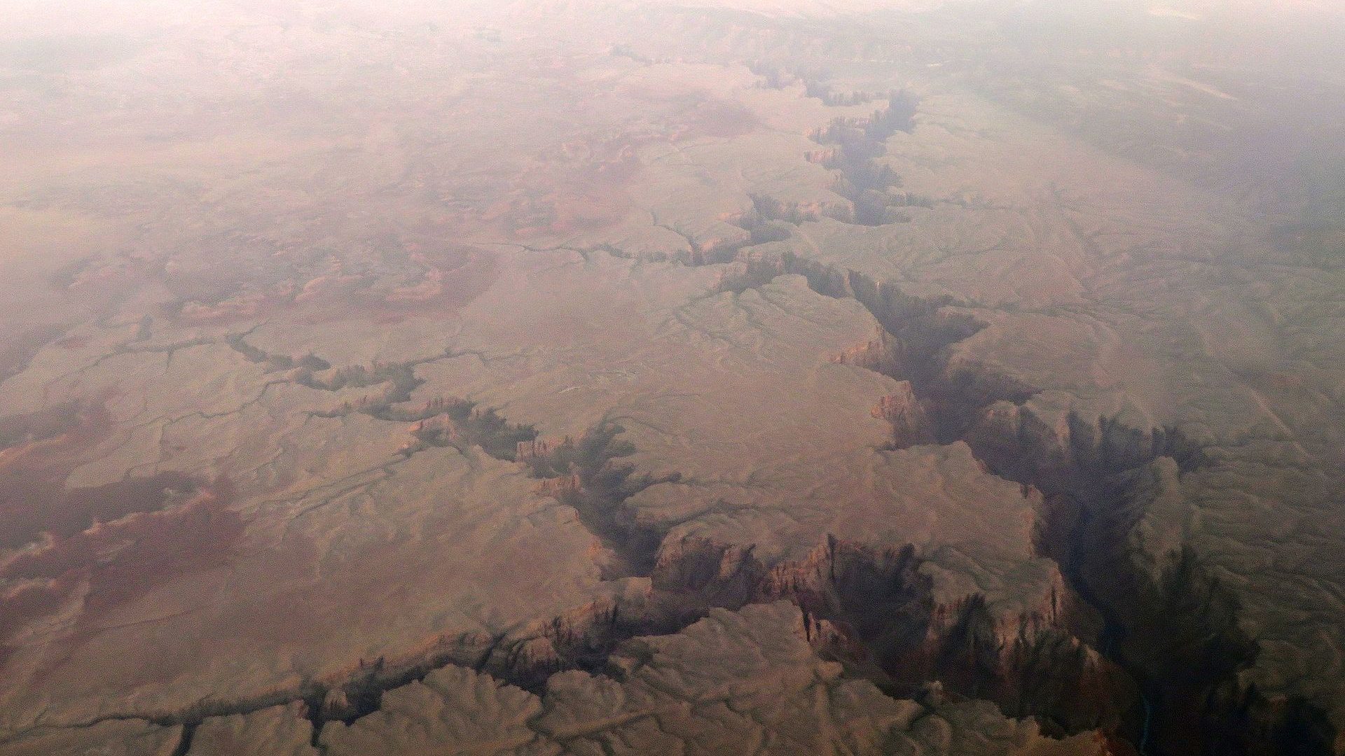
Fly fishing report · Southwest
A Greer-focused Little Colorado River report with RiverReports flow context, USGS data, high-country weather, trout tactics, access notes, and special regulation checks.
Check flow & weatherThe NWS forecast is near 84F. Fish early and verify water temperature where trout stress is possible.
Compare wading, bank fishing, and floating before choosing how you will fish.
Wading is the most sensitive plan today. Use protected edges only, avoid crossings, and downgrade quickly if clarity or current feels wrong.
Bank and edge fishing is the safer default when water is high, pushy, or not fully verified.
A float can fit better than wading only if launches, shuttle, boat skill, wind, and local rules all check out.
Check before you drive
Look at whether the river is rising or falling, then check wind, rain, and storms. These can change both safety and fishing.
Before you rely on this report
Conditions can change quickly. Check these dates before you decide to fish, and open the official source when safety or rules matter.
Priority river · checked more closely for freshness and source changes
High confidence in the current score inputs.
10 sources are listed below for you to open.
5 public access records are listed. Private spots are never shown.
Source checked Jul 30, 2026
Plan your access
These are public parking, launch, trail, or recreation areas—not secret fishing spots. We never show an angler's private pins, notes, or photos here.
Area description
The Greer reach and Greer Lakes area are the main practical base for this report. Confirm whether you are on public access before stepping off roads or campground areas.
Greer has a mix of public land, campgrounds, cabins, roads, and private property. Use marked public access and do not assume every open-looking meadow is legal access.
The Forest Service notes heavy rain is common in July and August and that nighttime temperatures can be cool or cold. Pack layers even on a warm day.
Public land
Apache-Sitgreaves National Forest says Greer Lakes and the Little Colorado River are within walking distance of the campground.
Greer has a mix of public land, campgrounds, cabins, roads, and private property. Use marked public access and do not assume every open-looking meadow is legal access.
The Forest Service notes heavy rain is common in July and August and that nighttime temperatures can be cool or cold. Pack layers even on a warm day.
Roadside access
Arizona conservation planning identifies this corridor as a coldwater sportfishery planning area with wild trout value.
Greer has a mix of public land, campgrounds, cabins, roads, and private property. Use marked public access and do not assume every open-looking meadow is legal access.
The Forest Service notes heavy rain is common in July and August and that nighttime temperatures can be cool or cold. Pack layers even on a warm day.
Trailhead
The Forest Service says the trail immediately crosses the West Fork of the Little Colorado River and there is no bridge, so stream crossing conditions matter.
Greer has a mix of public land, campgrounds, cabins, roads, and private property. Use marked public access and do not assume every open-looking meadow is legal access.
The Forest Service notes heavy rain is common in July and August and that nighttime temperatures can be cool or cold. Pack layers even on a warm day.
Area description
Useful for advanced trip planning, but both can carry special seasons, closures, and barbless-hook rules. Check the current rule table before fishing.
Greer has a mix of public land, campgrounds, cabins, roads, and private property. Use marked public access and do not assume every open-looking meadow is legal access.
The Forest Service notes heavy rain is common in July and August and that nighttime temperatures can be cool or cold. Pack layers even on a warm day.
How to fish it
This page covers the Greer area of the Little Colorado River, not the entire long river system downstream. The useful plan starts with the Greer gauge, current special rules, and whether the stream has enough cold water for careful trout fishing.
The NWS forecast is near 84F. Fish early and verify water temperature where trout stress is possible.
A heat alert is active near this forecast point, so the score is capped at caution until water temperature and fish-handling risk are checked. NWS alert: Heat Advisory issued August 1 at 11:27AM MST until August 3 at 8:00PM MST by NWS Flagstaff AZ.
Float: A float can fit better than wading only if launches, shuttle, boat skill, wind, and local rules all check out.
USGS shows 7 cfs with a falling about 15% over about 6 hours trend. Today's flow is within the normal seasonal range of 7 cfs to 17 cfs. Weather, water temperature, and access are the next checks.
Early summer: Often the most useful small-stream window when flows settle and trout feed on mayflies, caddis, and small nymphs.
Read the water
Expect small-water trout fishing where approach, shade, and water temperature matter more than long casts. The best windows are usually cool mornings, stable flows, and periods when trout can feed without being pushed by heat, skinny water, or runoff.
Use longer leaders, small flies, and short careful casts. Skip obvious spawning or stressed fish and avoid walking through shallow holding water.
This is the best small-stream window. Fish dry-droppers, slim nymphs, and small dries through pools, riffle tails, and undercut banks.
Watch for quick color and flow changes. Fish soft edges only if safe, and avoid creek crossings when storms are nearby.
Carry a thermometer. If water feels warm or fish look stressed, stop trout fishing and use the time to scout access or fish a lake where legal.
Your trip plan
Use the Greer gauge trend and water condition together. Stable, cool, clear flow is the best small-stream window; very low, warm, rising, or stained water should move the day to a lighter plan, a lake, or another legal water.
Skip or scale back when the stream is very low and warm, monsoon storms are building, special-rule or fork boundaries are unclear, East Fork crossings are unsafe, or private-property access is uncertain.
Start around the Greer/River Reservoir corridor only where access is legal, then decide whether Rolfe C. Hoyer, East Fork Trail, or a nearby lake makes more sense after checking rules and flow.
If the Greer reach is too low, warm, stormy, or rule-limited, compare Black River, Canyon Creek, Lees Ferry, or nearby lakes only after checking current access and regulations.
Hatches & flies
 Fly pattern · report suggests “Zebra midges”Zebra MidgeLook for a very slim tapered thread body, evenly spaced contrasting wire rib, a small bead, and no tail or wing. The reviewed classic is black with silver wire and a silver bead. Red, olive, brown, glass-bead, jig-hook, resin-coated, or tailed forms must remain labeled variations rather than replacing the classic identity.See photos & how to fish it ↗
 Fly family · report suggests “BWO dries”Blue-Winged Olive PatternsBWO describes a hatch group, not one fly. Nymph, emerger, dry, cripple, and spinner profiles must stay separate because they occupy different parts of the water column.See family guide ↗+ 2 more reviewed guides in the Fly Box
  Fly pattern · report suggests “Elk hair caddis”Elk Hair CaddisLook for a tented elk- or deer-hair wing, clipped hair head, dubbed body, rib, and hackle palmered along the body. The body color should be labeled because tiers often match different natural caddis colors.See photos & how to fish it ↗
 Fly pattern · report suggests “x-caddis”X-CaddisIdentify the X-Caddis by the combination of a sparse translucent Zelon-style trailing shuck, slim dubbed body, tented deer- or elk-hair wing, small clipped head, and no palmered body hackle. The separately photographed Elk Hair Caddis has a higher, hackled adult footprint and no defining trailing shuck. The natural-adult photograph explains the caddis tent-wing silhouette, but it does not turn the X-Caddis into an exact adult-species imitation.See photos & how to fish it ↗+ 2 more reviewed guides in the Fly Box
  Fly family · report suggests “Foam ants”Ant PatternsAnt patterns can be foam, fur-bodied, winged, or sunken. The narrow waist and paired body lobes matter more than one material recipe.See family guide ↗
 Fly family · report suggests “beetles”Beetle PatternsBeetle flies range from simple foam shells to hair-bodied and sunken forms. A rounded back and compact profile distinguish the family from ants and hoppers.See family guide ↗+ 1 more reviewed guide in the Fly Box Fly family · report suggests “BWO dries”Blue-Winged Olive PatternsBWO describes a hatch group, not one fly. Nymph, emerger, dry, cripple, and spinner profiles must stay separate because they occupy different parts of the water column.See family guide ↗Fly pattern · report suggests “zebra midges”Zebra MidgeLook for a very slim tapered thread body, evenly spaced contrasting wire rib, a small bead, and no tail or wing. The reviewed classic is black with silver wire and a silver bead. Red, olive, brown, glass-bead, jig-hook, resin-coated, or tailed forms must remain labeled variations rather than replacing the classic identity.See photos & how to fish it ↗+ 2 more reviewed guides in the Fly Box
  Fly family · report suggests “Tiny midges”Midge Patterns by StageMidge wording can mean a threadlike larva, wing-padded pupa, film emerger, tiny adult, or visible cluster. Those profiles fish at different depths.See family guide ↗
 Fly pattern · report suggests “perdigons”Perdigon NymphA Perdigon is defined by architecture rather than one body color: a prominent bead, extremely slim body sealed under a smooth hard resin coat, sparse tail, compact collar, and little material to trap water. Jig hooks are common but not mandatory, and bead size or material, hook form, thread or tinsel body, rib, hot spot, tail, wing-case mark, and color remain explicit variants.See photos & how to fish it ↗+ 2 more reviewed guides in the Fly Box
 Walk first and cast second. On skinny meadow water, one careless step can move every fish in the pool.
Start with a dry-dropper or a single small dry in broken current. Add weight only when you need to reach a deeper pool.
Fish upstream or quartering upstream when possible so your leader reaches the fish before your shadow or fly line.
In low water, cover the best lies with one or two good casts instead of repeatedly lining the pool.
Use shade, undercut banks, pool tails, and small plunge pools as priority targets.
Rules & closures
Open the agency page to confirm the exact river section, species, season, tackle rules, limits, and emergency closures.
Official links checkedWe checked the state source but did not find a clearly supported exception for this river. Check the official rules for the exact section you plan to fish.
This summary helps with trip planning. The linked agency rule is the one you must follow.
Updates from anglers
Recent observations from general areas of Little Colorado River. We review every update before it appears and never publish exact fishing spots, private access details, or photo locations.
You can still use the river plan above. Check back later for recent observations from other anglers.
Where this report comes from
Fishing guidance checked: May 31, 2026
Site check: Jul 14, 2026. We regularly test report links, live scores, flow and weather data, and page loading. The content date changes only when the fishing guidance or its sources change.
Common questions
Yes, but it is a small, condition-sensitive trout stream. It is best when flows are stable, water is cold, and you use careful small-stream tactics instead of big-river methods.
Use RiverReports for the quick Greer chart and USGS 09383400, Little Colorado River at Greer, for the official streamflow and gage-height data.
Check the current Arizona rules before fishing. The special regulation table lists the Greer reach above River Reservoir to the East and West Fork confluence as catch-and-release only for trout.
Bring small dries, caddis, blue-winged olives, terrestrials, zebra midges, pheasant tails, hare's ears, small perdigons, soft hackles, and a few mini streamers.