WadeNot advised
Wading is the most sensitive plan today. Use protected edges only, avoid crossings, and downgrade quickly if clarity or current feels wrong.
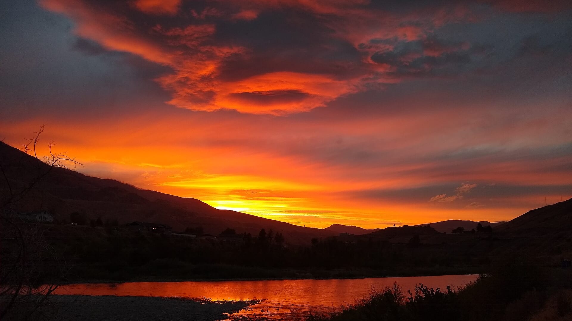
Fly fishing report · Pacific Northwest
A conservation-minded Methow report for trout, whitefish, and limited steelhead context, with flow, snowmelt, access, weather, and rule checks.
Check flow & weatherCurrent USGS flow is 371 cfs and has been stable for about 6 hours. Today's flow is below the normal seasonal range, which begins near 434 cfs. This is below normal, so edge depth, temperature, and pressure matter.
Compare wading, bank fishing, and floating before choosing how you will fish.
Wading is the most sensitive plan today. Use protected edges only, avoid crossings, and downgrade quickly if clarity or current feels wrong.
Bank and edge fishing is the safer default when water is high, pushy, or not fully verified.
This report does not describe this as a primary mode. Verify legal access, depth, launches, and retreat options before planning around it.
Check before you drive
Look at whether the river is rising or falling, then check wind, rain, and storms. These can change both safety and fishing.
Before you rely on this report
Conditions can change quickly. Check these dates before you decide to fish, and open the official source when safety or rules matter.
High confidence in the current score inputs.
9 sources are listed below for you to open.
3 public access records are listed. Private spots are never shown.
Source checked Jul 30, 2026
Plan your access
These are public parking, launch, trail, or recreation areas—not secret fishing spots. We never show an angler's private pins, notes, or photos here.
Area description
Core valley orientation with bridges, town access, and posted-land awareness.
Much of the valley includes private land; public parking does not always mean legal river access.
Snowmelt can make the river unsafe long before it looks muddy.
Area description
Useful lower-valley context with Pateros flow comparison.
Much of the valley includes private land; public parking does not always mean legal river access.
Snowmelt can make the river unsafe long before it looks muddy.
Roadside access
Rule-sensitive area that needs current WDFW confirmation before fishing.
Much of the valley includes private land; public parking does not always mean legal river access.
Snowmelt can make the river unsafe long before it looks muddy.
How to fish it
The Methow is a beautiful river, but it is one of the more regulation-sensitive pages in this batch. Check WDFW rules first, then use the Twisp or Pateros gauges to decide whether the river is safe and fishable.
USGS shows 371 cfs with a stable over about 6 hours trend. Today's flow is below the normal seasonal range, which begins near 434 cfs. This is below normal, so edge depth, temperature, and pressure matter.
An Air Quality Alert is active near this forecast point, so the score is capped at caution until smoke and access conditions are checked. NWS alert: Air Quality Alert issued August 2 at 5:42PM PDT by NWS Spokane WA.
Bank / edge: Bank and edge fishing is the safer default when water is high, pushy, or not fully verified.
Summer: Early and cool conditions matter; heat can make trout handling unethical.
The NWS forecast is about 76F with Haze.
Read the water
The most useful Methow plan is conservative: legal reach first, then flow, temperature, and access. When the river is closed or too warm, use the page to decide not to fish it.
Expect cold, fast, pushy water and limited wading.
Use long leaders and stop trout fishing if temperature is stressful.
Can be useful if rules open a legal opportunity.
Check whitefish or other winter-specific rules before fishing.
Your trip plan
Use USGS 12449500 at Twisp for central-valley planning and USGS 12449950 near Pateros for lower-river context. Stable, moderate flow is the best fit; spring runoff, very low summer water, or unclear rule status should narrow or cancel the plan.
Skip the Methow when salmon or steelhead rules are unclear, when runoff makes wading pushy, when summer heat threatens trout recovery, or when a public pullout does not clearly connect to legal river access.
Pick the reach and species before the flies. Use Winthrop and Twisp for central valley context, Carlton and Pateros for lower-river checks, and the WDFW sources before treating any seasonal opportunity as open.
If the Methow is too high, too warm, or too restricted, compare the Yakima for a clearer trout plan, the Wenatchee for a similar east-slope rules-first river, or a larger tailwater outside Washington when legal opportunity is limited.
Hatches & flies
 Fly family · report suggests “BWO emerger”Blue-Winged Olive PatternsBWO describes a hatch group, not one fly. Nymph, emerger, dry, cripple, and spinner profiles must stay separate because they occupy different parts of the water column.See family guide ↗
 Fly pattern · report suggests “zebra midge”Zebra MidgeLook for a very slim tapered thread body, evenly spaced contrasting wire rib, a small bead, and no tail or wing. The reviewed classic is black with silver wire and a silver bead. Red, olive, brown, glass-bead, jig-hook, resin-coated, or tailed forms must remain labeled variations rather than replacing the classic identity.See photos & how to fish it ↗+ 3 more reviewed guides in the Fly Box
  Fly pattern · report suggests “Elk hair caddis”Elk Hair CaddisLook for a tented elk- or deer-hair wing, clipped hair head, dubbed body, rib, and hackle palmered along the body. The body color should be labeled because tiers often match different natural caddis colors.See photos & how to fish it ↗
 Fly family · report suggests “PMD emerger”Pale Morning Dun PatternsPMD names an insect group, not one fly. Pale nymphs, trailing-shuck emergers, upright or low-riding duns, cripples, and spent-wing spinners stay visibly separate.See family guide ↗+ 3 more reviewed guides in the Fly Box
  Fly family · report suggests “Foam hopper”Grasshopper PatternsHopper patterns share a substantial body and long rear-leg impression, but foam, deer hair, wing construction, and waterline differ widely among named patterns.See family guide ↗
 Fly family · report suggests “ant”Ant PatternsAnt patterns can be foam, fur-bodied, winged, or sunken. The narrow waist and paired body lobes matter more than one material recipe.See family guide ↗+ 4 more reviewed guides in the Fly Box
  Fly family · report suggests “October caddis”October Caddis PatternsOctober Caddis names a hatch group. Amber or orange pupae, soft-hackle or wet forms, and large tent-wing adults fish at different levels.See family guide ↗Fly family · report suggests “BWO emerger”Blue-Winged Olive PatternsBWO describes a hatch group, not one fly. Nymph, emerger, dry, cripple, and spinner profiles must stay separate because they occupy different parts of the water column.See family guide ↗+ 3 more reviewed guides in the Fly Box
 Start by reading the regulation for the exact bridge-to-bridge reach.
Fish dry-droppers along soft seams only when trout handling is safe.
Use small nymphs and soft hackles in riffle edges during legal trout windows.
Avoid redds, spawning fish, and any salmon or steelhead activity that is not open.
When the water is hot or closed, use the report for scouting, not fishing.
Rules & closures
Open the agency page to confirm the exact river section, species, season, tackle rules, limits, and emergency closures.
Official links checkedWe checked the state source but did not find a clearly supported exception for this river. Check the official rules for the exact section you plan to fish.
This summary helps with trip planning. The linked agency rule is the one you must follow.
Updates from anglers
Recent observations from general areas of Methow River. We review every update before it appears and never publish exact fishing spots, private access details, or photo locations.
You can still use the river plan above. Check back later for recent observations from other anglers.
Where this report comes from
Fishing guidance checked: Jul 6, 2026
Site check: Jul 14, 2026. We regularly test report links, live scores, flow and weather data, and page loading. The content date changes only when the fishing guidance or its sources change.
Common questions
WDFW emergency rules, exact reach, Twisp and Pateros flows, water temperature, and open species
Use USGS 12449500 at Twisp for the central Methow and compare USGS 12449950 near Pateros for lower-river context.
Start around Winthrop or Twisp for planning, then confirm public access and the exact WDFW reach before fishing.
Sometimes at lower flows, but spring runoff and cold fast water can make wading unsafe.