RiverReports preview · current series loading
Recent flow
RiverReports gauge

Showing the available RiverReports chart while the current structured flow series loads. Check the chart on RiverReports Opens in a new tab.
No single best way to fish. Wading and Bank fishing have the same top score. Use current access, footing, weather, and local rules to choose.
Rating updatedRiver local time:
USGS shows 3,570 cfs. The flow has been stable over about 6 hours. USGS marks this reading provisional and may revise it. USGS records for this date (1935-2026, 92 readings) show a typical middle range of 2,730 cfs to 4,830 cfs. Flow is within the typical range for this date, so weather, temperature, and access become the next checks.
NWS air forecast near
This is an air forecast, not a river-temperature reading. Check the water with a stream thermometer before fishing in hot weather.
RiverReports gauge
Showing the available RiverReports chart while the current structured flow series loads. Check the chart on RiverReports Opens in a new tab.
Partly Sunny
The National Weather Service forecast is temporarily unavailable.
RiverReports gauge: Cowlitz River at Castle Rock
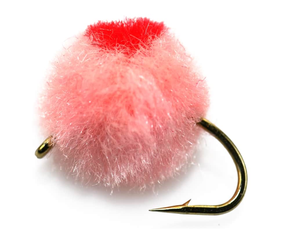
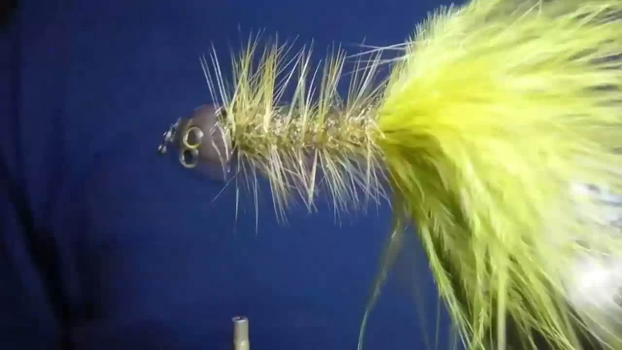
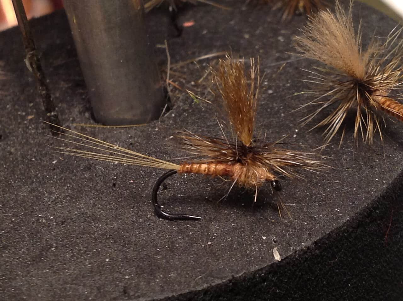
Seasonal starting points, not a live hatch report. Match what you see on the water.
Also try hopper-dropper
Also try October caddis, flesh fly
Each fly name opens its matching Fly Box guide.
Fish the Cowlitz when the flow trend is readable and you can commit to a named public-access plan. Skip it when crowding, high cold water, or muddy edges turn a big-river idea into wasted miles.
The best all-around condition for named public access sites and readable current seams.
Fish only proven edges and do not mistake big-river scale for safe footing.
Often the best mix of fish movement and manageable presentation speed.
A real condition of its own that may justify moving even if the flow looks great.
Wading and Bank fishing have the same top score. Use current access, footing, weather, and local rules to choose.
Wading is in play only where your chosen access has clear footing, legal entry, and no forced crossings.
Bank and edge fishing remains a practical low-commitment option if access is legal and footing is safe.
This report does not recommend floating this reach.
Is Cowlitz River worth the trip today? Check flow, weather, hatches, access, and rules for Washington before you go.
This is a large, managed southwest Washington river where access, timing, and angler pressure shape the day as much as the fish do. Use RiverReports for trend context, confirm with USGS 14238000, and pick named WDFW access instead of winging it on a broad riverbank.
USGS shows 3,570 cfs. The flow has been stable over about 6 hours. USGS marks this reading provisional and may revise it. USGS records for this date (1935-2026, 92 readings) show a typical middle range of 2,730 cfs to 4,830 cfs. Flow is within the typical range for this date, so weather, temperature, and access become the next checks.
Fall: Good for salmon-season energy if you are willing to manage crowds and fish-handling ethics carefully.
The current NWS air forecast is about 39F, and the next 24-hour high reaches about 59F. Partly Sunny.
No active NWS alert was returned for this forecast point.
Skip when the river is high and muddy, bank lines are crowded, Wallace Bar or hatchery-corridor access is unclear, or cold releases make edges unsafe.
Use the Castle Rock gauge with current rules and access. Green, stable, or dropping flow is the cleanest big-river signal.
Skip when the river is high and muddy, bank lines are crowded, Wallace Bar or hatchery-area access is unclear, or cold releases make edges unsafe.
Start with WDFW rules and the Castle Rock trend, then choose Wallace Bar, the wildlife-area unit, or another public anchor by crowd and flow.
Downshift to a smaller coastal river, Middle Fork Snoqualmie, or Cedar River at Renton when the Cowlitz is too big, crowded, or muddy.
Use these places as starting points. Open the access link below and check posted signs before you park or enter.
Check Washington sport fishing rules and current emergency changes before leaving home because salmon and steelhead opportunities can shift by reach and date.
A clearly defined WDFW site where the posted access strip matters as much as the fishing.
A bank-fishing and launch anchor near the hatchery area.
Useful for public-land orientation when you want the river context, not just one slot in line.
Official agencies and primary river operators come first. Secondary tools are labeled so you know what carries the most weight.
Check what is allowed, where the rule applies, and whether the river is open.
Check the latest river reading and forecast before you leave.
Check public entry points, land rules, and seasonal access changes.
Use these links for stocking, safety, and other local details.
Check what is allowed, where the rule applies, and whether the river is open.
Open the current rules and check the river section, season, and special limits.
Open the current rules and check the river section, season, and special limits.
Check the latest river reading and forecast before you leave.
Open this page and check the latest safety advice before your trip.
Open this river reading to check the latest level, flow, and update time.
Check public entry points, land rules, and seasonal access changes.
Open the land or access page, then check signs before you park or enter.
Open the land or access page, then check signs before you park or enter.
Use these links for stocking, safety, and other local details.
Open this page for more river information and check when it was last updated.
What was checked: This report starts with official regulation, access, flow, weather, and public-land sources, then adds practical planning guidance for fly anglers.
Live measurements and forecasts keep their provider timestamps. Rules, access, and trip guidance use the source-review date shown here. BlueStreamFly planning advice is editorial interpretation, not an agency notice.
First-hand experience: BlueStreamFly does not claim a first-hand visit or local field test for this report unless a real contributor is explicitly named and linked.
Pick a named public access area, read the flow first, and commit to a compact plan instead of trying to fish the whole river in one day.
No. WDFW describes a specific public strip there, so follow the posted map and restrictions exactly.
Check RiverReports, USGS 14238000, current Washington rules, emergency updates, and access restrictions at your chosen site.