RiverReports preview · current series loading
Recent flow
RiverReports gauge
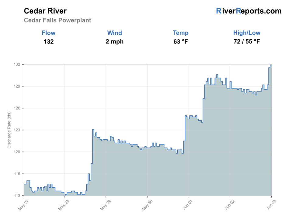
Showing the available RiverReports chart while the current structured flow series loads. Check the chart on RiverReports Opens in a new tab.
No single best way to fish. Wading and Bank fishing have the same top score. Use current access, footing, weather, and local rules to choose.
Rating updatedRiver local time:
USGS shows 39 cfs. The flow has been stable over about 6 hours. USGS marks this reading provisional and may revise it. USGS records for this date (2002-2026, 25 readings) show a typical middle range of 39 cfs to 124 cfs. Flow is within the typical range for this date, so weather, temperature, and access become the next checks.
NWS air forecast near
RiverReports gauge
Showing the available RiverReports chart while the current structured flow series loads. Check the chart on RiverReports Opens in a new tab.
Mostly Cloudy
The National Weather Service forecast is temporarily unavailable.
RiverReports gauge: Cedar River near Cedar Falls
Seasonal starting points, not a live hatch report. Match what you see on the water.
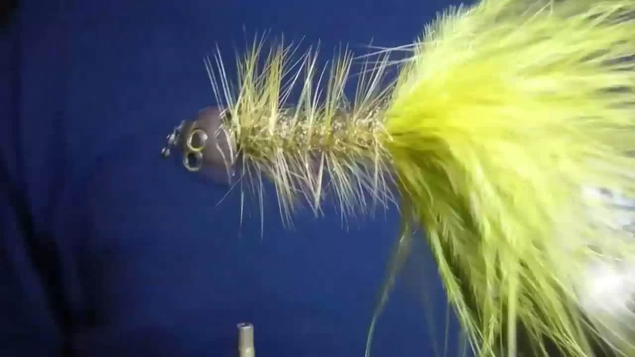
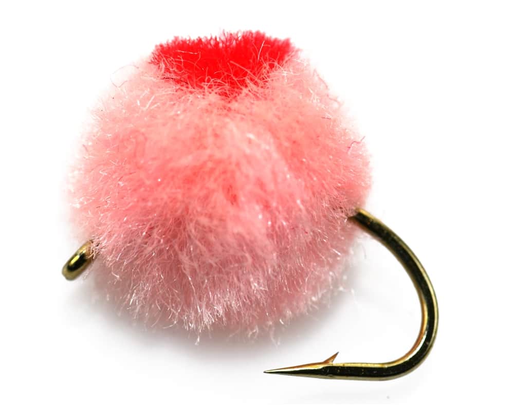
Each fly name opens its matching Fly Box guide.
Treat the Cedar Falls reach as a niche option for anglers who want a legal, carefully scoped upper-Cedar look. If access or weather feels uncertain, shift downriver or head toward the Snoqualmie side instead of guessing.
Best for careful short presentations along boulders, seams, and pocket-water transitions.
Back off quickly because access options are limited and wading consequence rises fast.
The easiest time to make a short legal-access trip without overcommitting the day.
Upper shade helps, but do not confuse a cooler canyon feel with universally safe trout conditions.
Wading and Bank fishing have the same top score. Use current access, footing, weather, and local rules to choose.
Wading is in play only where your chosen access has clear footing, legal entry, and no forced crossings.
Bank and edge fishing remains a practical low-commitment option if access is legal and footing is safe.
This report does not recommend floating this reach.
Is Cedar River worth the trip today? Check flow, weather, hatches, access, and rules for Cedar Falls Powerplant, Washington before you go.
This is not a free-roaming mountain river plan. Use RiverReports for trend context, confirm with USGS 12116400, and build the trip around the legal public edge near Cedar Falls and Rattlesnake Lake instead of assuming the municipal watershed is open to anglers.
USGS shows 39 cfs. The flow has been stable over about 6 hours. USGS marks this reading provisional and may revise it. USGS records for this date (2002-2026, 25 readings) show a typical middle range of 39 cfs to 124 cfs. Flow is within the typical range for this date, so weather, temperature, and access become the next checks.
Fall: Strong for cooler weather and clear air, but keep any salmon-sensitive handling especially conservative.
USGS water temperature is about 51.8F, and the rolling 24-hour high did not trigger a heat caution. USGS marks the temperature data provisional and may revise it.
No active NWS alert was returned for this forecast point.
Skip when access is not clearly public, watershed boundaries are uncertain, flow is rising from release or rain, cold current is pushy, or slick canyon footing raises consequence.
Use the Cedar Falls gauge with Seattle watershed context. Stable cold flow is useful only when the access boundary is legal and obvious.
Skip when access is not clearly public, watershed boundaries are uncertain, flow is rising from release or rain, cold current is pushy, or slick canyon footing raises consequence.
Start with Seattle watershed rules and USGS 12116400, then decide whether Rattlesnake Lake/Cedar Falls public-edge access supports a short session.
Compare Cedar River at Renton, Middle Fork Snoqualmie, or another greater-Seattle river when Cedar Falls access or flow is not right.
Use these places as starting points. Open the access link below and check posted signs before you park or enter.
Check Washington sport fishing rules first, then layer Seattle watershed access rules over them before you treat the trip as fishable.
A practical base for the public-edge upper-Cedar plan near Cedar Falls.
Useful for orientation and understanding where public access ends.
The only safe approach near a municipal watershed with restricted land.
Official agencies and primary river operators come first. Secondary tools are labeled so you know what carries the most weight.
Check what is allowed, where the rule applies, and whether the river is open.
Check the latest river reading and forecast before you leave.
Check public entry points, land rules, and seasonal access changes.
Use these links for stocking, safety, and other local details.
Check what is allowed, where the rule applies, and whether the river is open.
Open the current rules and check the river section, season, and special limits.
Check the latest river reading and forecast before you leave.
Open this river reading to check the latest level, flow, and update time.
Open this page and check the latest safety advice before your trip.
Open this river reading to check the latest level, flow, and update time.
Check public entry points, land rules, and seasonal access changes.
Open the land or access page, then check signs before you park or enter.
Use these links for stocking, safety, and other local details.
Open this page for more river information and check when it was last updated.
Open this page for more river information and check when it was last updated.
What was checked: This report starts with official regulation, access, flow, weather, and public-land sources, then adds practical planning guidance for fly anglers.
Live measurements and forecasts keep their provider timestamps. Rules, access, and trip guidance use the source-review date shown here. BlueStreamFly planning advice is editorial interpretation, not an agency notice.
First-hand experience: BlueStreamFly does not claim a first-hand visit or local field test for this report unless a real contributor is explicitly named and linked.
No. Much of the surrounding municipal watershed is protected and access is restricted, so you should stay with clearly legal public-entry areas only.
Because when access, flow, and weather line up, it offers a colder upper-river feel close to Seattle without pretending to be a wide-open destination fishery.
Check the watershed-access rules, RiverReports, USGS 12116400, weather, and whether your chosen stop is unquestionably public.