Wade, bank, and floatPaused
Approach recommendations stay hidden until the hard stop clears.
Fly fishing report · West
A Provo River report centered on the Middle Provo and Heber Valley flow context, with hatches, access, tactics, and Utah source checks.
Check flow & weatherRed Flag Warning issued August 2 at 12:28PM MDT until August 2 at 10:00PM MDT by NWS Salt Lake City UT
Red Flag Warning issued August 2 at 12:28PM MDT until August 2 at 10:00PM MDT by NWS Salt Lake City UT
The active safety or closure reason takes priority over wading, bank fishing, and floating guidance.
Approach recommendations stay hidden until the hard stop clears.
Check before you drive
Look at whether the river is rising or falling, then check wind, rain, and storms. These can change both safety and fishing.
Before you rely on this report
Conditions can change quickly. Check these dates before you decide to fish, and open the official source when safety or rules matter.
High confidence in the current score inputs.
7 sources are listed below for you to open.
3 public access records are listed. Private spots are never shown.
Source checked Jul 30, 2026
Plan your access
These are public parking, launch, trail, or recreation areas—not secret fishing spots. We never show an angler's private pins, notes, or photos here.
Roadside access
The live gauge and core Middle Provo orientation for this page.
Do not assume every visible bank is public.
Pressure can be high; good etiquette matters.
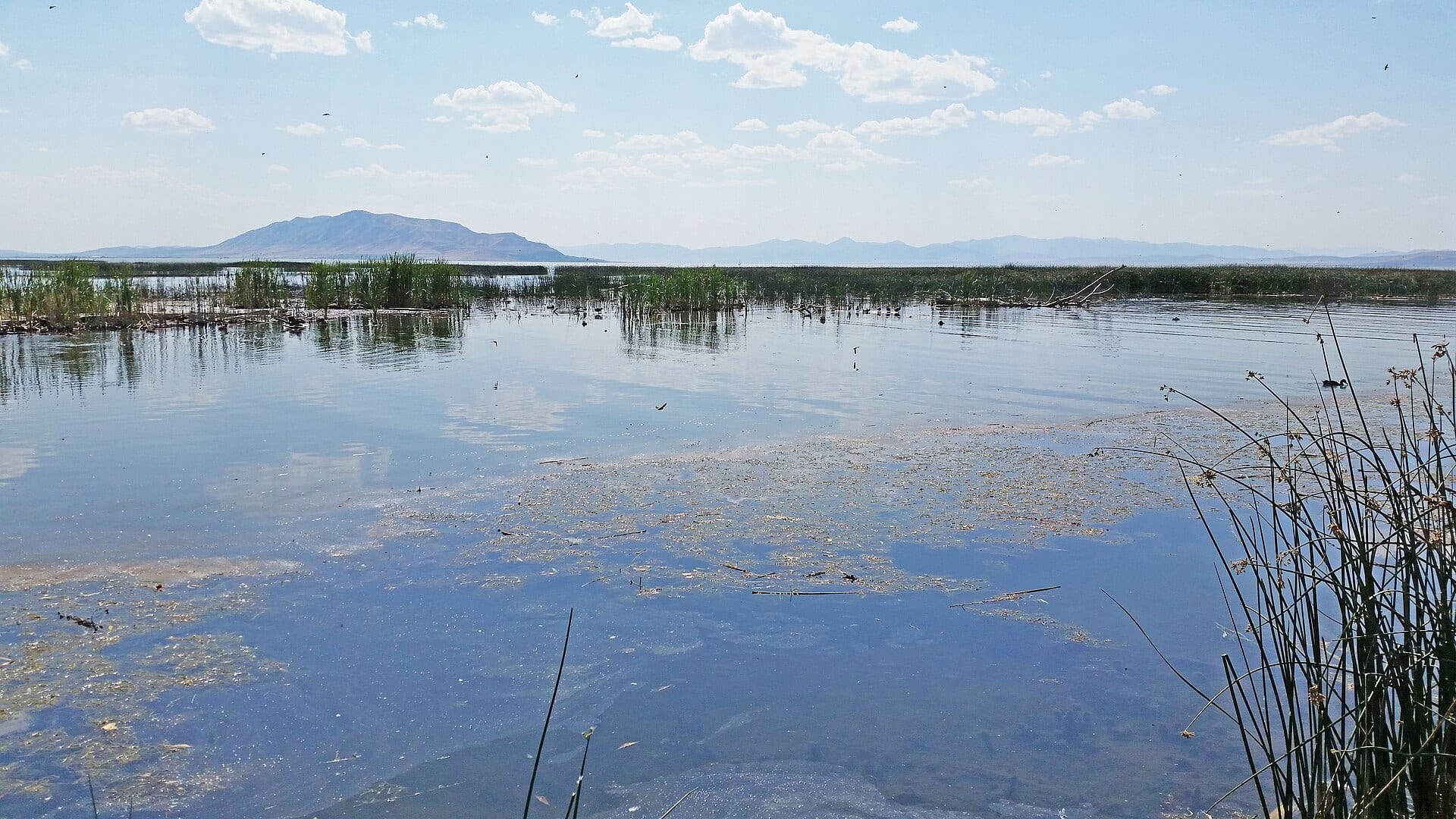
Area description
Use Utah DWR and local signs to separate public corridors from private land.
Do not assume every visible bank is public.
Pressure can be high; good etiquette matters.
Area description
A different section with different flow and access decisions.
Do not assume every visible bank is public.
Pressure can be high; good etiquette matters.
How to fish it
The Provo is one of Utah's best-known trout rivers, but it is also pressured and access-sensitive. This report uses the Heber City/River Road gauge for Middle Provo planning.
The NWS forecast is near 96F. Without live water temperature, heat risk needs a conservative check.
An active alert is in effect: Red Flag Warning issued August 2 at 12:28PM MDT until August 2 at 10:00PM MDT by NWS Salt Lake City UT. Check public safety sources before going.
USGS shows 194 cfs with a stable over about 6 hours trend. Today's flow is within the normal seasonal range of 155 cfs to 414 cfs. Weather, water temperature, and access are the next checks.
Summer: PMDs, caddis, terrestrials, and morning/evening windows are important.
Skip the Provo when you cannot confirm the exact public access, when crowds make every likely run combative, when winter ice changes footing, or when summer heat makes trout handling poor.
Read the water
The Provo is most rewarding when flows are stable and you fish carefully. Expect educated trout, clear water, and a need for good drifts, light tippet, and thoughtful access choices.
Use long leaders, small flies, and careful positioning.
Nymph seams, riffle drops, and undercut banks with clean drifts.
Fish edges and avoid unsafe crossings or aggressive midstream wading.
Walk farther, fish secondary water, and use etiquette around anglers already set up.
Your trip plan
Use RiverReports and USGS 10155200 as the Middle Provo trend check. Stable flows are the best fit for small-fly drifts; abrupt bumps, icy banks, or low warm water should push you to softer edges, a different section, or a backup river.
Skip the Provo when you cannot confirm the exact public access, when crowds make every likely run combative, when winter ice changes footing, or when summer heat makes trout handling poor.
Choose the section before choosing flies. Fish the Middle Provo when you want technical meadow and riffle work near Heber City; compare the Lower Provo separately if dam releases, traffic, or access point choice make that a better fit.
If the Provo is too crowded, too icy, or too warm, compare the Weber for another access-sensitive Wasatch plan, the Green for a clearer tailwater objective, or the Duchesne for a freestone alternative.
Hatches & flies
 Fly pattern · report suggests “Zebra midge”Zebra MidgeLook for a very slim tapered thread body, evenly spaced contrasting wire rib, a small bead, and no tail or wing. The reviewed classic is black with silver wire and a silver bead. Red, olive, brown, glass-bead, jig-hook, resin-coated, or tailed forms must remain labeled variations rather than replacing the classic identity.See photos & how to fish it ↗
 Fly family · report suggests “scud”Scud Fly PatternsScud patterns typically use a curved hook, tapered dubbed body, shellback, rib segmentation, antennae, and brushed legs. Olive, tan, gray, orange, weighted, bead-body, and pregnant forms remain labeled—not aliases for one recipe.See family guide ↗+ 3 more reviewed guides in the Fly Box
  Fly family · report suggests “BWO emerger”Blue-Winged Olive PatternsBWO describes a hatch group, not one fly. Nymph, emerger, dry, cripple, and spinner profiles must stay separate because they occupy different parts of the water column.See family guide ↗
 Fly family · report suggests “midge cluster”Midge Patterns by StageMidge wording can mean a threadlike larva, wing-padded pupa, film emerger, tiny adult, or visible cluster. Those profiles fish at different depths.See family guide ↗+ 3 more reviewed guides in the Fly Box
  Fly family · report suggests “Cicada”Cicada PatternsCicada species differ in size, color, wing tone, and seasonal timing. The family map emphasizes the broad body, transparent roof-like wings, and strong legs without assigning one exact local species.See family guide ↗
 Fly family · report suggests “PMD emerger”Pale Morning Dun PatternsPMD names an insect group, not one fly. Pale nymphs, trailing-shuck emergers, upright or low-riding duns, cripples, and spent-wing spinners stay visibly separate.See family guide ↗+ 4 more reviewed guides in the Fly Box Fly family · report suggests “BWO emerger”Blue-Winged Olive PatternsBWO describes a hatch group, not one fly. Nymph, emerger, dry, cripple, and spinner profiles must stay separate because they occupy different parts of the water column.See family guide ↗Fly pattern · report suggests “zebra midge”Zebra MidgeLook for a very slim tapered thread body, evenly spaced contrasting wire rib, a small bead, and no tail or wing. The reviewed classic is black with silver wire and a silver bead. Red, olive, brown, glass-bead, jig-hook, resin-coated, or tailed forms must remain labeled variations rather than replacing the classic identity.See photos & how to fish it ↗+ 3 more reviewed guides in the Fly Box
 Approach slowly and fish the near water before stepping into the river.
Use small midge, BWO, and PMD nymphs under light indicators in clear water.
Fish dry flies only after confirming rise forms and insect stage.
Try small streamers near banks and deeper bends during low light or higher flows.
Respect public access signs, private land, and anglers already working a run.
Rules & closures
Open the agency page to confirm the exact river section, species, season, tackle rules, limits, and emergency closures.
Official links checkedWe checked the state source but did not find a clearly supported exception for this river. Check the official rules for the exact section you plan to fish.
This summary helps with trip planning. The linked agency rule is the one you must follow.
Updates from anglers
Recent observations from general areas of Provo River. We review every update before it appears and never publish exact fishing spots, private access details, or photo locations.
You can still use the river plan above. Check back later for recent observations from other anglers.
Where this report comes from
Fishing guidance checked: Jun 1, 2026
Site check: Jul 14, 2026. We regularly test report links, live scores, flow and weather data, and page loading. The content date changes only when the fishing guidance or its sources change.
Common questions
Check Utah rules, stream access, RiverReports or USGS 10155200, weather, crowds, and temperature.
Start with the Middle Provo near Heber City if you want the page's gauge and access context to match.
Yes in many public reaches at safe flows, but private boundaries and pressure make planning important.
Bring the seasonal fly box, then adjust size, weight, and color to the water level, clarity, temperature, and fishing pressure you find.