7-day U.S. Geological Survey chart
Recent flow
Discharge
2,260 cfs1,060 cfs
Oct 16Oct 23
Latest reading: 1,260 cfs. Rising over about 6 hours. Chart covers Oct 16 through Oct 23; readings are provisional and may be revised.
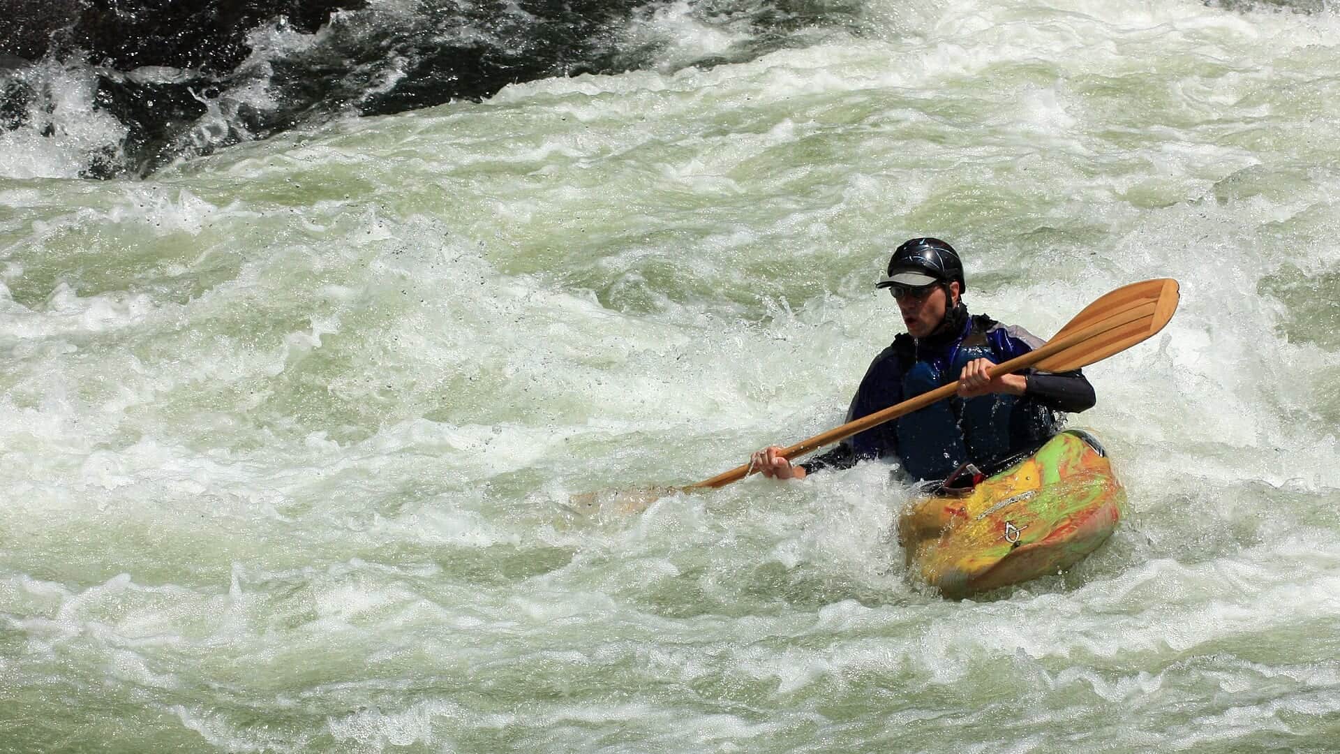
Photo: flickr user "Truello" = Andy from Pittsburgh, USA Opens in a new tab. · CC BY 2.0
Flow is high for this time of year.
Best option: Floating. A float can fit better than wading only if launches, shuttle, boat skill, wind, and local rules all check out.
Rating updatedRiver local time:
USGS shows 1,260 cfs. The flow has been rising about 18% over about 6 hours. USGS marks this reading provisional and may revise it. USGS records for this date (1941-2026, 86 readings) show a median near 854 cfs and the upper quartile near 1,120 cfs; today's flow is high for the date. Fishable water may exist, but do not rate it highly without a safe access, clarity, and wading or boat plan.
NWS air forecast near
Discharge
Latest reading: 1,260 cfs. Rising over about 6 hours. Chart covers Oct 16 through Oct 23; readings are provisional and may be revised.
Clear
The National Weather Service forecast is temporarily unavailable.
Current U.S. Geological Survey gauge: Youghiogheny River below Confluence
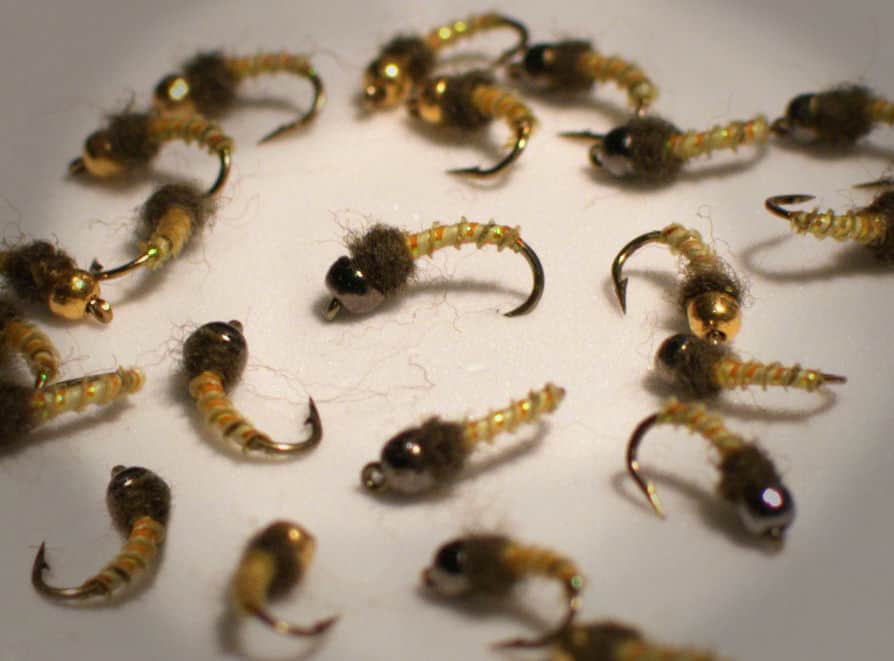
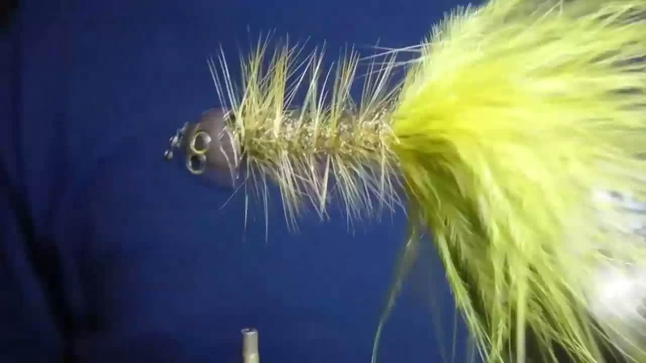
Seasonal starting points, not a live hatch report. Match what you see on the water.
Each fly name opens its matching Fly Box guide.
The Yough rewards anglers who match flow and access first. When releases and weather line up, nymphs, streamers, and caddis or mayfly windows can be good. When water is high, safety wins.
Look for safe edges, boulder seams, and riffle transitions before wading far.
Prioritize shore or boat tactics, and skip unsafe crossings.
Use longer leaders, smaller nymphs, and low-profile streamer retrieves.
Watch temperature and shift toward smallmouth or avoid trout stress when needed.
These scores compare the risks of wading, bank fishing, and floating.
Wading is the most sensitive plan today. Use protected edges only, avoid crossings, and downgrade quickly if clarity or current feels wrong.
Bank and edge fishing is the safer default when water is high, pushy, or not fully verified.
A float can fit better than wading only if launches, shuttle, boat skill, wind, and local rules all check out.
Is Youghiogheny River worth the trip today? Check flow, weather, hatches, access, and rules for Pennsylvania before you go.
The useful fly-fishing plan is the below-Confluence and Ohiopyle area, not a vague full-river report. Check USGS 03081000, PFBC reach rules, and whitewater safety before choosing wade or float tactics.
USGS shows 1,260 cfs. The flow has been rising about 18% over about 6 hours. USGS marks this reading provisional and may revise it. USGS records for this date (1941-2026, 86 readings) show a median near 854 cfs and the upper quartile near 1,120 cfs; today's flow is high for the date. Fishable water may exist, but do not rate it highly without a safe access, clarity, and wading or boat plan.
Float: A float can fit better than wading only if launches, shuttle, boat skill, wind, and local rules all check out.
Fall: Streamer fishing and cooler water can make the river more interesting.
USGS water temperature is about 61.2F, and the rolling 24-hour high did not trigger a heat caution. USGS marks the temperature data provisional and may revise it.
No active NWS alert was returned for this forecast point.
Use USGS 03081000 below Confluence as the primary live flow check for this report. Stable readable flow is best. High releases, pushy seams, or poor exits should move the plan to banks, a boat, or another stream.
Skip or pivot when flows make crossings unsafe, storms are nearby, trout temperatures are stressful, whitewater traffic crowds the area, or the intended access and exit are not confirmed.
Start with the Confluence gauge, PFBC rules and fisheries-plan context, DCNR Ohiopyle information, USACE recreation information, weather, and one realistic access or float plan. Decide trout, streamer, or smallmouth before rigging.
If the Youghiogheny is high, crowded, too warm, or logistically awkward, compare Laurel Hill Creek for smaller trout water, Slippery Rock Creek for freestone fishing, or Clarion River for another western Pennsylvania river option.
Use these places as starting points. Open the access link below and check posted signs before you park or enter.
Check PFBC rules for the exact Youghiogheny River reach before fishing, especially below Confluence and through the Ohiopyle area.
Core orientation for the below-Confluence trout plan.
PFBC and DCNR sources identify important managed trout and recreation context.
Useful for trail, whitewater, and big-river access planning.
Official agencies and primary river operators come first. Secondary tools are labeled so you know what carries the most weight.
Check what is allowed, where the rule applies, and whether the river is open.
Check the latest river reading and forecast before you leave.
Check public entry points, land rules, and seasonal access changes.
Use these links for stocking, safety, and other local details.
Check what is allowed, where the rule applies, and whether the river is open.
Open the current rules and check the river section, season, and special limits.
Check the latest river reading and forecast before you leave.
Open this page and check the latest safety advice before your trip.
Open this river reading to check the latest level, flow, and update time.
Check public entry points, land rules, and seasonal access changes.
Open the land or access page, then check signs before you park or enter.
Open the land or access page, then check signs before you park or enter.
Use these links for stocking, safety, and other local details.
Open this page for more river information and check when it was last updated.
What was checked: This Youghiogheny River report is maintained from Pennsylvania Fish and Boat Commission regulations and fisheries-plan sources, DCNR Ohiopyle fishing access guidance, U.S. Army Corps of Engineers Youghiogheny River Lake recreation information, USGS Confluence flow data, weather, media-credit, and Laurel Highlands big-river planning sources.
Live measurements and forecasts keep their provider timestamps. Rules, access, and trip guidance use the source-review date shown here. BlueStreamFly planning advice is editorial interpretation, not an agency notice.
First-hand experience: BlueStreamFly does not claim a first-hand visit or local field test for this report unless a real contributor is explicitly named and linked.
Check PFBC reach rules, USGS 03081000, dam release context, weather, and Ohiopyle safety information.
Start with Confluence, Ramcat, or Ohiopyle planning points, then match the access to current flow.
Sometimes, but this is powerful water. Skip wading when flows, releases, or boat traffic make it unsafe.
Bring the seasonal fly box, then adjust size, weight, and color to water level, clarity, temperature, and fishing pressure.