Wade · Best fit96/100
Wading is in play only where your chosen access has clear footing, legal entry, and no forced crossings.
Fly fishing report · Northeast
An Adirondack Schroon River report for Riverbank flows, PFR access, stocked trout and salmon context, hatches, tactics, and rules.
Check flow & weatherUSGS shows 2.20 ft with a no clear trend trend, which is the cleanest starting signal.
Compare wading, bank fishing, and floating before choosing how you will fish.
Wading is in play only where your chosen access has clear footing, legal entry, and no forced crossings.
Bank and edge fishing remains a practical low-commitment option if access is legal and footing is safe.
This report does not describe this as a primary mode. Verify legal access, depth, launches, and retreat options before planning around it.
Check before you drive
Look at whether the river is rising or falling, then check wind, rain, and storms. These can change both safety and fishing.
Before you rely on this report
Conditions can change quickly. Check these dates before you decide to fish, and open the official source when safety or rules matter.
High confidence in the current score inputs.
8 sources are listed below for you to open.
3 public access records are listed. Private spots are never shown.
Source checked Jul 30, 2026
Plan your access
These are public parking, launch, trail, or recreation areas—not secret fishing spots. We never show an angler's private pins, notes, or photos here.
Area description
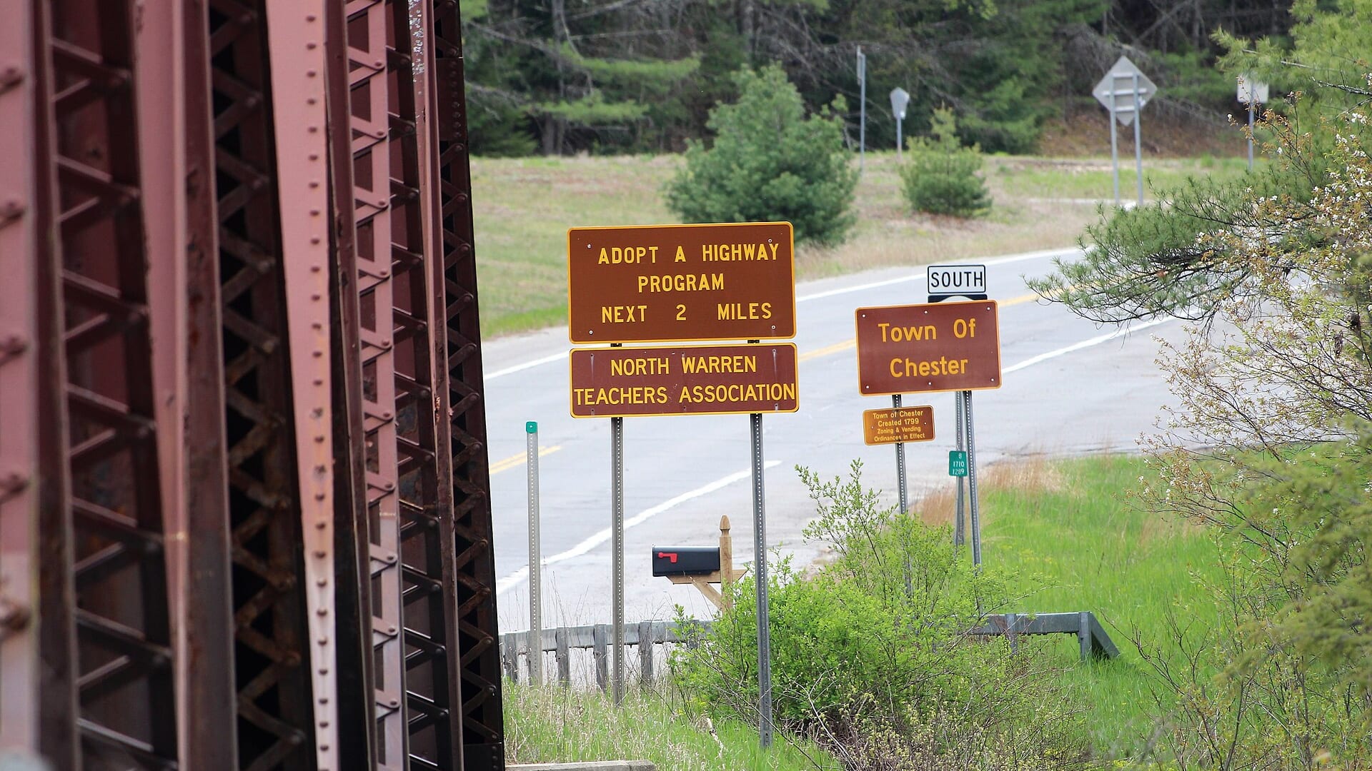
DEC PFR map breaks out upper access sections.
PFR access is for fishing only and usually follows a narrow bank easement.
Do not use private lawns or informal pull-offs as access unless clearly allowed.
Area description
Lower river access and planning context.
PFR access is for fishing only and usually follows a narrow bank easement.
Do not use private lawns or informal pull-offs as access unless clearly allowed.
Area description
Primary flow reference for lower-river decisions.
PFR access is for fishing only and usually follows a narrow bank easement.
Do not use private lawns or informal pull-offs as access unless clearly allowed.
How to fish it
The Schroon is an Adirondack trout and salmon-stocked river where access and flow planning matter. Use the PFR map and Riverbank gauge before committing to a reach.
USGS shows 2.20 ft with a no clear trend trend, which is the cleanest starting signal.
Early summer: Caddis, cahills, terrestrials, and dry-dropper fishing can work.
The NWS forecast is about 73F with Slight Chance Rain Showers.
No active NWS alert was returned for this forecast point.
Skip or pivot when stage is rising, banks are flooded, thunderstorms are nearby, water is too warm for trout handling, public access is uncertain, or Region 5 and trout-stream rules for the exact reach are not confirmed.
Read the water
Fish the Schroon when the Riverbank gauge is stable, water is cool, and legal access is clear. If flows are high, focus on bank edges or wait.
Best mix of wading, nymphing, dry-dropper fishing, and streamer edges.
Use banks and softer inside seams; skip crossings.
Use smaller flies, longer leaders, and shaded approaches.
Check temperature and shift away from trout if water is stressful.
Your trip plan
Use USGS 01317000 at Riverbank and the NWS River Forecast Center together. Because the public gauge support is stage-focused, pair it with trend, recent rain, visibility, and safe edge checks before wading.
Skip or pivot when stage is rising, banks are flooded, thunderstorms are nearby, water is too warm for trout handling, public access is uncertain, or Region 5 and trout-stream rules for the exact reach are not confirmed.
Start with Riverbank stage, the river forecast context, and one public access plan near the Hammond Pond or Chester-side river corridor. Fish edges, seams, shaded banks, and deeper bends before moving far.
If the Schroon is high, warm, crowded, or unclear on access, compare the Saranac River for Lake Champlain tributary context, the West Branch Ausable for pocket-water trout, or the Battenkill for a different northern New York style.
Hatches & flies
 Fly pattern · report suggests “Zebra midge”Zebra MidgeLook for a very slim tapered thread body, evenly spaced contrasting wire rib, a small bead, and no tail or wing. The reviewed classic is black with silver wire and a silver bead. Red, olive, brown, glass-bead, jig-hook, resin-coated, or tailed forms must remain labeled variations rather than replacing the classic identity.See photos & how to fish it ↗
 Fly family · report suggests “black stonefly nymph”Black Stonefly PatternsBlack stonefly wording is a color and insect-group label, not one exact recipe. Size, nymph versus adult stage, wing profile, and weighting must remain explicit.See family guide ↗+ 3 more reviewed guides in the Fly Box
  Fly family · report suggests “March Brown”March Brown Dry FliesThis family includes traditional hackled, parachute, and Comparadun-style March Brown dries. Each exact construction rides differently and should be named when known.See family guide ↗
 Fly family · report suggests “sulphur emerger”Sulphur Mayfly PatternsSulphur is hatch wording. Nymphs, emergers, Comparaduns, parachutes, traditional dries, soft hackles, and spinners have different silhouettes and depths.See family guide ↗+ 3 more reviewed guides in the Fly Box
  Fly pattern · report suggests “Stimulator”StimulatorLook for a hair tail, dubbed abdomen with palmered hackle, tented hair wing, contrasting front hackle, and bright thorax or head. Colors and sizes vary widely and must remain labeled.See photos & how to fish it ↗
 Fly pattern · report suggests “parachute Adams”Parachute AdamsThe upright light post and horizontal parachute hackle are the defining visual cues. The classic pilot example uses a gray-brown body and divided tail, but color and size variations should be labeled instead of treated as identical.See photos & how to fish it ↗+ 4 more reviewed guides in the Fly Box
  Fly family · report suggests “BWO”Blue-Winged Olive PatternsBWO describes a hatch group, not one fly. Nymph, emerger, dry, cripple, and spinner profiles must stay separate because they occupy different parts of the water column.See family guide ↗
 Fly family · report suggests “October caddis”October Caddis PatternsOctober Caddis names a hatch group. Amber or orange pupae, soft-hackle or wet forms, and large tent-wing adults fish at different levels.See family guide ↗+ 3 more reviewed guides in the Fly Box
 Use the PFR map to choose a legal reach before starting the day.
Nymph deeper runs and seams when fish are not rising.
Fish caddis, BWOs, and attractor dries during active surface windows.
Use streamers around bank cover and depth changes after safe rain stain.
If trout water warms, switch species or wait for cooler conditions.
Rules & closures
Open the agency page to confirm the exact river section, species, season, tackle rules, limits, and emergency closures.
Official links checkedWe checked the state source but did not find a clearly supported exception for this river. Check the official rules for the exact section you plan to fish.
This summary helps with trip planning. The linked agency rule is the one you must follow.
Updates from anglers
Recent observations from general areas of Schroon River. We review every update before it appears and never publish exact fishing spots, private access details, or photo locations.
You can still use the river plan above. Check back later for recent observations from other anglers.
Where this report comes from
Fishing guidance checked: May 31, 2026
Site check: Jul 14, 2026. We regularly test report links, live scores, flow and weather data, and page loading. The content date changes only when the fishing guidance or its sources change.
Common questions
Check Riverbank stage, PFR access, Region 5 rules, water temperature, and recent rain.
Yes. Region 5 special rules and inland trout rules can apply, and PFR access is section-specific.
Yes at moderate levels, but high spring flows and slick ledge can make wading unsafe.
Bring the seasonal hatch box, a nymph box, a few streamers, and a backup plan for clear, high, warm, or crowded water.