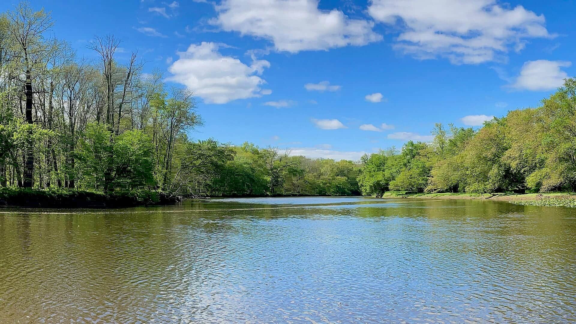
7-day U.S. Geological Survey chart
Recent flow
Discharge
50 cfs30 cfs
Oct 15Oct 22
Latest reading: 30 cfs. Stable over about 6 hours. Chart covers Oct 15 through Oct 22; readings are provisional and may be revised.
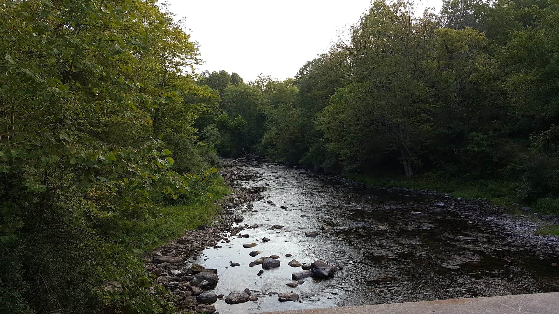
No single best way to fish. Wading and Floating have the same top score. Use current access, footing, weather, and local rules to choose.
Rating updatedRiver local time:
USGS shows 30 cfs. The flow has been stable over about 6 hours. USGS marks this reading provisional and may revise it. USGS records for this date (1924-2026, 103 readings) show a typical middle range of 16 cfs to 70 cfs. Flow is within the typical range for this date, so weather, temperature, and access become the next checks.
NWS air forecast near
This is an air forecast, not a river-temperature reading. Check the water with a stream thermometer before fishing in hot weather.
Discharge
Latest reading: 30 cfs. Stable over about 6 hours. Chart covers Oct 15 through Oct 22; readings are provisional and may be revised.
Mostly Clear
The National Weather Service forecast is temporarily unavailable.
Current U.S. Geological Survey gauge: Flat Brook near Flatbrookville
Seasonal starting points, not a live hatch report. Match what you see on the water.
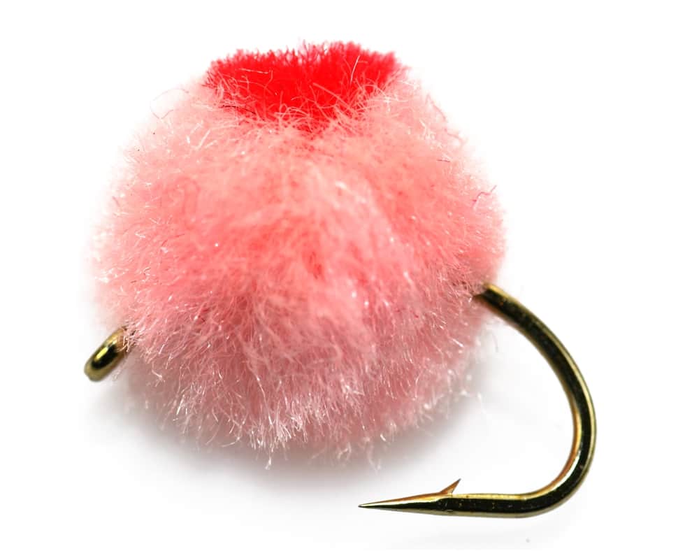
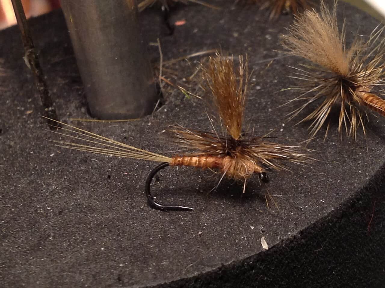
Also try trico spinner, dry-dropper
Each fly name opens its matching Fly Box guide.
Fish it on cool stable flows when clarity is good and trout handling is safe. Low warm summer water, muddy runoff, or unclear access should push you to a different plan.
Use small nymphs, dries, scuds, and careful dry-dropper rigs.
Lengthen leaders, downsize flies, and move slowly.
Try a small bugger or larger nymph near banks.
Fish early or skip trout handling.
Wading and Floating have the same top score. Use current access, footing, weather, and local rules to choose.
Wading is in play only where your chosen access has clear footing, legal entry, and no forced crossings.
This report does not recommend bank fishing on this reach.
A float is in play where this report supports boat access and wind, releases, and shuttle logistics are manageable.
Is Flat Brook worth the trip today? Check flow, weather, hatches, access, and rules for New Jersey before you go.
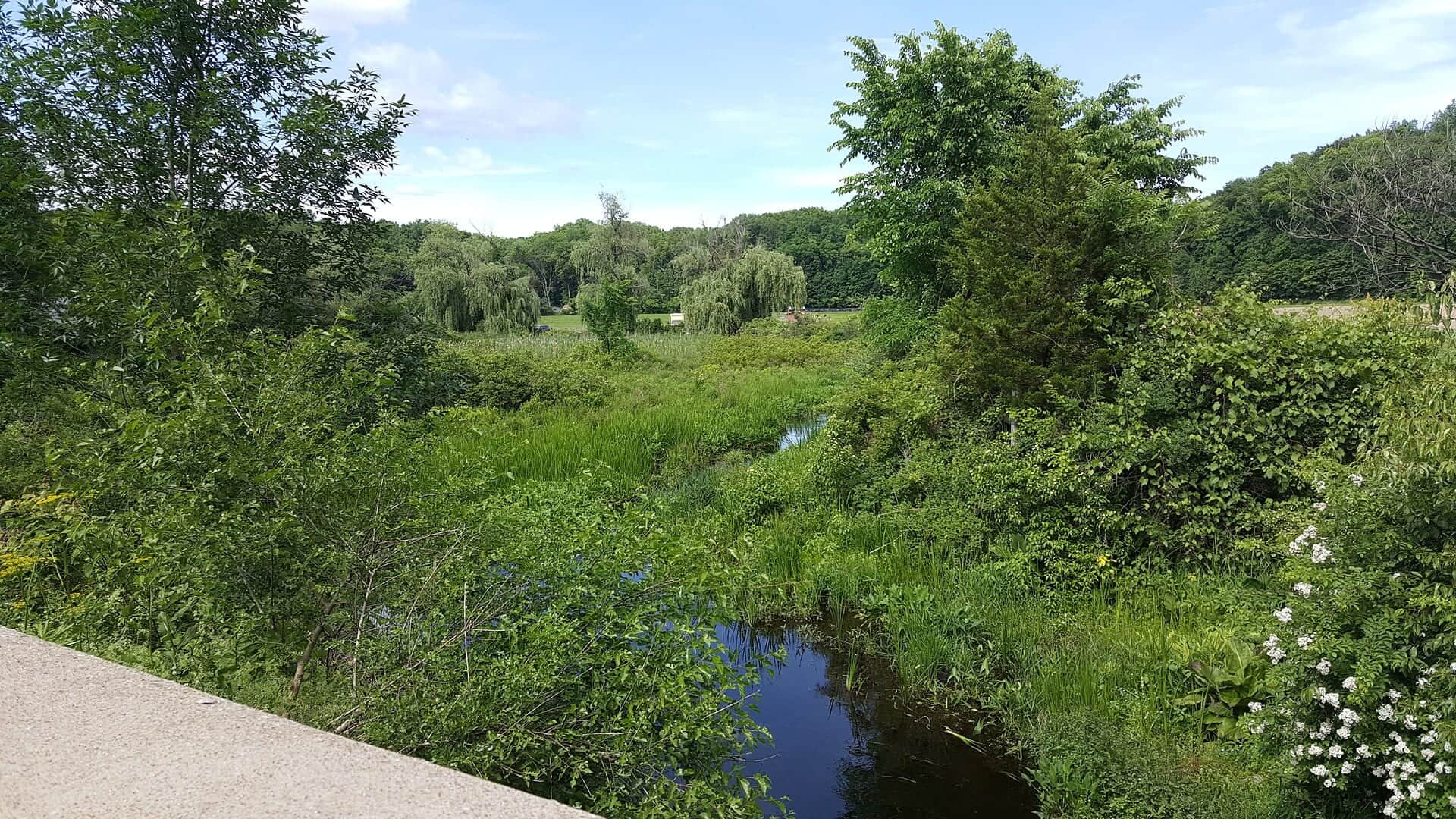
Flat Brook can be one of New Jersey's better trout plans when water is cool, clear, and not too low. The key is matching the reach to the rules, especially the catch-and-release section and spring stocking closure details.
USGS shows 30 cfs. The flow has been stable over about 6 hours. USGS marks this reading provisional and may revise it. USGS records for this date (1924-2026, 103 readings) show a typical middle range of 16 cfs to 70 cfs. Flow is within the typical range for this date, so weather, temperature, and access become the next checks.
Fall and winter: BWOs, midges, scuds, and quieter C&R-style fishing where legal.
The current NWS air forecast is about 39F, and the next 24-hour high reaches about 65F. Mostly Clear.
No active NWS alert was returned for this forecast point.
Skip Flat Brook when water is warm enough to stress trout, when the Flatbrookville gauge is flashing runoff or very low late-summer flow, when parking or access boundaries are unclear, or when you need a bigger river that tolerates pressure better.
Use USGS 01440000 near Flatbrookville as the live trend. Stable or slowly dropping flow is the cleanest signal. Very low summer water, muddy runoff, or fast rises should shorten the plan or move the day to a different trout river.
Skip Flat Brook when water is warm enough to stress trout, when the Flatbrookville gauge is flashing runoff or very low late-summer flow, when parking or access boundaries are unclear, or when you need a bigger river that tolerates pressure better.
Choose the reach first: Roy Bridge and the catch-and-release context when you want a rule-focused trout day, Flatbrookville for the gauge and easier public planning, or Delaware Water Gap access only after confirming park and road conditions.
If Flat Brook is too low, warm, muddy, or crowded, compare the Musconetcong, Pequest, or South Branch Raritan for stronger flow support and a more durable trout plan.
Use these places as starting points. Open the access link below and check posted signs before you park or enter.
New Jersey trout rules include special Flat Brook and Big Flat Brook reach details. Check current trout rules and access notes before fishing.
Core rule reach to verify before fishing.
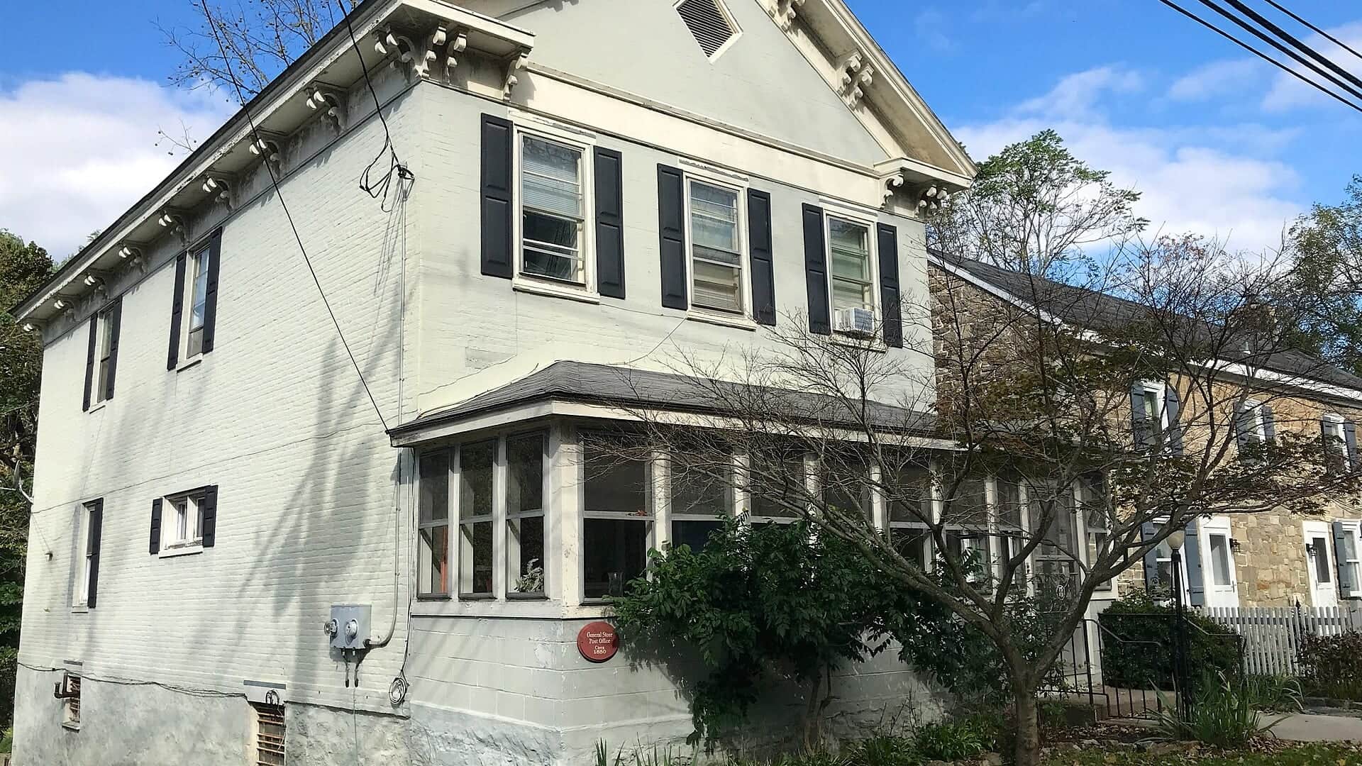
Important gauge and public-access planning area.
Remote access planning with park and road conditions to consider.
Official agencies and primary river operators come first. Secondary tools are labeled so you know what carries the most weight.
Check what is allowed, where the rule applies, and whether the river is open.
Check the latest river reading and forecast before you leave.
Check public entry points, land rules, and seasonal access changes.
Use these links for stocking, safety, and other local details.
Check what is allowed, where the rule applies, and whether the river is open.
Open the current rules and check the river section, season, and special limits.
Open the current rules and check the river section, season, and special limits.
Check the latest river reading and forecast before you leave.
Open this page and check the latest safety advice before your trip.
Open this river reading to check the latest level, flow, and update time.
Check public entry points, land rules, and seasonal access changes.
Open the land or access page, then check signs before you park or enter.
Open the land or access page, then check signs before you park or enter.
Use these links for stocking, safety, and other local details.
Open this page for stocking or fish population information.
What was checked: This report is maintained from current regulation, access, flow, weather, and public planning sources so anglers can make better trip decisions than a raw gauge or generic overview would allow.
Live measurements and forecasts keep their provider timestamps. Rules, access, and trip guidance use the source-review date shown here. BlueStreamFly planning advice is editorial interpretation, not an agency notice.
First-hand experience: BlueStreamFly does not claim a first-hand visit or local field test for this report unless a real contributor is explicitly named and linked.
Check the USGS Flatbrookville gauge, NJ trout rules, access list, stocking information, weather, and water temperature.
Yes. The Flat Brook/Big Flat Brook system has special reach rules, including catch-and-release water.
Bring the hatch-chart flies, a few confidence nymphs, and a streamer or warmwater box that matches the river's species. Then adjust for water temperature, clarity, and the insects or baitfish you actually see.
Yes in many places at normal flows, but access and rule boundaries matter. Use official access points.
Skip it when flows are unsafe, water is too warm for trout, emergency closures are active, or legal access for the reach is not clear.