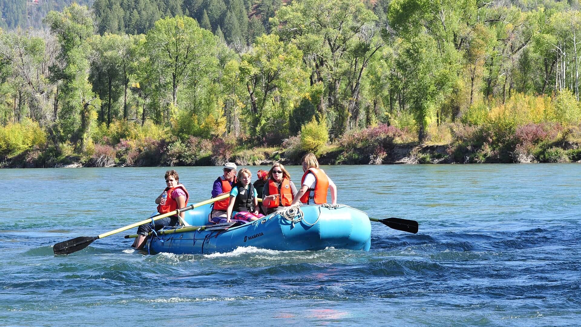
RiverReports preview · current series loading
Recent flow
RiverReports gauge
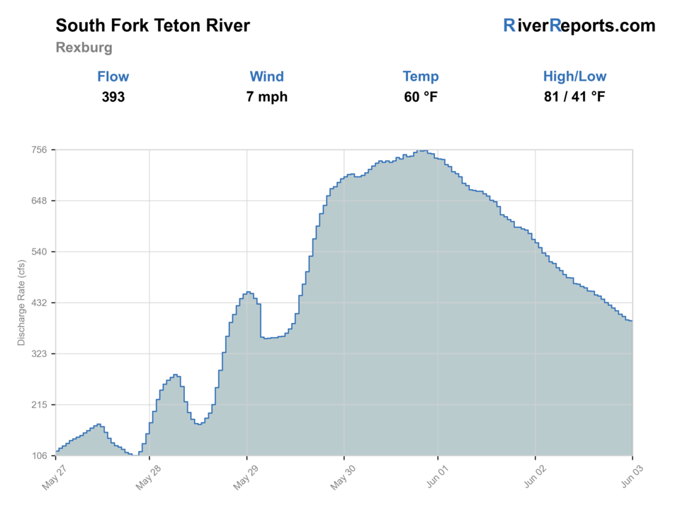
Showing the available RiverReports chart while the current structured flow series loads. Check the chart on RiverReports Opens in a new tab.
No access method is recommended today. Review the live conditions below before choosing another river or day.
Rating updatedRiver local time:
An active alert is in effect: Flash Flood Watch issued October 22 at 1:51AM MDT until October 23 at 6:00PM MDT by NWS Pocatello ID. Check public safety sources before going.
Flash Flood Watch issued October 22 at 1:51AM MDT until October 23 at 6:00PM MDT by NWS Pocatello ID
NWS air forecast near
This is an air forecast, not a river-temperature reading. Check the water with a stream thermometer before fishing in hot weather.
RiverReports gauge
Showing the available RiverReports chart while the current structured flow series loads. Check the chart on RiverReports Opens in a new tab.
Mostly Sunny
The National Weather Service forecast is temporarily unavailable.
RiverReports gauge: SF Teton River near Rexburg
Seasonal starting points, not a live hatch report. Match what you see on the water.
Also try dry-dropper
Each fly name opens its matching Fly Box guide.
The South Teton is best as a short, careful small-water plan when the gauge is steady, water is cool, and access is obvious. It loses value during low warm summer periods, high muddy pulses, or any time the legal season and cutthroat rules do not support the trip.
Best for short dry-dropper rigs, small nymphs, and careful bank approaches.
Usually a reason to fish early, shorten the session, or skip trout fishing entirely.
Wait for visibility to recover. Small smaller streams lose fishability quickly when stained.
Can fish with nymphs and small streamers when rules and access allow.
No access method is recommended in today's conditions. Review the live river and weather checks before making another plan.
Not recommended today. Recheck the river, weather, and access before planning another trip.
Not recommended today. Recheck the river, weather, and access before planning another trip.
Not recommended today. Recheck the river, weather, and access before planning another trip.
Is South Teton River near Rexburg worth the trip today? Check flow, weather, hatches, access, and rules for Idaho before you go.
The South Teton near Rexburg can be useful when flows are clear, modest, and cool enough for careful trout fishing. The reach gets less attention than the main Teton, but that does not make it simple: smaller stream rules, low summer water, private edges, and small-water etiquette all matter.
An active alert is in effect: Flash Flood Watch issued October 22 at 1:51AM MDT until October 23 at 6:00PM MDT by NWS Pocatello ID. Check public safety sources before going.
USGS shows 71 cfs. The flow has been stable over about 6 hours. USGS marks this reading provisional and may revise it. USGS records for this date (1986-2026, 40 readings) show a median near 117 cfs and the lower quartile near 72 cfs; today's flow is below normal for the date. This is below normal, so edge depth, temperature, and pressure matter.
Fall: A better low-pressure window when flows and rules line up.
The current NWS air forecast is about 43F, and the next 24-hour high reaches about 69F. Mostly Sunny.
Skip when tributary rules are closed, water is muddy, or low warm conditions would stress trout.
Clear, modest flows that keep enough depth in buckets without making crossings muddy or pushy.
Skip when smaller stream rules are closed, water is muddy, or low warm conditions would stress trout.
Base in Rexburg, check IDFG first, confirm public access, then fish short sections slowly with light rigs.
Use the main Teton, Teton at Driggs, or South Fork Snake when the South Teton is too low, warm, or access-limited.
Use these places as starting points. Open the access link below and check posted signs before you park or enter.
Check Idaho Fish and Game rules for the South Teton River and Henrys Fork smaller streams before fishing, including season dates and cutthroat harvest restrictions.
Use the city area as the orientation base, then confirm legal public entry before fishing.
A Rexburg public-recreation reference point for local area planning, not a license to cross private land.
Fish only where access and parking are clearly legal.
Official agencies and primary river operators come first. Secondary tools are labeled so you know what carries the most weight.
Check what is allowed, where the rule applies, and whether the river is open.
Check the latest river reading and forecast before you leave.
Check public entry points, land rules, and seasonal access changes.
Check what is allowed, where the rule applies, and whether the river is open.
Open the current rules and check the river section, season, and special limits.
Check the latest river reading and forecast before you leave.
Open this page and check the latest safety advice before your trip.
Open this river reading to check the latest level, flow, and update time.
Open this river reading to check the latest level, flow, and update time.
Check public entry points, land rules, and seasonal access changes.
Open the land or access page, then check signs before you park or enter.
What was checked: This report uses official regulation, flow, weather, access, and public-land sources first, then adds practical planning guidance for fly anglers.
Live measurements and forecasts keep their provider timestamps. Rules, access, and trip guidance use the source-review date shown here. BlueStreamFly planning advice is editorial interpretation, not an agency notice.
First-hand experience: BlueStreamFly does not claim a first-hand visit or local field test for this report unless a real contributor is explicitly named and linked.
No. This page covers the South Teton River near Rexburg, a smaller stream-style water with different access and rule checks.
Use RiverReports for the quick chart and USGS 13055340 SF Teton River near Rexburg ID as the official flow reference.
RiverReports and USGS use South Fork Teton flow language, while Idaho Fish and Game lists the water as South Teton River. The page keeps both clear.