RiverReports preview · current series loading
Recent flow
RiverReports gauge
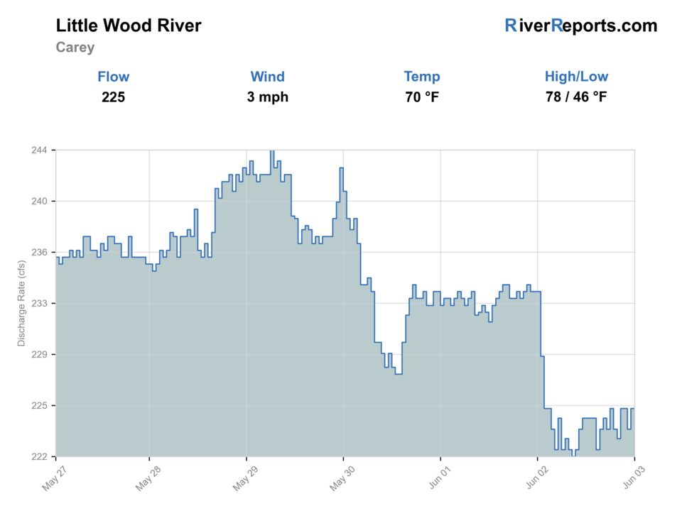
Showing the available RiverReports chart while the current structured flow series loads. Check the chart on RiverReports Opens in a new tab.
Best option: Wading. Wading is in play only where your chosen access has clear footing, legal entry, and no forced crossings.
Rating updatedRiver local time:
USGS shows 2 cfs. The flow has been falling about 16% over about 6 hours. USGS marks this reading provisional and may revise it. USGS records for this date (1927-2025, 99 readings) show a median near 30 cfs and the lower quartile near 4 cfs; today's flow is below normal for the date. This is below normal, so edge depth, temperature, and pressure matter.
NWS air forecast near
This is an air forecast, not a river-temperature reading. Check the water with a stream thermometer before fishing in hot weather.
RiverReports gauge
Showing the available RiverReports chart while the current structured flow series loads. Check the chart on RiverReports Opens in a new tab.
Mostly Cloudy
The National Weather Service forecast is temporarily unavailable.
RiverReports gauge: Little Wood River near Carey
Seasonal starting points, not a live hatch report. Match what you see on the water.
Each fly name opens its matching Fly Box guide.
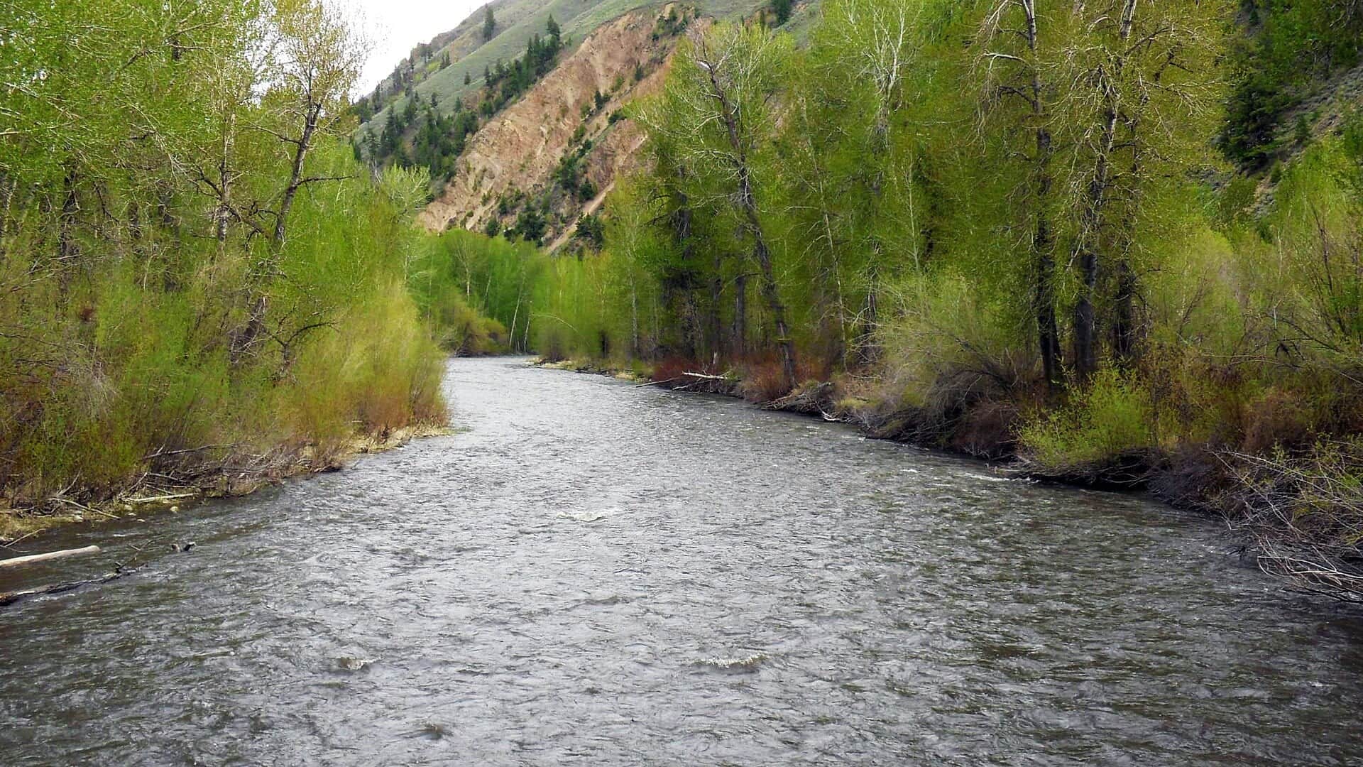
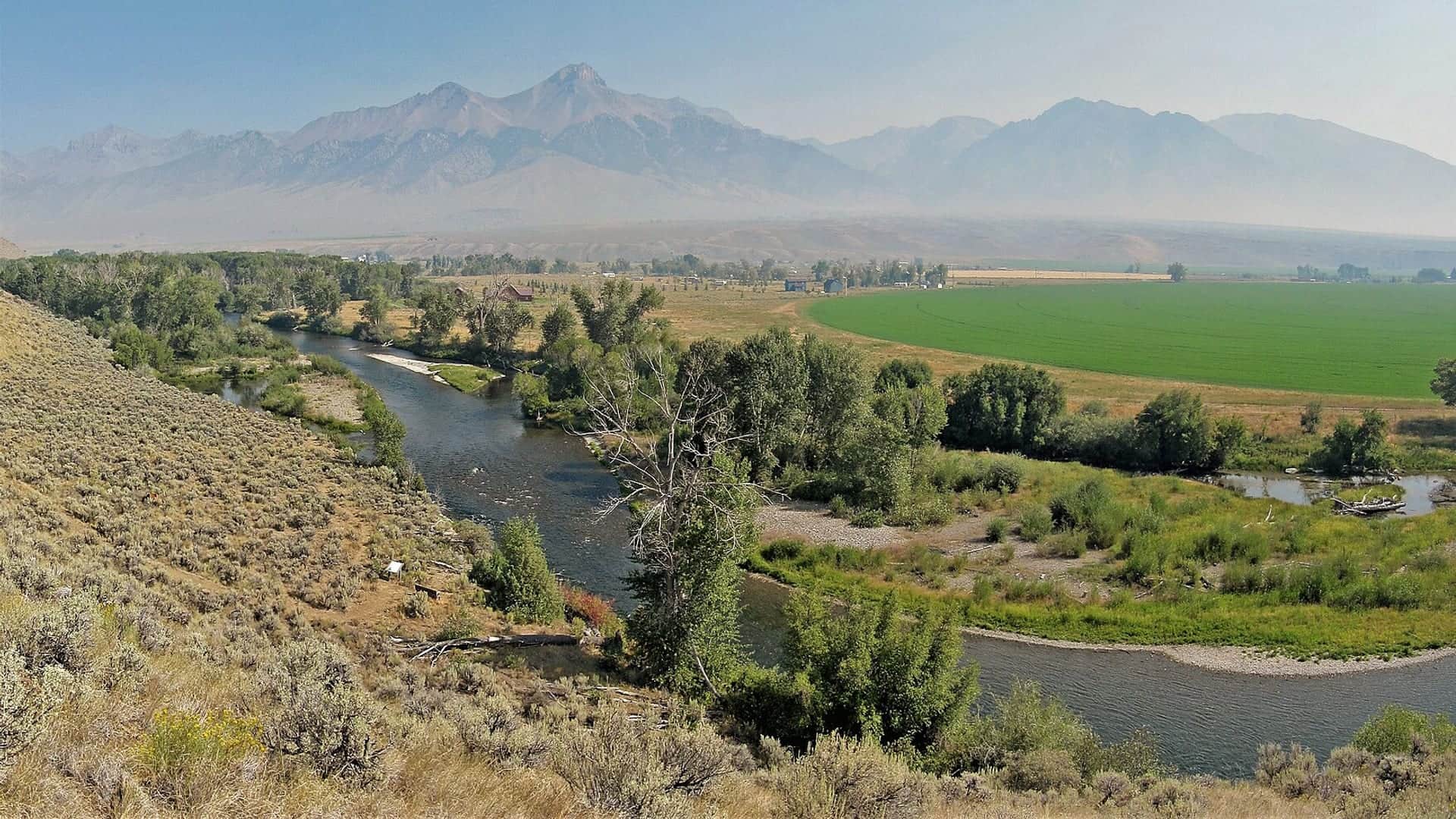
This page is strongest from spring through early summer and again in cooler fall windows, when valley water still has shape and the river feels like trout water instead of an irrigation remnant. It is a finesse wading plan, not a blind mileage plan.
Best for reading willow edges, cut banks, and narrow current seams without over-wading.
Fish smaller flies, longer leaders, and a low profile because open valley cover is limited.
Treat it as a shortened scouting session or move on. Abrupt shape changes make this river fish smaller than it looks.
Use a thermometer and end the trout plan early if the water loses that cool-morning feel.
These scores compare the risks of wading, bank fishing, and floating.
Wading is in play only where your chosen access has clear footing, legal entry, and no forced crossings.
This report does not recommend bank fishing on this reach.
This report does not recommend floating this reach.
Is Little Wood River worth the trip today? Check flow, weather, hatches, access, and rules for Idaho before you go.
The Little Wood is most useful when flows are stable enough to leave defined seams, overnight temperatures keep the valley cool, and you commit to the public-access pockets that still hold trout instead of forcing every visible bend. It drops in value quickly when irrigation swings, summer heat, or low clear water flatten the drift.
USGS shows 2 cfs. The flow has been falling about 16% over about 6 hours. USGS marks this reading provisional and may revise it. USGS records for this date (1927-2025, 99 readings) show a median near 30 cfs and the lower quartile near 4 cfs; today's flow is below normal for the date. This is below normal, so edge depth, temperature, and pressure matter.
Fall: A strong reset season when cooler nights sharpen the best wade-and-watch water.
The current NWS air forecast is about 40F, and the next 24-hour high reaches about 54F. Mostly Cloudy.
No active NWS alert was returned for this forecast point.
Skip when irrigation drops make the river shallow and flat, when hot afternoons warm the valley too much, or when the river looks too clear and too small for honest trout handling.
Stable moderate flows that still leave visible seams, grassy-bank structure, and enough water depth to support a clean drift.
Skip when irrigation drops make the river shallow and flat, when hot afternoons warm the valley too much, or when the river looks too clear and too small for honest trout handling.
Check the Carey gauge early, start at Bear Tracks if the reach fits your rule set, and keep a higher-elevation backup ready before the day heats up.
If the Little Wood feels too low, warm, or thin, move to Big Wood, Big Lost, or Silver Creek after checking current rules and weather for those waters.
Use these places as starting points. Open the access link below and check posted signs before you park or enter.
Idaho Fish and Game lists the upper Little Wood River above Baugh Creek with a 2-trout limit, while the Bear Tracks Williams State Recreation Area section is catch-and-release and fly-fishing only. Check the current planner before you commit to a specific reach.
The clearest official public anchor for the fly-only catch-and-release section.
Useful for short scouting stops when the river still has enough shape to justify open-valley wading.
A public-land context source for more remote area planning away from the easiest roadside water.
Official agencies and primary river operators come first. Secondary tools are labeled so you know what carries the most weight.
Check what is allowed, where the rule applies, and whether the river is open.
Check the latest river reading and forecast before you leave.
Check public entry points, land rules, and seasonal access changes.
Check what is allowed, where the rule applies, and whether the river is open.
Open the current rules and check the river section, season, and special limits.
Check the latest river reading and forecast before you leave.
Open this page and check the latest safety advice before your trip.
Open this river reading to check the latest level, flow, and update time.
Open this river reading to check the latest level, flow, and update time.
Check public entry points, land rules, and seasonal access changes.
Open the land or access page, then check signs before you park or enter.
Open the land or access page, then check signs before you park or enter.
What was checked: This report uses official regulation, flow, weather, access, and public-land sources first, then adds practical planning guidance for fly anglers.
Live measurements and forecasts keep their provider timestamps. Rules, access, and trip guidance use the source-review date shown here. BlueStreamFly planning advice is editorial interpretation, not an agency notice.
First-hand experience: BlueStreamFly does not claim a first-hand visit or local field test for this report unless a real contributor is explicitly named and linked.
Start with RiverReports and USGS 13148500 near Carey, then decide whether current flow and temperature still justify a trout-focused day.
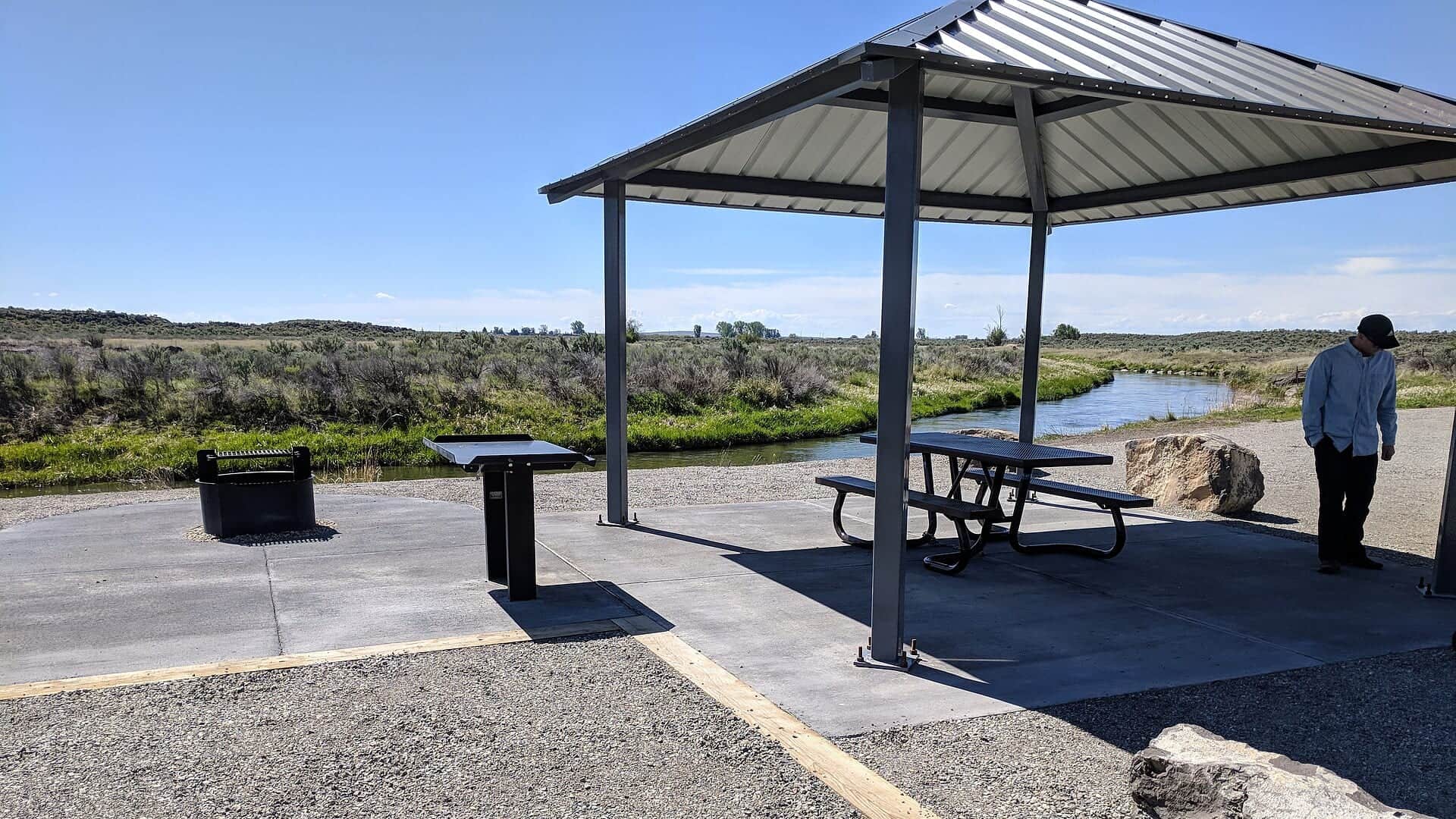
Bear Tracks Williams State Recreation Area is the cleanest official trout access anchor because it pairs clear rules with a defined public area.
Skip when irrigation changes flatten the river, when hot afternoons push water temperatures too high, or when the river looks too low and clear to fish responsibly.