RiverReports preview · current series loading
Recent flow
RiverReports gauge
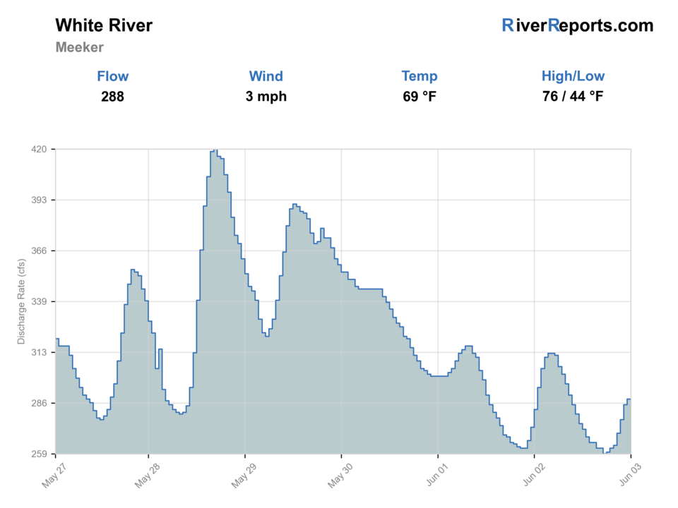
Showing the available RiverReports chart while the current structured flow series loads. Check the chart on RiverReports Opens in a new tab.
No single best way to fish. Wading and Floating have the same top score. Use current access, footing, weather, and local rules to choose.
Rating updatedRiver local time:
USGS shows 262 cfs. The flow has been stable over about 6 hours. USGS marks this reading provisional and may revise it. USGS records for this date (1910-2026, 117 readings) show a median near 377 cfs and a low-water marker near 289 cfs; today's flow is unusually low for the date. Low water can make fish spooky, warm, pressured, or concentrated; check temperature and handling risk.
NWS air forecast near
This is an air forecast, not a river-temperature reading. Check the water with a stream thermometer before fishing in hot weather.
RiverReports gauge
Showing the available RiverReports chart while the current structured flow series loads. Check the chart on RiverReports Opens in a new tab.
Rain Showers Likely
The National Weather Service forecast is temporarily unavailable.
RiverReports gauge: White River near Meeker
Seasonal starting points, not a live hatch report. Match what you see on the water.
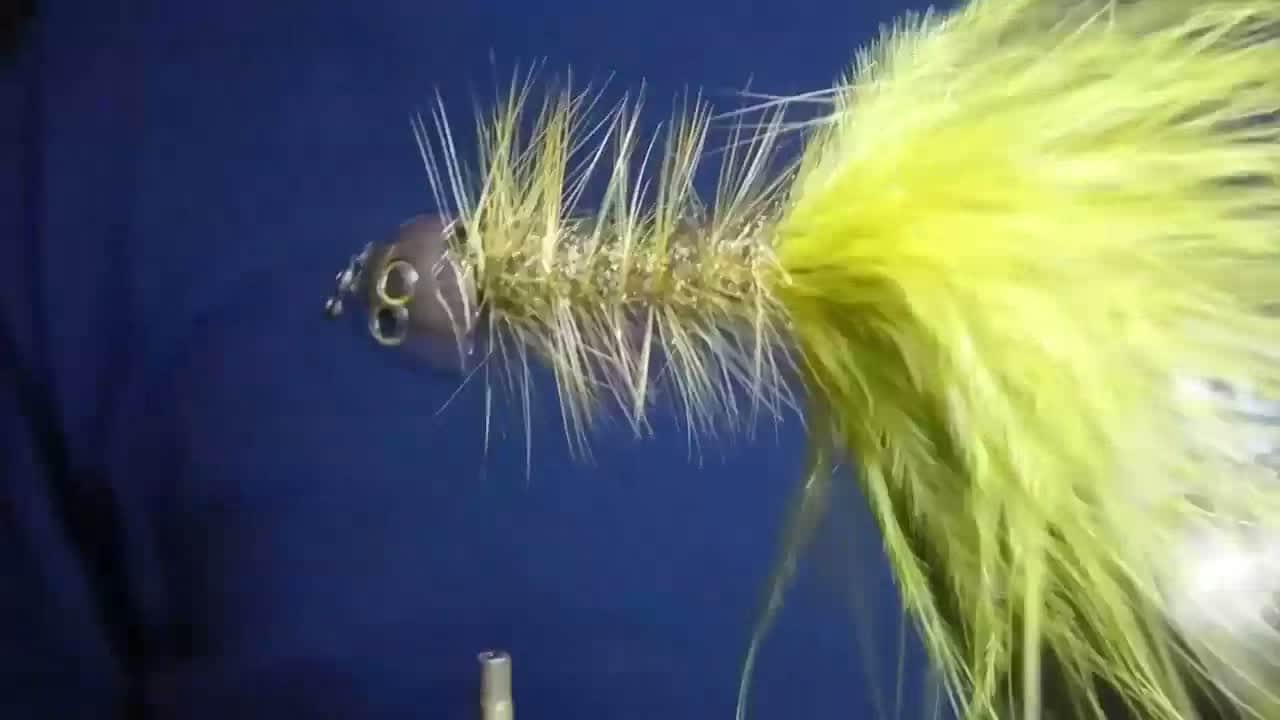
Also try hopper-dropper
Each fly name opens its matching Fly Box guide.
Spring runoff, hot summer afternoons, and long access gaps make the White River more condition-sensitive than its name suggests. Early starts, cooler shoulder seasons, and realistic public-access expectations usually produce the best trout days.
Scout first, fish only soft near-bank structure, and do not assume a bigger river automatically means safe crossings.
Best all-around condition for nymphs, caddis, and streamer edges in the Meeker area.
Fish early, carry a thermometer, and shorten handling or skip trout water if temperatures rise too far.
Often the cleanest blend of fishable flow, lower heat stress, and more forgiving wade windows.
Wading and Floating have the same top score. Use current access, footing, weather, and local rules to choose.
Wading is in play only where your chosen access has clear footing, legal entry, and no forced crossings.
This report does not recommend bank fishing on this reach.
A float is in play where this report supports boat access and wind, releases, and shuttle logistics are manageable.
Is White River worth the trip today? Check flow, weather, hatches, access, and rules for Colorado before you go.
The White River near Meeker is broad enough that flow timing, temperature, and legal access shape the day before fly choice does. It can reward both wade anglers and small craft, but only when you match the plan to current conditions and the public-access pieces you can actually verify.
USGS shows 262 cfs. The flow has been stable over about 6 hours. USGS marks this reading provisional and may revise it. USGS records for this date (1910-2026, 117 readings) show a median near 377 cfs and a low-water marker near 289 cfs; today's flow is unusually low for the date. Low water can make fish spooky, warm, pressured, or concentrated; check temperature and handling risk.
This month is not listed as a top seasonal window in this page's reviewed season notes. Use current regulations, flow, temperature, and access checks before treating the score as a slam dunk.
Wade: Wading is in play only where your chosen access has clear footing, legal entry, and no forced crossings.
The current NWS air forecast is about 53F, and the next 24-hour high reaches about 61F. Rain Showers Likely.
No active NWS alert was returned for this forecast point.
Moderate stable flows that leave enough bank softness to fish cleanly without turning every move into a crossing problem.
Skip during muddy runoff, pushy unsafe banks, or hot summer afternoons when temperature makes trout handling a bad bet.
Check the Meeker gauge, pick one verified public access point, fish the first productive bank water carefully, and use the upper valley only if it materially improves conditions.
If the White is too warm, too high, or too muddy, a smaller upper-valley piece or a different western-slope drainage is the smarter move.
Use these places as starting points. Open the access link below and check posted signs before you park or enter.
Check the current Colorado fishing brochure before fishing and confirm any state-wildlife-area entry rules. Warm-weather trout handling judgment matters here even when the general season is open.
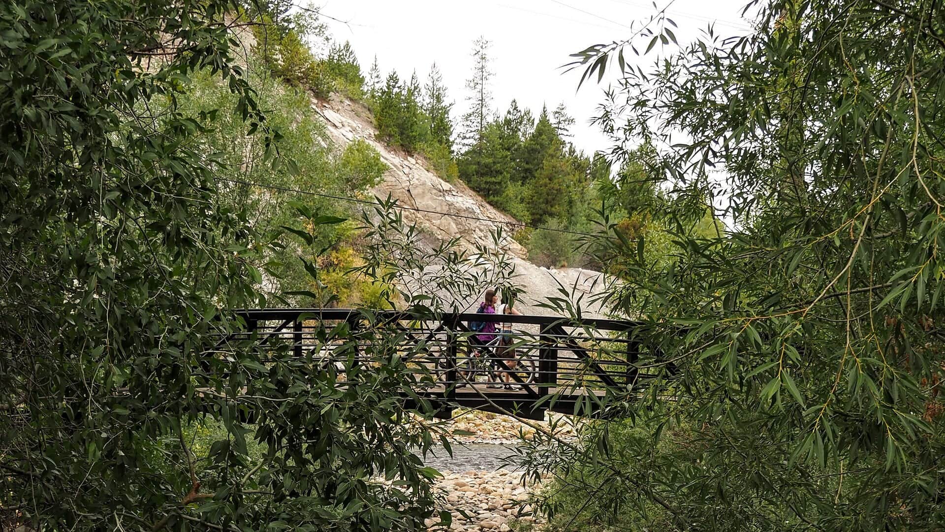
Best CPW public-access anchor for the White River Valley near Meeker.
Useful upper-valley public node when you want colder water context and clearer forest access.
Helpful for checking color, level, and how much usable edge water the river is really giving you.
Official agencies and primary river operators come first. Secondary tools are labeled so you know what carries the most weight.
Check what is allowed, where the rule applies, and whether the river is open.
Check the latest river reading and forecast before you leave.
Check public entry points, land rules, and seasonal access changes.
Check what is allowed, where the rule applies, and whether the river is open.
Open the current rules and check the river section, season, and special limits.
Open the current rules and check the river section, season, and special limits.
Check the latest river reading and forecast before you leave.
Open this page and check the latest safety advice before your trip.
Open this river reading to check the latest level, flow, and update time.
Open this river reading to check the latest level, flow, and update time.
Check public entry points, land rules, and seasonal access changes.
Open the land or access page, then check signs before you park or enter.
Open the land or access page, then check signs before you park or enter.
Open the land or access page, then check signs before you park or enter.
What was checked: This report uses official regulation, flow, weather, access, and public-land sources first, then adds practical planning guidance for fly anglers.
Live measurements and forecasts keep their provider timestamps. Rules, access, and trip guidance use the source-review date shown here. BlueStreamFly planning advice is editorial interpretation, not an agency notice.
First-hand experience: BlueStreamFly does not claim a first-hand visit or local field test for this report unless a real contributor is explicitly named and linked.
It is centered on the trout-relevant White River near Meeker and the upper White River Valley public-access picture.
No. Public access is selective, so use CPW wildlife areas and official forest recreation nodes instead of assuming every roadside bank is legal.
Skip during muddy runoff, unsafe flow, or warm low-water afternoons when trout handling becomes questionable.