WadeNot advised
Wading is the most sensitive plan today. Use protected edges only, avoid crossings, and downgrade quickly if clarity or current feels wrong.
Fly fishing report · West
A lower Gunnison report for the Gunnison Forks, Delta, and Dominguez-Escalante corridor, with flow checks, float planning, access, hatches, and safety notes.
Check flow & weatherCurrent USGS flow is 273 cfs and has been stable for about 6 hours. Today's flow is unusually low for this date and below the usual low-water marker near 455 cfs. Low water can make fish spooky, warm, pressured, or concentrated; check temperature and handling risk.
Compare wading, bank fishing, and floating before choosing how you will fish.
Wading is the most sensitive plan today. Use protected edges only, avoid crossings, and downgrade quickly if clarity or current feels wrong.
Bank and edge fishing is the safer default when water is high, pushy, or not fully verified.
A float can fit better than wading only if launches, shuttle, boat skill, wind, and local rules all check out.
Check before you drive
Look at whether the river is rising or falling, then check wind, rain, and storms. These can change both safety and fishing.
Before you rely on this report
Conditions can change quickly. Check these dates before you decide to fish, and open the official source when safety or rules matter.
High confidence in the current score inputs.
5 sources are listed below for you to open.
3 public access records are listed. Private spots are never shown.
Source checked Jul 30, 2026
Plan your access
These are public parking, launch, trail, or recreation areas—not secret fishing spots. We never show an angler's private pins, notes, or photos here.
Boat launch
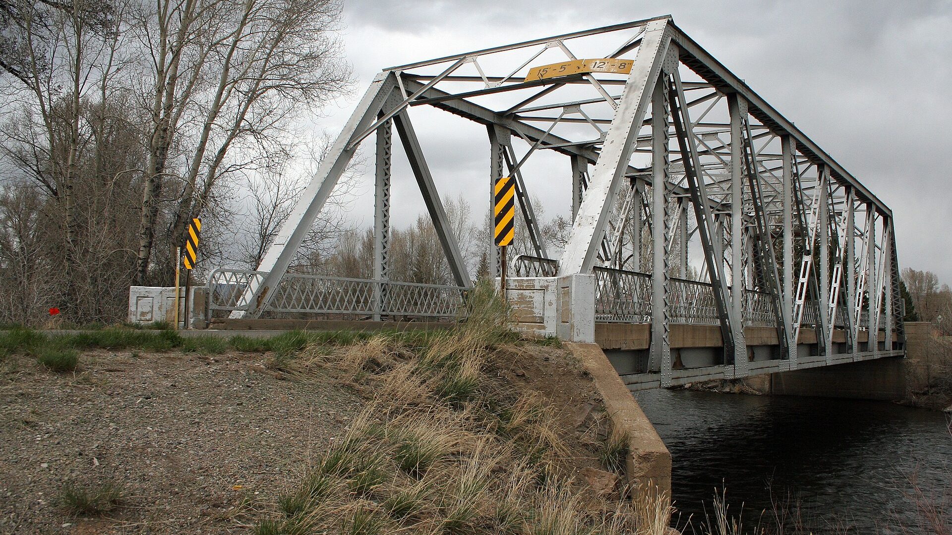
BLM day-use and boat-ramp access near the north end of Gunnison Gorge NCA.
BLM says Gunnison Forks has walk-in river access and a natural-surface boat ramp.
Dominguez-Escalante NCA includes marked campsites along the Gunnison River.
Area description
Useful for lower-river planning and USGS Delta gauge context; verify legal access and private boundaries.
BLM says Gunnison Forks has walk-in river access and a natural-surface boat ramp.
Dominguez-Escalante NCA includes marked campsites along the Gunnison River.
Public land
BLM public-land river corridor with marked campsites and float recreation downstream.
BLM says Gunnison Forks has walk-in river access and a natural-surface boat ramp.
Dominguez-Escalante NCA includes marked campsites along the Gunnison River.
How to fish it
The Lower Gunnison below the canyon opens into a bigger float-and-wade river with BLM access, private edges, and warmer lower-valley conditions. Use the Delta gauge and a real access plan before committing.
USGS shows 273 cfs with a stable over about 6 hours trend. Today's flow is unusually low for this date and below the usual low-water marker near 455 cfs. Low water can make fish spooky, warm, pressured, or concentrated; check temperature and handling risk.
Coldwater targets are a poor choice in this heat window, but warmwater targets may still be reasonable where legal and ethical.
USGS water temperature is about 78F. Do not pressure trout or salmonids in warm water.
Float: A float can fit better than wading only if launches, shuttle, boat skill, wind, and local rules all check out.
Summer: Early starts and temperature checks are important; lower sections may shift away from trout-first fishing.
Read the water
The lower river is most useful when flows are stable, visibility is good, and the weather allows a safe float or focused wade session. Treat this as a larger river with access planning, not a quick roadside tailwater stop.
Use longer leaders, smaller nymphs, and careful wading around softer banks and riffle edges.
Cover banks, shelves, and inside seams with nymphs, dry-droppers, and streamers.
Focus on soft edges only if safe. Consider postponing remote float plans when visibility or exits are poor.
Check water temperature, start early, and avoid trout handling when lower-valley water is warm.
Your trip plan
Use the Delta gauge as the lower-river anchor. Stable or slowly falling clear water is the best general signal; high, muddy, rapidly changing, or hot lower-valley conditions should push the plan toward safer banks, a different reach, or another water.
Skip or scale back when the Delta gauge is rising hard, the river is muddy, heat creates trout-handling risk, wind makes a float unsafe, private-bank logistics are unclear, or you do not have a clean shuttle and takeout plan.
Start with the Delta gauge, then decide between Gunnison Forks, a Dominguez-Escalante float/wade plan, or a shorter public-bank scout before choosing flies.
If the Lower Gunnison is high, muddy, hot, windy, or logistically messy, compare Gunnison Gorge, the Dolores, or the lower Colorado only after checking each route's current flow and access.
Hatches & flies
 Fly pattern · report suggests “Zebra midge”Zebra MidgeLook for a very slim tapered thread body, evenly spaced contrasting wire rib, a small bead, and no tail or wing. The reviewed classic is black with silver wire and a silver bead. Red, olive, brown, glass-bead, jig-hook, resin-coated, or tailed forms must remain labeled variations rather than replacing the classic identity.See photos & how to fish it ↗
 Fly pattern · report suggests “black beauty”Black Beauty MidgeA very slim black thread body, fine silver rib, and small dark thorax define the core Black Beauty. Glass-bead Mercury Black Beauty and flash-wing variants must stay labeled separately.See photos & how to fish it ↗+ 2 more reviewed guides in the Fly Box
  Fly family · report suggests “BWO emerger”Blue-Winged Olive PatternsBWO describes a hatch group, not one fly. Nymph, emerger, dry, cripple, and spinner profiles must stay separate because they occupy different parts of the water column.See family guide ↗
 Fly family · report suggests “caddis pupa”Caddis Pupa PatternsCaddis pupa is a life-stage family. Curved bodies, wing pads, legs, beads, and soft-hackle collars differ among exact patterns and must be labeled.See family guide ↗+ 2 more reviewed guides in the Fly Box
  Fly pattern · report suggests “Elk hair caddis”Elk Hair CaddisLook for a tented elk- or deer-hair wing, clipped hair head, dubbed body, rib, and hackle palmered along the body. The body color should be labeled because tiers often match different natural caddis colors.See photos & how to fish it ↗
 Fly family · report suggests “PMD”Pale Morning Dun PatternsPMD names an insect group, not one fly. Pale nymphs, trailing-shuck emergers, upright or low-riding duns, cripples, and spent-wing spinners stay visibly separate.See family guide ↗+ 3 more reviewed guides in the Fly Box Fly family · report suggests “BWO dry”Blue-Winged Olive PatternsBWO describes a hatch group, not one fly. Nymph, emerger, dry, cripple, and spinner profiles must stay separate because they occupy different parts of the water column.See family guide ↗Fly pattern · report suggests “zebra midge”Zebra MidgeLook for a very slim tapered thread body, evenly spaced contrasting wire rib, a small bead, and no tail or wing. The reviewed classic is black with silver wire and a silver bead. Red, olive, brown, glass-bead, jig-hook, resin-coated, or tailed forms must remain labeled variations rather than replacing the classic identity.See photos & how to fish it ↗+ 3 more reviewed guides in the Fly Box
 Choose a walk-wade or float plan before packing rods.
Use the Delta gauge as the lower-river reference, not the East Portal gauge alone.
Avoid stopping on private banks unless a public access point or easement clearly allows it.
Fish early during hot weather and carry a thermometer.
Bring shuttle, wind, and takeout backup plans for longer floats.
Rules & closures
Open the agency page to confirm the exact river section, species, season, tackle rules, limits, and emergency closures.
Official links checkedWe checked the state source but did not find a clearly supported exception for this river. Check the official rules for the exact section you plan to fish.
This summary helps with trip planning. The linked agency rule is the one you must follow.
Updates from anglers
Recent observations from general areas of Lower Gunnison River. We review every update before it appears and never publish exact fishing spots, private access details, or photo locations.
You can still use the river plan above. Check back later for recent observations from other anglers.
Where this report comes from
Fishing guidance checked: May 31, 2026
Site check: Jul 14, 2026. We regularly test report links, live scores, flow and weather data, and page loading. The content date changes only when the fishing guidance or its sources change.
Common questions
It focuses on the Gunnison Forks, Delta, and Dominguez-Escalante lower-river corridor.
The tunnel gauge is useful for the Gorge, while the Delta gauge better matches this lower-river page.
Some water can remain trout-relevant, but lower and warmer reaches require temperature checks and may shift toward warmwater expectations.
Yes, but use official access, shuttle, weather, and flow checks before committing to a float.