Live flow is not available
No machine-readable live streamflow feed is attached for this reach. Use the linked flow source manually with weather, clarity, access, and recent rain before committing.
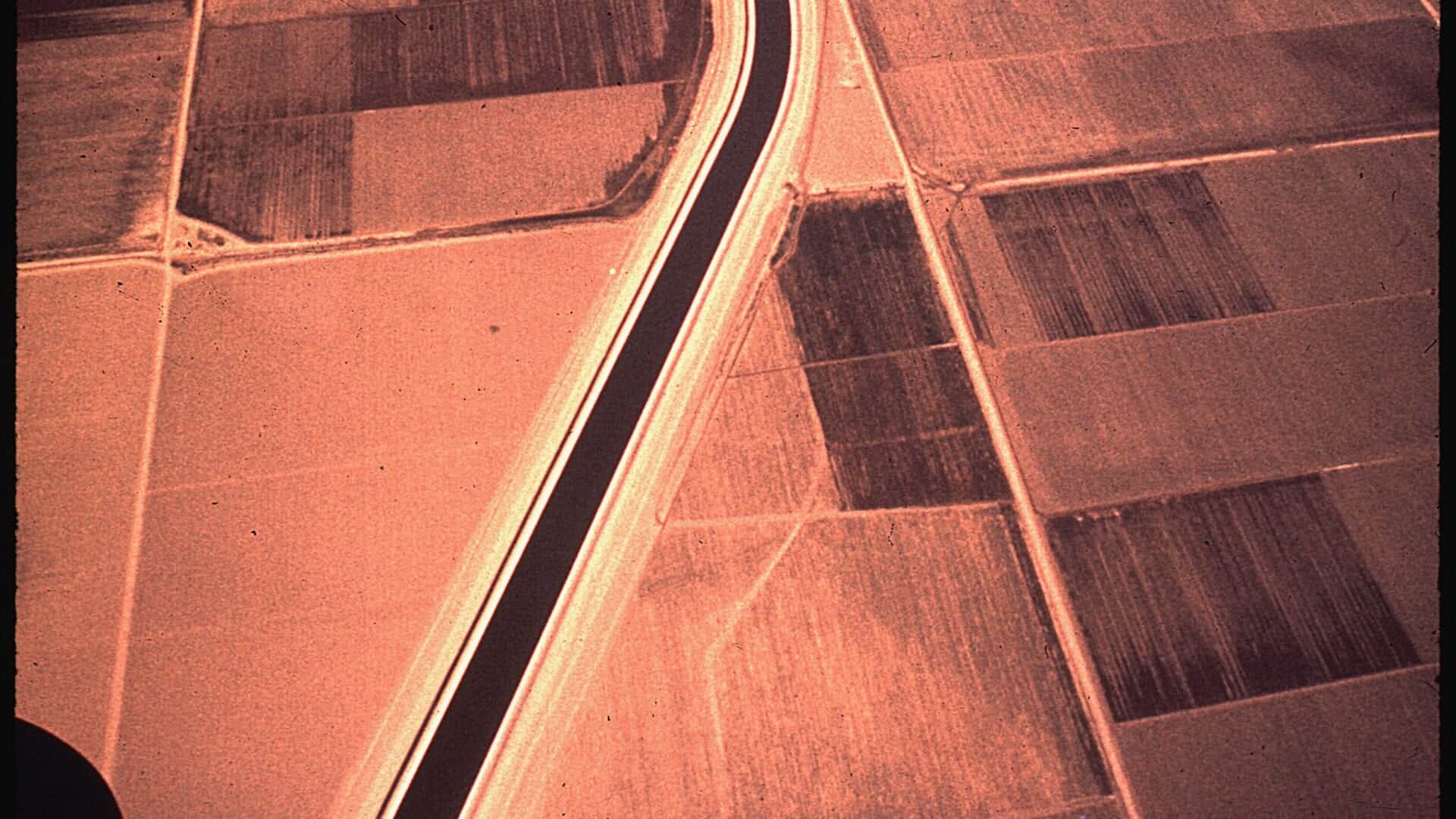
Photo: Gene Daniels Opens in a new tab. · Public domain
We could not confirm a live gauge for this river. Check the weather, recent rain, local reports, and the water before you fish.
Check first: Live information is incomplete. Treat this score as a planning estimate.
Rating updatedRiver local time:
No verified live public gauge is attached, so the page cannot make a strong real-time call.
NWS air forecast near
This is an air forecast, not a river-temperature reading. Check the water with a stream thermometer before fishing in hot weather.
No machine-readable live streamflow feed is attached for this reach. Use the linked flow source manually with weather, clarity, access, and recent rain before committing.
Showers And Thunderstorms
The National Weather Service forecast is temporarily unavailable.
Official flow source: Kings River below Pine Flat Dam
No machine-readable live streamflow feed is attached for this reach. Use the linked flow source manually with weather, clarity, access, and recent rain before committing.
Seasonal starting points, not a live hatch report. Match what you see on the water.
Each fly name opens its matching Fly Box guide.
The most useful Kings River plan starts with reach selection. Below Pine Flat, flow and heat drive the day. Upstream, road access, whitewater season, and Sierra weather become the main filters.
Use cautious approaches, smaller flies, and watch water temperature before targeting trout.
Nymphs, dry-droppers, and small streamers can work in riffles, edges, and tailouts.
Avoid risky wading. The lower river can become pushy and dangerous.
Whitewater and remote access risks can matter more than trout tactics. Check Forest Service and weather sources.
We could not confirm all current conditions. Check locally before choosing how to fish.
Current conditions at the exact access are not verified. No access method is recommended until they are checked.
Current conditions at the exact access are not verified. No access method is recommended until they are checked.
Current conditions at the exact access are not verified. No access method is recommended until they are checked.
Is Kings River worth the trip today? Check flow, weather, hatches, access, and rules for California before you go.
The Kings River can mean lower water below Pine Flat, upper Sierra river access, or backcountry smaller stream planning. This report uses the Pine Flat gauge as the primary public flow context and flags where separate source checks are needed.
No verified live public gauge is attached, so the page cannot make a strong real-time call.
The forecast has storm or heavy-precipitation risk, so timing and access matter more than the score alone.
Fall: Cooler weather and stable flows can improve trout tactics in suitable reaches.
The current NWS air forecast is about 53F, and the next 24-hour high reaches about 56F. Showers And Thunderstorms.
No active NWS alert was returned for this forecast point.
Use the Pine Flat trend for lower-river context rather than chasing one perfect number. Stable or easing releases are the cleanest fit for lower-river trout fishing, while abrupt bumps, heavy summer heat, or canyon runoff should push you toward safer edges, a warmwater pivot, or another river entirely.
Skip Kings when lower-river temperatures make trout handling questionable, when Pine Flat releases would force unsafe crossings, when upper-canyon whitewater or road conditions are the real story, or when you cannot tell which specific rule zone you plan to fish.
Choose the river version first: below Pine Flat if you want the most direct gauge match and easier public planning, or upper canyon and wilderness approaches only after checking Sierra National Forest travel conditions and accepting a slower, more exploratory day. Build flies and driving time around that first decision instead of treating the whole drainage like one beat.
If Kings is too warm, too pushy, or too broad to pin down, pivot to Hot Creek for a technical trout day or to the North Yuba if you want a colder freestone option with a simpler trout-first identity.
Use these places as starting points. Open the access link below and check posted signs before you park or enter.
Verify CDFW's current freshwater rules for the exact Kings River reach before fishing. Lower tailwater, reservoir, upper river, and backcountry water can have different practical and legal considerations.
Primary lower-river flow context and the best match for USGS 11221500.
USACE recreation context for lake and dam-area planning, not a substitute for river rules.
Useful for upper river and whitewater planning. Check Sierra National Forest conditions.
Remote trips need separate backcountry, park, forest, and weather planning.
Official agencies and primary river operators come first. Secondary tools are labeled so you know what carries the most weight.
Check what is allowed, where the rule applies, and whether the river is open.
Check the latest river reading and forecast before you leave.
Check public entry points, land rules, and seasonal access changes.
Use these links for stocking, safety, and other local details.
Check what is allowed, where the rule applies, and whether the river is open.
Open the current rules and check the river section, season, and special limits.
Check the latest river reading and forecast before you leave.
Open this page and check the latest safety advice before your trip.
Open this river reading to check the latest level, flow, and update time.
Check public entry points, land rules, and seasonal access changes.
Open the land or access page, then check signs before you park or enter.
Open the land or access page, then check signs before you park or enter.
Use these links for stocking, safety, and other local details.
Open this page for more river information and check when it was last updated.
Open this page for more river information and check when it was last updated.
What was checked: This report is maintained from current regulation, access, flow, weather, and public planning sources so anglers can make better trip decisions than a raw gauge or generic overview would allow.
Live measurements and forecasts keep their provider timestamps. Rules, access, and trip guidance use the source-review date shown here. BlueStreamFly planning advice is editorial interpretation, not an agency notice.
First-hand experience: BlueStreamFly does not claim a first-hand visit or local field test for this report unless a real contributor is explicitly named and linked.
Not for an automated live score. This page links the best available flow source where one exists, but the fishability answer stays conservative until a current readable gauge is available for the exact reach. Check the linked source, weather, clarity, access, and recent rain before going.
Not for an automated live score. This page links the best available flow source where one exists, but the fishability answer stays conservative until a current readable gauge is available for the exact reach. Check the linked source, weather, clarity, access, and recent rain before going.
Not for an automated live score. This page links the best available flow source where one exists, but the fishability answer stays conservative until a current readable gauge is available for the exact reach. Check the linked source, weather, clarity, access, and recent rain before going.
Bring caddis, mayflies, stonefly nymphs, dry-dropper attractors, terrestrials, zebra midges, and small streamers.