7-day U.S. Geological Survey chart
Recent flow
Discharge
40 cfs2.06 cfs
Oct 16Oct 23
Latest reading: 6.61 cfs. Stable over about 6 hours. Chart covers Oct 16 through Oct 23; readings are provisional and may be revised.
Photo: National Photo Company Collection Opens in a new tab. · Public domain
No single best way to fish. Wading, Bank fishing, and Floating have the same top score. Use current access, footing, weather, and local rules to choose.
Rating updatedRiver local time:
USGS shows 7 cfs. The flow has been stable over about 6 hours. USGS marks this reading provisional and may revise it. USGS records for this date (1941-2026, 82 readings) show a median near 259 cfs and the lower quartile near 9 cfs; today's flow is below normal for the date. This is below normal, so edge depth, temperature, and pressure matter.
NWS air forecast near
This is an air forecast, not a river-temperature reading. Check the water with a stream thermometer before fishing in hot weather.
Discharge
Latest reading: 6.61 cfs. Stable over about 6 hours. Chart covers Oct 16 through Oct 23; readings are provisional and may be revised.
Mostly Clear
The National Weather Service forecast is temporarily unavailable.
Current U.S. Geological Survey gauge: Salt River below Stewart Mountain Dam
Seasonal starting points, not a live hatch report. Match what you see on the water.
Also try worms, crayfish on inside edges
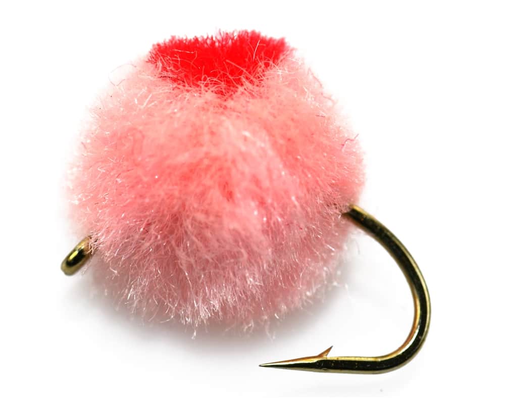
Each fly name opens its matching Fly Box guide.
The best Lower Salt plan starts with the release schedule and your target species. Cooler months can make trout tactics useful when fish are stocked or holding over, while warmer periods often shift the plan toward bass, sunfish, catfish, and careful low-light trout fishing.
Look for connected depth, shade, and soft seams. Low water can make fish spooky and can also expose rough footing.
This is the best all-around window for wading, nymphing, swinging soft hackles, and fishing streamers from safe edges.
Treat the river as a boat or bank plan, not a casual wade. Fish inside bends, eddies, and protected banks only where legal and safe.
Fish early or late, carry water, and do not force trout fishing if water temperature or fish condition makes it a poor choice.
Wading, Bank fishing, and Floating have the same top score. Use current access, footing, weather, and local rules to choose.
Wading is in play only where your chosen access has clear footing, legal entry, and no forced crossings.
Bank and edge fishing remains a practical low-commitment option if access is legal and footing is safe.
A float is in play where this report supports boat access and wind, releases, and shuttle logistics are manageable.
Is Salt River worth the trip today? Check flow, weather, hatches, access, and rules for Arizona before you go.
The Lower Salt River is close to Phoenix and easy to reach, but the fishing plan depends on releases from Stewart Mountain Dam, busy recreation traffic, seasonal access closures, and whether you are targeting stocked trout, bass, or warmwater fish.
USGS shows 7 cfs. The flow has been stable over about 6 hours. USGS marks this reading provisional and may revise it. USGS records for this date (1941-2026, 82 readings) show a median near 259 cfs and the lower quartile near 9 cfs; today's flow is below normal for the date. This is below normal, so edge depth, temperature, and pressure matter.
Fall: Cooling weather can improve comfort and make streamers, nymphs, and bass tactics useful while you wait for current stocking information.
The current NWS air forecast is about 65F, and the next 24-hour high reaches about 77F. Mostly Clear.
No active NWS alert was returned for this forecast point.
Skip trout fishing when heat or water temperature is stressful, releases make wading pushy, seasonal closure language blocks your chosen access, storms or muddy inflow affect the river, or tubing traffic makes controlled presentations unrealistic.
Use the Stewart Mountain Dam gauge and release trend more than a fixed target number. Stable moderate releases are the cleanest all-around fishing window. Sharp release changes, high water, or extreme heat should narrow the plan fast.
Skip trout fishing when heat or water temperature is stressful, releases make wading pushy, seasonal closure language blocks your chosen access, storms or muddy inflow affect the river, or tubing traffic makes controlled presentations unrealistic.
Start with the gauge and closure check, then choose the access style: Water Users for a quick release read, Blue Point or Pebble Beach for classic area access, and Phon D Sutton or Goldfield only after confirming current parking and use conditions.
If the Lower Salt is too hot, high, crowded, or closure-limited, compare Oak Creek, Canyon Creek, or a legal lake/warmwater option after checking each route's current access and rules.
Use these places as starting points. Open the access link below and check posted signs before you park or enter.
Verify the current Arizona rules and posted Tonto National Forest closures before fishing. The 2025 and 2026 Arizona rules list seasonal bald eagle closure areas on the Salt River, including below Stewart Mountain Dam where vehicle or foot entry on the south side may be closed from Dec. 1 through June 30 while floating through is allowed. Lower Salt/Verde is also listed as an aquatic invasive species affected water.
A popular kayak and tubing access on the Lower Salt. It can become very busy during summer months.
A riparian day-use area suited to floating and birding. Fish early before recreation traffic builds.
A popular river access and tubing point. Useful for scouting, but expect pressure.
Lower river access areas with day-use logistics, shade structures in places, and seasonal closure considerations nearby.
The USGS gauge below Stewart Mountain Dam is the primary release reference for this report.
Official agencies and primary river operators come first. Secondary tools are labeled so you know what carries the most weight.
Check what is allowed, where the rule applies, and whether the river is open.
Check the latest river reading and forecast before you leave.
Check public entry points, land rules, and seasonal access changes.
Use these links for stocking, safety, and other local details.
Check what is allowed, where the rule applies, and whether the river is open.
Open the current rules and check the river section, season, and special limits.
Open the current rules and check the river section, season, and special limits.
Check the latest river reading and forecast before you leave.
Open this page and check the latest safety advice before your trip.
Open this river reading to check the latest level, flow, and update time.
Open this river reading to check the latest level, flow, and update time.
Check public entry points, land rules, and seasonal access changes.
Open the land or access page, then check signs before you park or enter.
Open the land or access page, then check signs before you park or enter.
Open the land or access page, then check signs before you park or enter.
Use these links for stocking, safety, and other local details.
Open this page and check the latest safety advice before your trip.
Open this page for more river information and check when it was last updated.
Open this page and check the latest safety advice before your trip.
Open this page for more river information and check when it was last updated.
What was checked: This report is maintained from official flow, weather, Arizona regulation, Forest Service access and closure, and invasive-species sources, then converted into conservative desert-river fishability guidance.
Live measurements and forecasts keep their provider timestamps. Rules, access, and trip guidance use the source-review date shown here. BlueStreamFly planning advice is editorial interpretation, not an agency notice.
First-hand experience: BlueStreamFly does not claim a first-hand visit or local field test for this report unless a real contributor is explicitly named and linked.
Yes, but it is a mixed-species desert river. It can be good for trout during cool stocked windows and for bass or warmwater fish when water and weather shift.
Use USGS 09502000, Salt River below Stewart Mountain Dam. The RiverReports page was checked, but the live flow display was unavailable during this build.
Sometimes, but wading depends on dam releases. Check the gauge, stay conservative, and avoid crossings when the release is high or rising.
Bring zebra midges, pheasant tails, eggs, worms, soft hackles, woolly buggers, crayfish, small baitfish, and a few bass poppers.