RiverReports preview · current series loading
Recent flow
RiverReports gauge
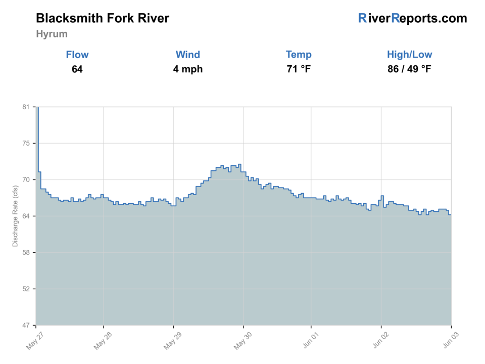
Showing the available RiverReports chart while the current structured flow series loads. Check the chart on RiverReports Opens in a new tab.
Best option: Wading. Wading is in play only where your chosen access has clear footing, legal entry, and no forced crossings.
Rating updatedRiver local time:
USGS shows 52 cfs. The flow has been stable over about 6 hours. USGS marks this reading provisional and may revise it. USGS records for this date (1915-2026, 108 readings) show a median near 83 cfs and a low-water marker near 52 cfs; today's flow is unusually low for the date. Low water can make fish spooky, warm, pressured, or concentrated; check temperature and handling risk.
NWS air forecast near
This is an air forecast, not a river-temperature reading. Check the water with a stream thermometer before fishing in hot weather.
RiverReports gauge
Showing the available RiverReports chart while the current structured flow series loads. Check the chart on RiverReports Opens in a new tab.
Partly Cloudy
The National Weather Service forecast is temporarily unavailable.
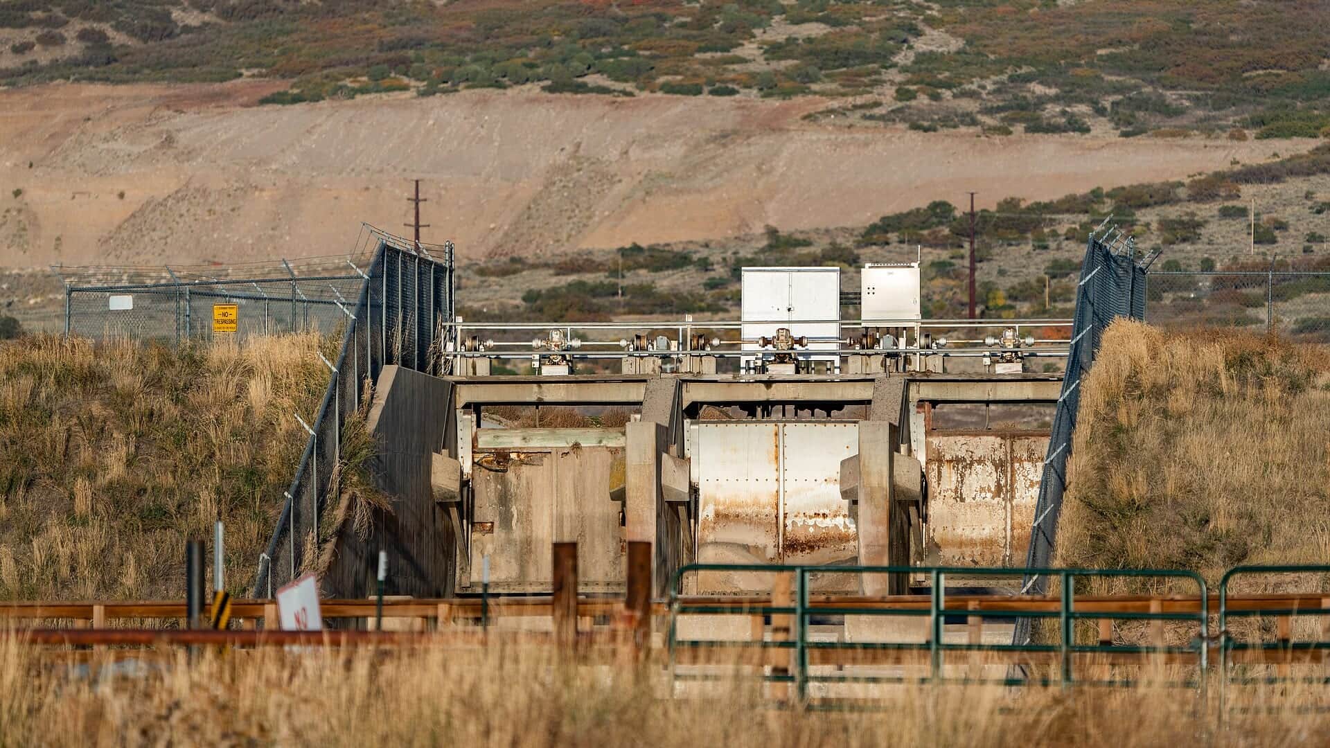
RiverReports gauge: Blacksmith Fork above Utah Power and Light diversion dam
Seasonal starting points, not a live hatch report. Match what you see on the water.
Each fly name opens its matching Fly Box guide.
The strongest Blacksmith Fork days come after runoff has settled into a clear cold summer or fall shape, when the canyon has enough push to define seams without turning every crossing or bank slot pushy. If the river is rising, carrying color, or running so low that fish stack into obvious small pockets, shorten the day or move to a larger Utah option.
Best for short wading sessions, dry-dropper rigs, and methodical pocket-water coverage through the canyon bends.
Often the best seasonal window once the river falls into shape and the wading picture becomes readable again.
Fish smaller water carefully, lengthen leaders, and leave if the river looks warm, crowded, or too compressed to support a good trout day.
A skip signal because the canyon gets smaller fast when current pushes against cut banks and slick rock edges.
These scores compare the risks of wading, bank fishing, and floating.
Wading is in play only where your chosen access has clear footing, legal entry, and no forced crossings.
This report does not recommend bank fishing on this reach.
This report does not recommend floating this reach.
Is Blacksmith Fork River worth the trip today? Check flow, weather, hatches, access, and rules for Utah before you go.
Blacksmith Fork is most useful to anglers when RiverReports and USGS 10113500 show a stable, readable canyon flow and you are prepared to keep the day inside clearly public water and right-of-way entries. This is not a river for loose private-land assumptions. It is a Blue Ribbon-style trout plan that rewards short, careful wading, close attention to Utah's special rules, and a willingness to walk away when runoff, color, or crowding make the canyon feel small.
USGS shows 52 cfs. The flow has been stable over about 6 hours. USGS marks this reading provisional and may revise it. USGS records for this date (1915-2026, 108 readings) show a median near 83 cfs and a low-water marker near 52 cfs; today's flow is unusually low for the date. Low water can make fish spooky, warm, pressured, or concentrated; check temperature and handling risk.
Wade: Wading is in play only where your chosen access has clear footing, legal entry, and no forced crossings.
Fall: Often the cleanest blend of stable flow, lighter traffic, and crisp dry-dropper conditions in the canyon.
The current NWS air forecast is about 47F, and the next 24-hour high reaches about 62F. Partly Cloudy.
No active NWS alert was returned for this forecast point.
Best once runoff drops into a clear, stable coldwater shape where pocket seams hold fish and crossings still feel controlled.
Skip it during the seasonal closure, on any muddy runoff pulse, when late-season heat leaves the river thin, or when legal access feels uncertain.
Base out of Hyrum or Logan, check 10113500 first, choose one section around the Hardware WMA or a clearly legal canyon entry, and fish it thoroughly instead of leapfrogging all day.
Shift to the Weber River if you want a broader completed Utah option, or keep Logan River in mind once that page is built out for the site.
Use these places as starting points. Open the access link below and check posted signs before you park or enter.
Utah's 2026 guidebook applies special rules from the first SR-101 bridge at the canyon mouth upstream to the headwaters: closed April 15 through 6 a.m. on the second Saturday of July. Catch-and-release only with artificial flies and lures during the early and late open windows. Only one trout may exceed 15 inches. And an additional four brown trout may be kept within an eight-trout total.
The legal upstream boundary named in Utah's special fishing rules and a practical orientation point for this page.
The strongest public recreation anchor in the drainage, with multiple trout-water miles and clear Utah DWR ownership context.
Useful only when they connect to clearly legal water access and do not require stepping onto closed private ground.
Supplemental scouting options when seasonal road status and public-land boundaries are confirmed first.
Official agencies and primary river operators come first. Secondary tools are labeled so you know what carries the most weight.
Check what is allowed, where the rule applies, and whether the river is open.
Check the latest river reading and forecast before you leave.
Check public entry points, land rules, and seasonal access changes.
Check what is allowed, where the rule applies, and whether the river is open.
Open the current rules and check the river section, season, and special limits.
Check the latest river reading and forecast before you leave.
Open this page and check the latest safety advice before your trip.
Open this river reading to check the latest level, flow, and update time.
Open this river reading to check the latest level, flow, and update time.
Check public entry points, land rules, and seasonal access changes.
Open the land or access page, then check signs before you park or enter.
Open the land or access page, then check signs before you park or enter.
Open the land or access page, then check signs before you park or enter.
What was checked: This report starts with official regulation, access, flow, weather, and public-water sources, then adds practical planning guidance for fly anglers.
Live measurements and forecasts keep their provider timestamps. Rules, access, and trip guidance use the source-review date shown here. BlueStreamFly planning advice is editorial interpretation, not an agency notice.
First-hand experience: BlueStreamFly does not claim a first-hand visit or local field test for this report unless a real contributor is explicitly named and linked.
Utah closes the special fishing rule canyon water from April 15 until 6 a.m. on the second Saturday of July, so always confirm the current guidebook before the trip.
Use RiverReports for the quick read, but keep USGS 10113500 open as the official backstop for Blacksmith Fork above the diversion dam near Hyrum.
No. This page is built as a wade-only canyon trout plan with short public or clearly legal entries.
Assuming that roadside proximity means you can step onto any bank or streambed. Utah's stream-access rules still control where you can legally walk and fish.