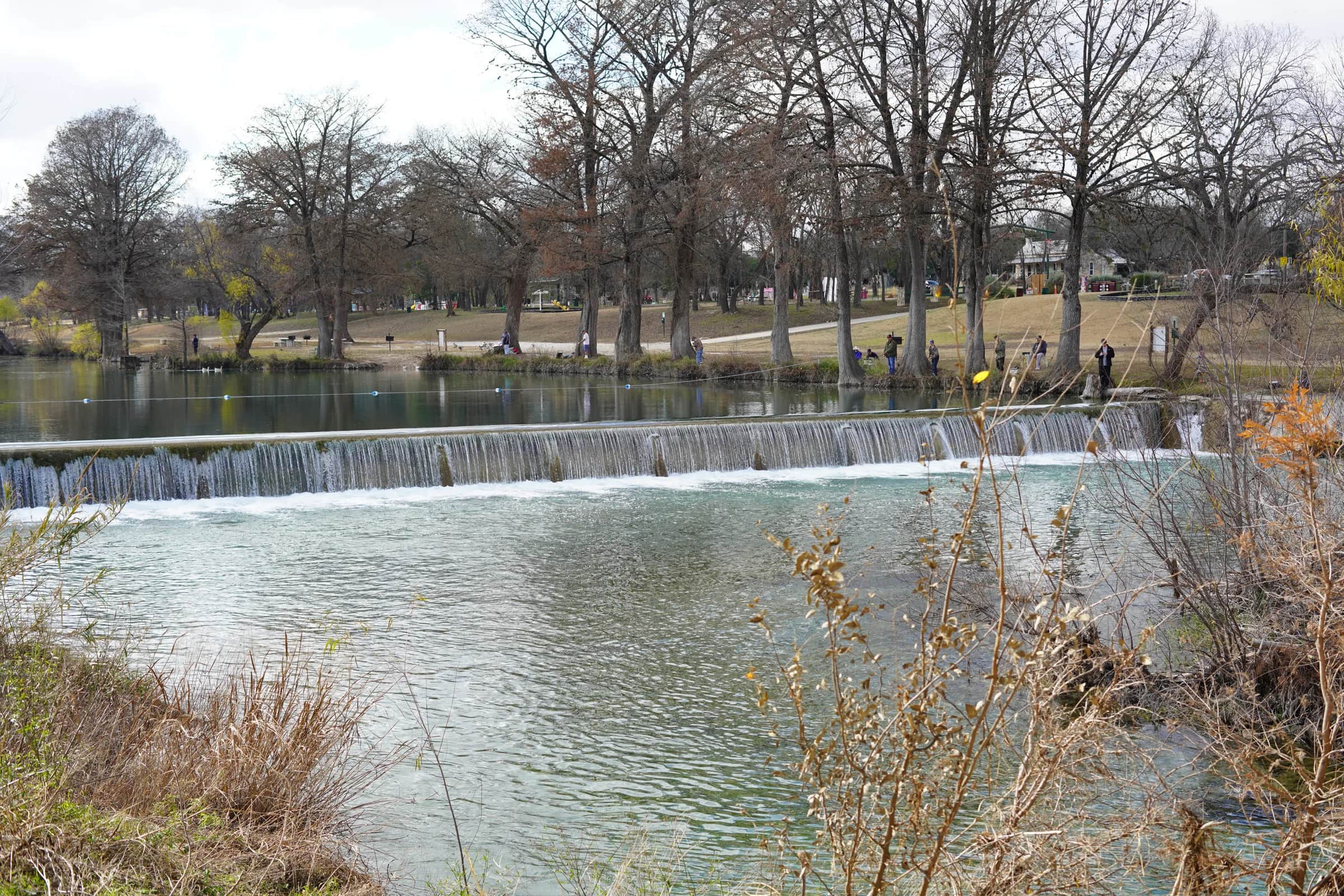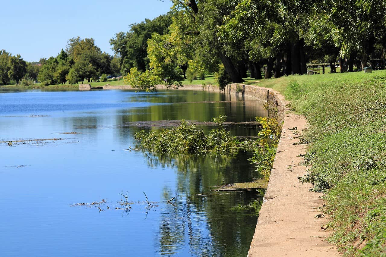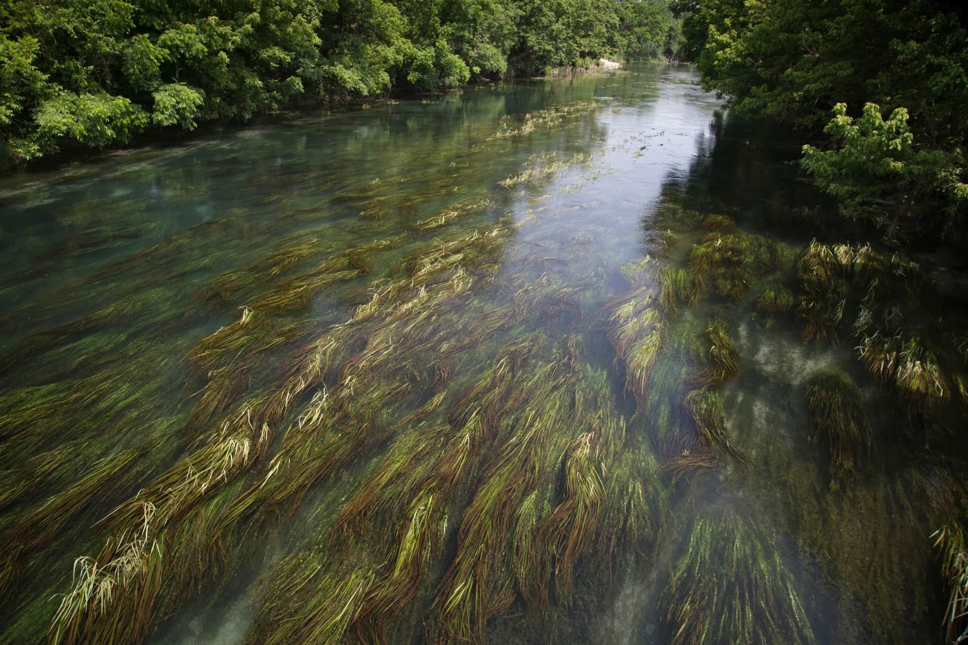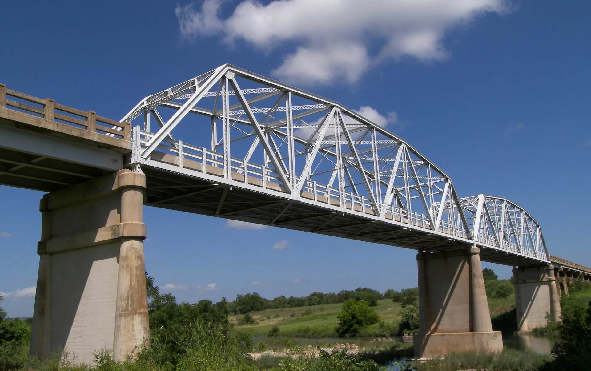
Wading is the most sensitive plan today. Use protected edges only, avoid crossings, and downgrade quickly if clarity or current feels wrong.
Fly fishing report · Southwest
Llano River
Is Llano River worth the trip today? Check flow, weather, hatches, access, and rules for Texas before you go.
See the flow chart ↓Generated artwork: BlueStreamFly · Regional illustration; not the exact location.
Not today. Make another plan.
Best option: Float. A float can fit better than wading only if launches, shuttle, boat skill, wind, and local rules all check out.
See update time and confidence
These scores compare the risks of wading, bank fishing, and floating.
This report does not recommend bank fishing on this reach.
A float can fit better than wading only if launches, shuttle, boat skill, wind, and local rules all check out.
Your plan
Today's Llano River plan.
The Llano River near Mason is strongest when RiverReports and USGS 08150700 show a stable trend, the water is clear enough for sight-feeding bass, and your day is built around Maso-Llan Road, Castell Crossing, or another confirmed public entry. Use this page for the Mason-to-Castell area first, keep the float distances honest, and skip the day when flash-rise risk, wide shallow water, or access uncertainty turns the river into more driving than fishing.
- Check first
- TPWD's Llano access pages for Maso-Llan Road and Castell Crossing both say largemouth and Guadalupe bass are the core targets, with channel catfish and sunfish as realistic supporting species.
- Try
- Start with the first good riffle-and-pool sequence near a named access instead of burning the morning on a long shuttle.
- Leave when
- Skip it after storm spikes, in very wide skinny low water, when the access you planned is not confirmed, or when summer heat makes handling fish careless.
Live river check
What the river is doing
Check the latest flow and weather before you go. A quick change can make the river harder or less safe to fish.
- Flow
- 244 cfs
- From the latest stored river check. Open the official source for the newest reading.
- Air now
- 91°F
Current NWS forecast period
- Next 24h high
- 105.0°F
NWS air forecast near
- Rain chance
- 1%
For this forecast period
This is an air forecast, not a river-temperature reading. Check the water with a stream thermometer before fishing in hot weather.
Clear
Clear
- Wind
- 5 mph
- Weather checked
Recent flow chart is loading
The latest stored reading is shown above. Check the official source below if you need the newest value now.
More forecast and source details
Llano River near Mason, Texas
The National Weather Service forecast is temporarily unavailable.
Where these readings come from
RiverReports gauge: Llano River at Mason
How to fish it
How to fish Llano River today.
The best Llano days come on clear stable water with enough push to connect riffles and pools without turning every granite shelf into a long shallow carry. If thunderstorms are on the table, the gauge is jumping, or the river is spread thin across the bedrock, shorten the day or move to another Central Texas plan.
Clear stable flow
The best Llano window for Guadalupe bass in riffles, defined seams, and short accurate streamer or topwater presentations.
Slight rise with color still fishable
Often better than scraping low water because more lanes connect, but only if the river still reads clean enough for sight-feeding bass.
Very low broad flow
Shorten expectations, look for shade and deeper slots, and accept that some famous-looking runs may just be too thin to deserve the effort.
High or stormy water
A skip signal for wading and often a poor float call because the Llano's broad bed and rock structure get pushy in a hurry.
Fishing words used on this page
- U.S. Geological Survey (USGS) gauge
- A USGS gauge is an official river station that measures flow or water height.
- Cubic feet per second (cfs)
- Cubic feet per second, or cfs, shows how much water passes the gauge each second.
- Presentation
- Presentation means how you cast and move the fly so it looks natural to a fish.
- Riffle
- A riffle is shallow, fast water broken by rocks.
- Seam
- A seam is the line where fast and slow water meet.
- Streamer
- A streamer is a fly that looks like a small fish, leech, or other swimming food.
- Terrestrial
- Terrestrials are land insects, such as ants, beetles, and grasshoppers.
Why this call
Why this score
Float: A float can fit better than wading only if launches, shuttle, boat skill, wind, and local rules all check out.
USGS shows 244 cfs. The flow has been stable over about 6 hours. USGS marks this reading provisional and may revise it. USGS records for this date (1968-2025, 53 readings) show a median near 105 cfs and the upper quartile near 185 cfs; today's flow is high for the date. Fishable water may exist, but do not rate it highly without a safe access, clarity, and wading or boat plan.
This month is not listed as a top seasonal window in this page's reviewed season notes. Use current regulations, flow, temperature, and access checks before treating the score as a slam dunk.
The current NWS air forecast is about 91F, and the next 24-hour high reaches about 105F. This is an air forecast, not a water-temperature reading. This gauge has no live water temperature. Check the river with a stream thermometer before fishing.
A heat alert is active near this forecast point, so the score is capped at caution until water temperature and fish-handling risk are checked. NWS alert: Heat Advisory issued August 22 at 8:10PM CDT until August 23 at 7:00PM CDT by NWS San Angelo TX.
Trip notes
Trip notes
Check these before you choose a reach.
Best when the Mason gauge is stable and the river has enough push to connect riffles without turning broad granite shelves into a scraping walk.
Skip it after storm spikes, in very wide skinny low water, when the access you planned is not confirmed, or when summer heat makes handling fish careless.
Base from Mason or Castell, check 08150700 first, start at Maso-Llan or Castell Crossing, and keep one downstream backup in mind rather than overcommitting to a long shuttle.
Guadalupe River is the better trout-oriented backup, while Colorado River below Austin is the better move when you want a bigger warmwater float and less dependence on skinny riffles.
What to try
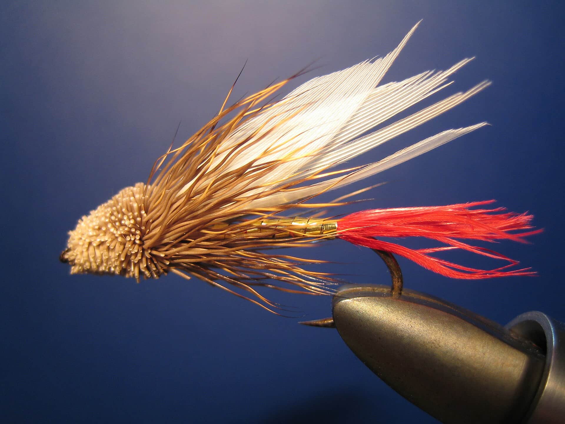
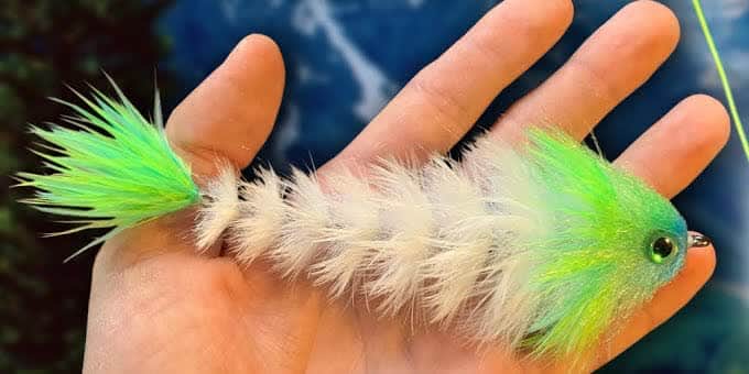
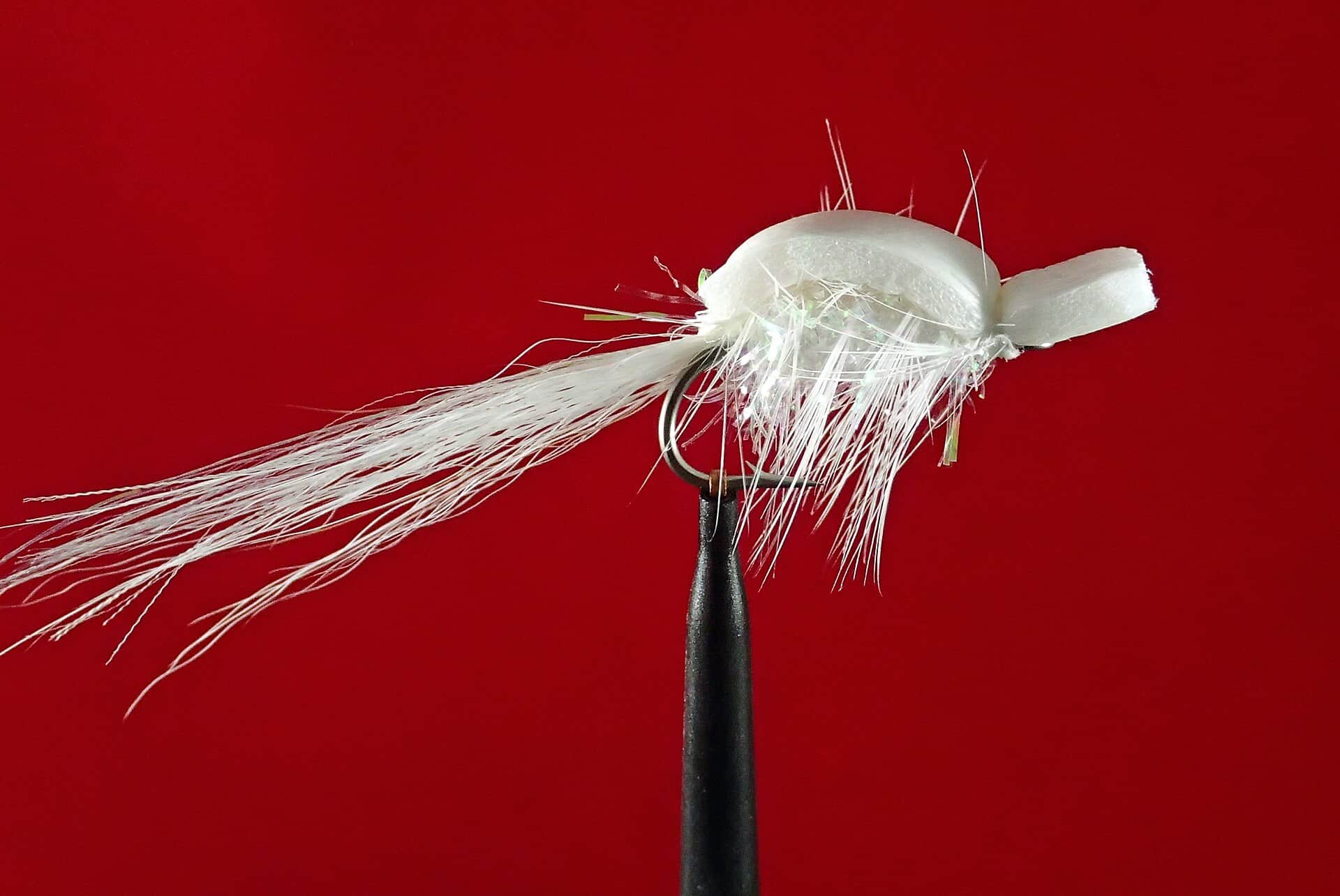
Llano River flies through the year.
Match the time of year, then let rising fish and current speed guide the next change.
Also try lightly weighted craw or bugger
Each fly name opens its matching Fly Box guide.
Access and safety
Llano River access and rules.
Use these places as starting points. Open the access link below and check posted signs before you park or enter. Check TPWD freshwater bag and length limits plus current river-access guidance before fishing because this page relies on statewide warmwater rules and named public-access terms.
Maso-Llan Road leased access
TPWD-listed Mason County access with about 350 feet of frontage, bank-fishing room, and a canoe or kayak launch for committed anglers who are ready for the steep carry.
Castell Crossing leased access
TPWD-listed FM 2768 access near Castell with about 950 feet of frontage and a cleaner launch-or-bank option for the downstream half of this report.
Kingsland Slab leased access
A downstream Llano County backup when you want a broader lower-river option and the Mason area is too low or too far for the day you have.
Use named TPWD leased-access sites, recognized crossings, and public-water rules you have actually checked. Do not assume private ranch banks are open.
Maso-Llan requires advance contact for parking and includes a long steep walk to the river, so it is not the right access for overloaded shuttle plans.
Both Maso-Llan and Castell are sunrise-to-sunset day-use entries with no overnight camping on site.
River sources
Official Llano River sources.
Official agencies and primary river operators come first. Secondary tools are labeled so you know what carries the most weight.
How this report was checked
What was checked: This report starts with official regulation, access, flow, weather, and public-water sources, then adds practical planning guidance for fly anglers.
Live measurements and forecasts keep their provider timestamps. Rules, access, and trip guidance use the source-review date shown here. BlueStreamFly planning advice is editorial interpretation, not an agency notice.
First-hand experience: BlueStreamFly does not claim a first-hand visit or local field test for this report unless a real contributor is explicitly named and linked.
Rules and closures
Check what is allowed, where the rule applies, and whether the river is open.
Flow and weather
Check the latest river reading and forecast before you leave.
Access and land
Check public entry points, land rules, and seasonal access changes.
More helpful links
Use these links for stocking, safety, and other local details.
See all 10 checked sources
Rules and closures
Check what is allowed, where the rule applies, and whether the river is open.
What this source covers
Open the current rules and check the river section, season, and special limits.
Flow and weather
Check the latest river reading and forecast before you leave.
What this source covers
Open this page and check the latest safety advice before your trip.
What this source covers
Open this river reading to check the latest level, flow, and update time.
What this source covers
Open this river reading to check the latest level, flow, and update time.
Access and land
Check public entry points, land rules, and seasonal access changes.
What this source covers
Open the land or access page, then check signs before you park or enter.
What this source covers
Open the land or access page, then check signs before you park or enter.
What this source covers
Open the land or access page, then check signs before you park or enter.
More helpful links
Use these links for stocking, safety, and other local details.
What this source covers
Open this page for more river information and check when it was last updated.
What this source covers
Open this page for more river information and check when it was last updated.
What this source covers
Open this page for more river information and check when it was last updated.
Quick answers
Quick Llano River answers.
What flow should I trust for the Llano River near Mason?
Use the RiverReports chart for a quick read and keep USGS 08150700 near Mason open as the official backstop before you commit to a wade or float.
Where should I start if I do not know the Llano?
Start with Maso-Llan Road or Castell Crossing because TPWD lists both as public leased-access entries with clear rules, frontage, and launch context.
When should I skip the Llano River?
Skip it when storms are pushing the gauge, the water loses the clear sight-fishing look bass need, or the river is so broad and shallow that every run turns into a long walk between slots.