RiverReports chart
Recent flow
RiverReports gauge
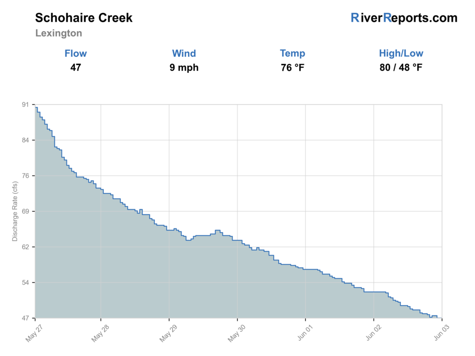
BlueStreamFly cannot read the latest value from this image. Check the chart on RiverReports Opens in a new tab.
Best option: Wading. Wading is in play only where your chosen access has clear footing, legal entry, and no forced crossings.
Check first: Discharge is unavailable. Gauge height alone cannot support a confident fishing decision here.
Rating updatedRiver local time:
USGS returned gauge height, but no usable discharge. Gauge height alone has no reviewed fishing thresholds here; it cannot confirm fishable flow.
NWS air forecast near
This is an air forecast, not a river-temperature reading. Check the water with a stream thermometer before fishing in hot weather.
RiverReports gauge
BlueStreamFly cannot read the latest value from this image. Check the chart on RiverReports Opens in a new tab.
Sunny
The National Weather Service forecast is temporarily unavailable.
RiverReports gauge: Schoharie Creek near Lexington
Seasonal starting points, not a live hatch report. Match what you see on the water.
Also try Gray Fox, coffin fly spinner
Also try Trico spinner, isonychia
Also try isonychia dry, October caddis
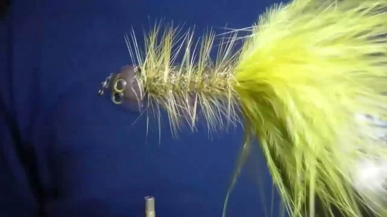
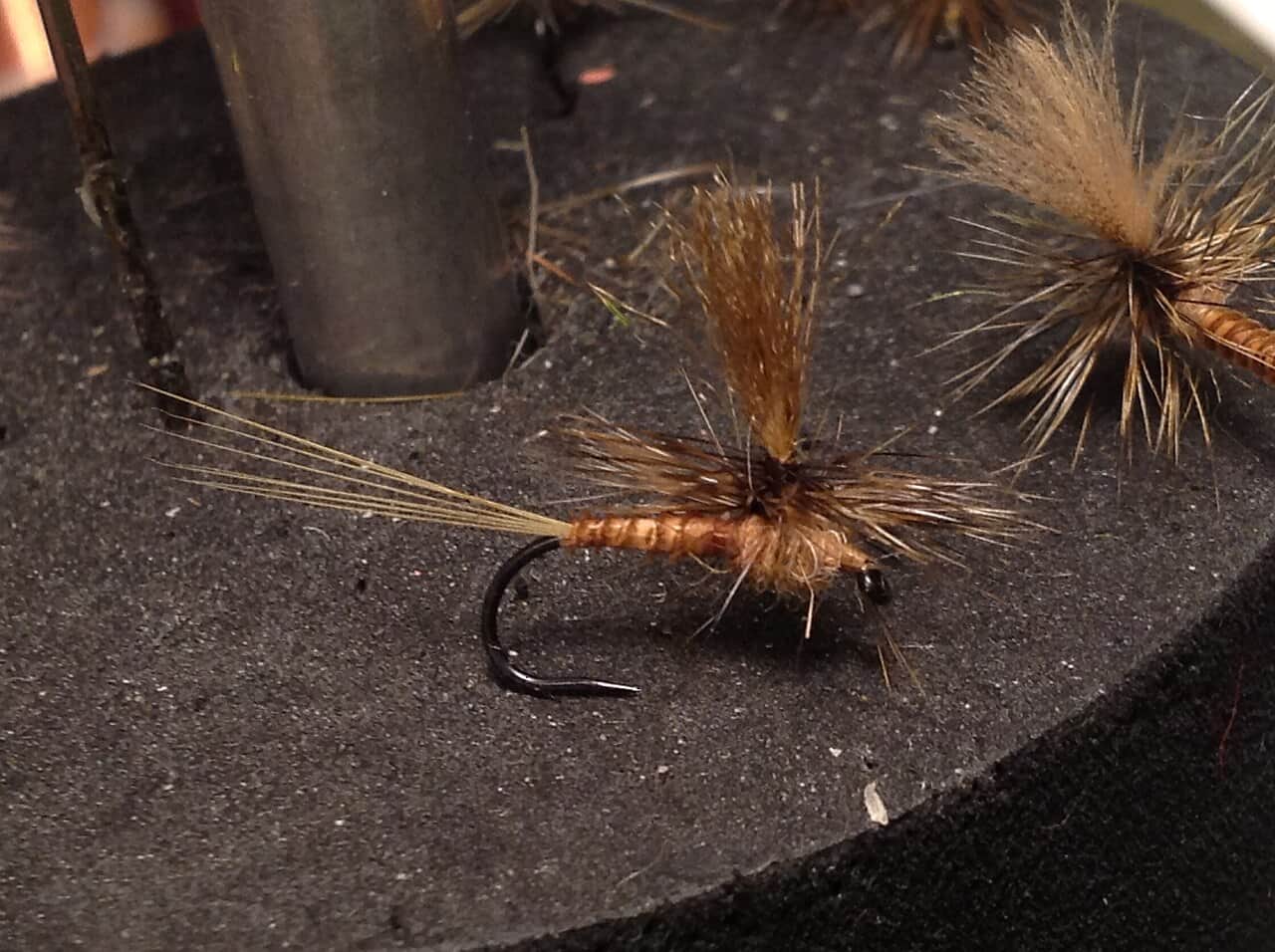
Each fly name opens its matching Fly Box guide.
The best Schoharie plan is simple: stable flow, cool water, and public access. If the creek is high or stained, fish edges only where safe or switch to smaller stream water.
Use stealth, smaller dries, and light nymphs in shaded pockets.
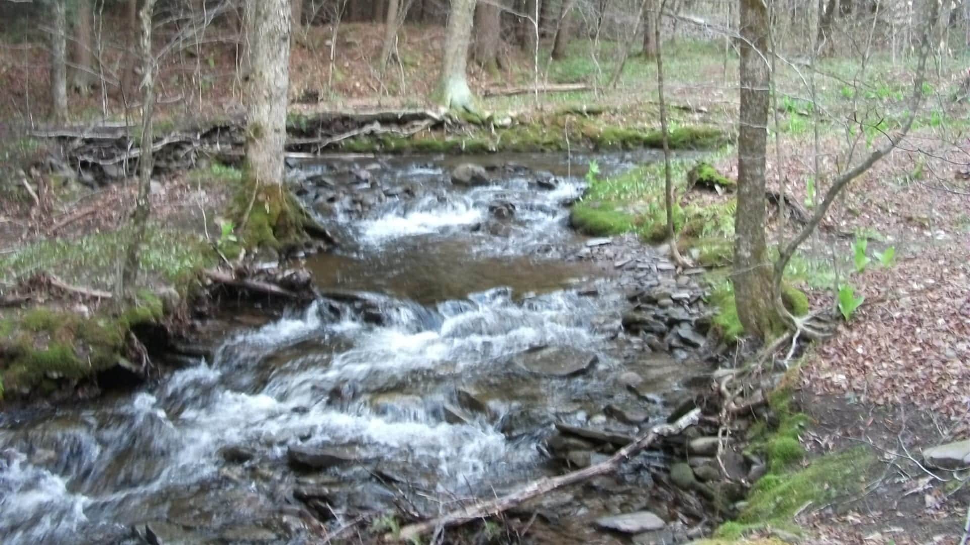
Dry-dropper rigs and nymphs cover riffles, pocket water, and seams.
Do not chase mid-channel water. Use edges or wait.
Check temperature and protect trout during hot afternoons.
These scores compare the risks of wading, bank fishing, and floating.
Wading is in play only where your chosen access has clear footing, legal entry, and no forced crossings.
This report does not recommend bank fishing on this reach.
This report does not recommend floating this reach.
Is Schoharie Creek worth the trip today? Check flow, weather, hatches, access, and rules for New York before you go.
Schoharie Creek can fish well when flows are stable and cool, but mountain rain can change clarity and wading safety quickly. Start with the Lexington gauge.
USGS returned gauge height, but no usable discharge. Gauge height alone has no reviewed fishing thresholds here; it cannot confirm fishable flow.
Wade: Wading is in play only where your chosen access has clear footing, legal entry, and no forced crossings.
Fall: BWOs, October caddis, and small streamers return as water cools.
The current NWS air forecast is about 38F, and the next 24-hour high reaches about 60F. Sunny.
No active NWS alert was returned for this forecast point.
Use RiverReports and USGS 01349705 near Lexington together. Stable cool water is best. Rising storm flow, poor visibility, or warm low water should move the plan to safer edges or a different creek.
Skip or pivot when thunderstorms are building, the creek is rising or turbid, wading is pushy, public access is uncertain, water is too warm for trout handling, or current trout rules are not confirmed.
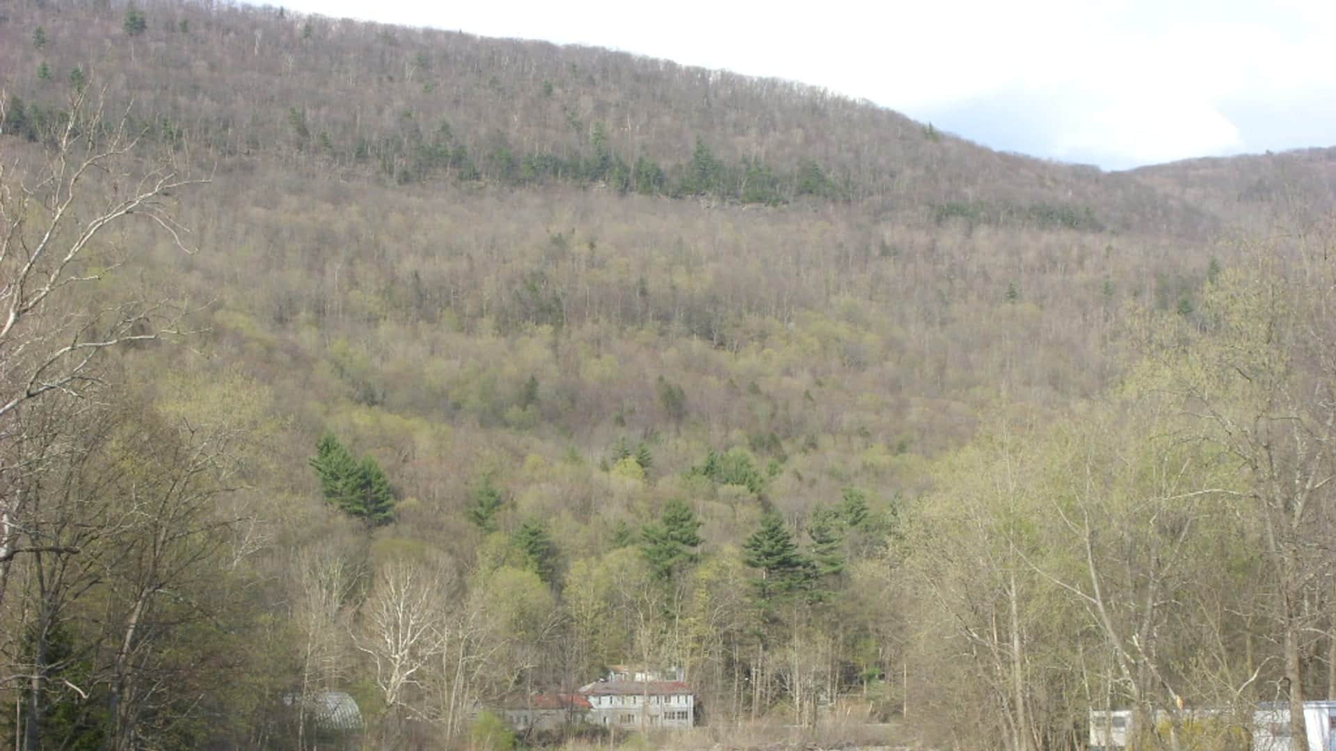
Start with the Lexington gauge, weather over the Catskills, and a Rusk Mountain or public-rights access plan. Fish pocket seams, shaded riffles, and softer banks instead of trying to run too many pull-offs.
If Schoharie Creek is high, dirty, warm, crowded, or access-limited, compare Esopus Creek for another mountain creek, the Neversink for tailwater and gorge choices, or Willowemoc Creek for classic Catskill trout water.
Use these places as starting points. Open the access link below and check posted signs before you park or enter.
NYSDEC inland trout stream rules and reach categories apply. Confirm the exact Schoharie reach and any smaller stream-specific rules before fishing.
Primary flow reference and upper creek planning area.
Use DEC maps and signs to stay on legal public access.
Useful when main-stem flows or temperatures are poor.
Official agencies and primary river operators come first. Secondary tools are labeled so you know what carries the most weight.
Check what is allowed, where the rule applies, and whether the river is open.
Check the latest river reading and forecast before you leave.
Check public entry points, land rules, and seasonal access changes.
Use these links for stocking, safety, and other local details.
Check what is allowed, where the rule applies, and whether the river is open.
Open the current rules and check the river section, season, and special limits.
Check the latest river reading and forecast before you leave.
Open this page and check the latest safety advice before your trip.
Open this river reading to check the latest level, flow, and update time.
Open this river reading to check the latest level, flow, and update time.
Check public entry points, land rules, and seasonal access changes.
Open the land or access page, then check signs before you park or enter.
Open the land or access page, then check signs before you park or enter.
Open the land or access page, then check signs before you park or enter.
Use these links for stocking, safety, and other local details.
Open this page for more river information and check when it was last updated.
What was checked: This Schoharie Creek report is maintained from RiverReports and USGS Lexington flow data, New York inland trout regulations, Rusk Mountain Wild Forest information, public fishing rights and trout-stream map guidance, Catskill Streams management context, weather, media-credit, and mountain-creek planning sources.
Live measurements and forecasts keep their provider timestamps. Rules, access, and trip guidance use the source-review date shown here. BlueStreamFly planning advice is editorial interpretation, not an agency notice.
First-hand experience: BlueStreamFly does not claim a first-hand visit or local field test for this report unless a real contributor is explicitly named and linked.
Check Lexington flow, recent rain, water temperature, DEC inland trout rules, and PFR access.
Yes. Inland trout stream categories and PFR boundaries vary by reach.
Often at moderate flows, but mountain rain can make the creek unsafe quickly.
Bring the seasonal hatch box, a nymph box, a few streamers, and a backup plan for clear, high, warm, or crowded water.