WadeNot advised
Wading is the most sensitive plan today. Use protected edges only, avoid crossings, and downgrade quickly if clarity or current feels wrong.
Fly fishing report · Northeast
A Catskill Neversink report for Bridgeville flows, upper and lower river access, wild trout, hatches, tactics, safety, and regulations.
Check flow & weatherCurrent USGS flow is 193 cfs and has been stable for about 6 hours. Today's flow is high for this date; the upper end of the normal range is near 179 cfs. Fishable water may exist, but do not rate it highly without a safe access, clarity, and wading or boat plan.
Compare wading, bank fishing, and floating before choosing how you will fish.
Wading is the most sensitive plan today. Use protected edges only, avoid crossings, and downgrade quickly if clarity or current feels wrong.
Bank and edge fishing is the safer default when water is high, pushy, or not fully verified.
This report does not describe this as a primary mode. Verify legal access, depth, launches, and retreat options before planning around it.
Check before you drive
Look at whether the river is rising or falling, then check wind, rain, and storms. These can change both safety and fishing.
Before you rely on this report
Conditions can change quickly. Check these dates before you decide to fish, and open the official source when safety or rules matter.
High confidence in the current score inputs.
7 sources are listed below for you to open.
3 public access records are listed. Private spots are never shown.
Source checked Jul 30, 2026
Plan your access
These are public parking, launch, trail, or recreation areas—not secret fishing spots. We never show an angler's private pins, notes, or photos here.
Roadside access
Forest Preserve and road-corridor access with smaller wild trout water.
DEC notes upper access along Frost Valley, Denning, and Claryville roads.
Lower-river access includes PFR, public lands, county and municipal lands, and private land with signs.
Area description
Primary lower-river flow and public-access planning area.
DEC notes upper access along Frost Valley, Denning, and Claryville roads.
Lower-river access includes PFR, public lands, county and municipal lands, and private land with signs.
Area description
Remote hike-in gorge water with rough terrain and limited service.
DEC notes upper access along Frost Valley, Denning, and Claryville roads.
Lower-river access includes PFR, public lands, county and municipal lands, and private land with signs.
How to fish it
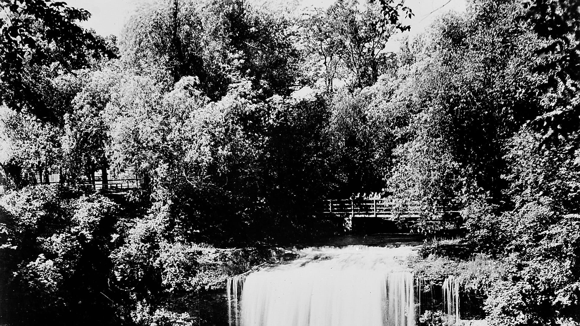
The Neversink is not one simple stream. The upper forks are small wild-trout water, while the lower river below the reservoir is a colder tailwater with PFR and remote gorge access.
USGS shows 193 cfs with a stable over about 6 hours trend. Today's flow is high for this date; the upper end of the normal range is near 179 cfs. Fishable water may exist, but do not rate it highly without a safe access, clarity, and wading or boat plan.
The forecast has storm or heavy-precipitation risk, so timing and access matter more than the score alone.
Bank / edge: Bank and edge fishing is the safer default when water is high, pushy, or not fully verified.
Early summer: Sulphurs, cahills, caddis, and evening spinner falls can be strong.
USGS water temperature is about 66F, with no heat stop triggered.
Read the water
Fish the Neversink when flows are stable, temperatures are trout-safe, and the access plan matches your reach. If the gorge is high or storms are nearby, choose easier water.
Lengthen leaders, use smaller dries or nymphs, and keep a low profile.
Dry-dropper rigs, Catskill dries, and nymphs can all work.
Fish edges with streamers only where wading is safe, or wait for the river to settle.
Check temperature; move to colder legal water or stop trout fishing when fish are stressed.
Your trip plan
Use RiverReports and USGS 01436690 at Bridgeville together for the lower-river plan. Stable cool flows are best; sharp rises, stained water, warm afternoons, or pushy gorge current should move the plan to easier water.
Skip or pivot when thunderstorms are nearby, the gorge is rising or hard to exit, water is too warm for trout handling, public access is uncertain, or current New York trout rules for the exact reach are not confirmed.
Start with the Bridgeville gauge, current weather, and one reach choice: upper wild-trout water, lower PFR water, or a deliberate Unique Area hike. Fish pocket seams, pool tails, and shaded banks rather than trying to sample every access.
If the Neversink is high, warm, crowded, or access-limited, compare Esopus Creek for another Catskill mountain-water option, Willowemoc Creek for classic trout water, or the Delaware East Branch for tailwater influence.
Hatches & flies
 Fly pattern · report suggests “Zebra midge”Zebra MidgeLook for a very slim tapered thread body, evenly spaced contrasting wire rib, a small bead, and no tail or wing. The reviewed classic is black with silver wire and a silver bead. Red, olive, brown, glass-bead, jig-hook, resin-coated, or tailed forms must remain labeled variations rather than replacing the classic identity.See photos & how to fish it ↗
 Fly family · report suggests “black stonefly nymph”Black Stonefly PatternsBlack stonefly wording is a color and insect-group label, not one exact recipe. Size, nymph versus adult stage, wing profile, and weighting must remain explicit.See family guide ↗+ 3 more reviewed guides in the Fly Box
  Fly family · report suggests “March Brown”March Brown Dry FliesThis family includes traditional hackled, parachute, and Comparadun-style March Brown dries. Each exact construction rides differently and should be named when known.See family guide ↗
 Fly family · report suggests “Gray Fox”Gray Fox Mayfly PatternsU.S. National Phenology Network lists Maccaffertium vicarium as March brown with grey fox as another common name. The natural aquatic specimens here share a broad patterned flat head, six sturdy legs, paired wing pads, plate-like lateral gills, a banded abdomen, and three tails. Common-name use can vary, so a report saying Gray Fox still requires local species, stage, size, and fly-form confirmation rather than an automatic traditional dry.See family guide ↗+ 3 more reviewed guides in the Fly Box
  Fly pattern · report suggests “Trico spinner”Trico SpinnerThe reviewed dry form is extremely sparse and flat, using a black body or thread head and pale spent wing. A weighted Sunken Trico Spinner is a separate variant.See photos & how to fish it ↗
 Fly family · report suggests “BWO”Blue-Winged Olive PatternsBWO describes a hatch group, not one fly. Nymph, emerger, dry, cripple, and spinner profiles must stay separate because they occupy different parts of the water column.See family guide ↗+ 4 more reviewed guides in the Fly Box Fly family · report suggests “BWO emerger”Blue-Winged Olive PatternsBWO describes a hatch group, not one fly. Nymph, emerger, dry, cripple, and spinner profiles must stay separate because they occupy different parts of the water column.See family guide ↗
 Fly family · report suggests “isonychia dry”Isonychia and Mahogany Dun PatternsIsonychia nymphs are active swimmers; emergers, parachute or other dry forms, and spinners occupy different levels. Mahogany Dun can be regional hatch wording, so it does not identify one exact fly recipe.See family guide ↗+ 3 more reviewed guides in the Fly Box
 Pick the reach first: upper wild water, lower PFR water, or the Unique Area.
Watch the water before casting; clear Catskill trout punish sloppy approach.
Nymph pocket seams and riffle heads before the hatch starts.
Use Catskill dry-fly patterns when fish rise in tailouts and soft edges.
Carry a small streamer for stained water, but do not force unsafe wading.
Rules & closures
Open the agency page to confirm the exact river section, species, season, tackle rules, limits, and emergency closures.
Official links checkedWe checked the state source but did not find a clearly supported exception for this river. Check the official rules for the exact section you plan to fish.
This summary helps with trip planning. The linked agency rule is the one you must follow.
Updates from anglers
Recent observations from general areas of Neversink River. We review every update before it appears and never publish exact fishing spots, private access details, or photo locations.
You can still use the river plan above. Check back later for recent observations from other anglers.
Where this report comes from
Fishing guidance checked: May 31, 2026
Site check: Jul 14, 2026. We regularly test report links, live scores, flow and weather data, and page loading. The content date changes only when the fishing guidance or its sources change.
Common questions
Check Bridgeville flow, water temperature, exact DEC reach category, and whether your access is public.
Yes. DEC reach categories change by section, so the rules are not the same from the upper forks to the lower gorge.
Often, but the gorge and lower river can become unsafe after storms. Use the gauge and skip crossings when flows rise.
Bring the seasonal hatch box, a nymph box, a few streamers, and a backup plan for clear, high, warm, or crowded water.