RiverReports preview · current series loading
Recent flow
RiverReports gauge
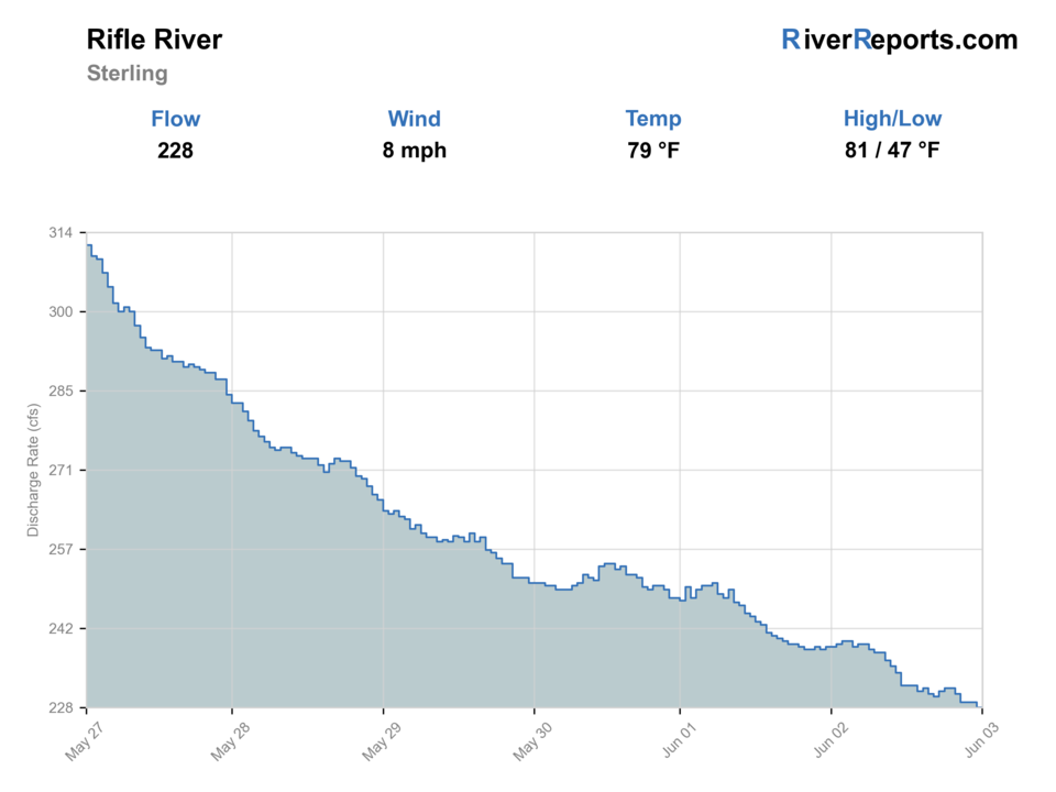
Showing the available RiverReports chart while the current structured flow series loads. Check the chart on RiverReports Opens in a new tab.
Flow is high for this time of year.
Best option: Floating. A float can fit better than wading only if launches, shuttle, boat skill, wind, and local rules all check out.
Rating updatedRiver local time:
USGS shows 273 cfs. The flow has been stable over about 6 hours. USGS marks this reading provisional and may revise it. USGS records for this date (1938-2026, 89 readings) show a median near 200 cfs and the upper quartile near 272 cfs; today's flow is high for the date. Fishable water may exist, but do not rate it highly without a safe access, clarity, and wading or boat plan.
NWS air forecast near
This is an air forecast, not a river-temperature reading. Check the water with a stream thermometer before fishing in hot weather.
RiverReports gauge
Showing the available RiverReports chart while the current structured flow series loads. Check the chart on RiverReports Opens in a new tab.
Sunny
The National Weather Service forecast is temporarily unavailable.
RiverReports gauge: Rifle River
Seasonal starting points, not a live hatch report. Match what you see on the water.
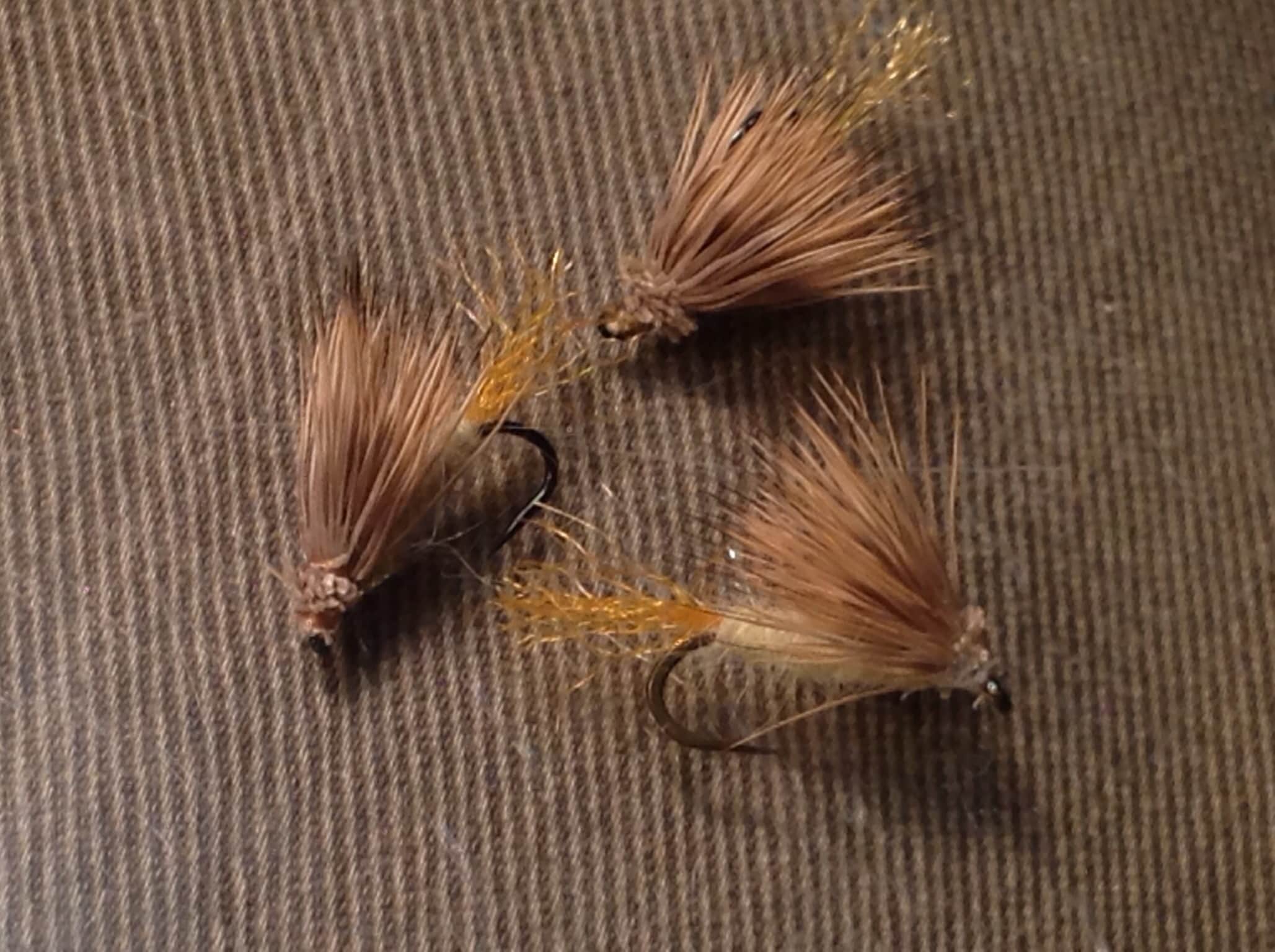
Also try hopper-dropper
Also try Comparadun
Each fly name opens its matching Fly Box guide.
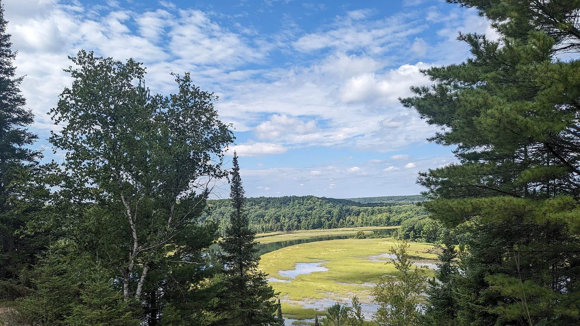
The Rifle is strongest when you want a public, wade-first Michigan trout plan that can still handle moderate flow. It loses value when runoff muddies the river, summer paddling pressure dominates the easiest access, or warm lower-area conditions push you toward stricter coldwater choices elsewhere.
The best general Rifle shape for seam fishing, nymphing, and covering a full wading stop without chasing isolated pockets.
Fish slower banks and protected edges only if the river still has definition. Otherwise wait for the color to drop.
Downsize, fish early or late, and lean on cover instead of blasting open riffles in bright light.
Shift upstream, shorten the day, or choose another river if the lower area no longer feels coldwater-safe.
These scores compare the risks of wading, bank fishing, and floating.
Wading is the most sensitive plan today. Use protected edges only, avoid crossings, and downgrade quickly if clarity or current feels wrong.
This report does not recommend bank fishing on this reach.
A float can fit better than wading only if launches, shuttle, boat skill, wind, and local rules all check out.
Is Rifle River worth the trip today? Check flow, weather, hatches, access, and rules for Michigan before you go.
The Rifle gives you more width and community-river pressure than the Jordan, but it is still a planning fishery. The best days come when flow is steady, the upper and middle corridors stay cool enough for trout, and you choose water that matches the amount of paddling and roadside traffic in play.
USGS shows 273 cfs. The flow has been stable over about 6 hours. USGS marks this reading provisional and may revise it. USGS records for this date (1938-2026, 89 readings) show a median near 200 cfs and the upper quartile near 272 cfs; today's flow is high for the date. Fishable water may exist, but do not rate it highly without a safe access, clarity, and wading or boat plan.
Fall: A strong nymph and streamer period with cooler nights and less casual float traffic.
The current NWS air forecast is about 45F, and the next 24-hour high reaches about 66F. Sunny.
No active NWS alert was returned for this forecast point.
Skip it when recent rain takes away visual definition or when warm lower-river conditions force you to talk yourself into trout water that no longer feels cold enough.
Steady moderate flows that keep riffles alive and seam edges obvious without pushing color so hard that every run becomes a blind bank shot.
Skip it when recent rain takes away visual definition or when warm lower-river conditions force you to talk yourself into trout water that no longer feels cold enough.
Decide first whether you want a recreation-area access day or a quieter upper- or middle-river pull-off day, then fish one area with discipline instead of driving the whole watershed.
If runoff, warmth, or traffic compromise the Rifle, switch to a colder nearby trout system rather than forcing the lower area to be something it is not.
Use these places as starting points. Open the access link below and check posted signs before you park or enter.
Use the current Michigan inland fishing rules and map layer before fishing because the Rifle includes section-by-section trout rules that can differ from general inland rules.
The most obvious official access hub for hiking, parking, and river entries on the system.
Useful for trout-focused wade sessions away from the heaviest recreation-area concentration.
Best treated as a gauge and larger-river context check rather than the default trout answer in warm periods.
Official agencies and primary river operators come first. Secondary tools are labeled so you know what carries the most weight.
Check what is allowed, where the rule applies, and whether the river is open.
Check the latest river reading and forecast before you leave.
Check public entry points, land rules, and seasonal access changes.
Use these links for stocking, safety, and other local details.
Check what is allowed, where the rule applies, and whether the river is open.
Open the current rules and check the river section, season, and special limits.
Check the latest river reading and forecast before you leave.
Open this page and check the latest safety advice before your trip.
Open this river reading to check the latest level, flow, and update time.
Open this river reading to check the latest level, flow, and update time.
Check public entry points, land rules, and seasonal access changes.
Open the land or access page, then check signs before you park or enter.
Use these links for stocking, safety, and other local details.
Open this page for more river information and check when it was last updated.
Open this page for more river information and check when it was last updated.
What was checked: This report uses official regulation, flow, weather, access, and public-land sources first, then adds practical planning guidance for fly anglers.
Live measurements and forecasts keep their provider timestamps. Rules, access, and trip guidance use the source-review date shown here. BlueStreamFly planning advice is editorial interpretation, not an agency notice.
First-hand experience: BlueStreamFly does not claim a first-hand visit or local field test for this report unless a real contributor is explicitly named and linked.
Start with RiverReports and USGS 04142000 to understand the trend, then verify the current Michigan trout rules for the specific reach you intend to fish.
It can be, especially in the upper and middle river, but the lower area deserves extra caution as water warms and recreation pressure rises.
Skip it when heavy rain leaves the river without clear seam definition or when lower-river warmth and constant traffic make the day feel more compromised than productive.