USGS 01175500 at West Ware · Quabbin tailwater · discharge in cfs
Discharge
Latest reading: 119 cfs. Stable over about 6 hours. Chart covers Sep 5 through Sep 12; readings are provisional and may be revised.

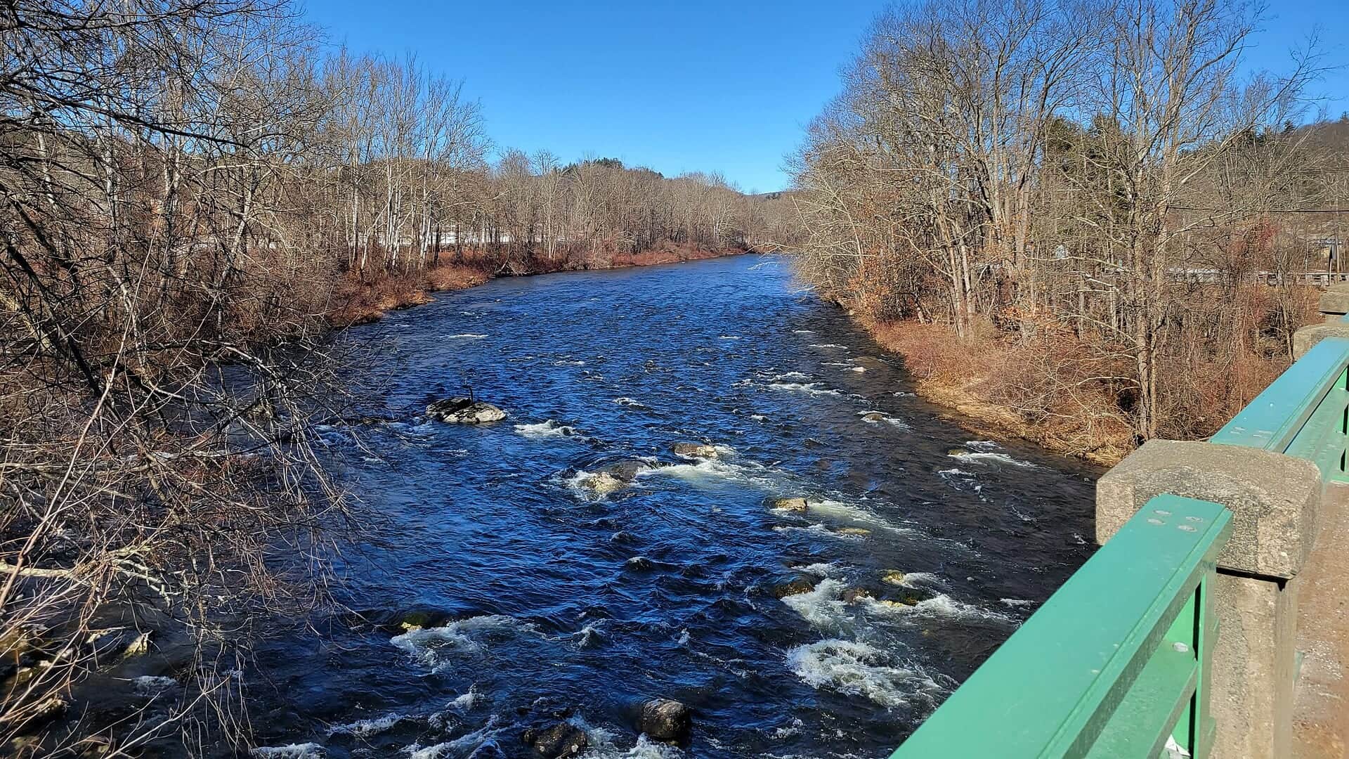
Photo: Pi.1415926535 Opens in a new tab. · CC BY-SA 4.0 Opens in a new tab. · Ware, June 2021; historical river context, not today's conditions or an upper-reach access view. Cropped for display.
Fishable with caution. Keep to reachable water.
Fish from the bank. Avoid crossings. Use a legal bank with a clear exit, measure the water and leave for rising flow or lightning.
Check first: Water temperature not verified; do not use this score to clear warm-water risk. Current West Ware flow and weather support tailwater planning. Water temperature, clarity, fish activity, crowds and exact access conditions are not measured.
Rating updatedRiver local time:
USGS shows 119 cfs. The flow has been stable over about 6 hours. USGS marks this reading provisional and may revise it. USGS records for this date (1940-2025, 86 readings) show a median near 93 cfs and the upper quartile near 115 cfs; today's flow is high for the date. USGS 01175500 describes flow and stage in the Quabbin tailwater at West Ware. It does not measure water temperature, clarity, fish activity, crowds or safe wading. Same-date historical flow is context, not a universal fishable range. The same-date comparison uses 1940-2025 gauge records; use that older record as context, not a current normal-flow threshold. Fishable water may exist, but do not rate it highly without a safe access, clarity, and wading or boat plan.
NWS air forecast near
This is an air forecast, not a river-temperature reading. Check the water with a stream thermometer before fishing in hot weather.
Discharge
Latest reading: 119 cfs. Stable over about 6 hours. Chart covers Sep 5 through Sep 12; readings are provisional and may be revised.

Clear
The National Weather Service forecast is temporarily unavailable.
Current U.S. Geological Survey gauge: Swift River at West Ware
Seasonal starting points, not a live hatch report. Match what you see on the water.
Start with your month's row, then match the insect size and feeding you see. These are seasonal suggestions, not a live hatch report.
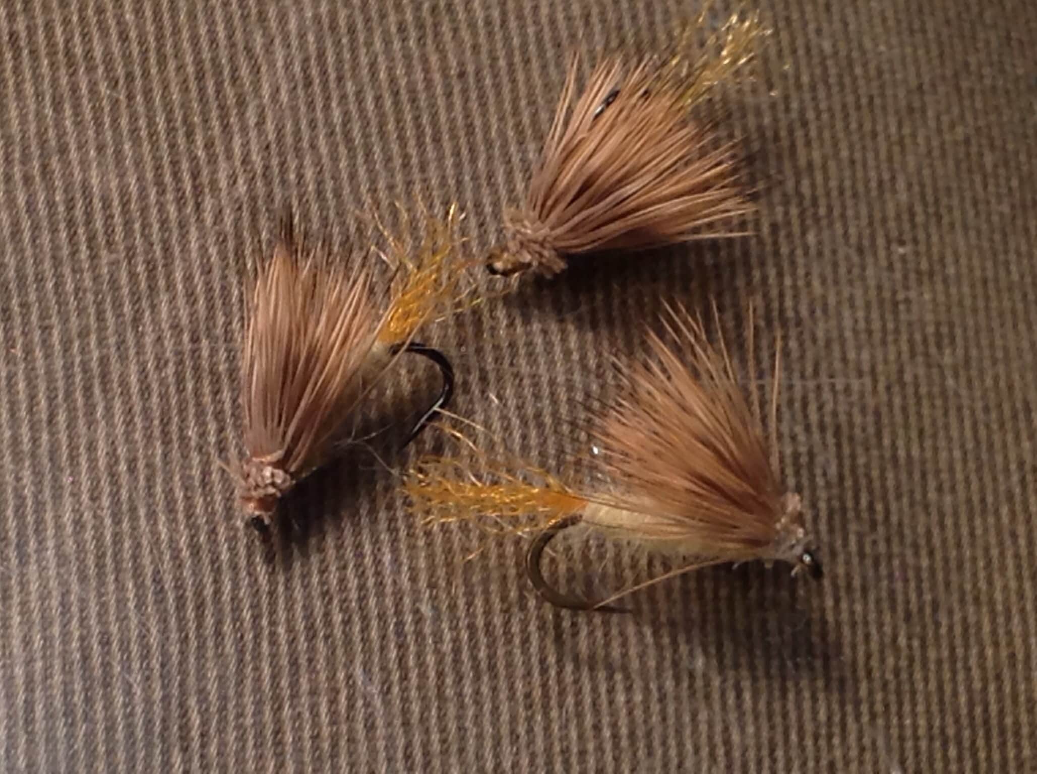
Every choice links to a pictured guide. Family guides show a named example: the Sulphur photo is a parachute dry, not a comparadun or emerger. A dry-dropper is a rig, not a single fly.
A stable release can make the day easier to plan, but fish still respond to light, food and disturbance. Use the live readings above and actual feeding to choose your presentation.
Look for reachable feeding lanes. Stable discharge does not prove clear water, low crowds or safe footing.
Avoid crossings. Stay on a legal bank when depth, current or the exit is uncertain.
Approach slowly, fish the nearest lane first and avoid walking through shallow holding water.
West Ware does not supply a current temperature here. Measure at your access. As a conservative trout-care rule, stop at 70°F or warmer, or sooner if fish show stress.
These scores compare the risks of wading, bank fishing, and floating.
Only enter a visible protected edge after checking current, depth, footing and an easy exit. Avoid forced crossings.
Use a legal bank with stable footing and casting room. Confirm the reach's rules, access hours and water temperature.
This report does not recommend floating this reach.
Plan a short trout session below Quabbin near Belchertown and Ware. Start with the flow, choose your side of Route 9, and match a small fly to the feeding you see.
USGS 01175500 measures flow and stage below Quabbin. The fishing rating combines those readings with weather and reviewed trout guidance. It does not measure water temperature, clarity, crowds or fish activity.
USGS shows 119 cfs. The flow has been stable over about 6 hours. USGS marks this reading provisional and may revise it. USGS records for this date (1940-2025, 86 readings) show a median near 93 cfs and the upper quartile near 115 cfs; today's flow is high for the date. USGS 01175500 describes flow and stage in the Quabbin tailwater at West Ware. It does not measure water temperature, clarity, fish activity, crowds or safe wading. Same-date historical flow is context, not a universal fishable range. The same-date comparison uses 1940-2025 gauge records; use that older record as context, not a current normal-flow threshold. Fishable water may exist, but do not rate it highly without a safe access, clarity, and wading or boat plan.
USGS 01175500 at West Ware supplies flow and stage, not a current water-temperature reading. Measure the exact access. Choose another water at 70°F or warmer.
Bank / edge: Use a legal bank with stable footing and casting room. Confirm the reach's rules, access hours and water temperature.
September–December: Small olives and midges remain useful starting points.
The current NWS air forecast is about 53F, and the next 24-hour high reaches about 75F. Clear.
Use fresh West Ware flow, the six-hour trend and same-date history. No single cfs range guarantees catches or safe wading.
Leave for lightning, rapid rises, uncertain footing or access restrictions. Measure water. Stop trout fishing at 70°F or warmer, or sooner if fish show stress.
Choose the correct side of Route 9, confirm its rules, then watch one reachable lane before selecting a small fly.
If parking is full or the water is unsuitable, try another time. Nearby rivers need their own flow, temperature, rule and access checks.
When: Year-round, within reach-specific rules and access hours
Brook, rainbow and brown trout guide this plan. Water temperature, flow, food and disturbance affect the day.
When: Separate trip plan
The rating does not cover reservoir salmon, lake boating, upstream branches or New Hampshire's Swift River.
Route 9 separates two rule zones. Use designated parking and posted approaches; neither the gauge nor an informal pull-off grants access.
Winsor Dam to Route 9: catch-and-release and fly fishing only all year. DCR lists fishing from the Y-Pool to Route 9 from 4 AM to 9 PM. Stay out of the power-station no-trespassing zone. Route 9 to Cady Lane: July 1–December 31 is catch-and-release with artificial lures only. January 1–June 30 allows bait and harvest under the applicable state limits. Do not possess bait in a catch-and-release area. Check current MassWildlife rules, DCR notices, and posted boundaries before fishing.
| River section and season | Fishing rules |
|---|---|
| Winsor Dam–Route 9 | Winsor Dam to Route 9: catch-and-release and fly fishing only all year. DCR lists fishing from the Y-Pool to Route 9 from 4 AM to 9 PM. Stay out of the power-station no-trespassing zone. Official rule |
| Route 9–Cady Lane | Route 9 to Cady Lane: July 1–December 31 is catch-and-release with artificial lures only. January 1–June 30 allows bait and harvest under the applicable state limits. Official rule |
| Tackle and release | Do not possess bait in a catch-and-release area. Check current MassWildlife rules, DCR notices, and posted boundaries before fishing. Official rule |
Use posted parking and the marked approach toward the Y-Pool. Fly fishing and catch-and-release apply year-round. Check DCR hours and the power-station exclusion.
Site detailsUse the access areas identified by MassWildlife. The Route 9–Cady Lane rules change July 1 and January 1. Inspect signs and footing.
Site detailsThe named downstream end of this special-rule area. Confirm the posted boundary and legal approach. Do not extend this rating into another reach.
Site detailsDesk review dated September 3, 2026. Live readings update separately. No field visit, current hatch, water-temperature reading or access inspection is claimed.
Check what is allowed, where the rule applies, and whether the river is open.
Check the latest river reading and forecast before you leave.
Check public entry points, land rules, and seasonal access changes.
Use these links for stocking, safety, and other local details.
Check what is allowed, where the rule applies, and whether the river is open.
Open the current rules and check the river section, season, and special limits.
Check the latest river reading and forecast before you leave.
Open this page and check the latest safety advice before your trip.
Open this river reading to check the latest level, flow, and update time.
Check public entry points, land rules, and seasonal access changes.
Open the land or access page, then check signs before you park or enter.
Use these links for stocking, safety, and other local details.
Open this page for more river information and check when it was last updated.
What was checked: Desk review of USGS, NWS and official Massachusetts source text. No field visit, current hatch, catch, water-temperature reading, access inspection or safe-wading assessment is claimed.
Live measurements and forecasts keep their provider timestamps. Rules, access, and trip guidance use the source-review date shown here. BlueStreamFly planning advice is editorial interpretation, not an agency notice.
First-hand experience: BlueStreamFly does not claim a first-hand visit or local field test for this report unless a real contributor is explicitly named and linked.
Yes. USGS 01175500 at West Ware supplies flow, stage and the seven-day discharge chart for this tailwater. It does not supply a current water-temperature reading here.
The Quabbin tailwater near Belchertown and Ware, from Winsor Dam to Cady Lane. It does not rate the reservoir, upstream branches or New Hampshire's Swift.
Winsor Dam to Route 9 is fly fishing only and catch-and-release year-round. Stay outside the power-station exclusion and check the permitted upper access hours.
Between Route 9 and Cady Lane, July through December is catch-and-release with artificial lures only. January through June permits bait and harvest under applicable state limits. Check the current guide before fishing.
DCR lists Y-Pool to Route 9 fishing from 4 AM to 9 PM. Check current notices and signs. Do not use reservoir night-access information to extend this window.
Start with the pictured row for your month. Small midges and nymphs are useful starting points. Use olives, sulphurs, caddis or ants when you see matching activity. The photos identify patterns, not today's hatch.
No. It is a flow-and-weather fishing-planning estimate, not a safety measurement or catch prediction. Check legal access, water temperature, depth, current, footing and an easy exit.