Live flow is not available
No single flow chart can represent this regional page. Use the source list to choose the gauge for the exact Allagash, St. John, Aroostook, or Penobscot-side water you will fish.
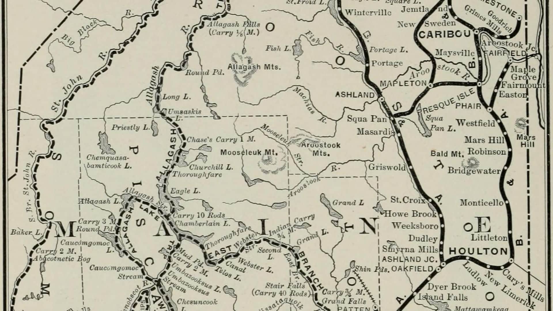
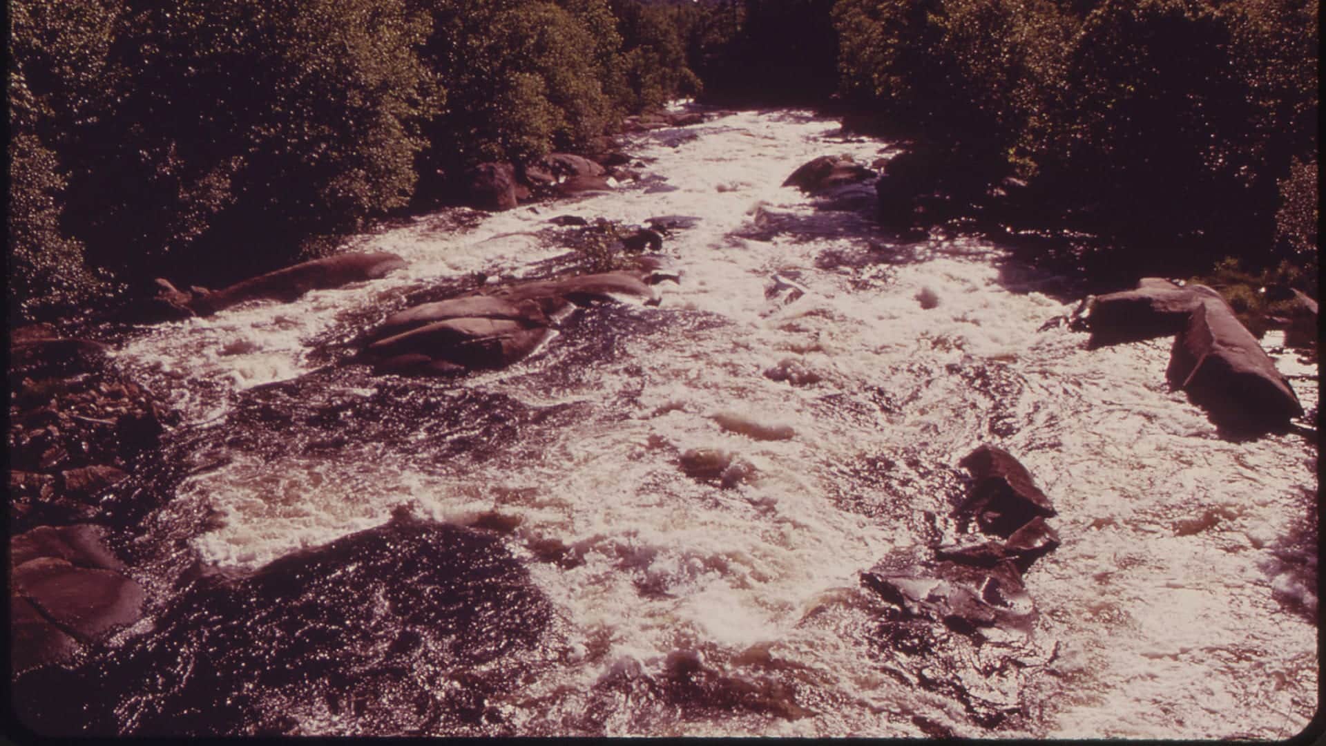
Photo: Bangor and Aroostook Railroad Company Opens in a new tab. · No restrictions
We could not confirm a live gauge for this river. Check the weather, recent rain, local reports, and the water before you fish.
Check first: Live information is incomplete. Treat this score as a planning estimate.
Rating updatedRiver local time:
No verified live public gauge is attached, so the page cannot make a strong real-time call.
NWS air forecast near
This is an air forecast, not a river-temperature reading. Check the water with a stream thermometer before fishing in hot weather.
No single flow chart can represent this regional page. Use the source list to choose the gauge for the exact Allagash, St. John, Aroostook, or Penobscot-side water you will fish.
Partly Cloudy
The National Weather Service forecast is temporarily unavailable.
Official flow source: North Maine Woods regional gauge selection
No single flow chart can represent this regional page. Use the source list to choose the gauge for the exact Allagash, St. John, Aroostook, or Penobscot-side water you will fish.
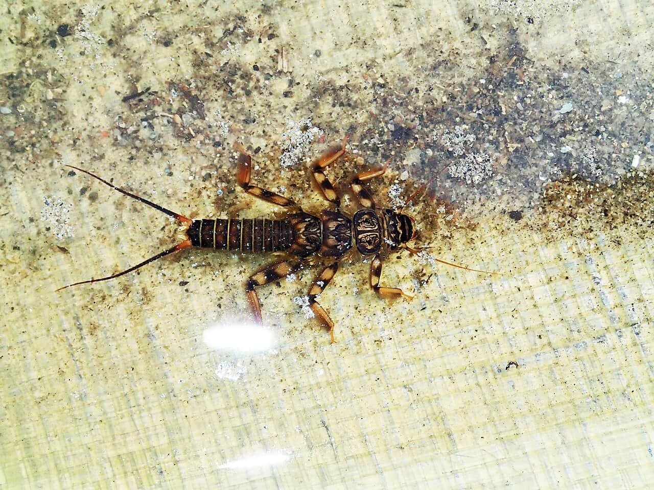
Seasonal starting points, not a live hatch report. Match what you see on the water.
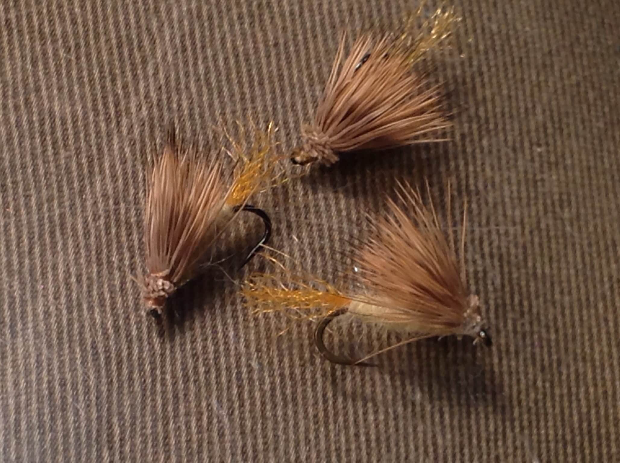
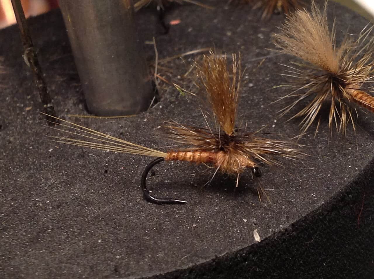
No pictured fly picks are available for this time of year. Open the seasonal guide below for this river’s recommendations and limits.
Also try tungsten dropper
Each fly name opens its matching Fly Box guide.
The best North Maine Woods trips are built around an exact river, current road access, cool water, and conservative travel margins. If you cannot verify the road and rule details, stay closer to a known access area.
Best for dry-dropper fishing, small streamers, and covering pocket water carefully.
Skip unsafe crossings and use larger river gauges before committing to a remote road.
Fish early, use a thermometer, and stop targeting trout when handling risk rises.
Move quietly, keep fish wet, and do not crowd fragile small-stream holding water.
We could not confirm all current conditions. Check locally before choosing how to fish.
Current conditions at the exact access are not verified. No access method is recommended until they are checked.
Current conditions at the exact access are not verified. No access method is recommended until they are checked.
Current conditions at the exact access are not verified. No access method is recommended until they are checked.
Is North Maine Woods Rivers worth the trip today? Check flow, weather, hatches, access, and rules for Maine before you go.
North Maine Woods is not one river with one rule and one gauge. Pick the exact water first, then check its special law, permit or checkpoint needs, road status, weather, and gauge.
No verified live public gauge is attached, so the page cannot make a strong real-time call.
Fall: Check September special laws, closures, and remote travel conditions before planning.
The current NWS air forecast is about 30F, and the next 24-hour high reaches about 52F. Partly Cloudy.
No active NWS alert was returned for this forecast point.
Skip or shorten the trip when the exact waterbody rule is unclear, checkpoint or camping logistics are unresolved, roads are washed out, water is high enough to make crossings unsafe, or warm low water threatens trout handling.
Use the source list as a gauge-selection menu. The Allagash, St. John, and Penobscot-side waters can move differently, so pair the chosen river's gauge with rain, road, and canoe-route conditions.
Skip or shorten the trip when the exact waterbody rule is unclear, checkpoint or camping logistics are unresolved, roads are washed out, water is high enough to make crossings unsafe, or warm low water threatens trout handling.
Pick the river first, then confirm Maine special laws, North Maine Woods fees and rules, checkpoint hours, road condition, gauge trend, weather, and the nearest realistic backup before packing flies.
If a North Maine Woods route is blocked by roads, high water, heat, or logistics, compare the East Outlet Kennebec, Rapid River, or Magalloway River where the planning sources are more focused.
Use these places as starting points. Open the access link below and check posted signs before you park or enter.
This page cannot summarize one rule for the whole North Maine Woods. Maine IFW special laws must be checked by exact waterbody, reach, method, and season.
Use current fee, checkpoint, camping, and road-rule information before entering.
Plan around exact reach rules, canoe logistics, and flow conditions.
RiverReports and USGS can help selected North Branch or East Branch planning, but one gauge does not cover the region.
Official agencies and primary river operators come first. Secondary tools are labeled so you know what carries the most weight.
Check what is allowed, where the rule applies, and whether the river is open.
Check the latest river reading and forecast before you leave.
Check public entry points, land rules, and seasonal access changes.
Check what is allowed, where the rule applies, and whether the river is open.
Open the current rules and check the river section, season, and special limits.
Check the latest river reading and forecast before you leave.
Open this page and check the latest safety advice before your trip.
Open this river reading to check the latest level, flow, and update time.
Open this river reading to check the latest level, flow, and update time.
Open this river reading to check the latest level, flow, and update time.
Check public entry points, land rules, and seasonal access changes.
Open the land or access page, then check signs before you park or enter.
Open the land or access page, then check signs before you park or enter.
What was checked: This report is maintained from current regulation, access, flow, weather, and public planning sources so anglers can make better trip decisions than a raw gauge or generic overview would allow.
Live measurements and forecasts keep their provider timestamps. Rules, access, and trip guidance use the source-review date shown here. BlueStreamFly planning advice is editorial interpretation, not an agency notice.
First-hand experience: BlueStreamFly does not claim a first-hand visit or local field test for this report unless a real contributor is explicitly named and linked.
Pick the exact water first, then check the relevant USGS or RiverReports gauge, weather, road status, and checkpoint rules.
Yes, but the rules vary by exact waterbody. Maine IFW special laws are required reading.
No. Access is remote and depends on private-road rules, checkpoints, fees, weather, and road condition.
Bring the hatch chart flies, a few confidence nymphs or baitfish patterns, and a backup selection for high, low, clear, stained, cold, or warm conditions.